Ambrosden

Settlement in Oxfordshire Cherwell

England

Ambrosden

A41 near Stone Pits Farm
A41 near Stone Pits Farm Credit: Colin Pyle

Ambrosden is a village located in the Cherwell district of Oxfordshire, England. Situated approximately 4 miles northeast of Bicester, it is a small and picturesque rural settlement with a population of around 1,800 residents.

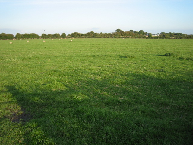
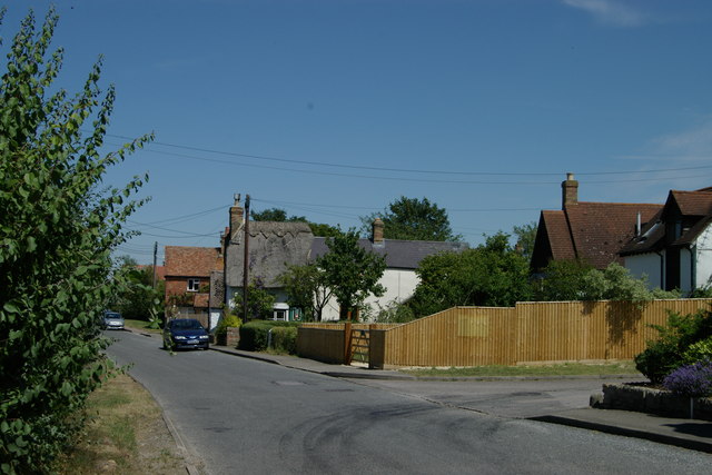
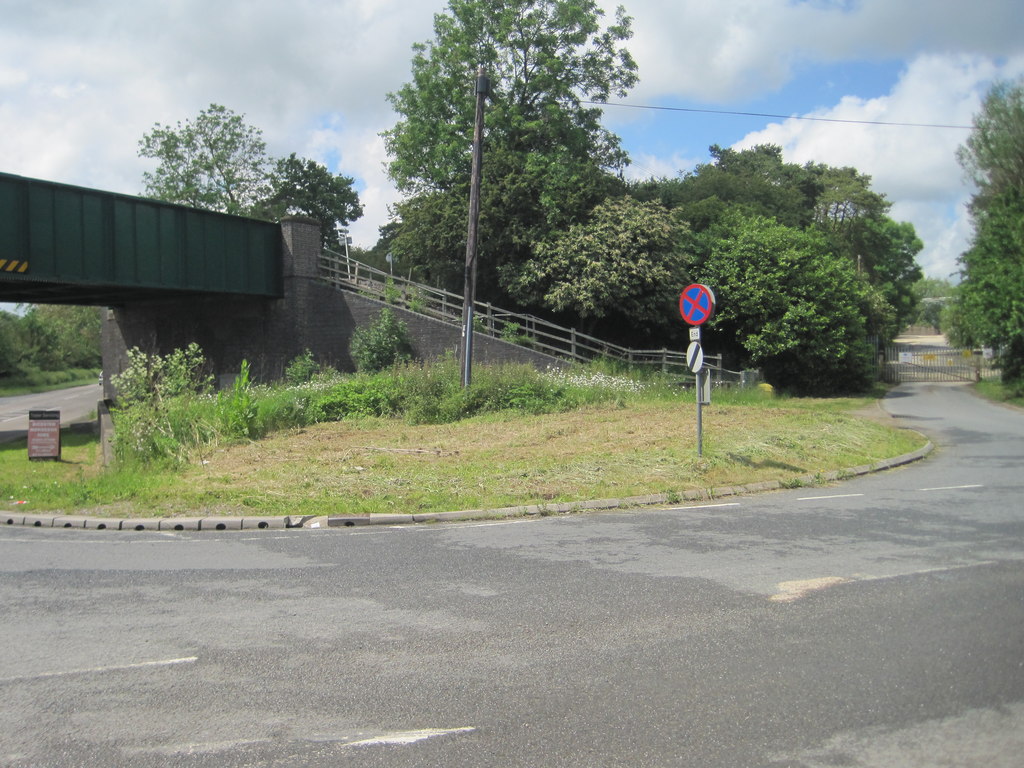
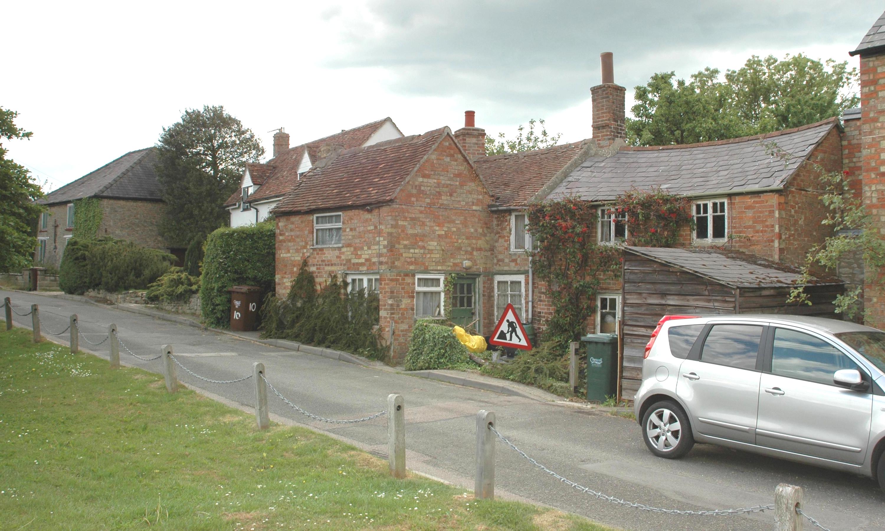
The village is surrounded by the fertile farmland of the Oxfordshire plain, offering a peaceful and idyllic setting. It is characterized by its charming thatched cottages, historic buildings, and well-tended gardens, which contribute to its quintessential English village atmosphere.

Ambrosden has a rich history dating back to the Roman period, and evidence of Roman settlement can still be found in the area. However, it was during the medieval period that the village flourished, benefiting from the growth of nearby Bicester and the establishment of a local priory.

Today, the village has a range of amenities to cater to its residents. This includes a primary school, a post office, a village hall, and a local pub. The community is close-knit, and various events and activities are organized throughout the year, fostering a strong sense of community spirit.

Ambrosden's location also offers easy access to larger towns and cities. The nearby town of Bicester provides additional services, shopping centers, and transport links, including a train station with direct connections to London and Birmingham.

In summary, Ambrosden is a charming village in Oxfordshire that offers a tranquil and picturesque setting, a rich history, and a close-knit community.

If you have any feedback on the listing, please let us know in the comments section below.
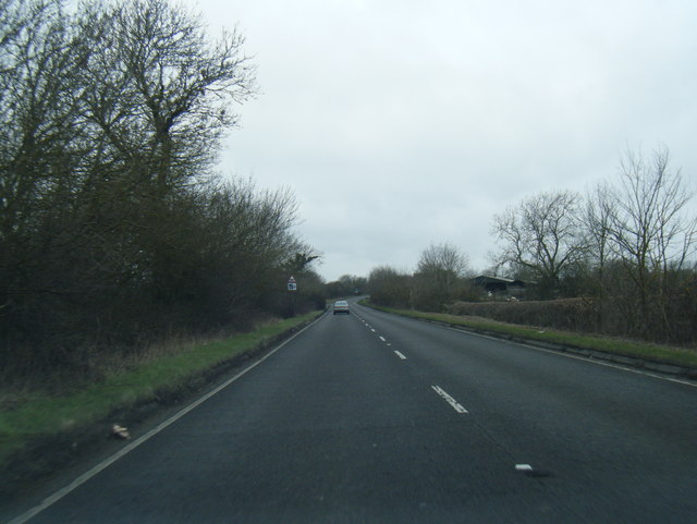
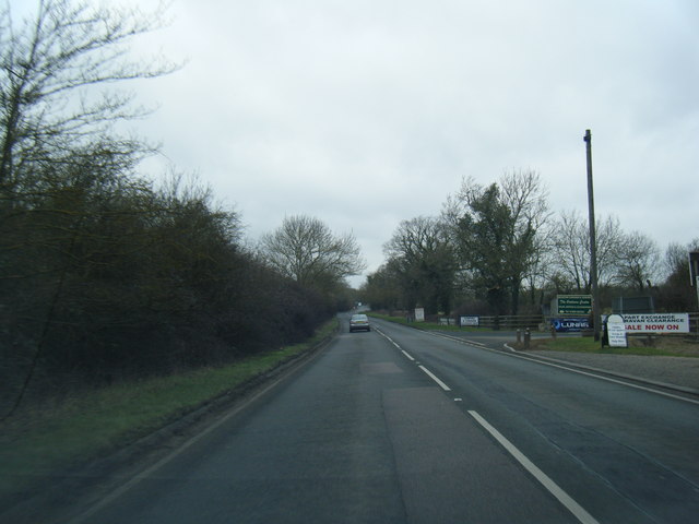
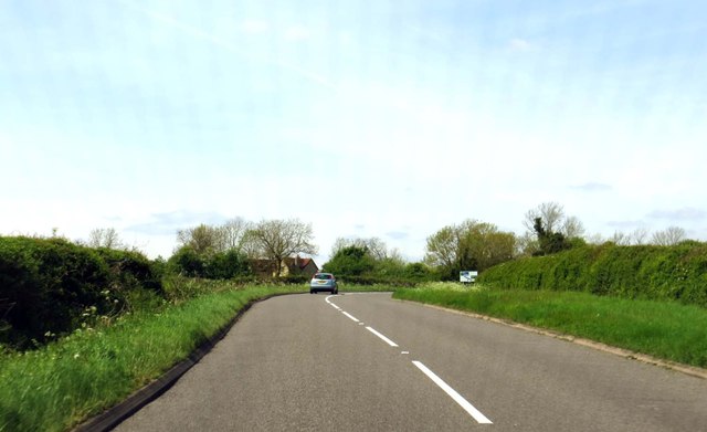
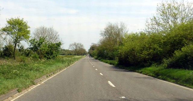
Ambrosden Images

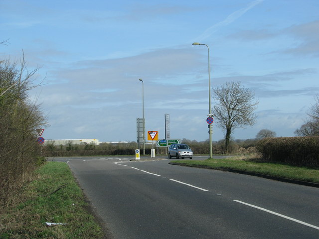
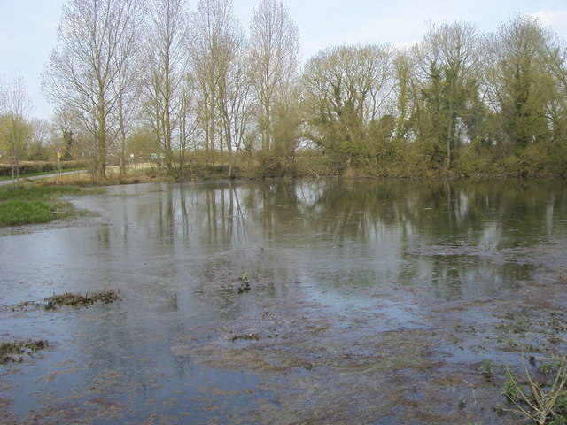
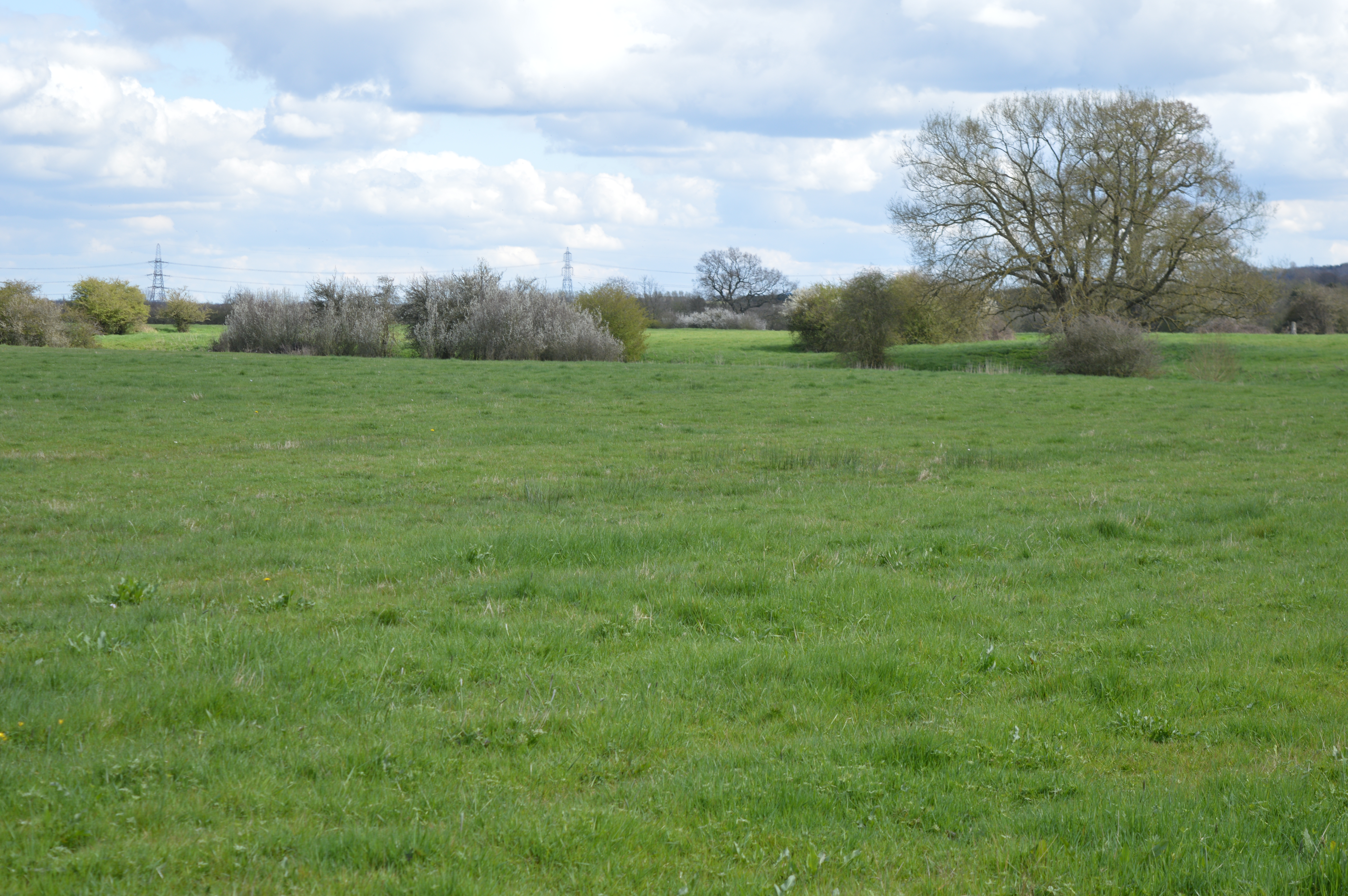
Images are sourced within 2km of 51.869846/-1.123403 or Grid Reference SP6019. Thanks to Geograph Open Source API. All images are credited.

A41 near Stone Pits Farm
A41 looking west
A41 looking west
The B4011 to Bicester The B4011 runs from Thame to Bicester.
The B4011 to Bicester
The B4011 runs from Thame to Bicester.
The A41 near Stone Pits Farm The A41 follows the former Roman road, Akeman Street.
The A41 near Stone Pits Farm
The A41 follows the former Roman road, Akeman Street.
The A41 to Aylesbury The A41 follows the Roman road, Akeman Street.
The A41 to Aylesbury
The A41 follows the Roman road, Akeman Street.
Blackthorn East Mill Tower windmill converted to a house.
The west mill is shown on the map but is truncated and not visible from a public location.
Blackthorn East Mill
Tower windmill converted to a house. The west mill is shown on the map but is truncated and not visible from a public location.
Mill House Farm Next to Blackthorn East Mill
Mill House Farm
Next to Blackthorn East Mill
Houses on Springfields, Ambrosden Looking from Blackthorn Road.
Houses on Springfields, Ambrosden
Looking from Blackthorn Road.
Blackthorn Road meets B4011
Arncott Platform Arncott Platform was a halt on the Bicester Military Railway for MOD staff when the railway was in full use during WW2 and the decade after.  The track has now been removed as the present day use of the railway is confined to the Graven Hill section.
Arncott Platform
Arncott Platform was a halt on the Bicester Military Railway for MOD staff when the railway was in full use during WW2 and the decade after. The track has now been removed as the present day use of the railway is confined to the Graven Hill section.
Arncott Signal Box The signal box at Arncott on the Bicester Military Railway at the end of the connecting line from Graven Hill.  The line ahead fans out into three routes, but nowadays is mostly disused.
Arncott Signal Box
The signal box at Arncott on the Bicester Military Railway at the end of the connecting line from Graven Hill. The line ahead fans out into three routes, but nowadays is mostly disused.
Merton Road level crossing The level crossing on Merton Road in Ambrosden on the Bicester Military Railway.  This crossing retains the old swinging gates which were originally produced by the GWR Signal Depot in Reading in the 1940's.  The crossing is now seldom used as most military rail traffic is confined to the Graven Hill section of the railway.
Merton Road level crossing
The level crossing on Merton Road in Ambrosden on the Bicester Military Railway. This crossing retains the old swinging gates which were originally produced by the GWR Signal Depot in Reading in the 1940's. The crossing is now seldom used as most military rail traffic is confined to the Graven Hill section of the railway.
Field
Field
A41 looking west
A41 looking west
A41 looking west
A41 looking west
The road to Ambrosden
The road from Ambrosden meets the A41
Weir Pond Weir pond by Lower Road
Weir Pond
Weir pond by Lower Road
Show me another place!

Ambrosden is located at Grid Ref: SP6019 (Lat: 51.869846, Lng: -1.123403)

Administrative County: Oxfordshire

District: Cherwell

Police Authority: Thames Valley

What 3 Words

///crass.suave.tumblers. Near Ambrosden, Oxfordshire

Nearby Locations

Ambrosden

Related Wikis

Nearby Amenities

Located within 500m of 51.869846,-1.123403
Ambrosden
Is In: Oxfordshire, England, UK
Place: village
Wikidata: Q2692883
Wikipedia: en:Ambrosden
Lat/Long: 51.871261/-1.1243062
Pub
The Turner Arms
Lat/Long: 51.8692676/-1.124503
Railway: level_crossing
Lat/Long: 51.8686047/-1.1259006
Turning Circle
Lat/Long: 51.8697502/-1.1259671
Post Box
Post Box Type: pillar
Ref: OX25 683
Royal Cypher: EIIR
Royal Cypher Wikidata: Q33102113
Lat/Long: 51.869811/-1.1235232
Post Office
Ambrosden Post Office
Addr City: Bicester
Addr Country: GB
Addr Postcode: OX25 2LX
Addr Street: Merton Road
Addr Village: Ambrosden
Brand: Post Office
Brand Wikidata: Q1783168
Opening Hours: Mo-Fr 07:00-17:00; Sa 08:00-13:00
Ref Pol Id: 126
Website: https://www.postoffice.co.uk/branch-finder/0531375/ambrosden
Lat/Long: 51.8697671/-1.1236144
Shop: convenience
Lat/Long: 51.8697349/-1.1236687
Old Phone: +44 1869 241100
Removed Amenity: telephone
Lat/Long: 51.8729042/-1.1225103
Old Phone: +44 1869 242381
Removed Amenity: telephone
Lat/Long: 51.8728835/-1.1224925
Old Phone: +44 1869 253197
Removed Amenity: telephone
Lat/Long: 51.8729166/-1.1224898
Post Box
Post Box Mounting: brick_pillar
Post Box Type: wall
Postal Code: OX25
Ref: OX25 920
Lat/Long: 51.8729324/-1.1225189
Crossing
Lat/Long: 51.8717199/-1.1208761
Amigo
Shop: supermarket
Lat/Long: 51.8738151/-1.123794
Recycling
Recycling Clothes: yes
Recycling Glass Bottles: yes
Recycling Shoes: yes
Lat/Long: 51.8741971/-1.1241619
Bus Stop
Ploughley Road Garage
Bus: yes
Local Ref: o/s
Naptan AtcoCode: 340001858NOR
Naptan Bearing: N
Naptan CommonName: Ploughley Road
Naptan Indicator: Outside Garage
Naptan Landmark: Garage
Naptan NaptanCode: oxfgjawg
Naptan Street: Ploughley Road
Naptan Verified: no
Public Transport: platform
Source: naptan_import
Lat/Long: 51.8694834/-1.1218232
Bus Stop
Ploughley Road Garage
Bus: yes
Local Ref: opp
Naptan AtcoCode: 340001858SOU
Naptan Bearing: S
Naptan BusStopType: CUS
Naptan CommonName: Ploughley Road
Naptan Indicator: Opposite Garage
Naptan Landmark: Garage
Naptan NaptanCode: oxfgjawm
Naptan Street: Ploughley Road
Naptan Verified: no
Public Transport: platform
Source: naptan_import
Lat/Long: 51.8694736/-1.1217218
Bus Stop
Birch Road
Bus: yes
Local Ref: opp
Naptan AtcoCode: 340001859OPC
Naptan Bearing: SW
Naptan CommonName: Birch Road
Naptan Indicator: Opposite
Naptan Landmark: Bus Shelter
Naptan NaptanCode: oxfgjdam
Naptan Street: Merton Road
Naptan Verified: no
Public Transport: platform
Source: naptan_import
Lat/Long: 51.8699693/-1.1230774
Bus Stop
Birch Road
Bus: yes
Local Ref: adj
Naptan AtcoCode: 340001859SHP
Naptan Bearing: NE
Naptan BusStopType: CUS
Naptan CommonName: Birch Road
Naptan Indicator: Corner
Naptan Landmark: Opp Bus Shelter
Naptan NaptanCode: oxfgjdaj
Naptan Street: Merton Road
Naptan Verified: no
Public Transport: platform
Source: naptan_import
Lat/Long: 51.8699798/-1.1232806
Bus Stop
Willow Road
Bus: yes
Local Ref: opp
Public Transport: platform
Lat/Long: 51.8726097/-1.1213736
Bus Stop
Willow Road
Bus: yes
Local Ref: adj
Public Transport: platform
Lat/Long: 51.8726935/-1.1216883
Costcutter
Brand: Costcutter
Brand Wikidata: Q5175072
Shop: convenience
Lat/Long: 51.8737955/-1.1239659
three corner garage
Shop: car
Lat/Long: 51.8701585/-1.121733
the hair lounge
Shop: hairdresser
Lat/Long: 51.8696875/-1.1236837
Generator Method: photovoltaic
Generator Output Electricity: yes
Generator Source: solar
Generator Type: solar_photovoltaic_panel
Location: roof
Power: generator
Lat/Long: 51.8740452/-1.1212197
Generator Method: photovoltaic
Generator Output Electricity: yes
Generator Source: solar
Generator Type: solar_photovoltaic_panel
Location: roof
Power: generator
Lat/Long: 51.8728313/-1.1207181
Generator Method: photovoltaic
Generator Output Electricity: yes
Generator Source: solar
Generator Type: solar_photovoltaic_panel
Location: roof
Power: generator
Lat/Long: 51.8727237/-1.1208415
Generator Method: photovoltaic
Generator Output Electricity: yes
Generator Source: solar
Generator Type: solar_photovoltaic_panel
Location: roof
Power: generator
Lat/Long: 51.872462/-1.1262274
Generator Method: photovoltaic
Generator Output Electricity: yes
Generator Source: solar
Generator Type: solar_photovoltaic_panel
Location: roof
Power: generator
Lat/Long: 51.8724537/-1.1261576
Generator Method: photovoltaic
Generator Output Electricity: yes
Generator Source: solar
Generator Type: solar_photovoltaic_panel
Location: roof
Power: generator
Lat/Long: 51.8715512/-1.1261711
Generator Method: photovoltaic
Generator Output Electricity: yes
Generator Source: solar
Generator Type: solar_photovoltaic_panel
Location: roof
Power: generator
Lat/Long: 51.8691763/-1.1252028
Turning Circle
Lat/Long: 51.8701426/-1.1250154
Direction: both
Traffic Calming: chicane
Lat/Long: 51.8674575/-1.1288496
Defibrillator
Defibrillator Location: outside Ambrosden Village Hall
Emergency: defibrillator
Indoor: no
Lat/Long: 51.869985/-1.1238823
Advertising: board
Lat/Long: 51.8698806/-1.1235833
The data included in this document is from www.openstreetmap.org. The data is made available under ODbL.

Have you been to Ambrosden?

Leave your review of Ambrosden below (or comments, questions and feedback).