Charterhouse Wood

Wood, Forest in Roxburghshire

Scotland

Charterhouse Wood

The last strip of cereal to be combine harvested With Miens Neuk in the background.
The field now awaits the baler!
The last strip of cereal to be combine harvested Credit: Russel Wills

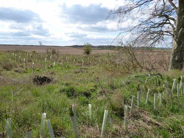
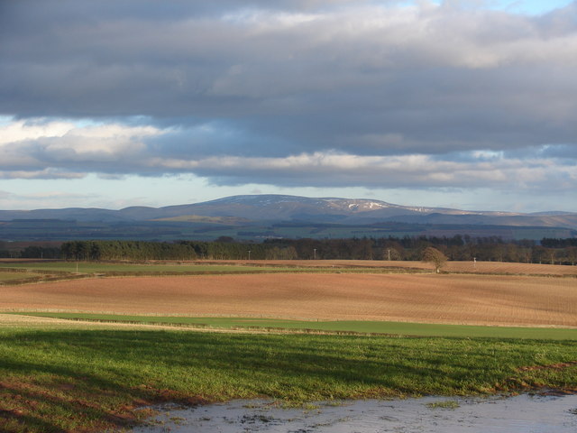
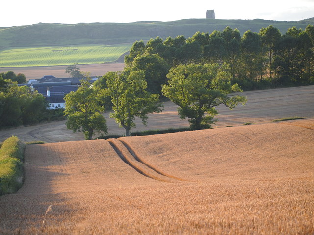
Charterhouse Wood is a captivating forested area located in Roxburghshire, Scotland. Spanning across an impressive expanse of land, this wood is renowned for its natural beauty and rich biodiversity. The forest is nestled amidst the rolling hills and picturesque landscapes of Roxburghshire, providing a serene and tranquil environment for visitors.

The woodland is predominantly composed of native tree species, including oak, ash, and beech. Towering trees create a dense canopy, allowing only dappled sunlight to filter through to the forest floor. This creates a unique and enchanting atmosphere, perfect for exploration and discovery.

Walking through Charterhouse Wood, visitors are treated to a symphony of sounds from the diverse wildlife that calls this forest home. The melodious songs of birds, such as the thrush and the blackbird, fill the air, while the rustling of leaves underfoot is occasionally interrupted by the scurrying of small mammals, like squirrels and voles.

The forest also boasts a variety of plant life that thrives in its fertile soil. Wildflowers, ferns, and mosses carpet the forest floor, creating a vibrant tapestry of colors and textures. In spring, the woodland is adorned with a breathtaking display of bluebells, transforming the forest into a magical wonderland.

Charterhouse Wood offers an array of walking trails, allowing visitors to fully immerse themselves in its natural splendor. The paths wind through the forest, providing glimpses of breathtaking vistas and hidden treasures along the way. Whether it's a peaceful stroll or an adventurous hike, the wood caters to all levels of outdoor enthusiasts.

Overall, Charterhouse Wood is a captivating forested area that showcases the natural beauty and biodiversity of Roxburghshire. With its diverse flora and fauna, picturesque landscapes, and tranquil ambiance, it is a must-visit destination for nature lovers and those seeking a peaceful retreat.

If you have any feedback on the listing, please let us know in the comments section below.

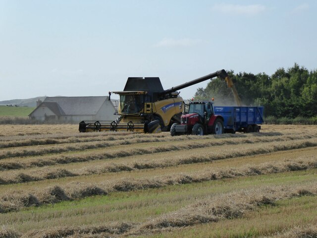
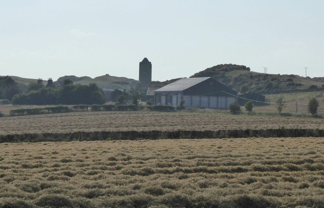
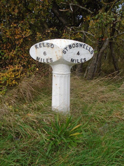
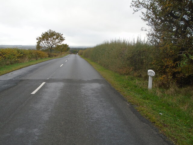
Charterhouse Wood Images

Images are sourced within 2km of 55.602963/-2.5349277 or Grid Reference NT6634. Thanks to Geograph Open Source API. All images are credited.

The last strip of cereal to be combine harvested With Miens Neuk in the background.
The field now awaits the baler!
The last strip of cereal to be combine harvested
With Miens Neuk in the background. The field now awaits the baler!
Fields waiting for the baler After combine harvesting.
Smailholm Tower in the background.
Fields waiting for the baler
After combine harvesting. Smailholm Tower in the background.
Charterhouse Wood A wide strip, recently felled and replanted.
Charterhouse Wood
A wide strip, recently felled and replanted.
A phone box at Makerstoun It appears to be used as the village library.
A phone box at Makerstoun
It appears to be used as the village library.
Makerstoun phone box The box is being used as a library.
Makerstoun phone box
The box is being used as a library.
A sundial at Makerstoun Parish Churchyard According to The Churches and Graveyards of Roxburghshire by G A C Binnie, the sundial and pedestal was gifted by General Sir Thomas Makdougall Brisbane, once Governor General of New South Wales.
A sundial at Makerstoun Parish Churchyard
According to The Churches and Graveyards of Roxburghshire by G A C Binnie, the sundial and pedestal was gifted by General Sir Thomas Makdougall Brisbane, once Governor General of New South Wales.
Old milepost Just 2 Smith Patterson mileposts remain on the 6 miles of B6404 from its junction with the B6397 west of Kelso and St Boswells.  This one near Fox Covert has been fairly recently painted.  When previously seen in 2013 it was very rusty.   This area of the Borders was in Roxburghshire before the 1970s.
Old milepost
Just 2 Smith Patterson mileposts remain on the 6 miles of B6404 from its junction with the B6397 west of Kelso and St Boswells. This one near Fox Covert has been fairly recently painted. When previously seen in 2013 it was very rusty. This area of the Borders was in Roxburghshire before the 1970s.
Old milepost Beyond the milepost the road to the south west drops down towards St Boswells and the River Tweed.
Old milepost
Beyond the milepost the road to the south west drops down towards St Boswells and the River Tweed.
Toward  Kelso  on  B6397.  Charter  Plantation  on  the  right
Toward Kelso on B6397. Charter Plantation on the right
Crossroads  on  a  high  point  131  Metres The road to Floors Castle and Kelso is straight on, descending steadily into the Tweed Valley
Crossroads on a high point 131 Metres
The road to Floors Castle and Kelso is straight on, descending steadily into the Tweed Valley
Charterhouse Wood Felled and replanted.
Charterhouse Wood
Felled and replanted.
Watson's Plantation
Watson's Plantation
The view from Sandyknowe The view from close to Sandyknowe Farm, looking across to The Cheviot.
The view from Sandyknowe
The view from close to Sandyknowe Farm, looking across to The Cheviot.
A milepost by the B6404 It shows 6 miles to Kelso and 4 miles to St Boswells.
A milepost by the B6404
It shows 6 miles to Kelso and 4 miles to St Boswells.
Approaching harvest Providing some good weather prevails at Mainberry in Roxburghshire.
Approaching harvest
Providing some good weather prevails at Mainberry in Roxburghshire.
The Old Threshing Mill, Millfield View towards Old Threshing Mill with Smailholm Tower on horizon.
The Old Threshing Mill, Millfield
View towards Old Threshing Mill with Smailholm Tower on horizon.
B6397 heading towards Kelso
Stubble fields near Charterhouse These arable fields were viewed from the B6404. A large number of geese have landed in the foreground field to forage in the stubble.
Stubble fields near Charterhouse
These arable fields were viewed from the B6404. A large number of geese have landed in the foreground field to forage in the stubble.
Show me another place!

Charterhouse Wood is located at Grid Ref: NT6634 (Lat: 55.602963, Lng: -2.5349277)

Unitary Authority: The Scottish Borders

Police Authority: The Lothians and Scottish Borders

What 3 Words

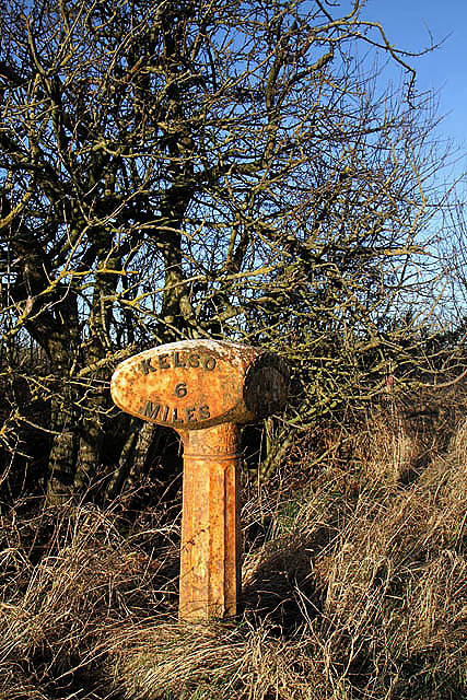
///octopus.inflame.liquid. Near Kelso, Scottish Borders

Nearby Locations

Charterhouse Wood

Related Wikis

Makerstoun

Makerstoun is a parish in the Scottish Borders area of Scotland, as well as the historic county of Roxburghshire, 4 miles (6 km) south-west of Kelso.The...

Smailholm

Smailholm (Scots: Smailhowm) is a small village in the historic county of Roxburghshire in south-east Scotland. It is at grid reference NT648364 and straddles...

Smailholm Tower

Smailholm Tower is a peel tower at Smailholm, around five miles (8 km) west of Kelso in the Scottish Borders. Its dramatic situation, atop a crag of Lady...

Nenthorn

Nenthorn is a parish and hamlet in the south of the historic county of Berwickshire in the Scottish Borders area of Scotland. It is included in the Floors...

Borders Abbeys Way

The Borders Abbeys Way is a long-distance footpath in the Scottish Borders area of Scotland. It is a circular walkway and is 109 kilometres (68 mi) in...

Rutherford railway station

Rutherford railway station served the parish of Maxton, Roxburghshire, Scotland from 1851 to 1964 on the Kelso Line. == History == The station opened in...
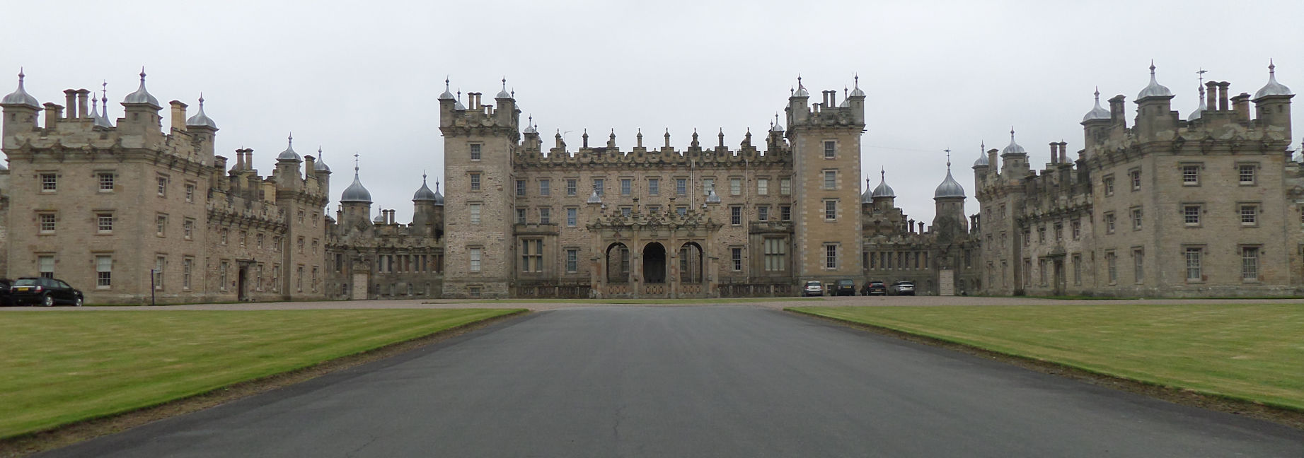
Floors Castle

Floors Castle, in Roxburghshire, south-east Scotland, is the seat of the Duke of Roxburghe. Despite its name it is an estate house rather than a fortress...
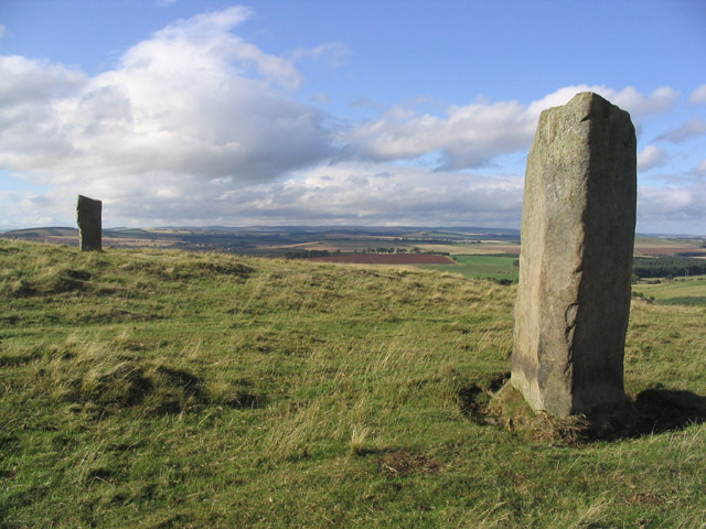
Brotherstone Hill

Brotherstone Hill is a hill near St. Boswells and the Eildon Hills in the Scottish Borders area of Scotland, with two standing stones from the megalithic...

Nearby Amenities

Located within 500m of 55.602963,-2.5349277
Power: pole
Lat/Long: 55.600931/-2.5392316
Power: pole
Lat/Long: 55.6010055/-2.5393344
Power: pole
Lat/Long: 55.603357/-2.5282851
Power: pole
Lat/Long: 55.6029903/-2.529822
Power: pole
Lat/Long: 55.6026509/-2.5313777
Power: pole
Lat/Long: 55.6023054/-2.5329468
Power: pole
Lat/Long: 55.6019781/-2.5343978
Power: pole
Lat/Long: 55.6013189/-2.5373858
Power: pole
Lat/Long: 55.6009613/-2.5402384
Power: pole
Lat/Long: 55.6009128/-2.5415955
The data included in this document is from www.openstreetmap.org. The data is made available under ODbL.

Have you been to Charterhouse Wood?

Leave your review of Charterhouse Wood below (or comments, questions and feedback).