Well Wood

Wood, Forest in Berwickshire

Scotland

Well Wood

Log pile near Wedderlie One of several in the area.
Log pile near Wedderlie Credit: M J Richardson

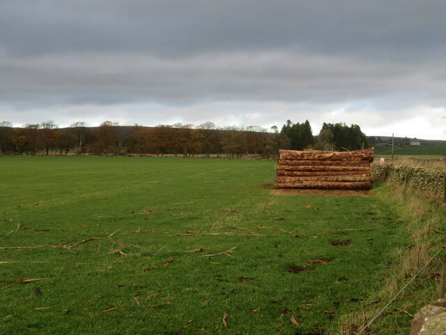
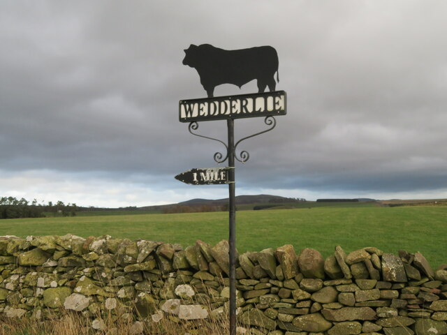
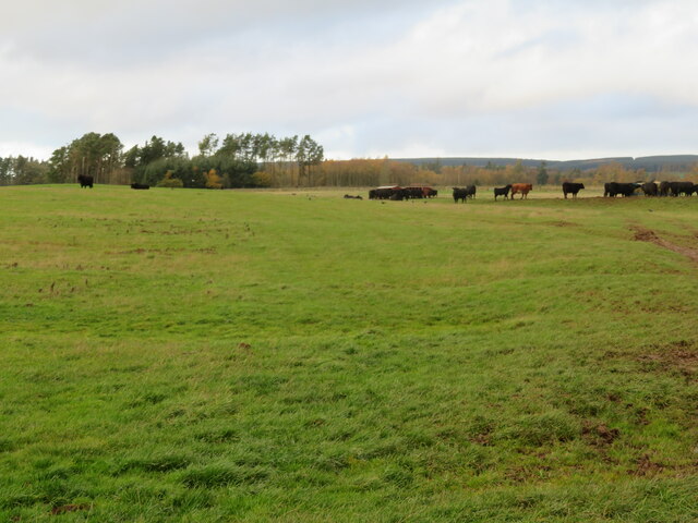
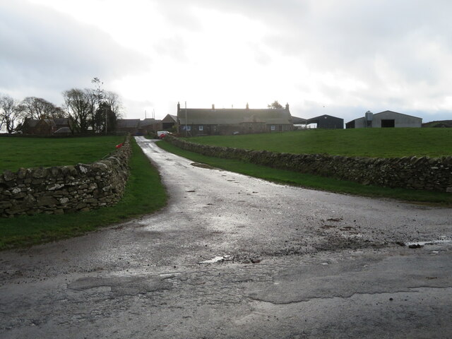
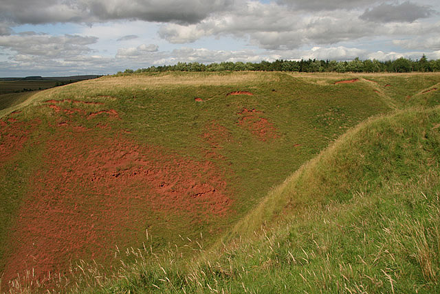
Well Wood is a picturesque forest located in the county of Berwickshire, Scotland. Covering an area of approximately 100 acres, it offers visitors a serene and tranquil environment to explore and enjoy the beauty of nature. The wood is situated near the village of Well, which adds to its charm and accessibility.

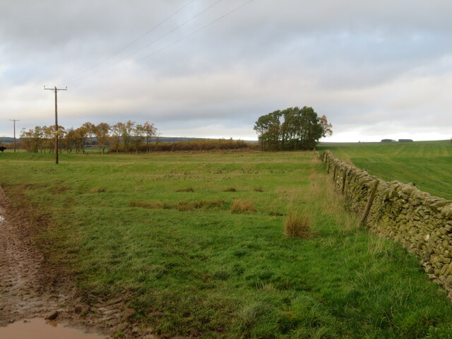
The woodland is characterized by a diverse range of tree species, including oak, beech, birch, and conifers. These towering trees create a dense canopy, providing shade and shelter to the various flora and fauna that call the wood their home. The forest floor is carpeted with a vibrant array of wildflowers, creating a picturesque backdrop for nature enthusiasts and photographers.

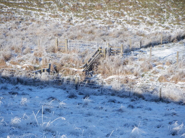
Well Wood is a popular destination for outdoor activities such as hiking, walking, and birdwatching. The well-maintained trails winding through the forest offer visitors the opportunity to explore its hidden gems, including a small stream and a peaceful pond. The wood is also home to a rich variety of bird species, making it a haven for birdwatchers.

The management of Well Wood focuses on preserving its natural beauty and promoting biodiversity. It is a designated Site of Special Scientific Interest (SSSI), highlighting its ecological significance. Conservation efforts are in place to protect rare and endangered species, ensuring the long-term sustainability of the woodland ecosystem.

In conclusion, Well Wood is a stunning forest in Berwickshire, Scotland, offering visitors a chance to immerse themselves in nature. Its diverse range of trees, vibrant wildflowers, and abundant birdlife make it a must-visit destination for nature lovers and outdoor enthusiasts alike.

If you have any feedback on the listing, please let us know in the comments section below.
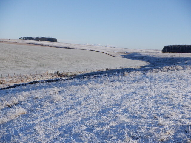
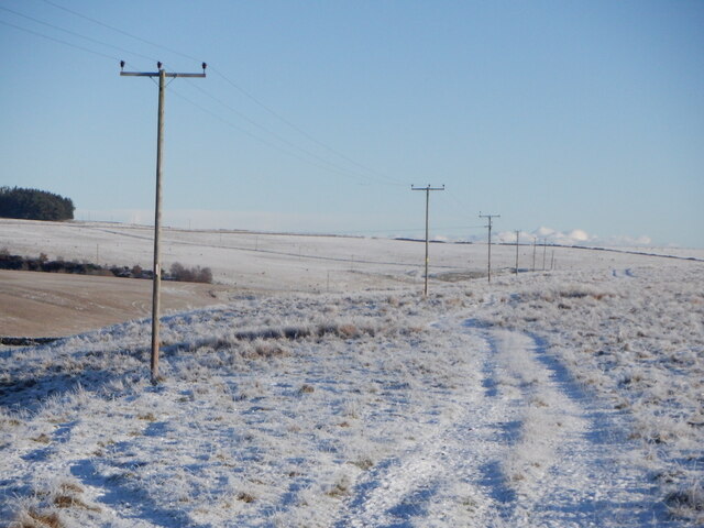
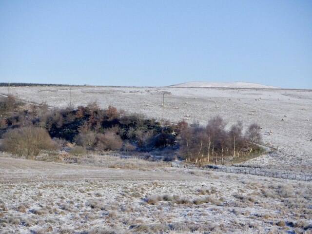
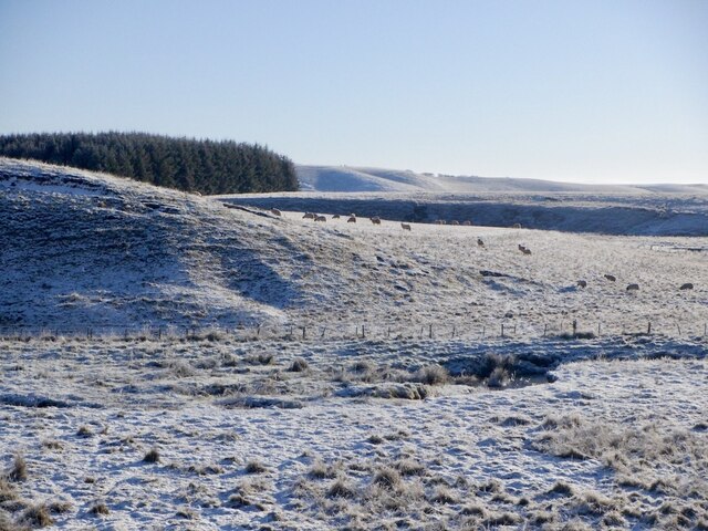
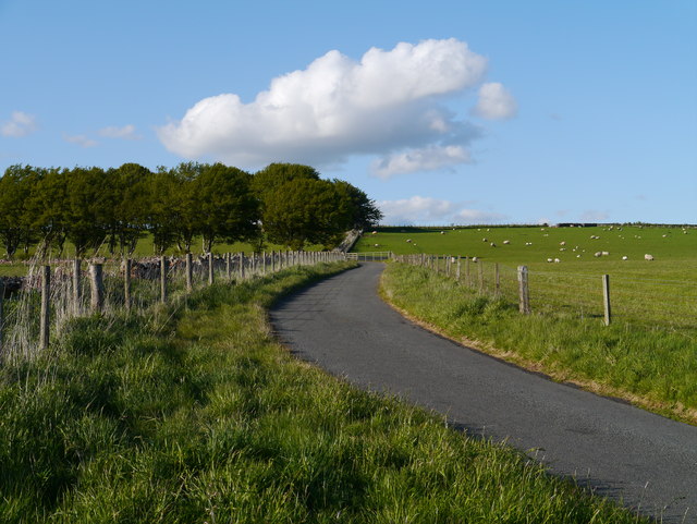
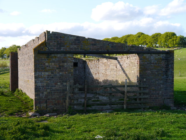
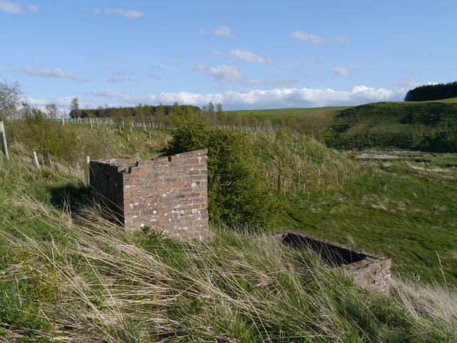
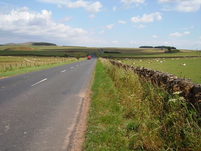
Well Wood Images

Images are sourced within 2km of 55.737283/-2.5373375 or Grid Reference NT6649. Thanks to Geograph Open Source API. All images are credited.

Log pile near Wedderlie One of several in the area.
Log pile near Wedderlie
One of several in the area.
Wedderlie farm sign With a fine black bull. The house is also a wedding venue.
Wedderlie farm sign
With a fine black bull. The house is also a wedding venue.
Good advice to sat. nav. dependants Sign at the junction of the road to Wedderlie farm with the B6456.
Good advice to sat. nav. dependants
Sign at the junction of the road to Wedderlie farm with the B6456.
Fields at Cammerlaws North of the B6456 and east of Westruther.
Fields at Cammerlaws
North of the B6456 and east of Westruther.
Grazing cattle at Cammerlaws With woodland beyond, mainly Birch.
Grazing cattle at Cammerlaws
With woodland beyond, mainly Birch.
Road to Cammerlaws farm A farm in the Lammermuir foothills, off the B6456.
Road to Cammerlaws farm
A farm in the Lammermuir foothills, off the B6456.
Farmland near Westruther Stubble north of the burn, rime covered rough grazing in the foreground.
Farmland near Westruther
Stubble north of the burn, rime covered rough grazing in the foreground.
Burn near Westruther As usual, not named by the Ordnance Survey, a headwater of the Blackadder Water. Along with the electric fences, quite a barrier.
Burn near Westruther
As usual, not named by the Ordnance Survey, a headwater of the Blackadder Water. Along with the electric fences, quite a barrier.
Fields near Cammerlaws
Power line on Harelaw Moor
Woodland, Hurdlaw
Woodland, Hurdlaw
Blackadder Water
Blackadder Water
Approach To A Beech-lined Avenue No doubt helpful in keeping snow off the road in winter to some extent, this Beech-lined approach to Halliburton Farm (off to the left of shot) is in full leaf.
Approach To A Beech-lined Avenue
No doubt helpful in keeping snow off the road in winter to some extent, this Beech-lined approach to Halliburton Farm (off to the left of shot) is in full leaf.
Remains Of A Pumping Station As yet I have been unable to find any information on this building, other than it was present in mapping as far back as 1965.  My theory is that it was a pumping station for water abstracted from the upper reaches of the Blackadder Water, a few hundred metres to the west.  To the right of this building, in the middle of a field, are the remains of a small brick structure.  There are also other structures on the slope overlooking the floodplain of the Blackadder Water, to the west.
Remains Of A Pumping Station
As yet I have been unable to find any information on this building, other than it was present in mapping as far back as 1965. My theory is that it was a pumping station for water abstracted from the upper reaches of the Blackadder Water, a few hundred metres to the west. To the right of this building, in the middle of a field, are the remains of a small brick structure. There are also other structures on the slope overlooking the floodplain of the Blackadder Water, to the west.
Structures Overlooking The Blackadder Water Two small structures adjacent to the presumed remains of a pumping station near Halliburton Farm.  The Blackadder Water floodplain can be noted to the right of the image.
Structures Overlooking The Blackadder Water
Two small structures adjacent to the presumed remains of a pumping station near Halliburton Farm. The Blackadder Water floodplain can be noted to the right of the image.
The Western End Of Long Kaim The extreme western end of the Bedshiel Kaims is a rather unimpressive mound.
The Western End Of Long Kaim
The extreme western end of the Bedshiel Kaims is a rather unimpressive mound.
Open road The B6456 runs from near Lauder to Duns along the southern slopes of the Lammermuir Hills. Must be very vulnerable to winter closures. Post van about to visit Cammerlaws
Open road
The B6456 runs from near Lauder to Duns along the southern slopes of the Lammermuir Hills. Must be very vulnerable to winter closures. Post van about to visit Cammerlaws
Hurdlaw Old farm, now just a byre and house, amongst grassland south of the Lammermuir Hills.
Hurdlaw
Old farm, now just a byre and house, amongst grassland south of the Lammermuir Hills.
Show me another place!

Well Wood is located at Grid Ref: NT6649 (Lat: 55.737283, Lng: -2.5373375)

Unitary Authority: The Scottish Borders

Police Authority: The Lothians and Scottish Borders

What 3 Words

///parks.sneezing.useful. Near Duns, Scottish Borders

Nearby Locations

Well Wood Todlaw Wood

Related Wikis

Blackadder Water

Blackadder Water () is a river in Berwickshire in the Scottish Borders area of Scotland, forming part of the River Tweed system. It reached 2.84m at Mouthbridge...

Greenlaw Moor

Greenlaw Moor is an area of raised heather moorland in the foothills of the Lammermuir Hills, in the Scottish Borders area of Scotland. Located north of...

Bedshiel

Bedshiel is a village in the Scottish Borders area of Scotland on the B6456, six miles from Duns, two miles from Greenlaw, Longformacus and Westruther...

Berwickshire

Berwickshire (; Scottish Gaelic: Siorrachd Bhearaig) is a historic county, registration county and lieutenancy area in south-eastern Scotland, on the English...

Westruther

Westruther is a village on the B6465, in the Scottish Borders area of Scotland, on the lower slopes of the Lammermuir Hills, in the former Berwickshire...

Blackcastle Rings

The Blackcastle Rings are earthworks and a promontory fort in the Parish of Greenlaw, above the left bank of the Blackadder Water, in the Scottish Borders...

Houndslow

Houndslow is a hamlet in the Scottish Borders area of Scotland. It is situated on the A697, about 5 miles (8.0 km) west of Greenlaw, and 3 miles (4.8 km...

Bassendean, Scottish Borders

Bassendean is a village in the Scottish Borders area of Scotland, 4 kilometres (2.5 mi) south of Westruther and 3 kilometres (1.9 mi) north-west of Gordon...

Have you been to Well Wood?

Leave your review of Well Wood below (or comments, questions and feedback).