Bruce Dam Wood
Wood, Forest in Angus
Scotland
Bruce Dam Wood
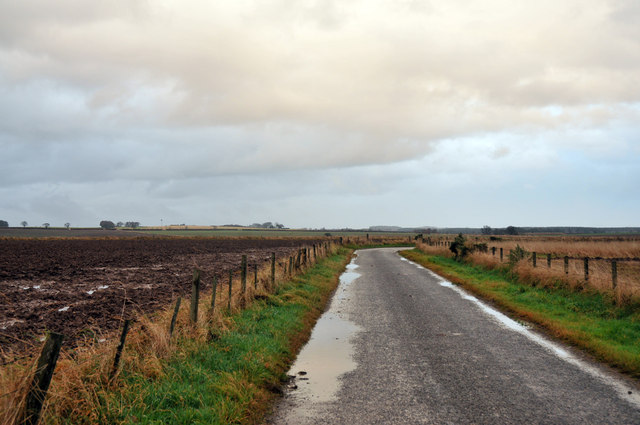
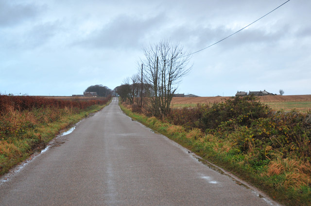
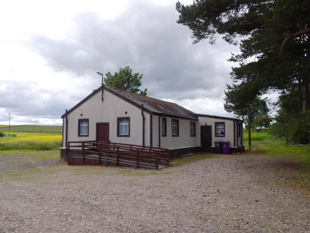
Bruce Dam Wood, located in Angus, Scotland, is a picturesque forest area renowned for its natural beauty and diverse ecosystem. Spanning an area of approximately 500 acres, it is a popular destination for nature enthusiasts, hikers, and bird watchers alike.
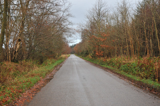
The forest is characterized by its dense, mature woodland, primarily composed of native tree species such as oak, birch, and pine. These towering trees create a serene and tranquil atmosphere, providing ample shade and shelter for a variety of wildlife species.
The diverse ecosystem within Bruce Dam Wood supports a rich array of flora and fauna. Visitors may encounter a wide range of bird species, including the elusive capercaillie, as well as woodpeckers, owls, and various songbirds. Red squirrels are a common sight, effortlessly navigating the treetops, while deer can occasionally be spotted grazing in the quieter areas of the forest.
The forest is crisscrossed with a network of well-maintained trails, making it easily accessible for visitors of all ages and abilities. These paths wind through the woodland, offering stunning views of the surrounding countryside, as well as opportunities to discover hidden waterfalls and meandering streams.
Bruce Dam Wood also has several designated picnic areas and rest spots, perfect for visitors to take a break and enjoy a packed lunch amidst the natural splendor. The forest is managed by the local authorities, ensuring that it remains a haven for wildlife and a cherished recreational space for all who visit.
If you have any feedback on the listing, please let us know in the comments section below.
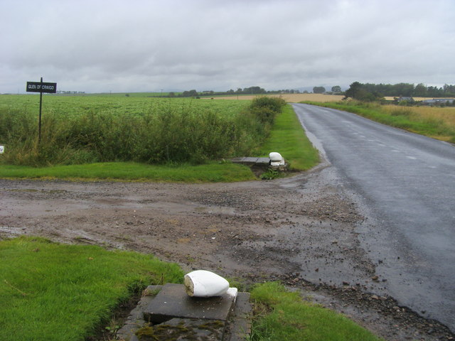
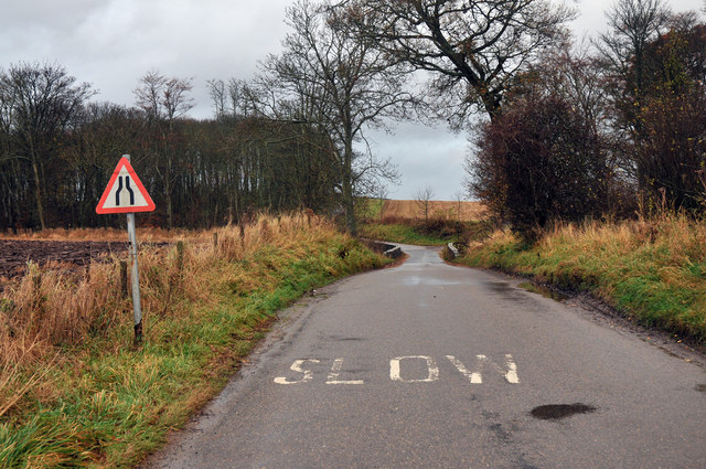
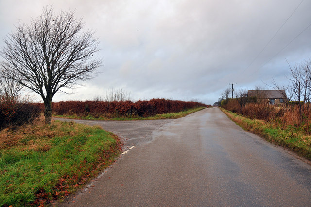
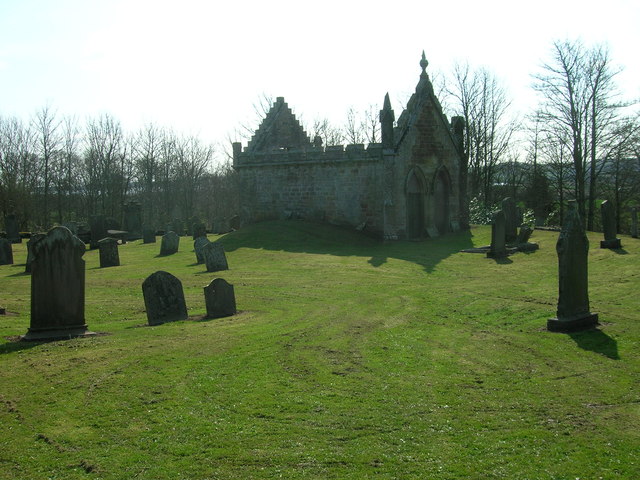
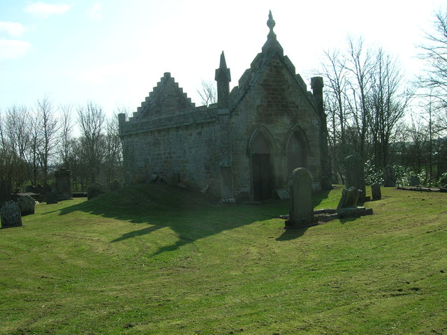
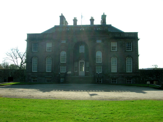
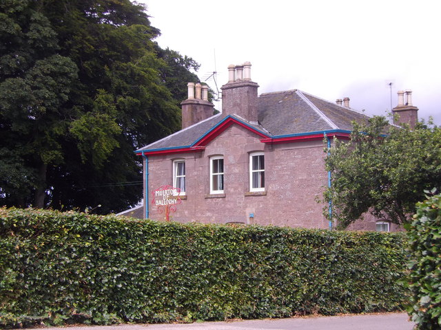
Bruce Dam Wood Images
Images are sourced within 2km of 56.74333/-2.5515693 or Grid Reference NO6661. Thanks to Geograph Open Source API. All images are credited.

Bruce Dam Wood is located at Grid Ref: NO6661 (Lat: 56.74333, Lng: -2.5515693)
Unitary Authority: Angus
Police Authority: Tayside
What 3 Words
///rooster.dizziness.upsetting. Near Hillside, Angus
Nearby Locations
Related Wikis

Dun, Angus
Dun is a rural parish in Angus, Scotland. It contains the House of Dun, home of the Erskine family and is a stop on the Caledonian Railway. It is located...
House of Dun
The House of Dun is a National Trust for Scotland property in the parish of Dun, lying close to the edge of Montrose Basin and situated approximately halfway...

Bridge of Dun railway station
Bridge of Dun is a privately owned station in Angus. The adjacent platforms and line are independently operated as a preserved railway by the Caledonian...

Bridge of Dun
Bridge of Dun is a village in Angus, Scotland, located north of the River South Esk and south of the A935 road from Brechin to Montrose. == History... ==
Dubton railway station
Dubton railway station (also known as Dubton Junction railway station) served the village of Hillside, Scotland and the nearby hamlet of Dubton, after...

Craigo railway station
Craigo railway station served the village of Craigo, Angus, Scotland from 1851 to 1956 on the Aberdeen Railway. == History == The station opened in 1851...
Craigo
Craigo is a village in Angus, Scotland. It lies about 5 miles (8.0 km) northwest of Montrose, and 1 mile (1.6 km) south of Marykirk, which is across the...

Hillside, Angus
Hillside is a village in Angus, Scotland, situated 1 mile to the north of Montrose. The village is the location for the now disused psychiatric hospital...
Nearby Amenities
Located within 500m of 56.74333,-2.5515693Have you been to Bruce Dam Wood?
Leave your review of Bruce Dam Wood below (or comments, questions and feedback).