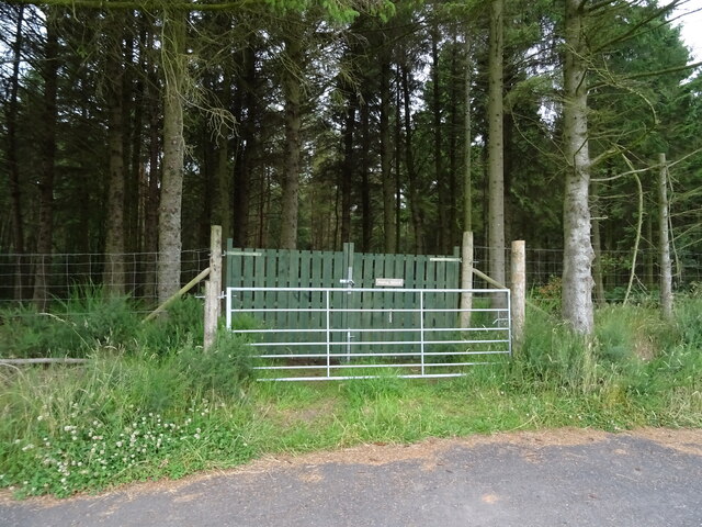
Woodside Plantation

Wood, Forest in Kincardineshire

Scotland

Woodside Plantation

Brigton cottages Lane by Brigton cottages
Brigton cottages Credit: Shaun Ferguson

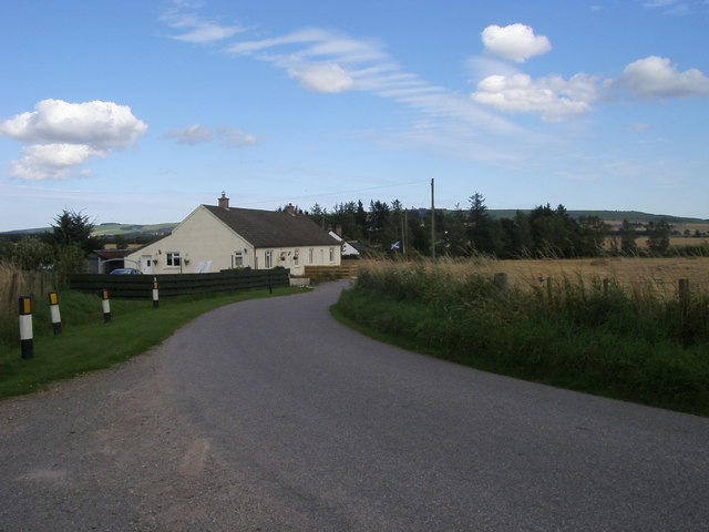
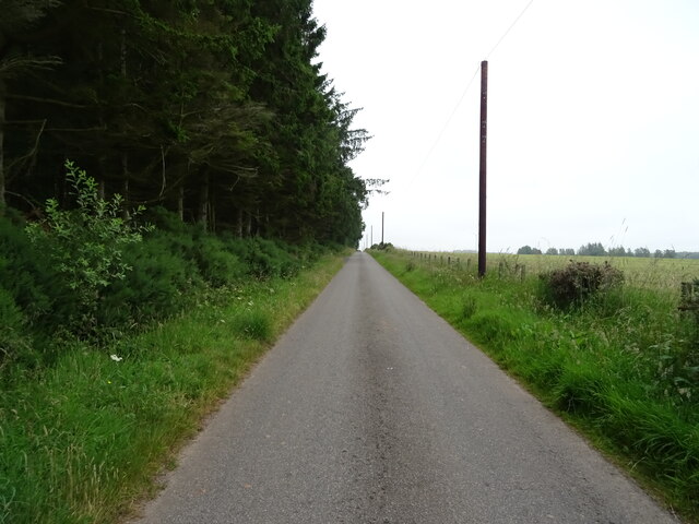
Woodside Plantation is a picturesque woodland area located in Kincardineshire, Scotland. Spanning over several acres, this enchanting forest is known for its dense and diverse collection of trees, making it a haven for nature lovers and outdoor enthusiasts alike.

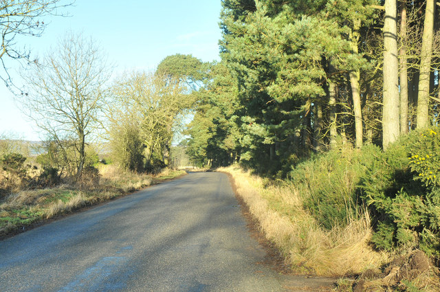
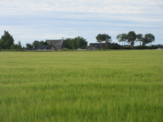
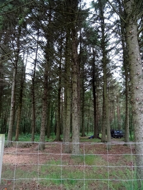
The plantation boasts a wide variety of tree species, including oak, beech, pine, and birch, among others. These towering giants create a lush canopy, providing shade and shelter for an array of wildlife. Visitors can expect to encounter a rich tapestry of flora and fauna, including rare and protected species.

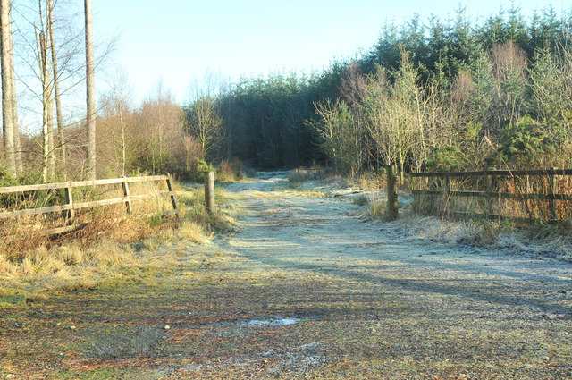
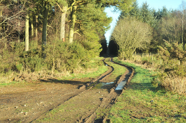
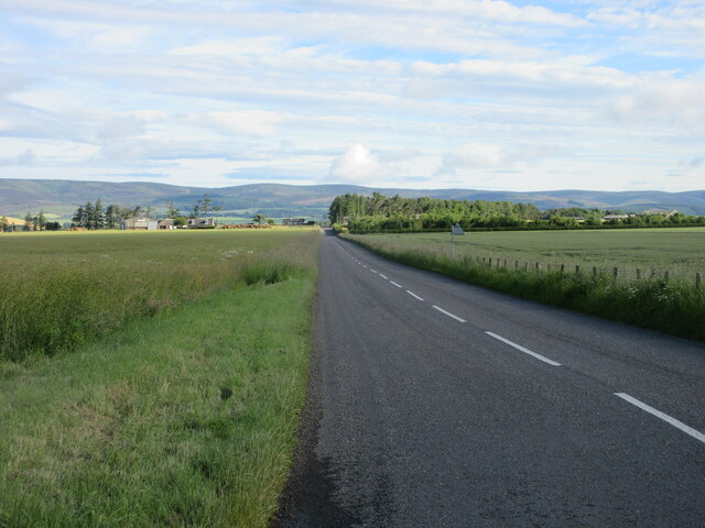
Woodside Plantation offers a network of well-maintained trails that wind through the forest, providing an opportunity for visitors to explore this natural wonderland on foot. The paths are ideal for leisurely strolls or more vigorous hikes, catering to individuals of all fitness levels. Along the way, hikers may stumble upon babbling brooks, tranquil ponds, and even hidden waterfalls, adding to the charm and serenity of the experience.

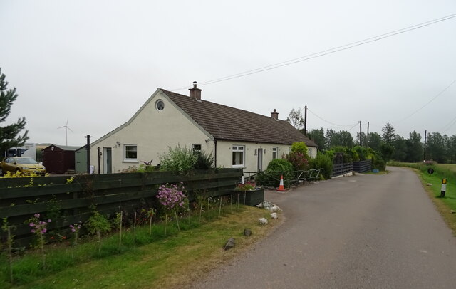
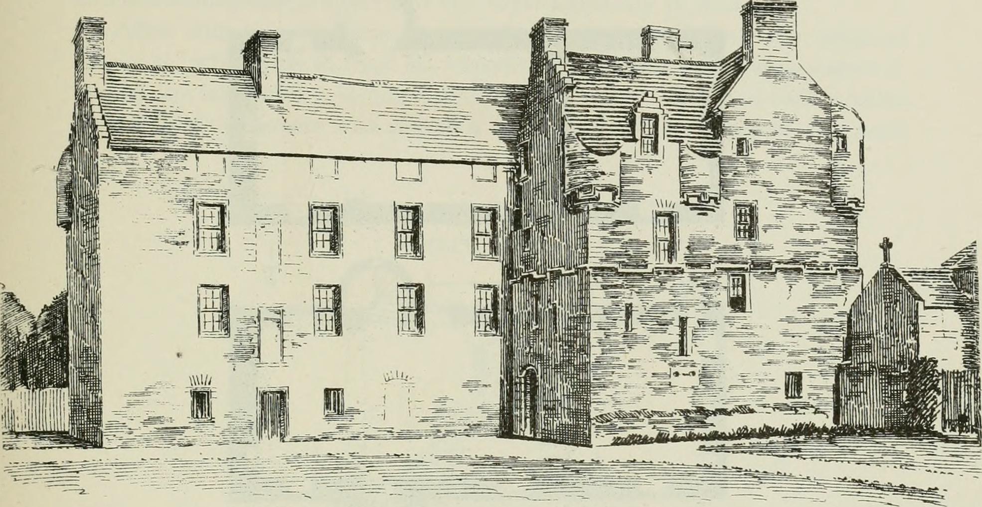
In addition to its natural beauty, Woodside Plantation also holds historical significance. The area has been carefully managed for centuries, with evidence of human habitation dating back to ancient times. Ruins of old structures, such as a forgotten mill or crumbling stone walls, can still be found scattered throughout the woodland, serving as a reminder of the area's past.

Overall, Woodside Plantation in Kincardineshire offers a captivating blend of natural splendor and historical intrigue. Whether one seeks solace in the peaceful surroundings or wishes to embark on an adventure through the forest, this woodland sanctuary is a must-visit destination for anyone seeking to immerse themselves in Scotland's natural beauty.

If you have any feedback on the listing, please let us know in the comments section below.

Woodside Plantation Images

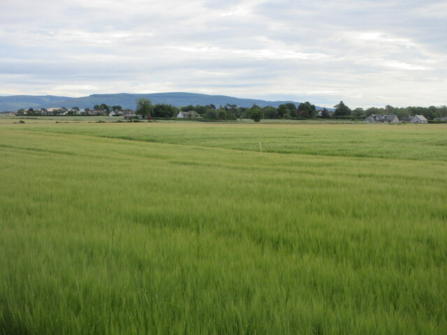
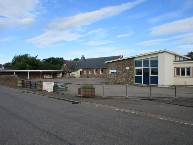
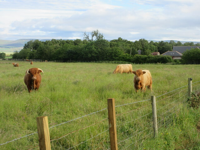
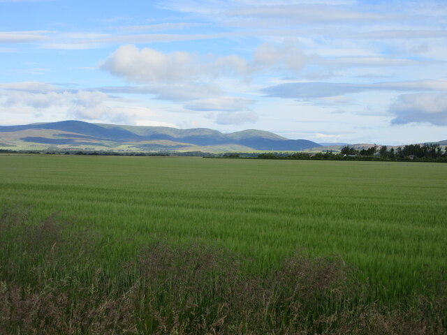
Images are sourced within 2km of 56.814573/-2.5551057 or Grid Reference NO6669. Thanks to Geograph Open Source API. All images are credited.

Brigton cottages Lane by Brigton cottages
Brigton cottages
Lane by Brigton cottages
Track into Little Thornton Wood
B974 past Lady Jane's Plantation
Track into Lady Jane's Plantation
Barley field south of Luthermuir Looking north-eastwards over a field of barley, with Luthermuir in the distance.
Barley field south of Luthermuir
Looking north-eastwards over a field of barley, with Luthermuir in the distance.
Luthermuir Primary School Luthermuir Primary School from the roadside at the eastern end of the village.
Luthermuir Primary School
Luthermuir Primary School from the roadside at the eastern end of the village.
Cattle near Sauchieburn Cattle next to the B974 just south of Sauchieburn.
Cattle near Sauchieburn
Cattle next to the B974 just south of Sauchieburn.
Barley field north of Luthermuir Vast field of barley to the north of Luthermuir, with the Hill of Wirren in the distance to the north-west.
Barley field north of Luthermuir
Vast field of barley to the north of Luthermuir, with the Hill of Wirren in the distance to the north-west.
Barley field at Luthermuir Looking south towards Luthermuir over a field of barley.
Barley field at Luthermuir
Looking south towards Luthermuir over a field of barley.
C6K (Aberdeenshire) Road heading north The C6K road heading northwards at Primrosehill towards Fettercairn.
C6K (Aberdeenshire) Road heading north
The C6K road heading northwards at Primrosehill towards Fettercairn.
Gated track into Pitgarvie Wood
Pitgarvie Wood
Pitgarvie Wood
Landends beside Pitgarvie Wood Towards Brigton.
Landends beside Pitgarvie Wood
Towards Brigton.
Dowrieburn Cottages
Dowrieburn Cottages
Brigton Cottage On a bend in the minor road through Brigton.
Brigton Cottage
On a bend in the minor road through Brigton.
Minor road from Brigton towards Thornton
Signpost showing the layout of the B974 junction Viewed from the southbound travel lane of the A90, the motorist can view the layout of the next junction.
Signpost showing the layout of the B974 junction
Viewed from the southbound travel lane of the A90, the motorist can view the layout of the next junction.
B974 heading across the bridge of Luther Water B974 heading across the Caldhame bridge of Luther Water towards the A90
B974 heading across the bridge of Luther Water
B974 heading across the Caldhame bridge of Luther Water towards the A90
Show me another place!

Woodside Plantation is located at Grid Ref: NO6669 (Lat: 56.814573, Lng: -2.5551057)

Unitary Authority: Aberdeenshire

Police Authority: North East

What 3 Words

///shackles.identify.diggers. Near Laurencekirk, Aberdeenshire

Related Wikis

Luthermuir

Luthermuir is a village in Aberdeenshire, Scotland, UK. Historically the village was home to weavers and labourers. == Facilities == Luthermuir is home...

RAF Edzell

Royal Air Force Edzell or more simply RAF Edzell is a former Royal Air Force satellite station located in Aberdeenshire, one mile east of Edzell in Angus...

Inglismaldie Castle

Inglismaldie Castle is a castle in the parish of Marykirk and the county of Kincardineshire, Scotland. == History == The Tower House was built in 1636...

Luther Water

Luther Water is a generally southerly flowing river in Aberdeenshire, Scotland that discharges into the River North Esk. == Course == The watercourse rises...

Nearby Amenities

Located within 500m of 56.814573,-2.5551057
Power: pole
Lat/Long: 56.812048/-2.548851
Power: pole
Lat/Long: 56.8124739/-2.5497718
Power: pole
Lat/Long: 56.812886/-2.5506742
Power: pole
Lat/Long: 56.8126302/-2.5519587
Power: pole
Lat/Long: 56.8123492/-2.5533836
Power: pole
Lat/Long: 56.812106/-2.5546428
Power: pole
Lat/Long: 56.8125004/-2.5555567
Power: pole
Lat/Long: 56.8129074/-2.5564706
Power: pole
Lat/Long: 56.8132489/-2.5572579
Power: pole
Lat/Long: 56.8136269/-2.5581074
Power: pole
Lat/Long: 56.8140074/-2.5591018
Power: pole
Lat/Long: 56.8143161/-2.5599329
Power: pole
Lat/Long: 56.8145958/-2.5611138
Power: pole
Lat/Long: 56.8149045/-2.5626262
Power: pole
Lat/Long: 56.8186497/-2.5526424
Power: pole
Lat/Long: 56.8180412/-2.5534343
Power: pole
Lat/Long: 56.8174578/-2.5542031
Power: pole
Lat/Long: 56.8168921/-2.5549444
Power: pole
Lat/Long: 56.8163554/-2.5556488
Power: pole
Lat/Long: 56.8158829/-2.5562473
Power: pole
Lat/Long: 56.8154186/-2.5568804
Power: pole
Lat/Long: 56.8147861/-2.5577183
Power: pole
Lat/Long: 56.8142632/-2.5584204
Power: pole
Lat/Long: 56.8136439/-2.5601481
Power: pole
Lat/Long: 56.8131852/-2.5614418
Power: pole
Lat/Long: 56.8128374/-2.5624478
The data included in this document is from www.openstreetmap.org. The data is made available under ODbL.

Have you been to Woodside Plantation?

Leave your review of Woodside Plantation below (or comments, questions and feedback).