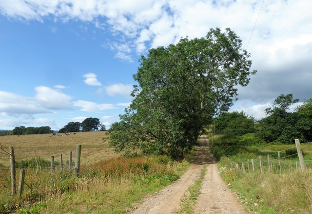
Blairhead Wood

Wood, Forest in Aberdeenshire

Scotland

Blairhead Wood
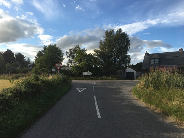
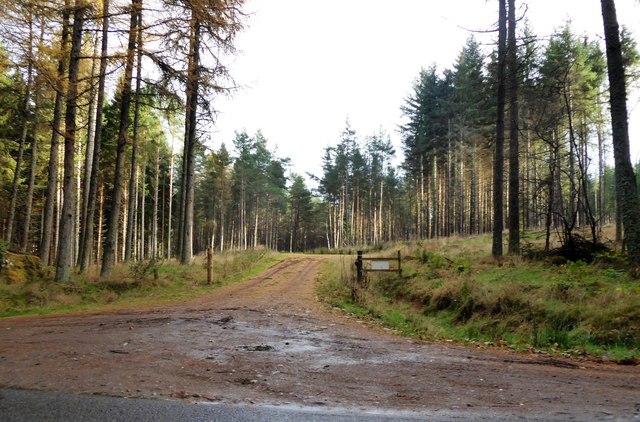
Road junction near Milton of Campfield
Road junction near Milton of Campfield Credit: Steven Brown

The requested URL returned error: 429 Too Many Requests

If you have any feedback on the listing, please let us know in the comments section below.

Blairhead Wood Images

Images are sourced within 2km of 57.105086/-2.5636531 or Grid Reference NJ6501. Thanks to Geograph Open Source API. All images are credited.

Road junction near Milton of Campfield
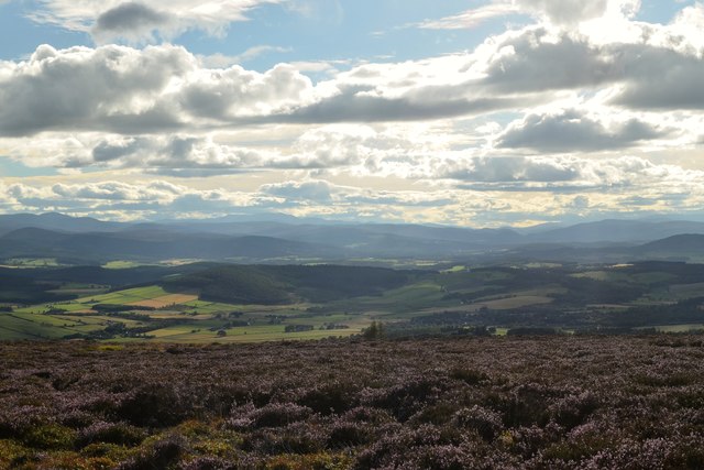
Royal Deeside from Hill of Fare View of Royal Deeside (the Dee valley) from the Hill of Fare
Royal Deeside from Hill of Fare
View of Royal Deeside (the Dee valley) from the Hill of Fare
A 'woodland ride' into Kynoch Plantation Off minor road between Campfield and Glassel.
A 'woodland ride' into Kynoch Plantation
Off minor road between Campfield and Glassel.
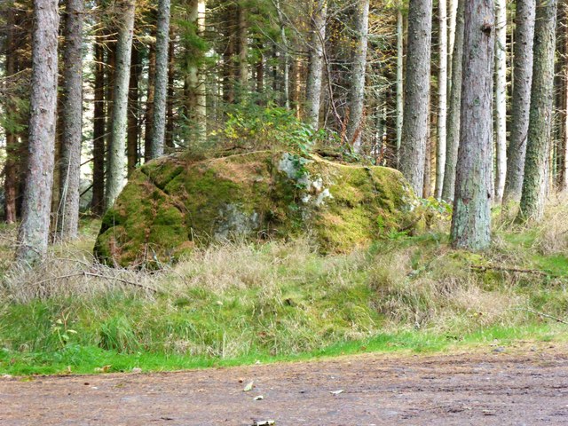
Bishop Stone (2017) In Kynoch Plantation; by minor road from Glassel to A980 at Campfield.
Bishop Stone (2017)
In Kynoch Plantation; by minor road from Glassel to A980 at Campfield.
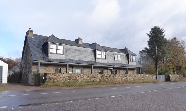
Mill o'Campfield cottage By A980; conjoined cottages at junction with minor road from Glassel.
Mill o'Campfield cottage
By A980; conjoined cottages at junction with minor road from Glassel.
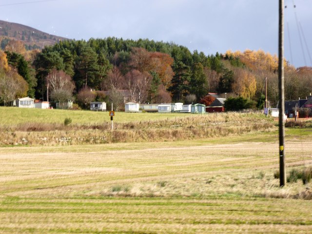
Woodend Caravan Park By A980; seen across a field from the minor road approaching Mill o'Campfield.
Woodend Caravan Park
By A980; seen across a field from the minor road approaching Mill o'Campfield.
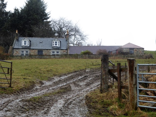
Ferretfold (early April 2018) A sleety day on the farm. (Contrast same farm in April 2007).
Ferretfold (early April 2018)
A sleety day on the farm. (Contrast same farm in April 2007).
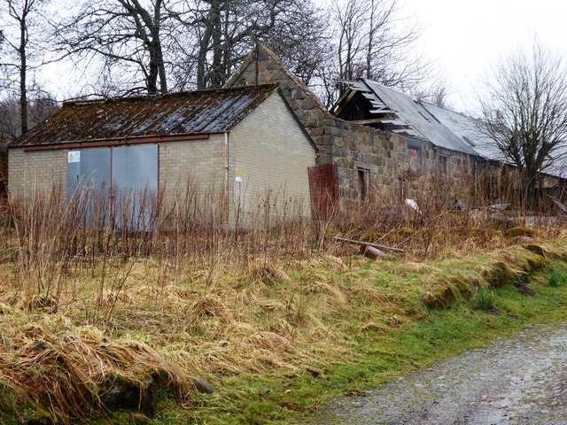
Outbuildings at Ferretfold The middle one 'sans roof'!
Outbuildings at Ferretfold
The middle one 'sans roof'!
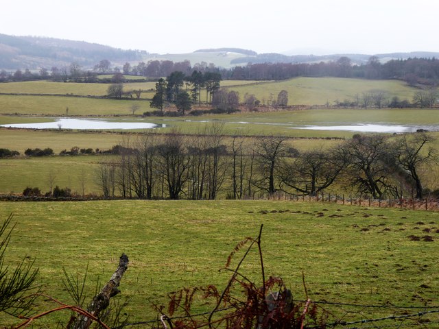
Snow-melt pools on flood-plain of Blacklinn Burn Many migrating grey geese flying around low in the vicinity, but not landing here.
Snow-melt pools on flood-plain of Blacklinn Burn
Many migrating grey geese flying around low in the vicinity, but not landing here.
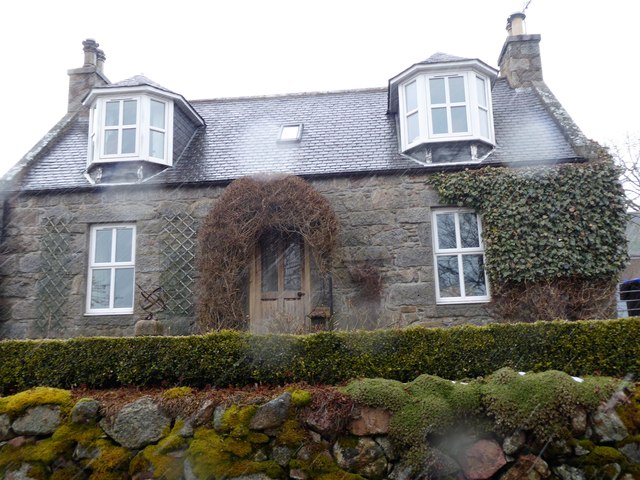
Birchfold A rural Cottage.
Birchfold
A rural Cottage.
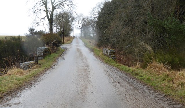
Bridge over a tributary of Blacklinn Burn Carrying a minor road from Wester Campfield  to Pitcullen. Junction to Fordie on left ahead.
Bridge over a tributary of Blacklinn Burn
Carrying a minor road from Wester Campfield to Pitcullen. Junction to Fordie on left ahead.
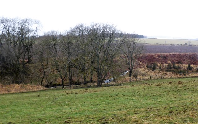
View west from a minor road Towards a bend in the Blacklinn Burn, and a copse at Fordie on the skyline beyond.
View west from a minor road
Towards a bend in the Blacklinn Burn, and a copse at Fordie on the skyline beyond.
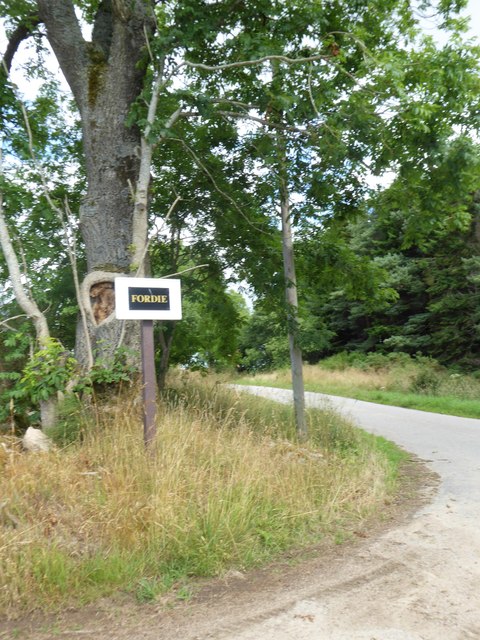
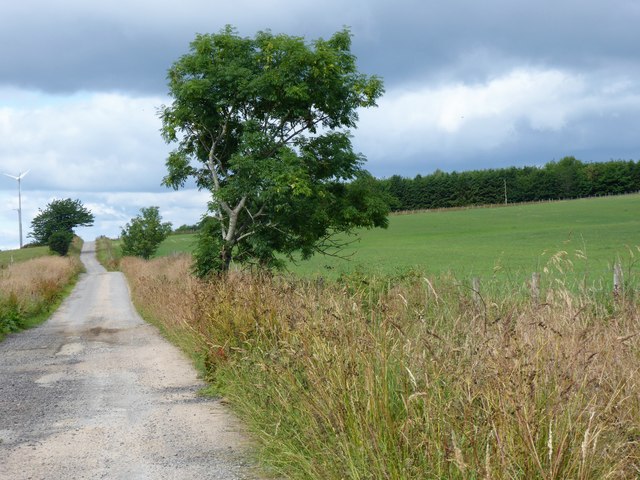
Fordie access junction off minor road
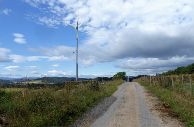
Access track to Fordie Farm Stepwise, up and over a ridge. Note the wind turbie at the track summit (far left).
Access track to Fordie Farm
Stepwise, up and over a ridge. Note the wind turbie at the track summit (far left).
Wind Turbine, Fordie By summit of track to Fordie Farm.
Wind Turbine, Fordie
By summit of track to Fordie Farm.
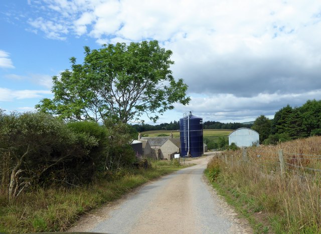
Descent to Fordie Farm Silo and barn ahead.
Descent to Fordie Farm
Silo and barn ahead.
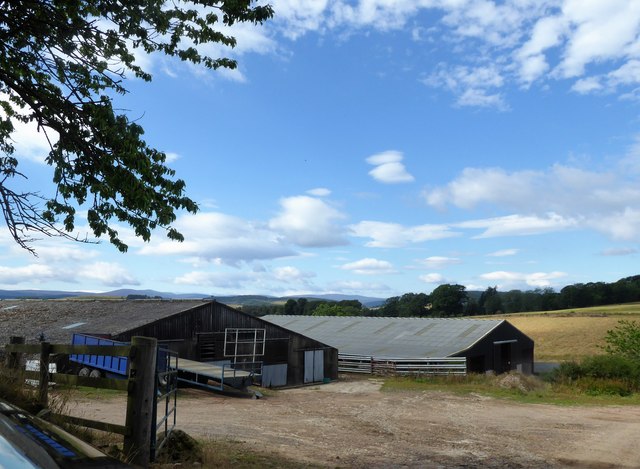
A pair of barns at Fordie
Farm track uphill from Thistleybrook burn Near Fordie Farm.
Farm track uphill from Thistleybrook burn
Near Fordie Farm.
Show me another place!

Blairhead Wood is located at Grid Ref: NJ6501 (Lat: 57.105086, Lng: -2.5636531)

Unitary Authority: Aberdeenshire

Police Authority: North East

What 3 Words

///scariest.universally.digits. Near Torphins, Aberdeenshire

Related Wikis

Hill of Fare

The Hill of Fare is a small hill in Aberdeenshire, Scotland. It is located about 5 km (3 miles) northeast of the village of Torphins. The hill is long...

Beltie Burn

The Beltie Burn is a burn in Aberdeenshire, Scotland, which below Torphins and Glassel is known as the Burn of Canny. It begins in the hill of Benaquhallie...

Glassel railway station

Glassel railway station is a disused railway station in Britain. It served Glassel House, the Mill of Beltie and the local farms and the inhabitants of...

Cluny Crichton Castle

Cluny Crichton Castle (also known as Clounie Crighton Castle) is a ruined 3-story tower house on the southern slopes of the Hill of Fare in Aberdeenshire...

Nearby Amenities

Located within 500m of 57.105086,-2.5636531
Power: pole
Lat/Long: 57.105891/-2.569854
Power: pole
Lat/Long: 57.1060961/-2.5703669
Power: pole
Lat/Long: 57.1063375/-2.5709576
The data included in this document is from www.openstreetmap.org. The data is made available under ODbL.

Have you been to Blairhead Wood?

Leave your review of Blairhead Wood below (or comments, questions and feedback).