Knockendash Wood

Wood, Forest in Aberdeenshire

Scotland

Knockendash Wood

Minor road near Glassel
Minor road near Glassel Credit: Steven Brown

The requested URL returned error: 429 Too Many Requests

If you have any feedback on the listing, please let us know in the comments section below.

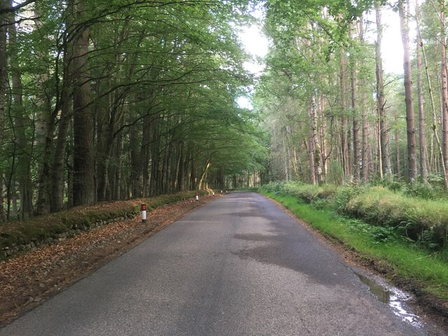
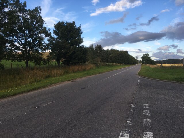
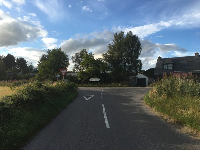
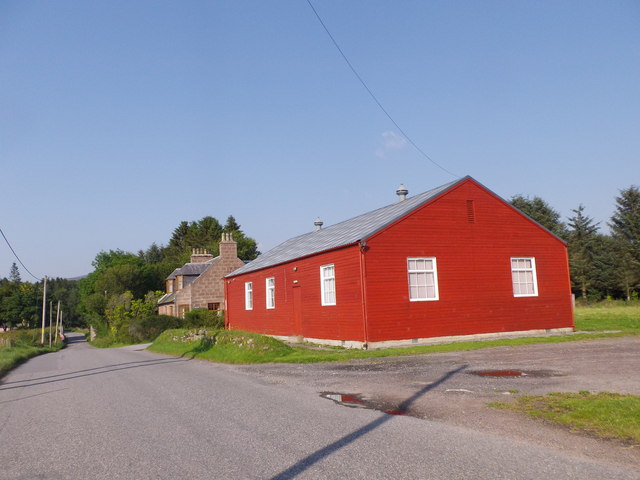
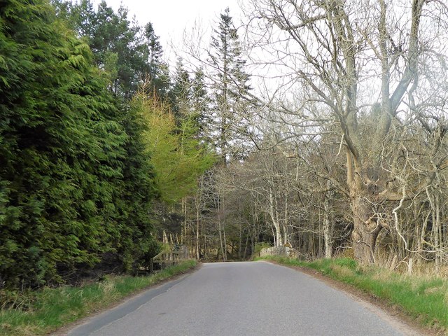
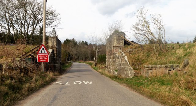
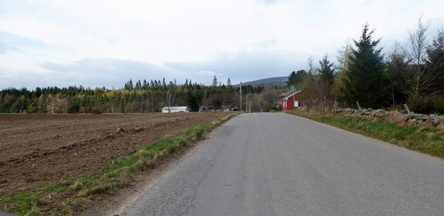
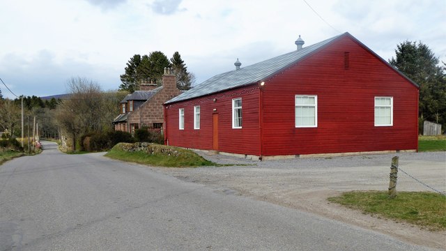
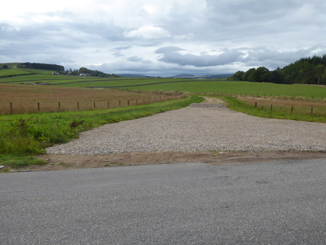
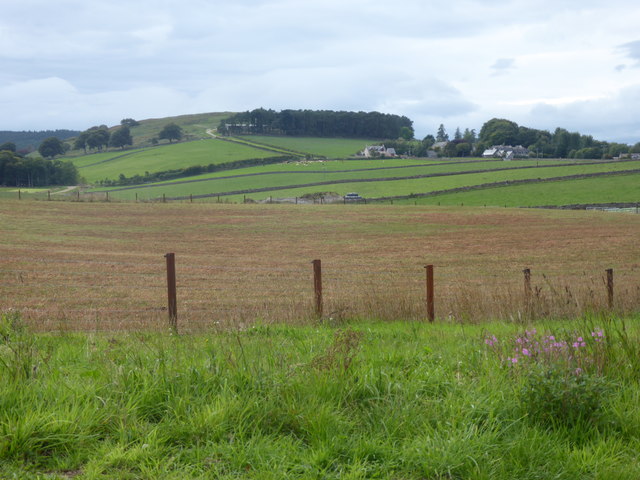
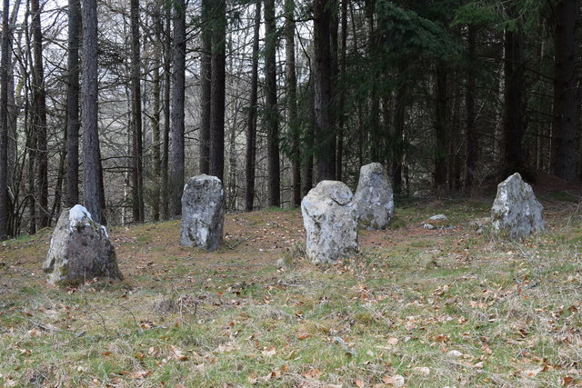
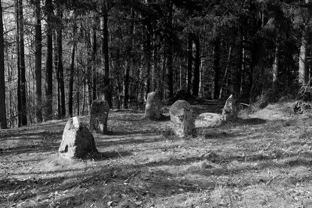
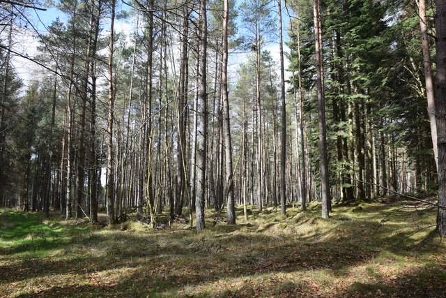
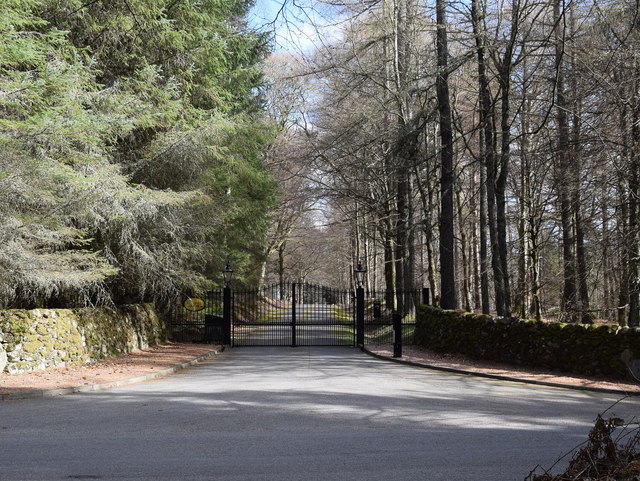
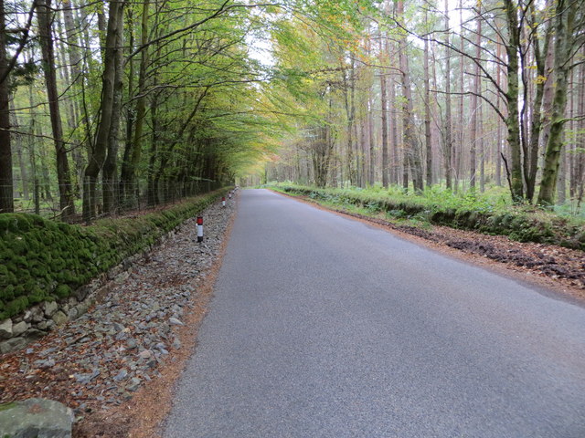
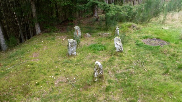
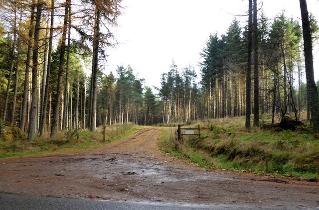
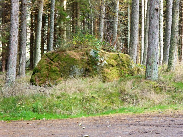
Knockendash Wood Images

Images are sourced within 2km of 57.099953/-2.5743038 or Grid Reference NJ6501. Thanks to Geograph Open Source API. All images are credited.

Minor road near Glassel
A980 towards Banchory
Road junction near Milton of Campfield
Glassel village hall (2015) By a minor road between Torphins and Banchory. Weatherboarding a vibrant colour in this afternoon sunshine.
Glassel village hall (2015)
By a minor road between Torphins and Banchory. Weatherboarding a vibrant colour in this afternoon sunshine.
Bridge over Beltie Burn On a minor road at Glassel; Bogarn Wood ahead.
Bridge over Beltie Burn
On a minor road at Glassel; Bogarn Wood ahead.
Dismantled Railway Bridge over minor road At Glassel; the 'road narrows' warning sign is for a blind hump-back stone bridge over the Beltie Burn a short distance ahead.
Dismantled Railway Bridge over minor road
At Glassel; the 'road narrows' warning sign is for a blind hump-back stone bridge over the Beltie Burn a short distance ahead.
Approach to Glassel village hall From near a minor road junction to its south.
Approach to Glassel village hall
From near a minor road junction to its south.
Glassel Village Hall (2017) Not much changed since 2015 (cf <a href="https://www.geograph.org.uk/photo/4628866">NO6599 : Glassel village hall (2015)</a>)
Glassel Village Hall (2017)
Not much changed since 2015 (cf NO6599 : Glassel village hall (2015))
A new road in preparation From Glassel Village Hall towards Mains of Easter Beltie (on Hill of Beltie: top left). Track not yet mapped.
A new road in preparation
From Glassel Village Hall towards Mains of Easter Beltie (on Hill of Beltie: top left). Track not yet mapped.
View to Hill of Beltie summit (195m asl) From minor road near Glassel Village Hall.
View to Hill of Beltie summit (195m asl)
From minor road near Glassel Village Hall.
Glassel stone circle You have to battle through a conifer plantation with numerous fallen trees to find this charming small 'circle', which is thought to be 'transitional' between recumbent circles and later 'four-poster' circles.  See the Canmore listing 36195 for much more: <span class="nowrap"><a title="https://canmore.org.uk/site/36195/glassel" rel="nofollow ugc noopener" href="https://canmore.org.uk/site/36195/glassel">Link</a><img style="margin-left:2px;" alt="External link" title="External link - shift click to open in new window" src="https://s1.geograph.org.uk/img/external.png" width="10" height="10"/></span> .
Glassel stone circle
You have to battle through a conifer plantation with numerous fallen trees to find this charming small 'circle', which is thought to be 'transitional' between recumbent circles and later 'four-poster' circles. See the Canmore listing 36195 for much more: LinkExternal link .
Light and shade at Glassel stone circle
Conifer plantation at Dam Wood
Gated driveway to Glassel House
Road passing between Dam and Bogarn Woods Looking south-eastward.
Road passing between Dam and Bogarn Woods
Looking south-eastward.
Glassel stone circle A prehistoric setting of five stones. <span class="nowrap"><a title="https://canmore.org.uk/site/36195/glassel" rel="nofollow ugc noopener" href="https://canmore.org.uk/site/36195/glassel">Link</a><img style="margin-left:2px;" alt="External link" title="External link - shift click to open in new window" src="https://s1.geograph.org.uk/img/external.png" width="10" height="10"/></span>
Glassel stone circle
A prehistoric setting of five stones. LinkExternal link
A 'woodland ride' into Kynoch Plantation Off minor road between Campfield and Glassel.
A 'woodland ride' into Kynoch Plantation
Off minor road between Campfield and Glassel.
Bishop Stone (2017) In Kynoch Plantation; by minor road from Glassel to A980 at Campfield.
Bishop Stone (2017)
In Kynoch Plantation; by minor road from Glassel to A980 at Campfield.
Show me another place!

Knockendash Wood is located at Grid Ref: NJ6501 (Lat: 57.099953, Lng: -2.5743038)

Unitary Authority: Aberdeenshire

Police Authority: North East

What 3 Words

///intruded.absorbs.unusually. Near Torphins, Aberdeenshire

Related Wikis

Beltie Burn

The Beltie Burn is a burn in Aberdeenshire, Scotland, which below Torphins and Glassel is known as the Burn of Canny. It begins in the hill of Benaquhallie...

Glassel railway station

Glassel railway station is a disused railway station in Britain. It served Glassel House, the Mill of Beltie and the local farms and the inhabitants of...

Hill of Fare

The Hill of Fare is a small hill in Aberdeenshire, Scotland. It is located about 5 km (3 miles) northeast of the village of Torphins. The hill is long...

Torphins railway station

Torphins railway station served the village of Torphins from 1859 to 1966 on the Deeside Railway that ran from Aberdeen (Joint) to Ballater. == History... ==

Nearby Amenities

Located within 500m of 57.099953,-2.5743038
Power: pole
Lat/Long: 57.1016674/-2.5816137
Power: pole
Lat/Long: 57.1010092/-2.5812393
Power: pole
Lat/Long: 57.1002862/-2.5808134
Power: pole
Lat/Long: 57.0995676/-2.5804142
Power: pole
Lat/Long: 57.0988032/-2.5799596
Power: pole
Lat/Long: 57.0982958/-2.5793773
Power: pole
Lat/Long: 57.0976464/-2.578614
Power: pole
Lat/Long: 57.0972497/-2.5781469
Power: pole
Lat/Long: 57.0967859/-2.5775956
Power: pole
Lat/Long: 57.0961466/-2.577003
The data included in this document is from www.openstreetmap.org. The data is made available under ODbL.

Have you been to Knockendash Wood?

Leave your review of Knockendash Wood below (or comments, questions and feedback).