Craigaithry Wood

Wood, Forest in Banffshire

Scotland

Craigaithry Wood

Old Milestone by the B925, Forglen parish Stone post by the B925, in parish of Forglen (Aberdeen District), 15m West of lane to Sweerburn, on verge behind wire fence.

Inscription reads:-
40
(To Aberdeen)

Surveyed

Milestone Society National ID: AD_TRAC40
Old Milestone by the B925, Forglen parish Credit: Milestone Society

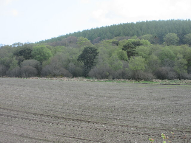
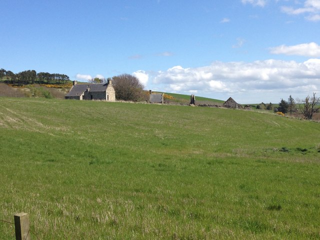
Craigaithry Wood is a scenic forest located in Banffshire, Scotland. Covering an area of approximately 150 acres, this woodland is nestled within the picturesque countryside, offering visitors a tranquil and serene environment to explore.

The wood boasts a diverse range of tree species, including oak, birch, and pine, which create a rich and vibrant tapestry of colors throughout the seasons. The forest floor is carpeted with a variety of wildflowers and mosses, adding to the beauty and biodiversity of the area.

Craigaithry Wood is home to numerous wildlife species, making it a haven for nature enthusiasts and wildlife photographers. Visitors may spot red squirrels, roe deer, and a variety of bird species, including the elusive capercaillie, which is known to frequent the area.

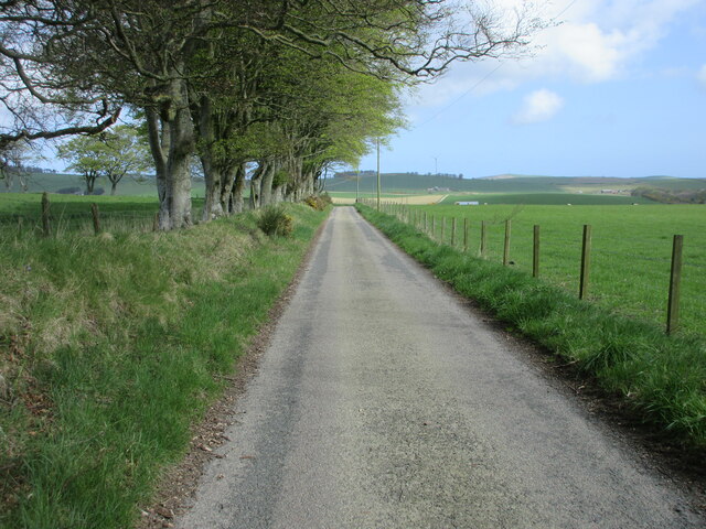
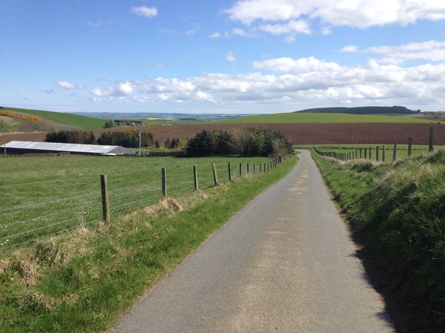
There are several walking trails that wind through the wood, allowing visitors to explore its natural wonders at their own pace. These well-maintained paths provide breathtaking views of the surrounding countryside and offer the opportunity to immerse oneself in the peaceful ambiance of the forest.

The wood is also a popular spot for picnics and family outings, with designated areas equipped with picnic tables and benches. Nature lovers can enjoy the soothing sounds of birdsong and the rustling of leaves while enjoying a meal amidst the tranquil surroundings.

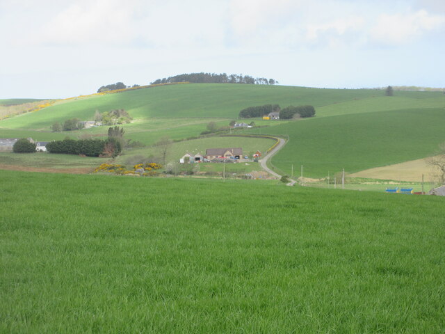
Craigaithry Wood is a hidden gem in Banffshire, offering a peaceful retreat for those seeking solace in nature. Its natural beauty and abundance of wildlife make it a must-visit destination for anyone exploring the Scottish countryside.

If you have any feedback on the listing, please let us know in the comments section below.

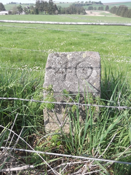
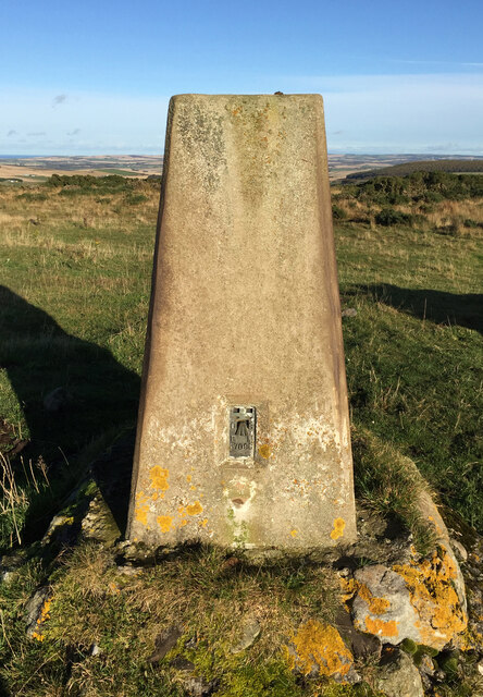
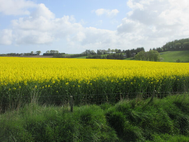
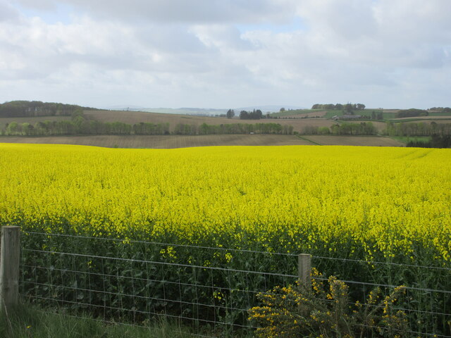
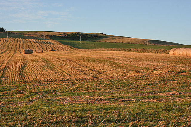
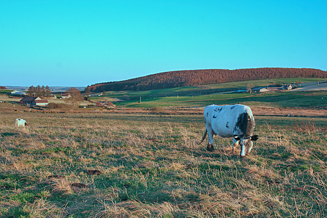
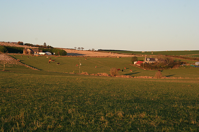
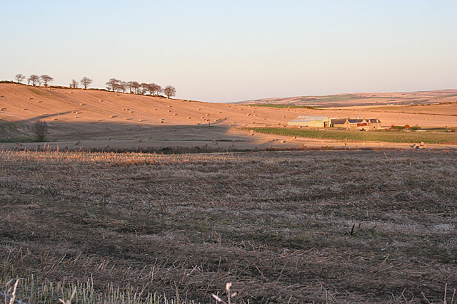
Craigaithry Wood Images

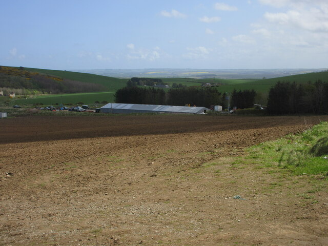
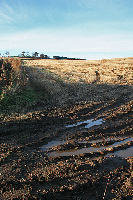
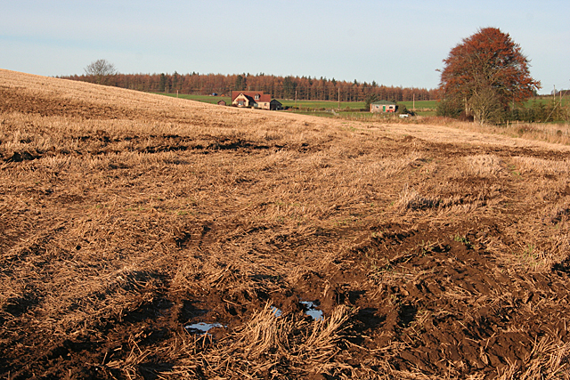
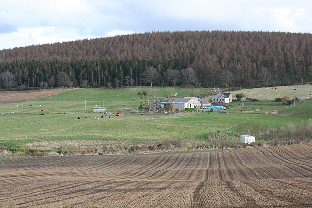
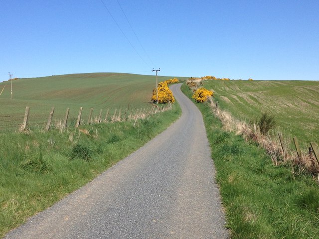
Images are sourced within 2km of 57.578701/-2.5775805 or Grid Reference NJ6554. Thanks to Geograph Open Source API. All images are credited.

Old Milestone by the B925, Forglen parish Stone post by the B925, in parish of Forglen (Aberdeen District), 15m West of lane to Sweerburn, on verge behind wire fence.

Inscription reads:-
40
(To Aberdeen)

Surveyed

Milestone Society National ID: AD_TRAC40
Old Milestone by the B925, Forglen parish
Stone post by the B925, in parish of Forglen (Aberdeen District), 15m West of lane to Sweerburn, on verge behind wire fence. Inscription reads:- 40 (To Aberdeen) Surveyed Milestone Society National ID: AD_TRAC40
Black Law Trig Point Flush Bracket S7098
Oil-seed rape near Brownside Looking east to a field of oil-seed rape near Brownside.
Oil-seed rape near Brownside
Looking east to a field of oil-seed rape near Brownside.
Oil-seed rape near Whitefield Looking south-westwards across a field of oil-seed rape near Whitefield.
Oil-seed rape near Whitefield
Looking south-westwards across a field of oil-seed rape near Whitefield.
Tams's Wood Mixed woodland of Tams's Wood, with the conifers of Brownside Wood beyond on the hillside.
Tams's Wood
Mixed woodland of Tams's Wood, with the conifers of Brownside Wood beyond on the hillside.
Road near Cooperhill Minor road heading north near Cooperhill.
Road near Cooperhill
Minor road heading north near Cooperhill.
Looking down the hill to Glinne Taobh A distant view from the south to the house at Glinne Taobh near Barbethill.
Looking down the hill to Glinne Taobh
A distant view from the south to the house at Glinne Taobh near Barbethill.
Ploughed field near Deuchries Looking eastwards down a ploughed field near Deuchries, with a large shed at Pinefield beyond.
Ploughed field near Deuchries
Looking eastwards down a ploughed field near Deuchries, with a large shed at Pinefield beyond.
Gallow Hill Late sunshine gives a golden glow to the stubble fields on the southern slope of Gallow Hill.
Gallow Hill
Late sunshine gives a golden glow to the stubble fields on the southern slope of Gallow Hill.
Near Lower Deuchries On the left is Burngrains, and in the distance, on the right, is the oddly named Commissarybog.
Near Lower Deuchries
On the left is Burngrains, and in the distance, on the right, is the oddly named Commissarybog.
Barbethill Barbethill, on the left in this view, is on the edge of this square. The farm on the right is also in square, but unnamed on the maps.
Barbethill
Barbethill, on the left in this view, is on the edge of this square. The farm on the right is also in square, but unnamed on the maps.
In the Shadow of Barbet Hill Most of this view is in shadow as the sun sets behind Barbet Hill, but Cowie Hill is still in the sunshine. Kiltryknock,towards the right, straddles the grid line.
In the Shadow of Barbet Hill
Most of this view is in shadow as the sun sets behind Barbet Hill, but Cowie Hill is still in the sunshine. Kiltryknock,towards the right, straddles the grid line.
Brownside Looking up from the wet ruts at the field entrance to the dry stubble at the top of the brae.
Brownside
Looking up from the wet ruts at the field entrance to the dry stubble at the top of the brae.
Crofts of Brownside A modern house has replaced an older croft house at Crofts of Brownside.
Crofts of Brownside
A modern house has replaced an older croft house at Crofts of Brownside.
South Boggiehead Not a very appealing name, but one that has changed over time; the mid-Victorian six-inch Ordnance Survey map names it as Boghead of Mountblairy. Brownside Wood covers the hill beyond the farm.
South Boggiehead
Not a very appealing name, but one that has changed over time; the mid-Victorian six-inch Ordnance Survey map names it as Boghead of Mountblairy. Brownside Wood covers the hill beyond the farm.
Minor road near Herodhill
Derelict farm at Malcolmford
Minor road near Little Deuchries
Show me another place!

Craigaithry Wood is located at Grid Ref: NJ6554 (Lat: 57.578701, Lng: -2.5775805)

Unitary Authority: Aberdeenshire

Police Authority: North East

What 3 Words

///eased.engaging.ripples. Near Aberchirder, Aberdeenshire

Nearby Locations

Craigaithry Wood

Related Wikis

Aberchirder

Aberchirder (Scots: Fogieloan, Scottish Gaelic: Obar Chiardair) known locally as Foggieloan or Foggie, is a village in Aberdeenshire, Scotland, situated...

Whitehill Wood, Aberdeenshire

Whitehill Wood is a wood and megalithic stone circle in Aberdeenshire, Scotland, located off the B9025 road between Aberchirder and Turriff and between...

Bogton

Bogton is a rural area in Aberdeenshire, Scotland. To the south is Whitehill Wood and megalithic circle. == References ==
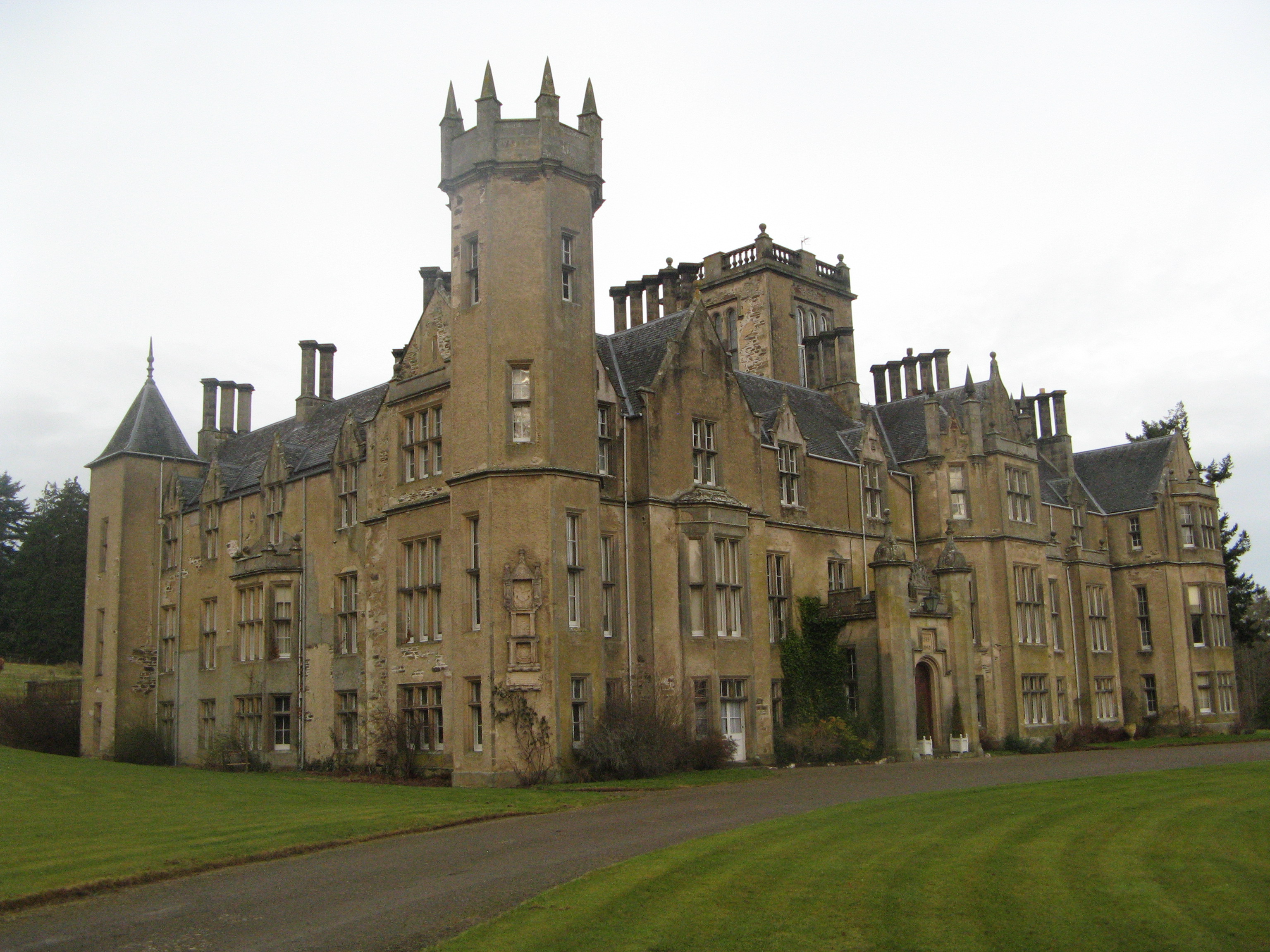
Forglen House

Forglen House is a mansion house that forms the centrepiece of the Forglen estate in the parish of Forglen, north-west of Turriff, Aberdeenshire, in the...

Nearby Amenities

Located within 500m of 57.578701,-2.5775805
Power: pole
Lat/Long: 57.5820428/-2.5740151
Power: pole
Lat/Long: 57.5820901/-2.5732484
Power: pole
Lat/Long: 57.5821386/-2.5724241
Power: pole
Lat/Long: 57.5813847/-2.5710202
The data included in this document is from www.openstreetmap.org. The data is made available under ODbL.

Have you been to Craigaithry Wood?

Leave your review of Craigaithry Wood below (or comments, questions and feedback).