Roughlee Strip

Wood, Forest in Roxburghshire

Scotland

Roughlee Strip

Beside the Shaw Burn An unplanted strip between the burn and conifers. The ground is damp and grass/meadowsweet long.  Across the burn there is a more recent plantation.
Beside the Shaw Burn Credit: Richard Webb

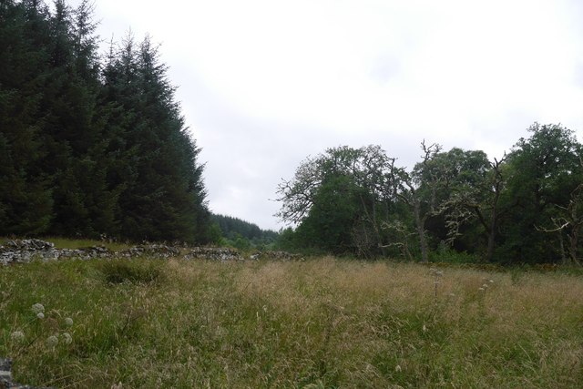
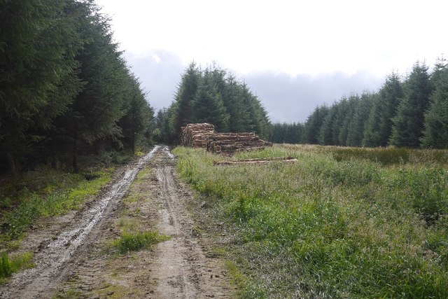
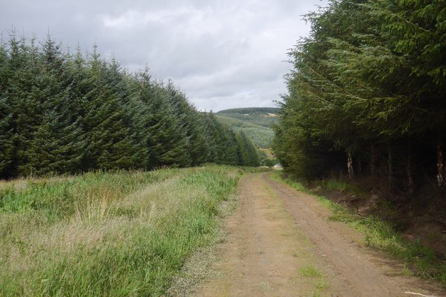
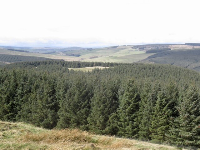
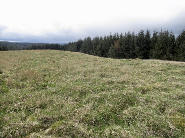
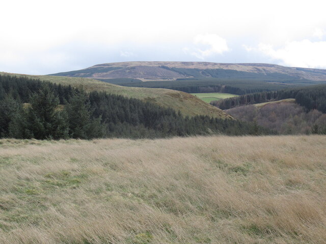
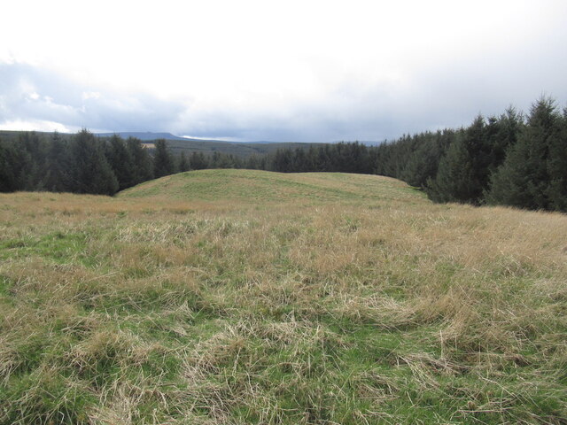
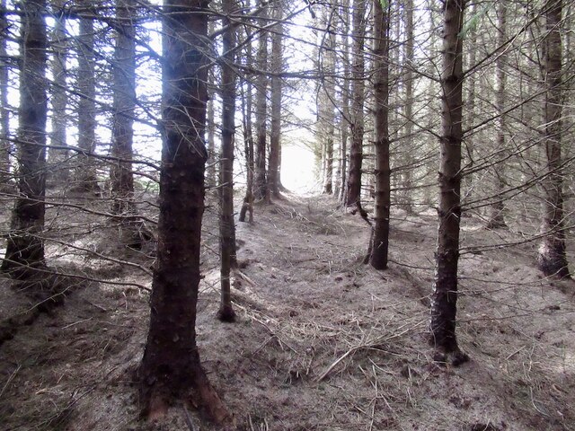
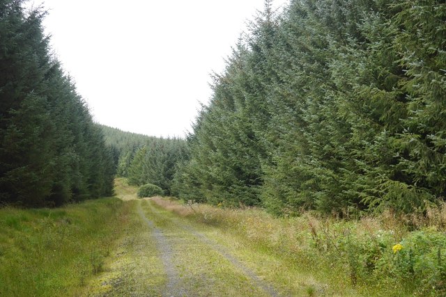
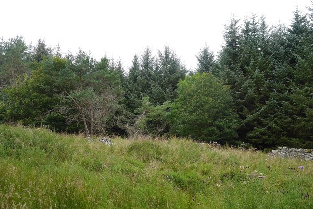
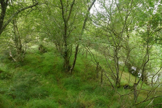
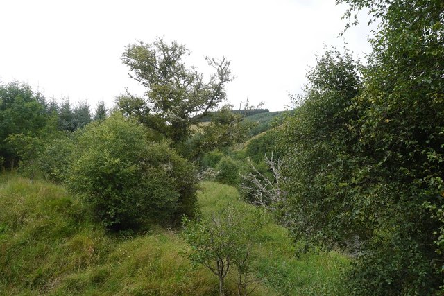
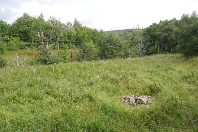
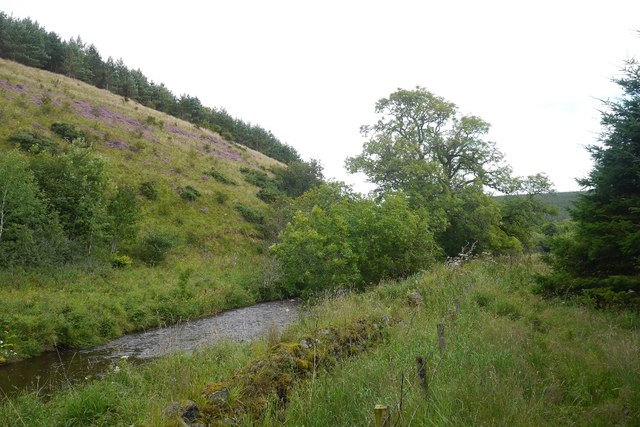
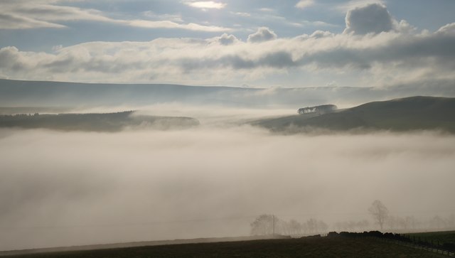
Roughlee Strip is a charming woodland area located in Roxburghshire, Scotland. Situated near the village of Roughlee, it covers an expansive area of lush greenery and breathtaking natural beauty. The woodland is predominantly composed of various species of trees, including oak, birch, and pine, creating a diverse and visually appealing landscape.

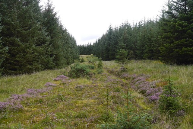
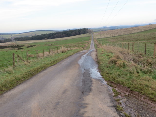
The strip is a haven for nature enthusiasts and outdoor lovers, offering a wide range of recreational activities. Hiking trails crisscross the area, providing visitors with the opportunity to explore the wood's enchanting pathways and discover hidden treasures along the way. The well-maintained paths are suitable for all levels of fitness, making it an ideal destination for families and casual walkers.

The forest is home to a rich array of wildlife, offering glimpses of indigenous species such as red squirrels, roe deer, and a variety of birdlife. Nature lovers can indulge in birdwatching or simply relish the tranquility of their surroundings while listening to the soothing sounds of nature.

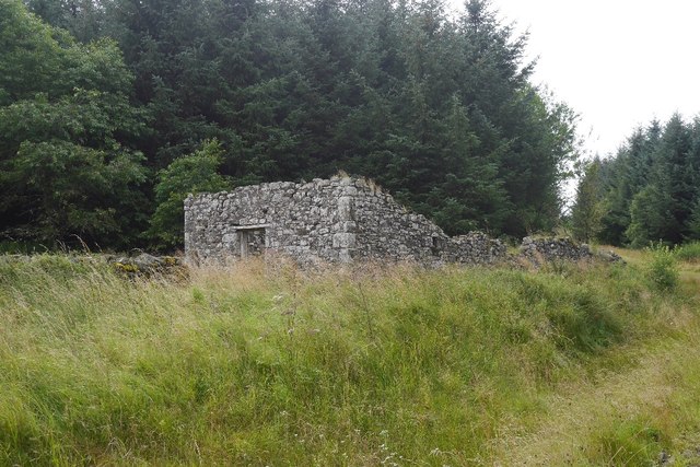
In addition to its natural beauty, Roughlee Strip is also steeped in history. The area has been utilized for centuries, with evidence of past human habitation scattered throughout. Historical landmarks, such as ancient ruins and remnants of old settlements, can be found within the woodland, adding an extra layer of intrigue and fascination.

Overall, Roughlee Strip provides a picturesque retreat for those seeking solace in nature. Its well-preserved woodlands, diverse flora and fauna, and historical significance make it a must-visit destination for anyone exploring the Roxburghshire region.

If you have any feedback on the listing, please let us know in the comments section below.

Roughlee Strip Images

Images are sourced within 2km of 55.39348/-2.545861 or Grid Reference NT6511. Thanks to Geograph Open Source API. All images are credited.

Beside the Shaw Burn An unplanted strip between the burn and conifers. The ground is damp and grass/meadowsweet long.  Across the burn there is a more recent plantation.
Beside the Shaw Burn
An unplanted strip between the burn and conifers. The ground is damp and grass/meadowsweet long. Across the burn there is a more recent plantation.
Logging road, Waterside Thinning in progress in the woodlands south of the Jed Water. All through the struggle along the riverbank I could hear machinery at work somewhere in the forest and was worried about getting out along this road.  After a delay for a puncture repair I was able to get through with the work taking place in the trees to the left.

The road was rather muddy.
Logging road, Waterside
Thinning in progress in the woodlands south of the Jed Water. All through the struggle along the riverbank I could hear machinery at work somewhere in the forest and was worried about getting out along this road. After a delay for a puncture repair I was able to get through with the work taking place in the trees to the left. The road was rather muddy.
Road to Waterside A forest road which was being used in thinning operations and also gives access to a building beside the Jed Water.
Road to Waterside
A forest road which was being used in thinning operations and also gives access to a building beside the Jed Water.
White Hill View from Shaw Craig with the summit clearing just about visible above the trees.
White Hill
View from Shaw Craig with the summit clearing just about visible above the trees.
Summit area, White Hill A hill fort but not as well defined on the ground as neighbouring Shaw Craig. The summit clearing is accessed by following up a row of trees. In some places the dead branches have been removed leaving an easy path up. Finding one is mainly luck but some are marked by white posts.
Summit area, White Hill
A hill fort but not as well defined on the ground as neighbouring Shaw Craig. The summit clearing is accessed by following up a row of trees. In some places the dead branches have been removed leaving an easy path up. Finding one is mainly luck but some are marked by white posts.
View towards Carter Fell From the summit clearing of White Hill.
View towards Carter Fell
From the summit clearing of White Hill.
Summit clearing, White Hill
Woodland on White Hill Easy going for once through the trees towards the light at the summit clearing.
Woodland on White Hill
Easy going for once through the trees towards the light at the summit clearing.
Forest road, The Hass The road runs along the route of what is marked on older roads as a drove road.
Forest road, The Hass
The road runs along the route of what is marked on older roads as a drove road.
Ruined dyke,   Shaw Remains of the farming before the forestry.
Ruined dyke, Shaw
Remains of the farming before the forestry.
Shaw, Hass Ruin, now deep in a new forestry plantation.
Shaw, Hass
Ruin, now deep in a new forestry plantation.
Road, The Hass A rarely used forest road which ends by the Shaw Burn.
Road, The Hass
A rarely used forest road which ends by the Shaw Burn.
Beside the Jed Water A strip of broadleaved woodland beside the river.  The going is tough here, but every now and then there is a short stretch of old path.
Beside the Jed Water
A strip of broadleaved woodland beside the river. The going is tough here, but every now and then there is a short stretch of old path.
Beside the Jed Water A strip of rough grass and native trees between the conifer plantations and river.
Beside the Jed Water
A strip of rough grass and native trees between the conifer plantations and river.
Cairn near Waterside A cairn beside the Jed Water.
Cairn near Waterside
A cairn beside the Jed Water.
Jed Water The river flows beneath steep unplanted slopes. Other than beside the river, most land here is planted with conifers.
Jed Water
The river flows beneath steep unplanted slopes. Other than beside the river, most land here is planted with conifers.
Valley fog at Falside An image captured on a fine November morning near Chesters.
Valley fog at Falside
An image captured on a fine November morning near Chesters.
Minor road near to Mervins Law Looking north-eastward.
Minor road near to Mervins Law
Looking north-eastward.
Show me another place!

Roughlee Strip is located at Grid Ref: NT6511 (Lat: 55.39348, Lng: -2.545861)

Unitary Authority: The Scottish Borders

Police Authority: The Lothians and Scottish Borders

What 3 Words

///cello.weeps.crinkled. Near Jedburgh, Scottish Borders

Nearby Locations

Roughlee Strip

Related Wikis

Southdean

Southdean is a hamlet in the Scottish Borders area of Scotland, on the A6088, by the Jed Water and in the Wauchope Forest area. Other settlements nearby...

Camptown, Scottish Borders

Camptown is a small settlement on the A68, in the Scottish Borders area of Scotland, 5m (8 km) south of Jedburgh, and the same distance south to Carter...

Edgerston

Edgerston is a village and an estate about 4 miles (6.4 km) north of the Anglo-Scottish border, and 8 miles (13 km) south of Jedburgh in the Scottish Borders...

Bairnkine

Bairnkine is a hamlet on the Jed Water in the Scottish Borders area of Scotland, on the A68, south of Jedburgh. Other places nearby include Abbotrule,...

Nearby Amenities

Located within 500m of 55.39348,-2.545861
Whiteside Knowe
Natural: peak
Lat/Long: 55.3925971/-2.5452814
Turning Circle
Lat/Long: 55.3911965/-2.5431745
Power: pole
Lat/Long: 55.3974883/-2.5441194
Power: pole
Lat/Long: 55.3971029/-2.5450968
Power: pole
Lat/Long: 55.3969449/-2.5463388
Power: pole
Lat/Long: 55.3970778/-2.5477148
Power: pole
Lat/Long: 55.3972214/-2.5491723
The data included in this document is from www.openstreetmap.org. The data is made available under ODbL.

Have you been to Roughlee Strip?

Leave your review of Roughlee Strip below (or comments, questions and feedback).