Turk Wood

Wood, Forest in Aberdeenshire

Scotland

Turk Wood

Woodland track heading towards its junction with the B993 Looking north-westward.
Woodland track heading towards its junction with the B993 Credit: Peter Wood

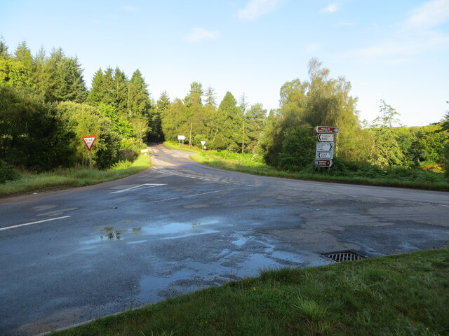
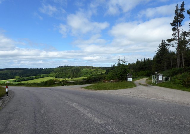
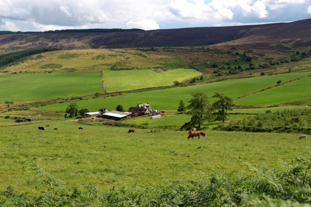
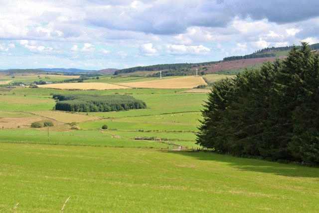
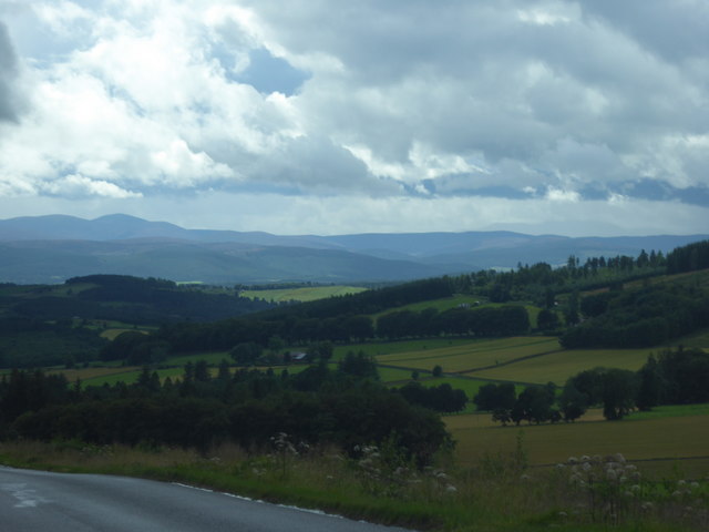
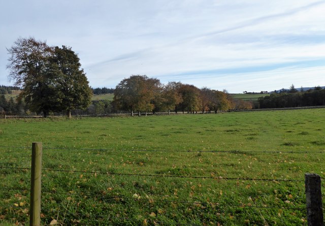
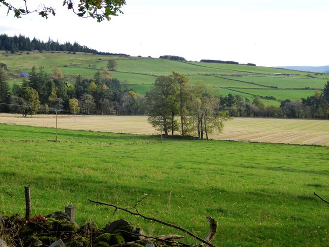
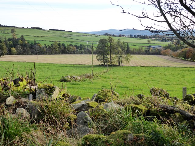
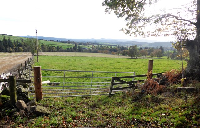
Turk Wood is a picturesque forest located in Aberdeenshire, Scotland. Spread across a vast area, this wood is renowned for its natural beauty and diverse range of flora and fauna. It is situated near the village of Turiff, making it easily accessible to both locals and tourists.

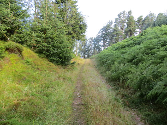
Upon entering Turk Wood, visitors are greeted with a tranquil ambiance and a refreshing scent of pine. The wood is dominated by a mix of mature coniferous and broadleaf trees, creating a stunning canopy overhead. The lush green undergrowth, consisting of ferns, mosses, and wildflowers, adds to the enchanting atmosphere.

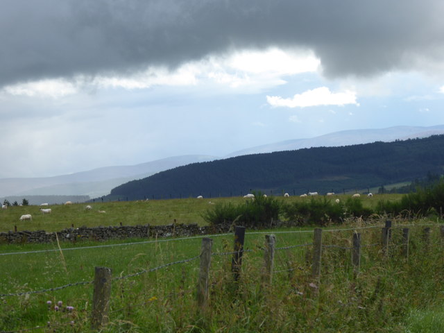
The wood is home to a rich variety of wildlife, making it a haven for nature enthusiasts and birdwatchers. Visitors may spot red squirrels, roe deer, and various species of birds, including woodpeckers and owls. The diverse ecosystem of Turk Wood provides a habitat for many rare and endangered species, making it an important conservation area.

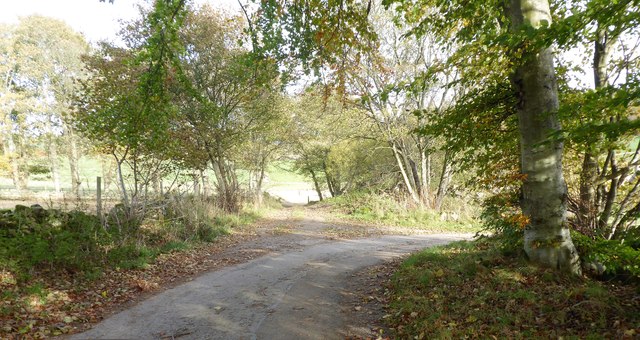
There are several well-maintained trails that wind through the wood, offering a chance to explore its natural wonders. These paths are suitable for all levels of hiking ability and provide opportunities for leisurely strolls or more challenging treks. The wood also offers picnic areas and benches for visitors to relax and enjoy the peaceful surroundings.

Turk Wood is a popular destination for outdoor activities such as walking, cycling, and photography. Its idyllic setting, combined with the tranquility it offers, makes it a perfect retreat for those seeking solace amidst nature's beauty.

If you have any feedback on the listing, please let us know in the comments section below.
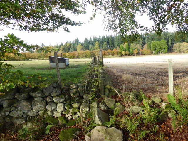
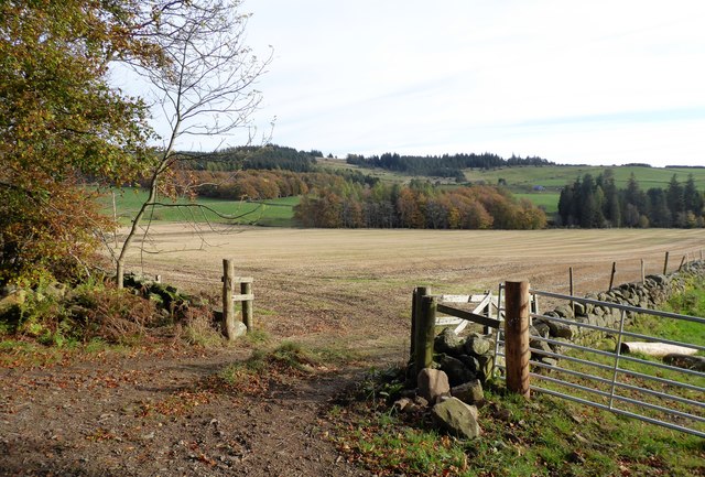
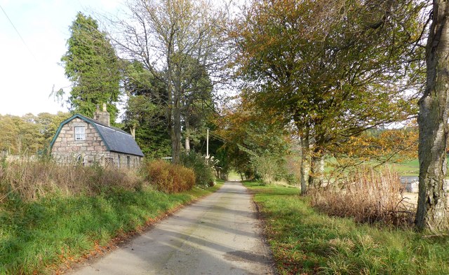
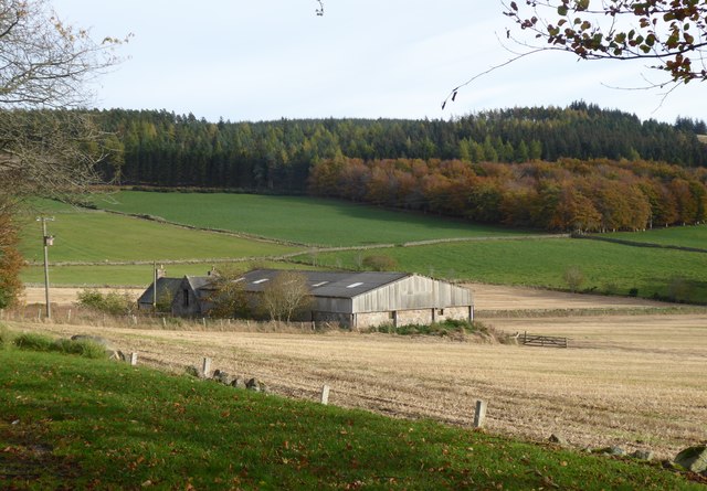
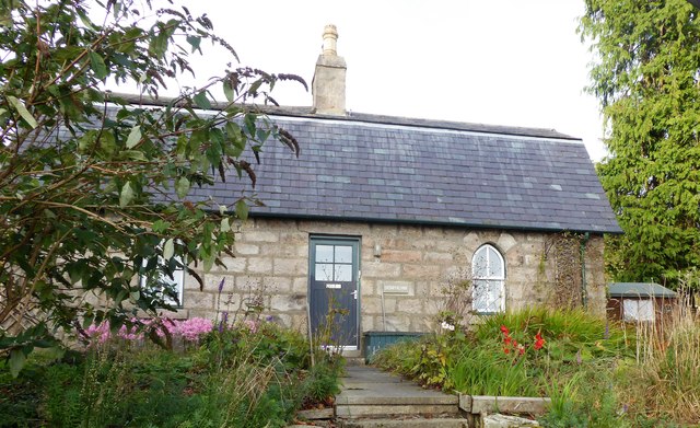
Turk Wood Images

Images are sourced within 2km of 57.12435/-2.5707176 or Grid Reference NJ6503. Thanks to Geograph Open Source API. All images are credited.

Woodland track heading towards its junction with the B993 Looking north-westward.
Woodland track heading towards its junction with the B993
Looking north-westward.
Junction of roads B993 and B9119 Looking westward. From this point it is possible to go to Torphins (3), Alford (11), Tarland (12), Inverurie (17), Aberdeen (19) plus two local coffee shops. Bracketed figures are miles.
Junction of roads B993 and B9119
Looking westward. From this point it is possible to go to Torphins (3), Alford (11), Tarland (12), Inverurie (17), Aberdeen (19) plus two local coffee shops. Bracketed figures are miles.
Snowy forest track up Hill of Fare
An access to Learney House on right From B993 crossing summit of Learney Hill (west end of Hill of Fare). Recent clear felling of trees on both sides of this road has recently taken place here.
An access to Learney House on right
From B993 crossing summit of Learney Hill (west end of Hill of Fare). Recent clear felling of trees on both sides of this road has recently taken place here.
Tillenturk from the B993 The farm is nestled in a hollow on the northwest side of Hill of Fare.
Tillenturk from the B993
The farm is nestled in a hollow on the northwest side of Hill of Fare.
Shelter belt at Tillenturk
A south-westerly view; from the B993 over Learney Hill towards Torphins Of towering mid-summer cumulus clouds over Royal Deeside.
A south-westerly view; from the B993 over Learney Hill towards Torphins
Of towering mid-summer cumulus clouds over Royal Deeside.
Storm cloud over Torphins View from B993 on Learney Hill, to forested Ord Fundlie on the south side of the village.
Storm cloud over Torphins
View from B993 on Learney Hill, to forested Ord Fundlie on the south side of the village.
Tree-lined track South from Pond Cottage, on Learney Estate.
Tree-lined track
South from Pond Cottage, on Learney Estate.
Clump of trees At a triple point of connecting fields south of the Skerryalva road.
Clump of trees
At a triple point of connecting fields south of the Skerryalva road.
A field divider mound with electricity poles South from the Skerryalva road; Pond Cottage visible at the extreme right of photo.
A field divider mound with electricity poles
South from the Skerryalva road; Pond Cottage visible at the extreme right of photo.
Field gate near Skerryalva And wire fence field boundary, on a loose stone base.
Field gate near Skerryalva
And wire fence field boundary, on a loose stone base.
Field boundary near Skerryalva Loose stone mound with surmounted wire.
Field boundary near Skerryalva
Loose stone mound with surmounted wire.
Entrance to a  field south of  Skerryalva road 'Netherlands' tree belt in middle distance.
Entrance to a field south of Skerryalva road
'Netherlands' tree belt in middle distance.
Skerryalva Road With Skerryalva cottage on left; note dutch-style pitched roof.
Skerryalva Road
With Skerryalva cottage on left; note dutch-style pitched roof.
View towards  Corquhittachie from near Skerryalva
View towards Corquhittachie from near Skerryalva
Front terrace garden of a country cottage Skerryalva in early Autumn.
Front terrace garden of a country cottage
Skerryalva in early Autumn.
Road junction between Skerryalva and Corquhittachie Junction of a minor road through Learney Estate with a forest access track.
Road junction between Skerryalva and Corquhittachie
Junction of a minor road through Learney Estate with a forest access track.
Show me another place!

Turk Wood is located at Grid Ref: NJ6503 (Lat: 57.12435, Lng: -2.5707176)

Unitary Authority: Aberdeenshire

Police Authority: North East

What 3 Words

///scanty.audibly.budget. Near Torphins, Aberdeenshire

Nearby Locations

Turk Wood

Related Wikis

Hill of Fare

The Hill of Fare is a small hill in Aberdeenshire, Scotland. It is located about 5 km (3 miles) northeast of the village of Torphins. The hill is long...

Torphins railway station

Torphins railway station served the village of Torphins from 1859 to 1966 on the Deeside Railway that ran from Aberdeen (Joint) to Ballater. == History... ==

Torphins

Torphins ( tor-FINZ; Scottish Gaelic: Tòrr Fionn) is a village in Royal Deeside, Aberdeenshire, Scotland which lies about 22 miles (35 km) west of Aberdeen...

Midmar

Midmar is a historic settlement in Aberdeenshire, lying north of Banchory and southwest of Inverurie. It is noted for its three stone circles and various...

Have you been to Turk Wood?

Leave your review of Turk Wood below (or comments, questions and feedback).