Knowes Plantation
Wood, Forest in Roxburghshire
Scotland
Knowes Plantation
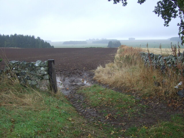
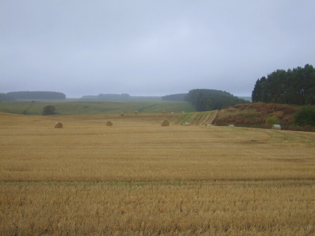
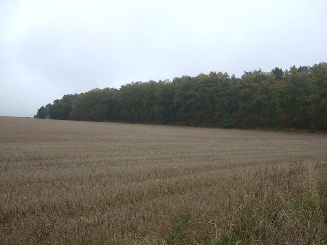
Knowes Plantation is a picturesque woodland located in the county of Roxburghshire, Scotland. Covering an area of approximately 100 acres, this forested area is known for its natural beauty and diverse range of plant and animal species.
The plantation is primarily composed of native tree species such as oak, birch, and Scots pine, creating a dense canopy that provides shelter and nesting sites for various bird species. The woodland floor is covered with a rich carpet of wildflowers, including bluebells, primroses, and wood sorrel, adding a splash of color to the landscape during the spring and summer months.
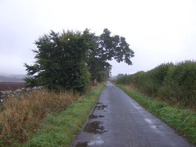
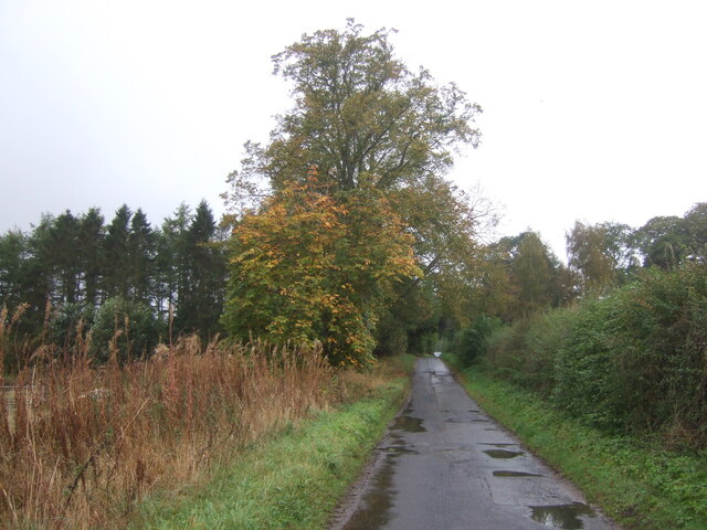
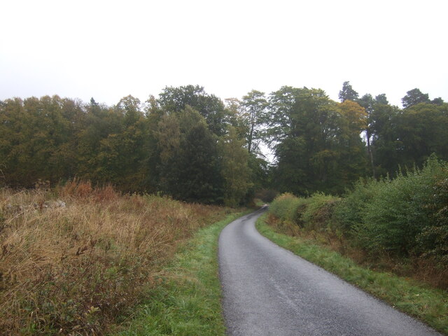
Several walking trails wind their way through the plantation, allowing visitors to explore its tranquil surroundings and observe the local wildlife. The forest is home to a variety of animals, including red squirrels, roe deer, and a wide range of bird species such as woodpeckers, owls, and finches.
Knowes Plantation offers a peaceful retreat for nature enthusiasts and outdoor enthusiasts alike. Whether it's a leisurely stroll along the well-maintained paths, birdwatching from one of the designated viewpoints, or simply enjoying a picnic in the midst of nature, there is something for everyone to enjoy in this charming woodland.
The plantation is easily accessible by car, with ample parking available nearby. It is open to the public year-round, providing a perfect escape from the hustle and bustle of everyday life. Whether you are a local resident or a visitor to Roxburghshire, Knowes Plantation is a must-visit destination for those seeking a connection with nature in a serene and picturesque setting.
If you have any feedback on the listing, please let us know in the comments section below.
Knowes Plantation Images
Images are sourced within 2km of 55.542834/-2.5488643 or Grid Reference NT6527. Thanks to Geograph Open Source API. All images are credited.


Knowes Plantation is located at Grid Ref: NT6527 (Lat: 55.542834, Lng: -2.5488643)
Unitary Authority: The Scottish Borders
Police Authority: The Lothians and Scottish Borders
What 3 Words
///gravitate.clutter.commands. Near Saint Boswells, Scottish Borders
Nearby Locations
Related Wikis

Waterloo Monument
The Waterloo Monument near Ancrum in the Scottish Borders is a 150-foot tower, built between 1817 and 1824 to commemorate the Battle of Waterloo. It was...

Peniel Heugh
Peniel Heugh (237 m) is a hill near Ancrum and Nisbet in the Scottish Borders area of Scotland. On it stands the Waterloo Monument. == Geology == The heugh...

Nisbet railway station
Nisbet railway station served the hamlet of Nisbet, Scottish Borders, Scotland from 1856 to 1948, on the Jedburgh Railway. == History == The station opened...

Rutherford railway station
Rutherford railway station served the parish of Maxton, Roxburghshire, Scotland from 1851 to 1964 on the Kelso Line. == History == The station opened in...
Nearby Amenities
Located within 500m of 55.542834,-2.5488643Have you been to Knowes Plantation?
Leave your review of Knowes Plantation below (or comments, questions and feedback).