Westknowes Plantation
Wood, Forest in Roxburghshire
Scotland
Westknowes Plantation
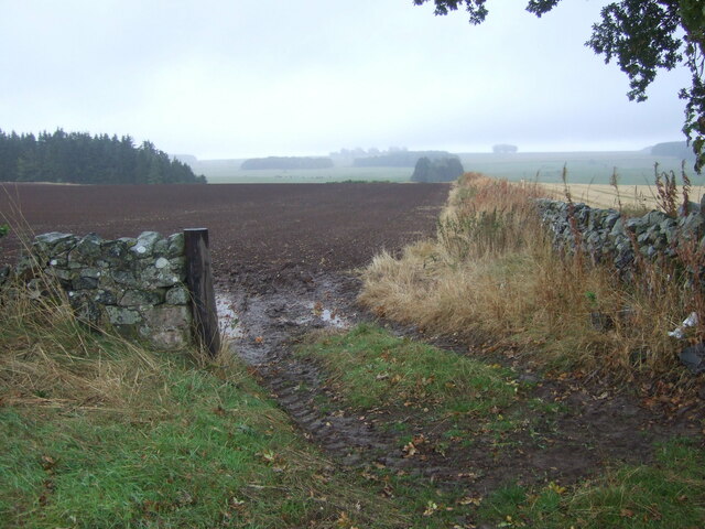
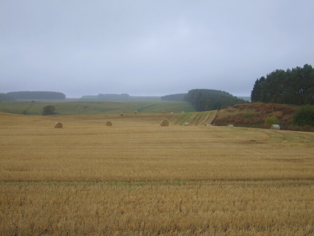
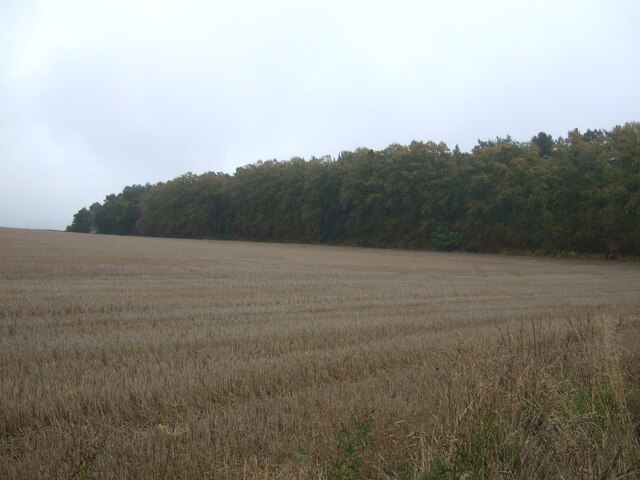
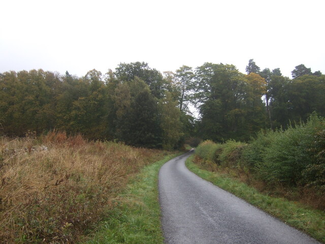
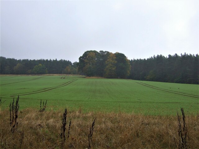
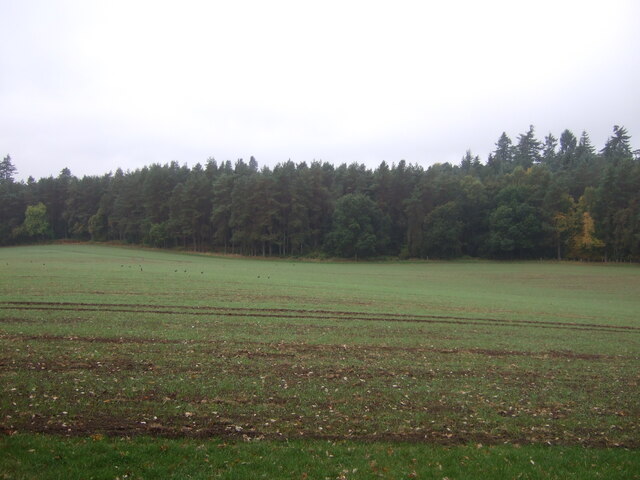
Westknowes Plantation is a magnificent woodland located in the county of Roxburghshire, Scotland. Spanning over a vast area of land, it is a prime example of a well-preserved and diverse forest ecosystem. The plantation is renowned for its dense and lush vegetation, comprising a wide range of tree species that contribute to its stunning natural beauty.
Situated in a picturesque setting, Westknowes Plantation boasts a rich history dating back several centuries. It has been carefully managed and maintained over the years, ensuring the preservation of its unique flora and fauna. The woodland is home to an abundance of wildlife, including various bird species, mammals, and insects, making it a haven for nature enthusiasts and bird watchers.
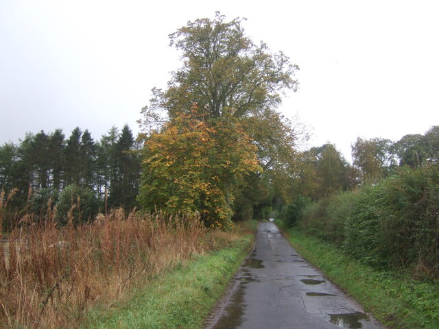
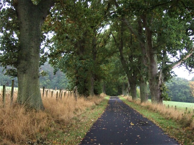
The plantation offers visitors a serene and tranquil environment, ideal for leisurely walks, hiking, and picnicking. There are well-maintained trails and pathways that wind through the forest, providing easy access to its different sections. Along these paths, visitors can admire the towering trees, listen to the soothing sounds of nature, and breathe in the crisp, fresh air.
Westknowes Plantation also serves as an important habitat for several rare and endangered species. Conservation efforts are implemented to ensure the protection and preservation of these species, making the woodland an integral part of the local biodiversity.
Overall, Westknowes Plantation is a captivating woodlandscape that showcases the natural splendor of Roxburghshire. Its stunning scenery, abundant wildlife, and peaceful atmosphere make it a must-visit destination for nature lovers and those seeking a respite from the hustle and bustle of everyday life.
If you have any feedback on the listing, please let us know in the comments section below.
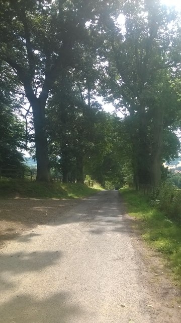
Westknowes Plantation Images
Images are sourced within 2km of 55.537588/-2.5525148 or Grid Reference NT6527. Thanks to Geograph Open Source API. All images are credited.


Westknowes Plantation is located at Grid Ref: NT6527 (Lat: 55.537588, Lng: -2.5525148)
Unitary Authority: The Scottish Borders
Police Authority: The Lothians and Scottish Borders
What 3 Words
///baseline.clenching.annoys. Near Jedburgh, Scottish Borders
Nearby Locations
Related Wikis

Peniel Heugh
Peniel Heugh (237 m) is a hill near Ancrum and Nisbet in the Scottish Borders area of Scotland. On it stands the Waterloo Monument. == Geology == The heugh...

Waterloo Monument
The Waterloo Monument near Ancrum in the Scottish Borders is a 150-foot tower, built between 1817 and 1824 to commemorate the Battle of Waterloo. It was...

Monteviot House
Monteviot House is the early 18th century home of the Marquess of Lothian, the politician better known as Michael Ancram. It is located on the River Teviot...

Nisbet railway station
Nisbet railway station served the hamlet of Nisbet, Scottish Borders, Scotland from 1856 to 1948, on the Jedburgh Railway. == History == The station opened...

Jed Water
The Jed Water is a river and a tributary of the River Teviot in the Borders region of Scotland. In total the Jed Water is over 21.75 miles (35.00 km) long...

Nisbet, Scottish Borders
Nisbet is a small hamlet on the B6400, in Roxburghshire, along the River Teviot, in the Scottish Borders area of Scotland. It is located 5.5 kilometres...

Jedfoot railway station
Jedfoot railway station served the town of Jedburgh, Scottish Borders, Scotland from 1856 to 1948 on the Jedburgh Railway. == History == The station opened...

Battle of Ancrum Moor
The Battle of Ancrum Moor was fought during the War of the Rough Wooing in 1545. The Scottish victory put a temporary end to English incursions in the...
Nearby Amenities
Located within 500m of 55.537588,-2.5525148Have you been to Westknowes Plantation?
Leave your review of Westknowes Plantation below (or comments, questions and feedback).