Weavers Clump
Wood, Forest in Roxburghshire
Scotland
Weavers Clump
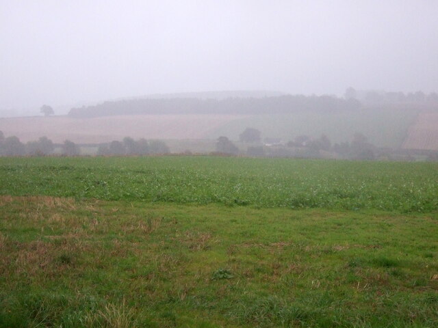
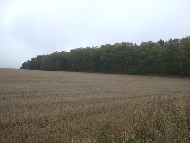
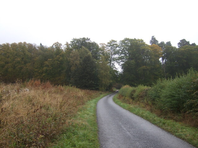
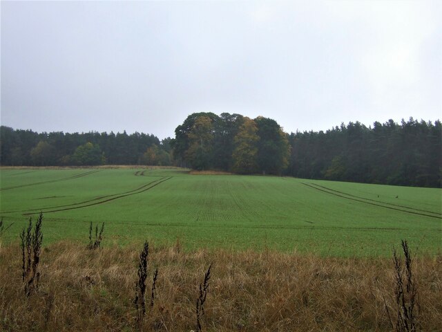
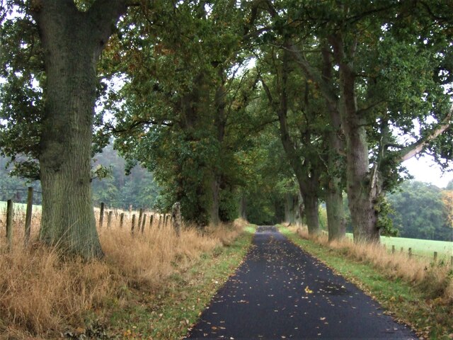
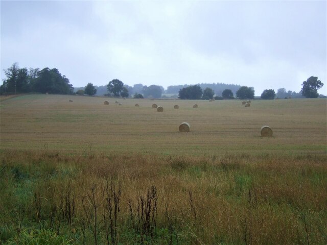
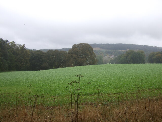
Weavers Clump is a picturesque wood located in the county of Roxburghshire, Scotland. Situated in the heart of the countryside, it is a well-preserved and enchanting forest that covers an area of approximately 100 acres.
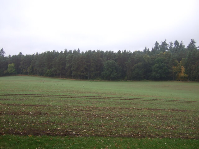
The wood is characterized by its diverse range of tree species, including oak, beech, ash, and birch, creating a rich and vibrant ecosystem. The dense canopy provides shelter and habitat for a variety of wildlife, such as red squirrels, roe deer, and a variety of bird species.
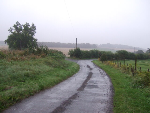
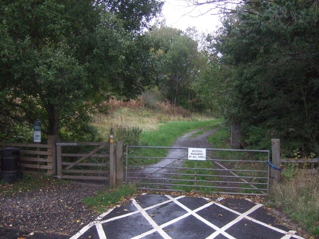
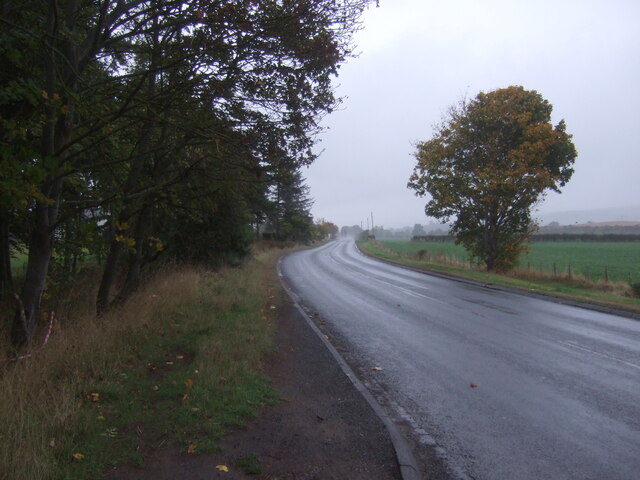
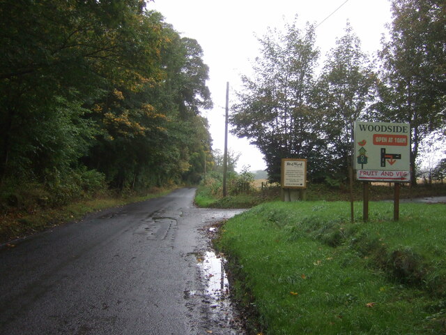
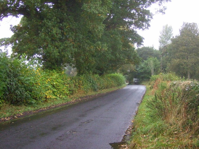
Weavers Clump is also known for its tranquil atmosphere, making it a popular destination for nature lovers and hikers. Numerous walking trails wind through the forest, offering visitors the opportunity to explore its natural beauty and discover hidden gems along the way.
One of the highlights of Weavers Clump is a small stream that meanders through the wood, adding to the overall charm and serenity of the place. The sound of the babbling water creates a soothing ambiance and provides a refreshing respite during hot summer days.
The wood has a rich history, with evidence of weaving looms dating back to the 18th century, hence its name "Weavers Clump." Local legends tell stories of skilled weavers who once resided in the area, using the forest's resources to create fine textiles.
Today, Weavers Clump continues to be a treasured natural gem in Roxburghshire, offering visitors a chance to immerse themselves in the beauty of a Scottish wood. Whether for a peaceful walk, birdwatching, or simply enjoying the tranquility of nature, Weavers Clump is a destination that captivates all who venture into its verdant embrace.
If you have any feedback on the listing, please let us know in the comments section below.
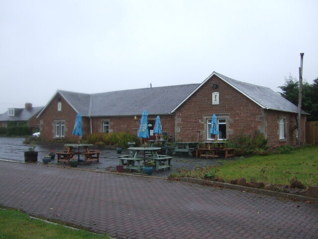
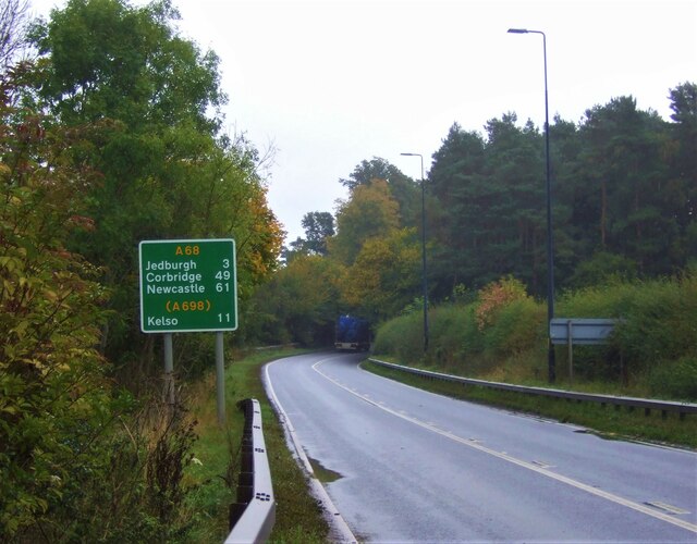
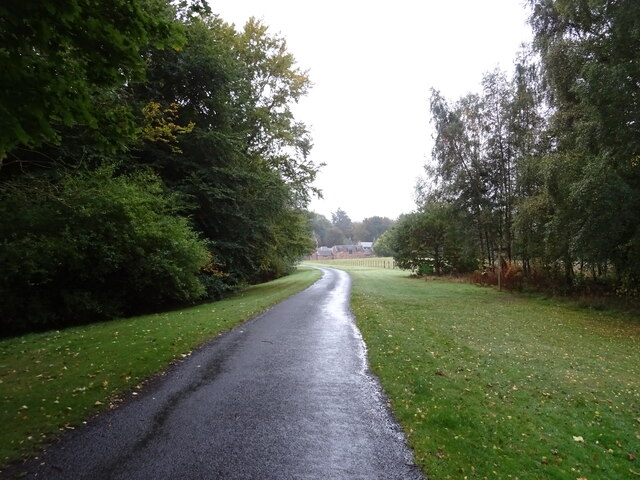
Weavers Clump Images
Images are sourced within 2km of 55.519517/-2.5508044 or Grid Reference NT6525. Thanks to Geograph Open Source API. All images are credited.
Weavers Clump is located at Grid Ref: NT6525 (Lat: 55.519517, Lng: -2.5508044)
Unitary Authority: The Scottish Borders
Police Authority: The Lothians and Scottish Borders
What 3 Words
///snips.jolt.retiring. Near Jedburgh, Scottish Borders
Nearby Locations
Related Wikis

Monteviot House
Monteviot House is the early 18th century home of the Marquess of Lothian, the politician better known as Michael Ancram. It is located on the River Teviot...

Peniel Heugh
Peniel Heugh (237 m) is a hill near Ancrum and Nisbet in the Scottish Borders area of Scotland. On it stands the Waterloo Monument. == Geology == The heugh...

Waterloo Monument
The Waterloo Monument near Ancrum in the Scottish Borders is a 150-foot tower, built between 1817 and 1824 to commemorate the Battle of Waterloo. It was...

Jed Water
The Jed Water is a river and a tributary of the River Teviot in the Borders region of Scotland. In total the Jed Water is over 21.75 miles (35.00 km) long...

Jedfoot railway station
Jedfoot railway station served the town of Jedburgh, Scottish Borders, Scotland from 1856 to 1948 on the Jedburgh Railway. == History == The station opened...

Bonjedward
Bonjedward (Scottish Gaelic: Bun Jedward) is a hamlet in the Scottish Borders area of Scotland, two miles north of Jedburgh where the Jed Water joins the...

Nisbet railway station
Nisbet railway station served the hamlet of Nisbet, Scottish Borders, Scotland from 1856 to 1948, on the Jedburgh Railway. == History == The station opened...

Nisbet, Scottish Borders
Nisbet is a small hamlet on the B6400, in Roxburghshire, along the River Teviot, in the Scottish Borders area of Scotland. It is located 5.5 kilometres...
Have you been to Weavers Clump?
Leave your review of Weavers Clump below (or comments, questions and feedback).