Chance's Pitch
Settlement in Herefordshire
England
Chance's Pitch
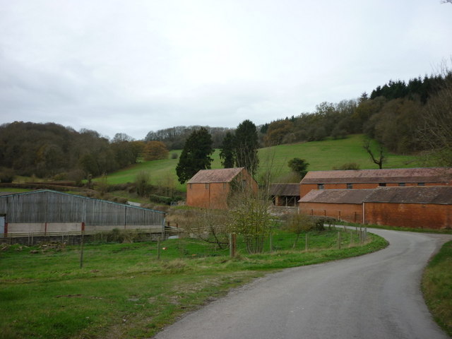
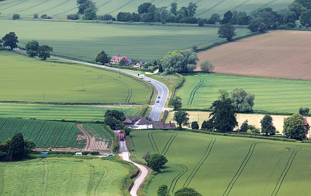
Chance's Pitch is a charming village located in the county of Herefordshire, England. Situated in the rural heartland of the county, it is surrounded by picturesque countryside and offers a serene and tranquil atmosphere. The village is nestled within the Wye Valley Area of Outstanding Natural Beauty, boasting breathtaking views and an abundance of outdoor activities.
The architecture of Chance's Pitch reflects its rich history, with many of its buildings dating back to the 17th and 18th centuries. The village is predominantly made up of traditional stone cottages, giving it a quintessentially English feel. The local church, St. Mary's, is a notable landmark, displaying beautiful stained glass windows and a quaint churchyard.
Despite its small size, Chance's Pitch offers a variety of amenities to cater to its residents and visitors. There is a cozy village pub, The Pitcher's Arms, which serves delicious food and local ales, providing a warm and friendly atmosphere for locals and tourists alike. Additionally, the village has a well-stocked village shop, offering essential groceries and local produce.
Nature enthusiasts will find themselves immersed in the stunning surroundings of Chance's Pitch. The village is surrounded by rolling hills, lush green meadows, and winding rivers, providing ample opportunities for hiking, cycling, and fishing. The nearby Herefordshire Wildlife Trust Nature Reserve is a haven for birdwatchers and wildlife enthusiasts.
In conclusion, Chance's Pitch is a picturesque village that offers a peaceful retreat in the heart of Herefordshire. With its charming architecture, natural beauty, and warm community spirit, it is an idyllic destination for those seeking a rural escape.
If you have any feedback on the listing, please let us know in the comments section below.
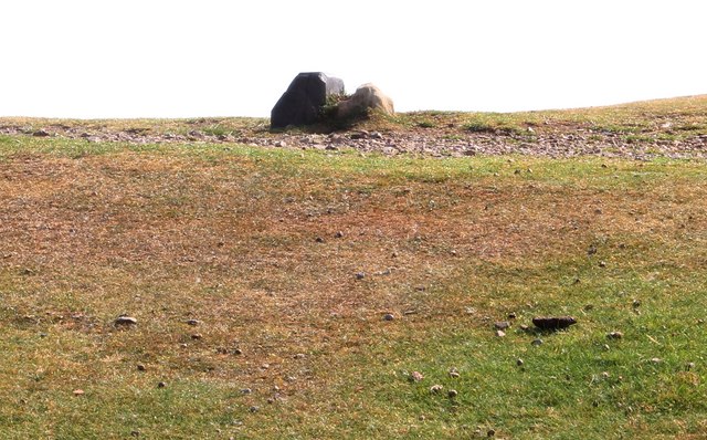
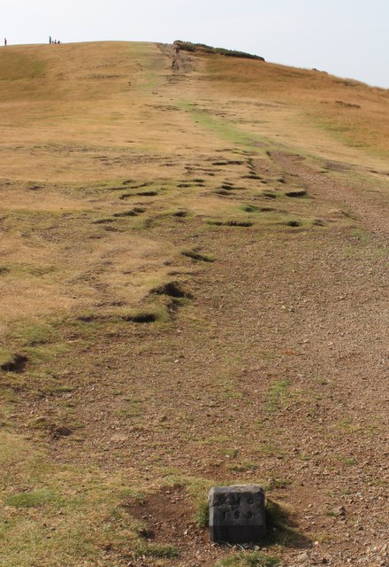
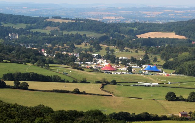
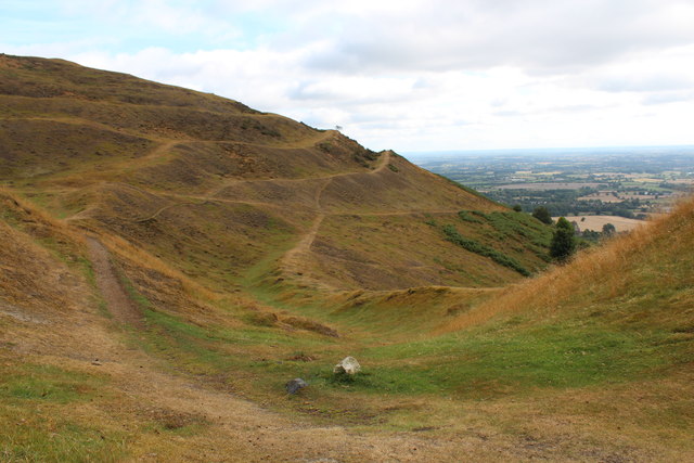
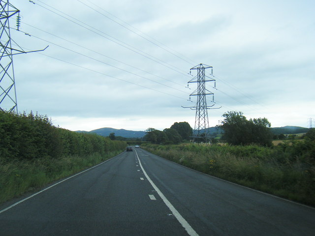
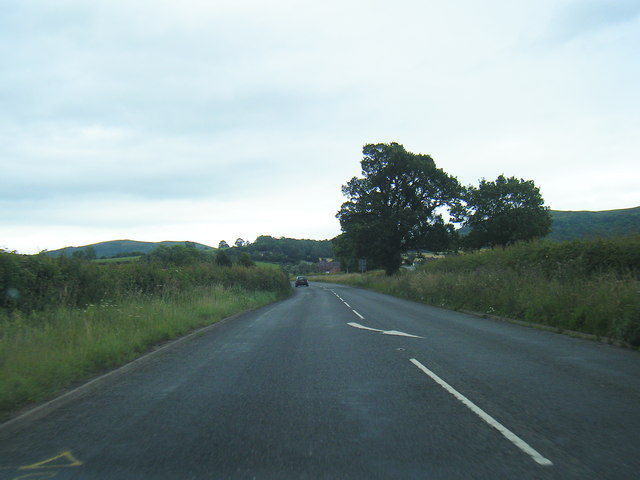
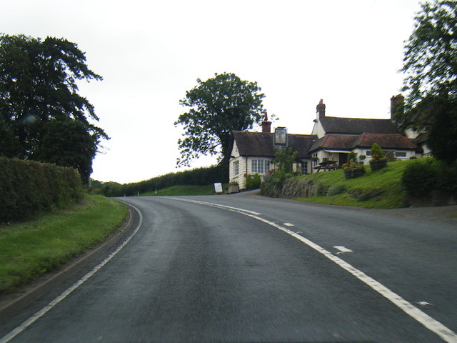
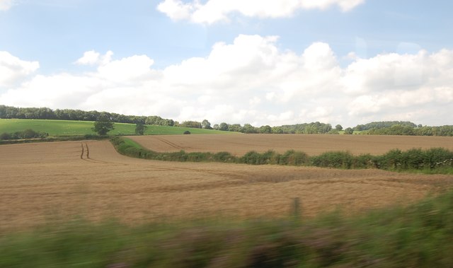
Chance's Pitch Images
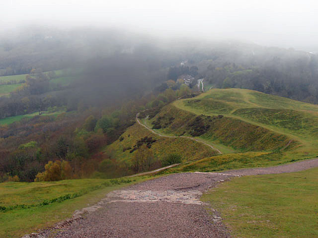
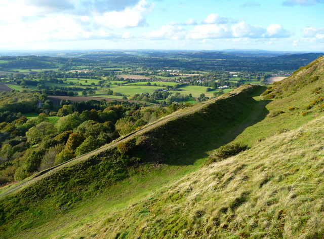
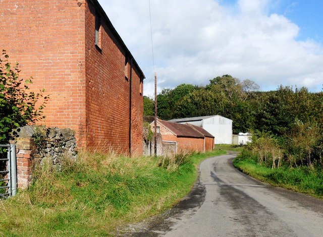
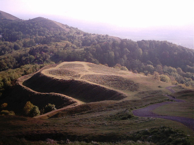
Images are sourced within 2km of 52.057766/-2.3806201 or Grid Reference SO7440. Thanks to Geograph Open Source API. All images are credited.


Chance's Pitch is located at Grid Ref: SO7440 (Lat: 52.057766, Lng: -2.3806201)
Unitary Authority: County of Herefordshire
Police Authority: West Mercia
What 3 Words
///navigate.carry.revamping. Near Ledbury, Herefordshire
Nearby Locations
Related Wikis
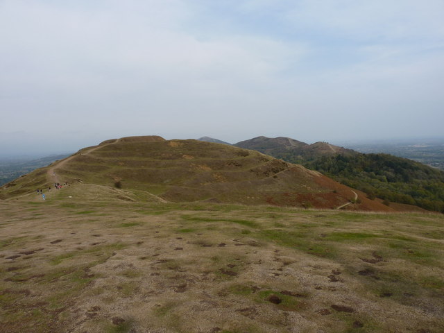
Herefordshire Beacon
The Herefordshire Beacon is one of the highest peaks of the Malvern Hills. It is surrounded by a British Iron Age hill fort earthwork known as British...

British Camp
British Camp is an Iron Age hill fort located at the top of Herefordshire Beacon in the Malvern Hills. The hill fort is protected as a Scheduled Ancient...

The Elms School, Colwall
The Elms School is a co-educational private boarding prep school located in Colwall, Herefordshire, England. Including the Early Years and Pre-Prep departments...

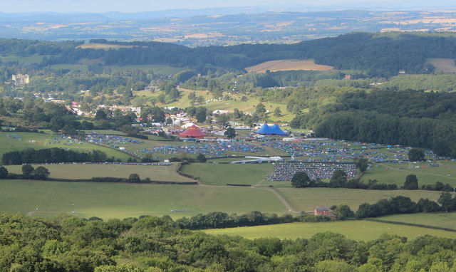
Electromagnetic Field (festival)
Electromagnetic Field (also known as EMF, or EMF Camp) is a camping festival in the UK, held every two years, for hackers, geeks, engineers and scientists...
Nearby Amenities
Located within 500m of 52.057766,-2.3806201Have you been to Chance's Pitch?
Leave your review of Chance's Pitch below (or comments, questions and feedback).