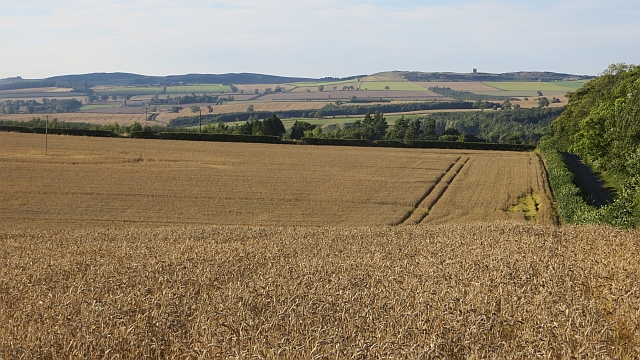
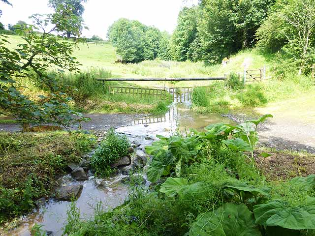
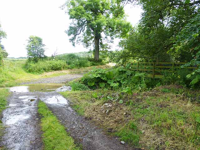
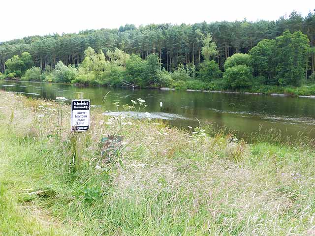
Rutherford Strip

Wood, Forest in Roxburghshire

Scotland

Rutherford Strip

Field entrance near Pirnie
Field entrance near Pirnie Credit: JThomas

The requested URL returned error: 429 Too Many Requests

If you have any feedback on the listing, please let us know in the comments section below.

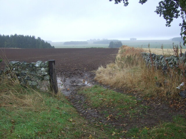
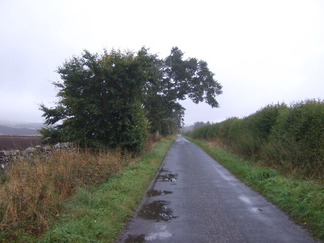
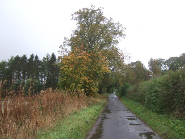
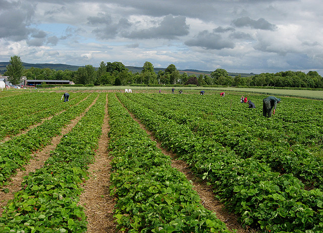
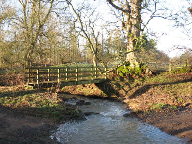
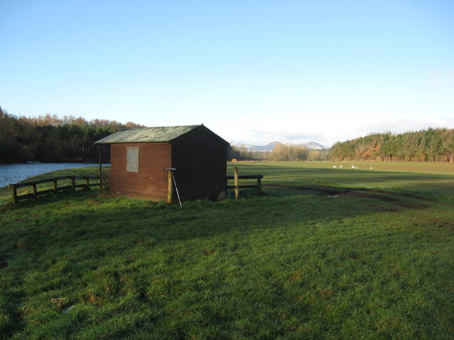
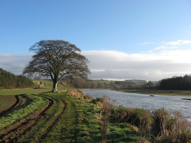
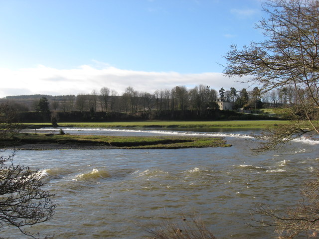
Rutherford Strip Images

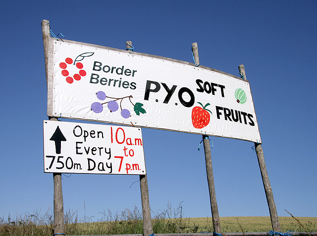
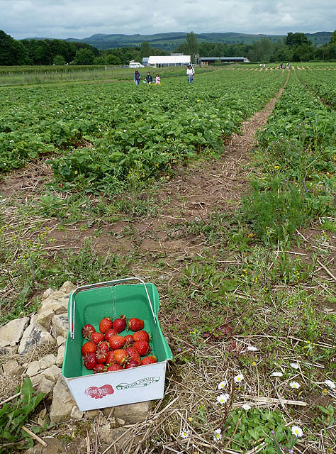
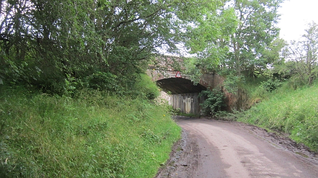
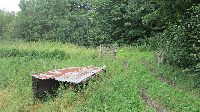
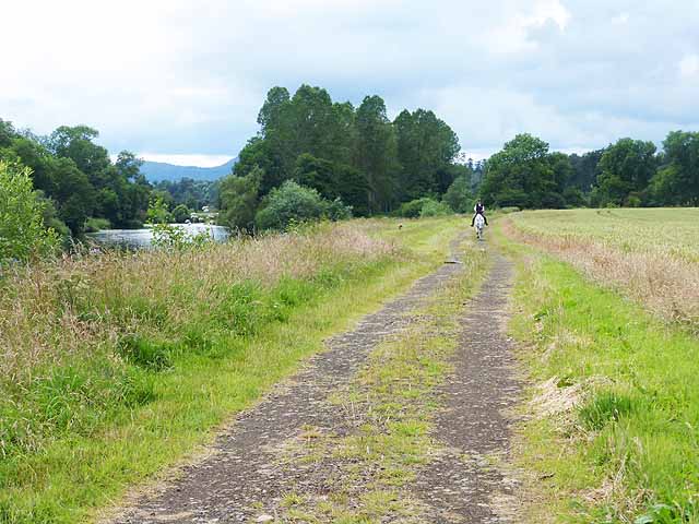
Images are sourced within 2km of 55.565288/-2.5667462 or Grid Reference NT6430. Thanks to Geograph Open Source API. All images are credited.

Field entrance near Pirnie
Minor road towards Pirnie
Minor road, Pirnie On a damp morning in Autumn.
Minor road, Pirnie
On a damp morning in Autumn.
Border Berries at Rutherford Farm Two large fields on the south side of the main farm buildings are used during the summer months as a pick your own fruit farm. The main fruits are strawberries, raspberries, gooseberries, red currants and black currants. On this occasion I was picking strawberries.
Border Berries at Rutherford Farm
Two large fields on the south side of the main farm buildings are used during the summer months as a pick your own fruit farm. The main fruits are strawberries, raspberries, gooseberries, red currants and black currants. On this occasion I was picking strawberries.
A sign for Border Berries Fruit Farm This sign is by the A699 at Broomhouse, 700m before the turn-off for Rutherford Farm where Borders Berries is located. For a view of the fruit farm, see <a href="https://www.geograph.org.uk/photo/2515759">NT6430 : Border Berries at Rutherford Farm</a>.
A sign for Border Berries Fruit Farm
This sign is by the A699 at Broomhouse, 700m before the turn-off for Rutherford Farm where Borders Berries is located. For a view of the fruit farm, see NT6430 : Border Berries at Rutherford Farm.
Border Berries A large area on the south side of Rutherford Farm buildings is used during the summer months as a pick your own fruit farm. The main fruits are strawberries, raspberries, gooseberries, red currants, black currants, Tay berries and black berries. Due to an unseasonably cold spring and recent inclement weather some fruits will ripen later than usual but strawberries were ready for picking on my visit.
Border Berries
A large area on the south side of Rutherford Farm buildings is used during the summer months as a pick your own fruit farm. The main fruits are strawberries, raspberries, gooseberries, red currants, black currants, Tay berries and black berries. Due to an unseasonably cold spring and recent inclement weather some fruits will ripen later than usual but strawberries were ready for picking on my visit.
The "Hoot Bridge", Rutherford Overbridge which carried the Kelso Branch over a minor road. There is a sharp left on the other side - hence the owl message <a href="https://www.geograph.org.uk/photo/1988949">NT6430 : Motorists, hoot your horn!</a>.
The "Hoot Bridge", Rutherford
Overbridge which carried the Kelso Branch over a minor road. There is a sharp left on the other side - hence the owl message NT6430 : Motorists, hoot your horn!.
Kelso Branch Railway A track allows farm access to the trackbed which is used as field access here.
Kelso Branch Railway
A track allows farm access to the trackbed which is used as field access here.
Tweed flood plain near Rutherford Grassland beside the Tweed.
Tweed flood plain near Rutherford
Grassland beside the Tweed.
Bridging a Burn This bridge crosses a burn flowing out into the River Tweed near Oldmill Island downstream from Mertoun House
Bridging a Burn
This bridge crosses a burn flowing out into the River Tweed near Oldmill Island downstream from Mertoun House
Fishermans Hut This refuge for fisherfolk sits on the banks of the River Tweed downstream from the Mertoun House Estate. The white birds are mute swans.
Fishermans Hut
This refuge for fisherfolk sits on the banks of the River Tweed downstream from the Mertoun House Estate. The white birds are mute swans.
'In Isolation' This fine specimen of a Beech Tree stands close to the River Tweed near Dalcove Braes.
'In Isolation'
This fine specimen of a Beech Tree stands close to the River Tweed near Dalcove Braes.
The Weir at Rutherford Lodge Crossing the Tweed from bank to bank this weir may well be the longest on the river. In spate conditions it's certainly one of the noisiest.
The Weir at Rutherford Lodge
Crossing the Tweed from bank to bank this weir may well be the longest on the river. In spate conditions it's certainly one of the noisiest.
Wheat, Rutherford The excellent harvest weather of 2013.
Wheat, Rutherford
The excellent harvest weather of 2013.
Ford on the Border Abbeys Way The Borders Abbeys Way,  a circular long-distance walking route in the Scottish Borders here crosses a small stream just above its confluence with the River Tweed.
Ford on the Border Abbeys Way
The Borders Abbeys Way, a circular long-distance walking route in the Scottish Borders here crosses a small stream just above its confluence with the River Tweed.
Ford on the Border Abbeys Way The Borders Abbeys Way, a circular long-distance walking route in the Scottish Borders here crosses a small stream just above its confluence with the River Tweed. Access to the alternative footbridge is somewhat overgrown.
Ford on the Border Abbeys Way
The Borders Abbeys Way, a circular long-distance walking route in the Scottish Borders here crosses a small stream just above its confluence with the River Tweed. Access to the alternative footbridge is somewhat overgrown.
Limit of fishing rights on the River Tweed The notice marks the  boundary between two fishing beats on the River Tweed.
Limit of fishing rights on the River Tweed
The notice marks the boundary between two fishing beats on the River Tweed.
Horse rider on the Border Abbeys Way The Borders Abbeys Way, a circular long-distance walking route in the Scottish Borders here runs alongside the River Tweed. A field of wheat to the right.
Horse rider on the Border Abbeys Way
The Borders Abbeys Way, a circular long-distance walking route in the Scottish Borders here runs alongside the River Tweed. A field of wheat to the right.
Show me another place!

Rutherford Strip is located at Grid Ref: NT6430 (Lat: 55.565288, Lng: -2.5667462)

Unitary Authority: The Scottish Borders

Police Authority: The Lothians and Scottish Borders

What 3 Words

///appointed.reduction.affair. Near Saint Boswells, Scottish Borders

Nearby Locations

Rutherford Strip

Related Wikis

Rutherford railway station

Rutherford railway station served the parish of Maxton, Roxburghshire, Scotland from 1851 to 1964 on the Kelso Line. == History == The station opened in...

Borders Abbeys Way

The Borders Abbeys Way is a long-distance footpath in the Scottish Borders area of Scotland. It is a circular walkway and is 109 kilometres (68 mi) in...

Maxton railway station

Maxton railway station served the hamlet of Maxton, Roxburghshire, Scotland from 1851 to 1964 on the Kelso Line. == History == The station opened in June...

Mertoun

Mertoun is a parish in the south-west of the historic county of Berwickshire in the Scottish Borders area of Scotland. Together with the parish of Maxton...

Nearby Amenities

Located within 500m of 55.565288,-2.5667462
Rutherford
Place: hamlet
Lat/Long: 55.5657211/-2.5674391
Noexit: yes
Lat/Long: 55.5650508/-2.5658631
Natural: peak
Lat/Long: 55.5615376/-2.5645489
Power: pole
Lat/Long: 55.5688988/-2.5623918
Power: pole
Lat/Long: 55.5689017/-2.5627652
Power: pole
Lat/Long: 55.5688814/-2.5639548
Power: pole
Lat/Long: 55.5688697/-2.5651831
Power: pole
Lat/Long: 55.5688595/-2.5663907
Power: pole
Lat/Long: 55.5688027/-2.569679
Power: pole
Lat/Long: 55.5688378/-2.5676499
Power: pole
Lat/Long: 55.5652967/-2.5678997
Power: pole
Lat/Long: 55.5653782/-2.5673667
Power: pole
Lat/Long: 55.5654481/-2.5667281
Power: pole
Lat/Long: 55.565652/-2.5658242
Power: pole
Lat/Long: 55.5661237/-2.5662208
Power: pole
Lat/Long: 55.5664994/-2.5665324
Power: pole
Lat/Long: 55.5670862/-2.5668156
Power: pole
Lat/Long: 55.5676627/-2.5670808
Power: pole
Lat/Long: 55.5682291/-2.5673383
Power: pole
Lat/Long: 55.5693778/-2.5679177
Power: pole
Lat/Long: 55.5687751/-2.5708454
The data included in this document is from www.openstreetmap.org. The data is made available under ODbL.

Have you been to Rutherford Strip?

Leave your review of Rutherford Strip below (or comments, questions and feedback).