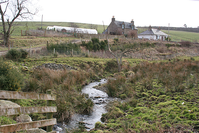
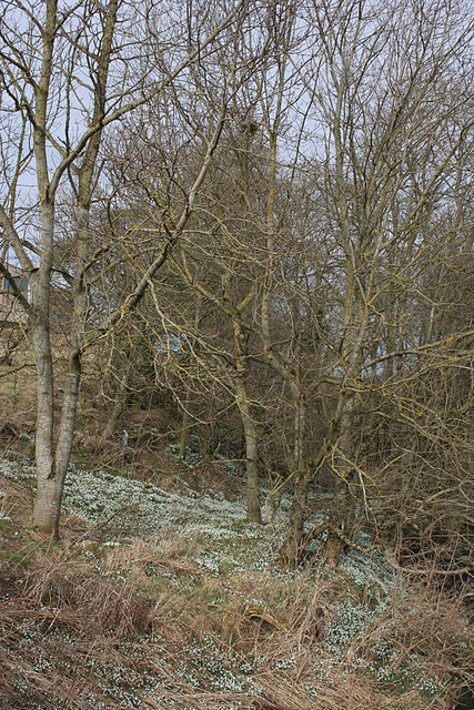
Logg Wood
Wood, Forest in Banffshire
Scotland
Logg Wood
The requested URL returned error: 429 Too Many Requests
If you have any feedback on the listing, please let us know in the comments section below.
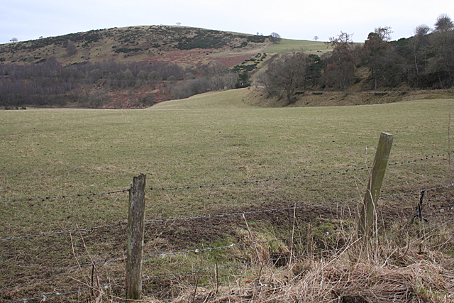
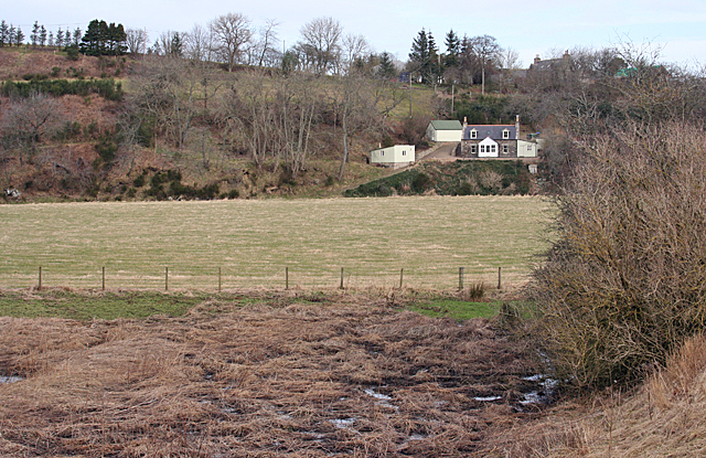
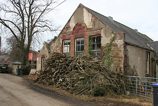
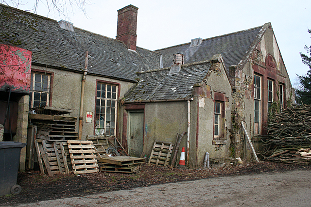
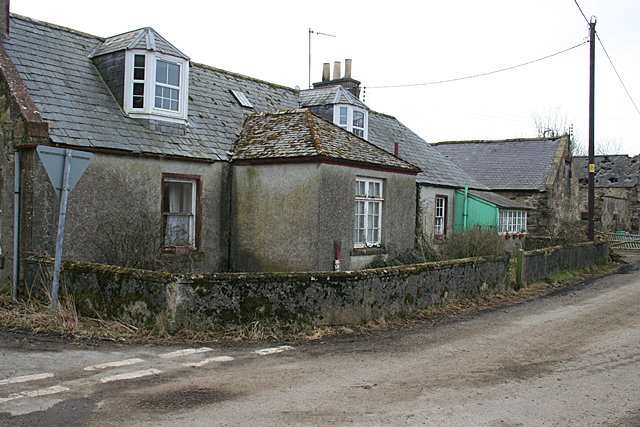
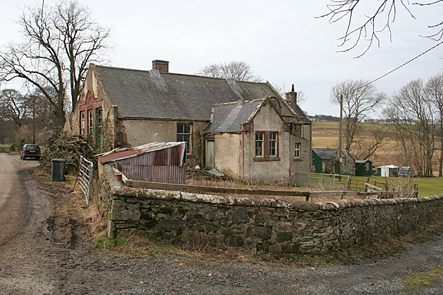
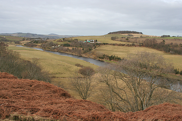
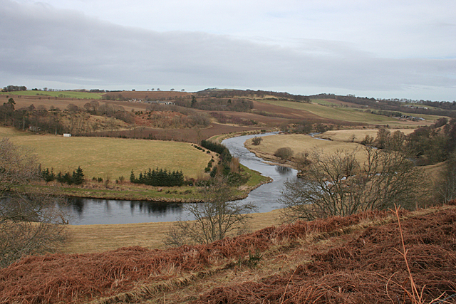
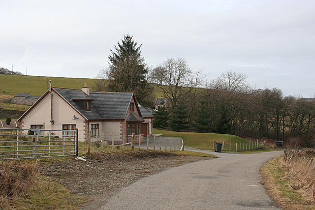
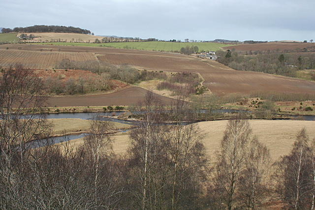
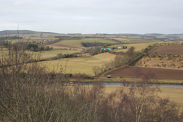
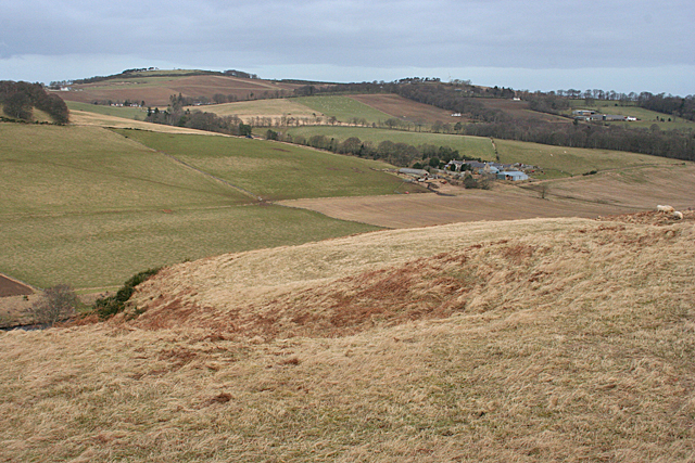
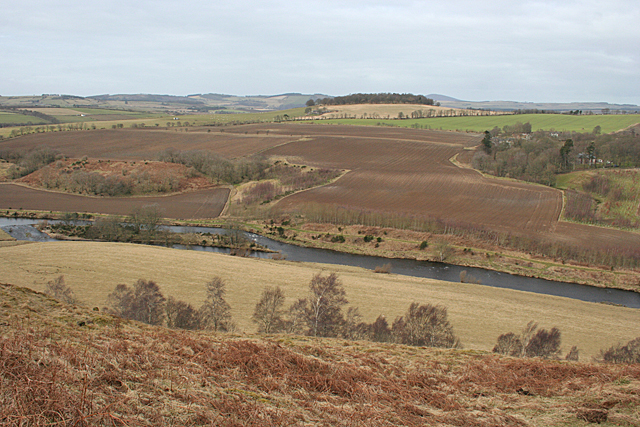
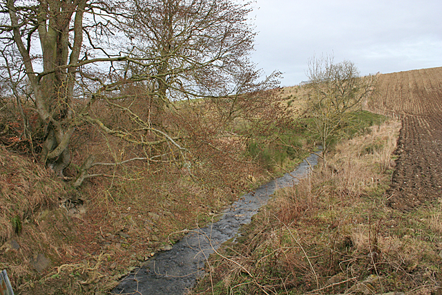
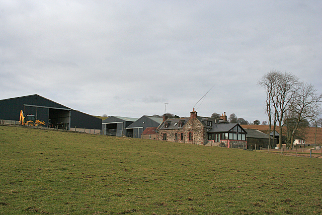
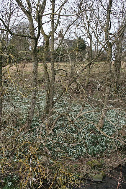
Logg Wood Images
Images are sourced within 2km of 57.516892/-2.5967352 or Grid Reference NJ6447. Thanks to Geograph Open Source API. All images are credited.
Logg Wood is located at Grid Ref: NJ6447 (Lat: 57.516892, Lng: -2.5967352)
Unitary Authority: Aberdeenshire
Police Authority: North East
What 3 Words
///banquets.hardens.chat. Near Aberchirder, Aberdeenshire
Nearby Locations
Related Wikis

Inverkeithny
Inverkeithny is a village in the Formartine area of Aberdeenshire, Scotland. The village lies near where the Burn of Forgue flows into the River Deveron...

Bogton
Bogton is a rural area in Aberdeenshire, Scotland. To the south is Whitehill Wood and megalithic circle. == References ==
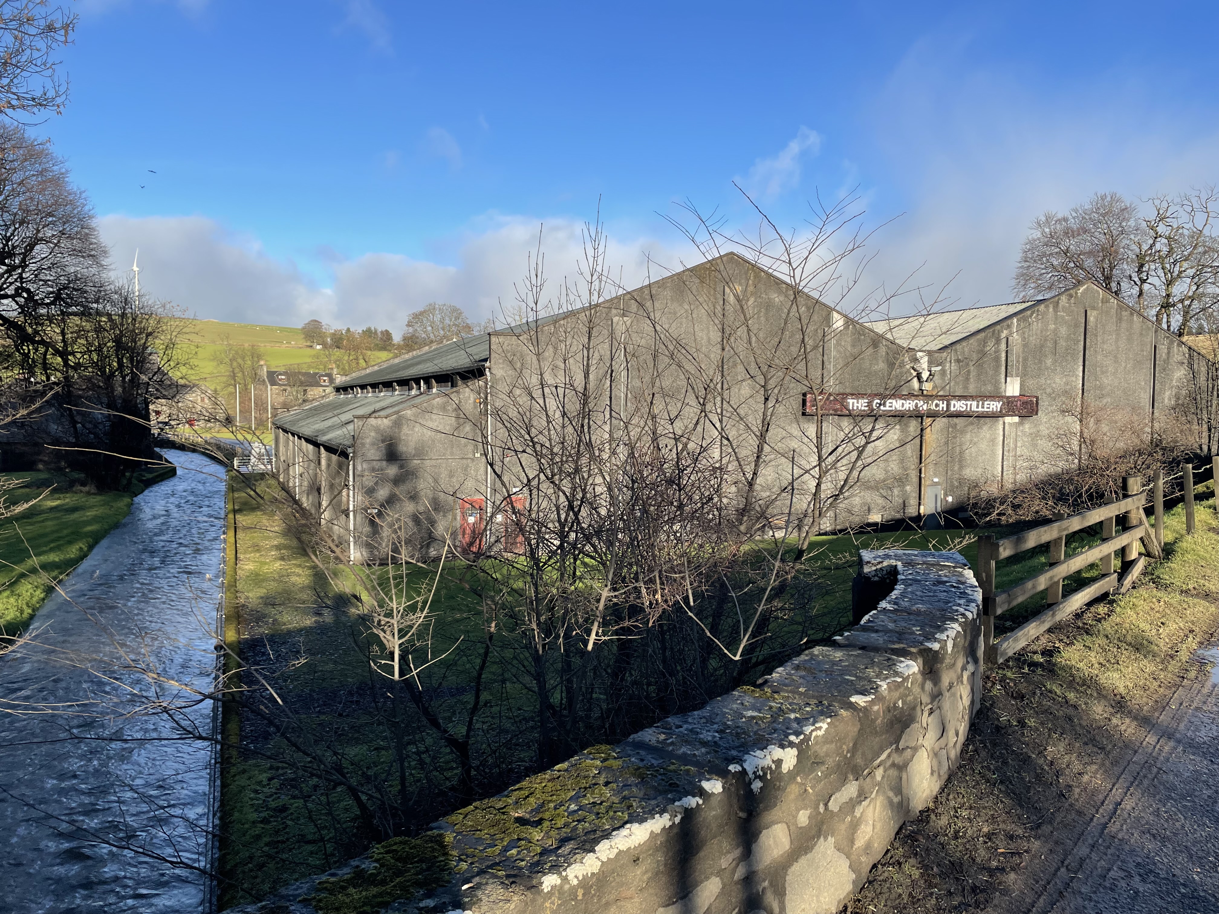
Glendronach distillery
Glendronach distillery is a Scottish whisky distillery located near Forgue, by Huntly, Aberdeenshire, in the Highland whisky district. It was owned by...

Whitehill Wood, Aberdeenshire
Whitehill Wood is a wood and megalithic stone circle in Aberdeenshire, Scotland, located off the B9025 road between Aberchirder and Turriff and between...
Have you been to Logg Wood?
Leave your review of Logg Wood below (or comments, questions and feedback).