Lightfield Strip
Wood, Forest in Berwickshire
Scotland
Lightfield Strip
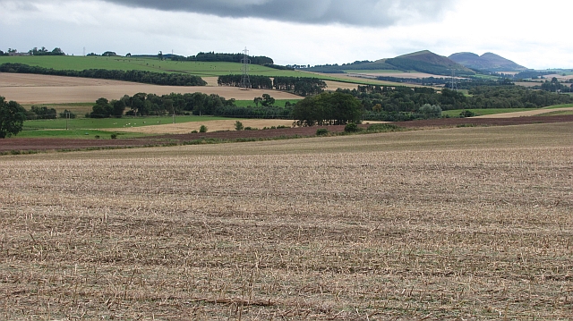
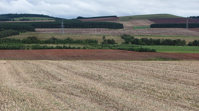
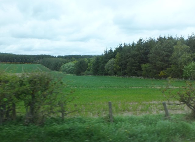
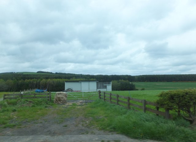
Lightfield Strip, located in Berwickshire, is a picturesque wood and forest area that offers a serene and captivating experience for nature enthusiasts. Situated in the southern part of Scotland, this enchanting landscape covers a vast expanse of approximately 500 acres.
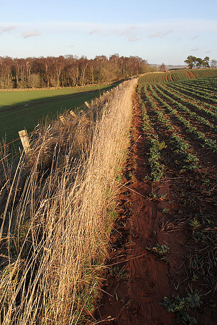
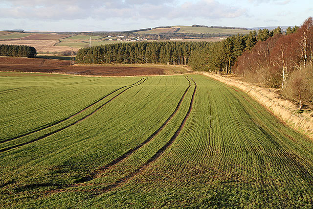
The woodlands of Lightfield Strip are characterized by their diverse range of trees, including oak, birch, ash, and beech, creating a lush and verdant atmosphere throughout the year. The forest floor is adorned with a vibrant array of wildflowers and ferns, adding to the natural beauty of the surroundings.
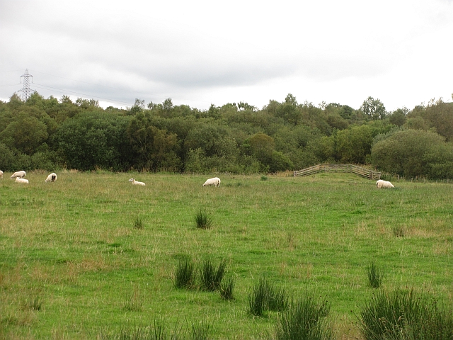
The area is renowned for its exceptional biodiversity, with a rich variety of flora and fauna. Visitors can spot numerous species of birds, such as woodpeckers, owls, and various songbirds, making it a haven for birdwatching enthusiasts. The forest is also home to mammals like deer, foxes, and squirrels, which can be observed in their natural habitat.
Lightfield Strip offers a network of well-maintained walking trails that wind through the woods, allowing visitors to explore the area at their own pace. These trails cater to various skill levels, from easy strolls to more challenging hikes. Along the way, hikers can revel in the tranquil ambiance, breathe in the fresh air, and revel in the captivating natural surroundings.
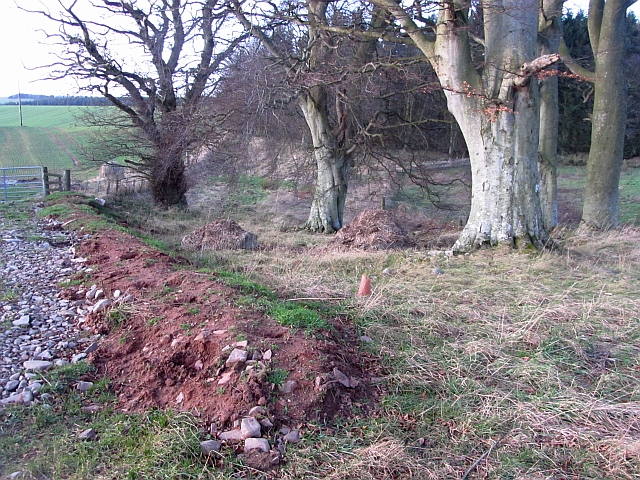
In addition to its natural wonders, Lightfield Strip also boasts a rich cultural heritage. Ruins of an ancient castle can be found within the forest, providing glimpses into the area's history and captivating the imagination of visitors.
Overall, Lightfield Strip in Berwickshire is a captivating destination for nature lovers, offering a harmonious blend of scenic beauty, biodiversity, and cultural significance.
If you have any feedback on the listing, please let us know in the comments section below.
Lightfield Strip Images
Images are sourced within 2km of 55.669999/-2.579436 or Grid Reference NT6341. Thanks to Geograph Open Source API. All images are credited.


Lightfield Strip is located at Grid Ref: NT6341 (Lat: 55.669999, Lng: -2.579436)
Unitary Authority: The Scottish Borders
Police Authority: The Lothians and Scottish Borders
What 3 Words
///paused.arranger.deployed. Near Earlston, Scottish Borders
Nearby Locations
Related Wikis

Gordon Moss
Gordon Moss is a nature reserve near Gordon, in the Scottish Borders area of Scotland, in the former Berwickshire. The moss is situated one mile west of...

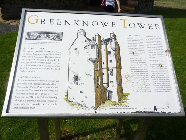
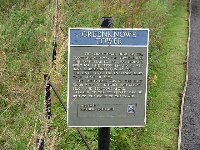
Greenknowe Tower
Greenknowe Tower is a 16th-century tower house, located just west of the village of Gordon, in the Scottish Borders. Although a roofless ruin, the stonework...

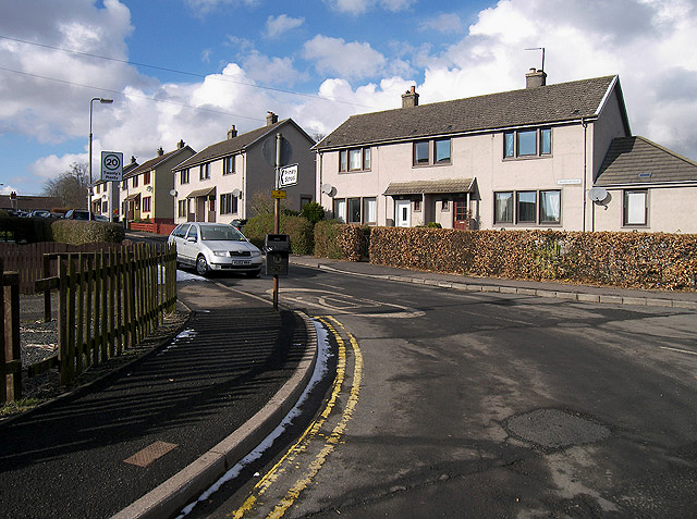
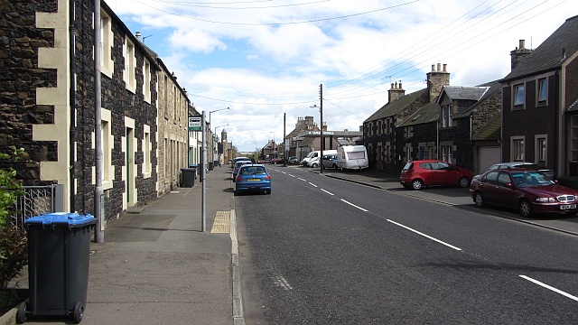
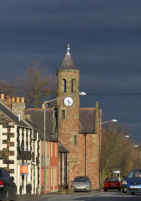
Gordon, Scottish Borders
Gordon is a village in the Scottish Borders area of Scotland, within the historic county of Berwickshire. The village sits on the crossroads of the A6105...

Gordon (NBR) railway station
Gordon railway station served the village of Gordon, Scottish Borders, Scotland from 1863 to 1948 on the Berwickshire Railway. == History == The station...
Nearby Amenities
Located within 500m of 55.669999,-2.579436Have you been to Lightfield Strip?
Leave your review of Lightfield Strip below (or comments, questions and feedback).