Greypeel Plantation

Wood, Forest in Roxburghshire

Scotland

Greypeel Plantation

Road, farmland
Road, farmland Credit: Alex McGregor

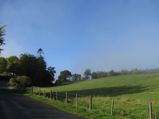
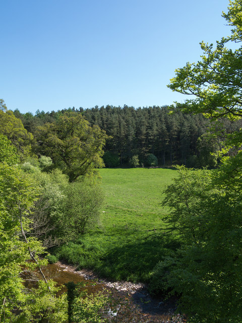
Greypeel Plantation is a picturesque woodland situated in the heart of Roxburghshire, Scotland. Covering an expansive area of lush greenery, it is a haven for nature enthusiasts and those seeking tranquility amidst a bustling world. The plantation is located just a few miles outside of the charming town of Hawick, making it easily accessible for visitors.

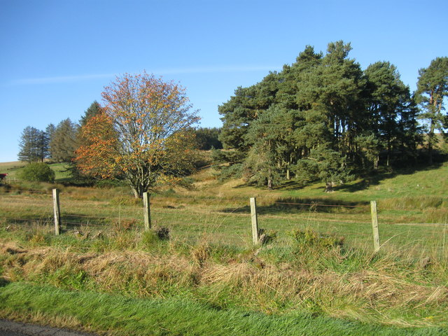
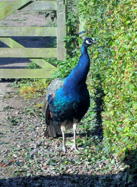
The woodland is predominantly composed of native tree species such as oak, birch, and beech, creating a diverse and thriving ecosystem. The abundance of vegetation provides a habitat for a wide array of wildlife, including red squirrels, roe deer, and various species of birds. As such, it serves as an important conservation area, contributing to the preservation of local flora and fauna.

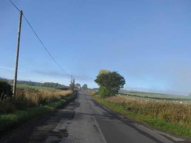
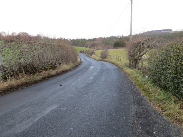
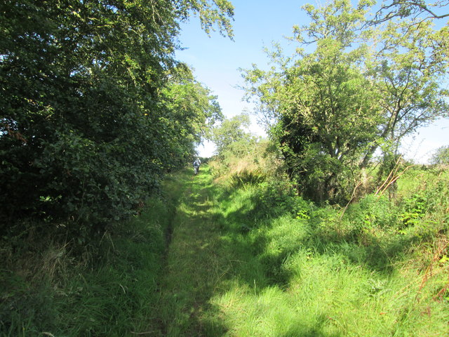
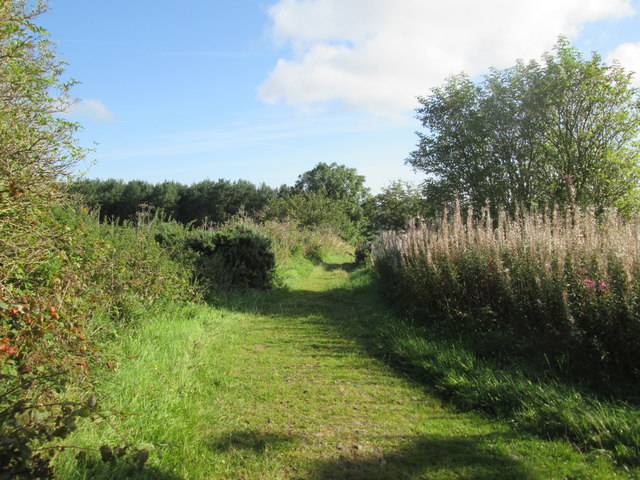
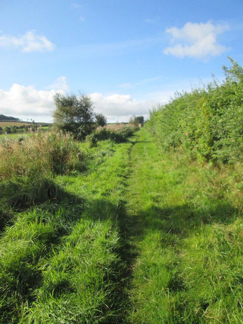
Greypeel Plantation offers a range of recreational activities for visitors to enjoy. Numerous walking trails wind their way through the woodland, inviting explorers to delve into its enchanting depths. These trails vary in difficulty, catering to both casual strollers and seasoned hikers. Along the way, walkers can immerse themselves in the tranquility of the surroundings, breathing in the fresh woodland air and listening to the soothing sounds of nature.

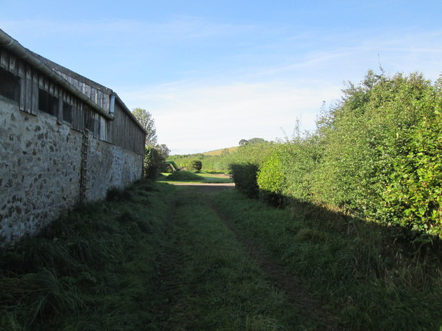
The plantation also features designated picnic areas, allowing visitors to pause and enjoy a relaxing meal amidst the beauty of the woodland. Additionally, there are benches strategically placed throughout the trails, providing opportunities to rest and appreciate the stunning views.

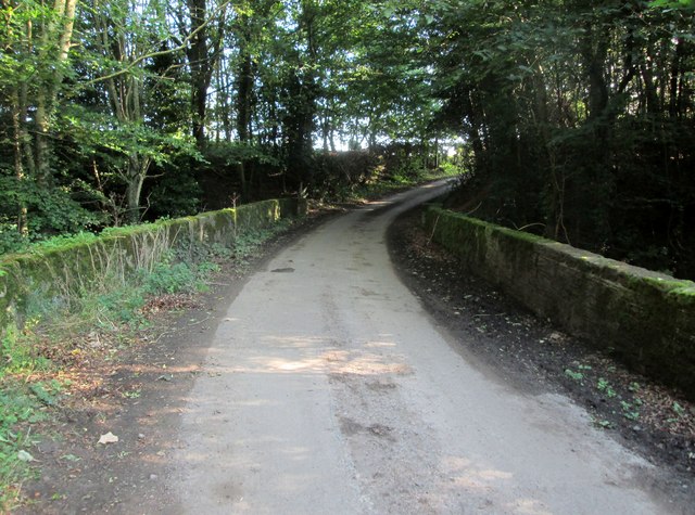
With its natural beauty, diverse wildlife, and recreational offerings, Greypeel Plantation stands as a testament to the enduring allure of Scotland's woodlands.

If you have any feedback on the listing, please let us know in the comments section below.

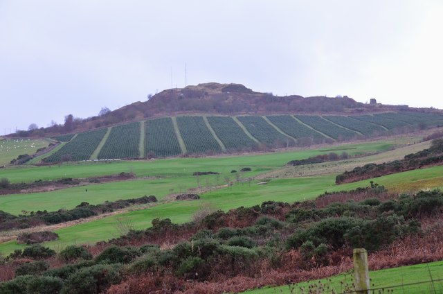
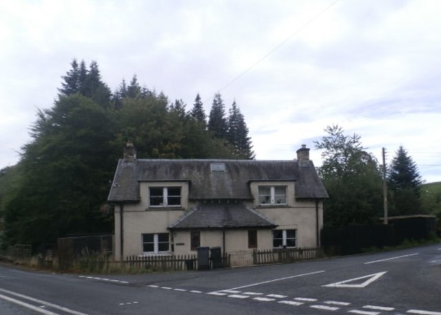
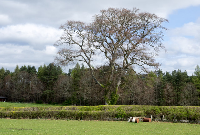
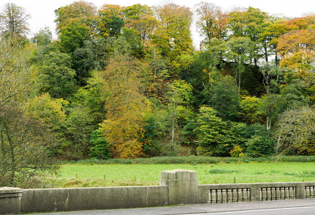
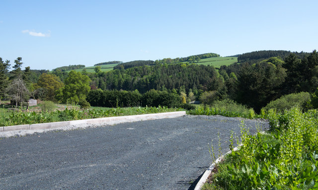
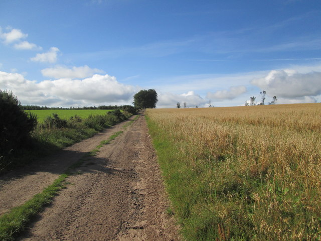
Greypeel Plantation Images

Images are sourced within 2km of 55.451886/-2.5753481 or Grid Reference NT6317. Thanks to Geograph Open Source API. All images are credited.

Road, farmland
Road, farmland
B6357 southbound
B6357 southbound
Swinnie Moor
Swinnie Moor
Jedburgh Circular Riding Route near the golf course Here the route crosses the B6358 from Denholm near the golf clubhouse.
Jedburgh Circular Riding Route near the golf course
Here the route crosses the B6358 from Denholm near the golf clubhouse.
Dunion Hill Dunion Hill is a secondary summit NE of Black Law. Its NE side, seen here from near the golf course, has been planted with blocks of trees.
Dunion Hill
Dunion Hill is a secondary summit NE of Black Law. Its NE side, seen here from near the golf course, has been planted with blocks of trees.
Linthaugh Cottage
Linthaugh Cottage
Hedges and oil drums The A68 runs between the two hedge lines. The oil drums appear to be part of a jump for horses - there are other similar things in the field.
Hedges and oil drums
The A68 runs between the two hedge lines. The oil drums appear to be part of a jump for horses - there are other similar things in the field.
Deciduous woodland on slope beyond Hundalee Bridge The trees are on a steep slope with exposed rock. One of the parapets of Hundalee Bridge is in the foreground.
Deciduous woodland on slope beyond Hundalee Bridge
The trees are on a steep slope with exposed rock. One of the parapets of Hundalee Bridge is in the foreground.
A road going nowhere A curious stretch of road! It's broad as it leaves the A68 to the west but it ends within perhaps 30 metres of the junction and the height of the kerbstones and roughness of surface shows that no 'black top' has been applied. Beyond the road end a slope descends so steeply towards the Jed Water that is seems unlikely that it would continue directly in that direction.
A road going nowhere
A curious stretch of road! It's broad as it leaves the A68 to the west but it ends within perhaps 30 metres of the junction and the height of the kerbstones and roughness of surface shows that no 'black top' has been applied. Beyond the road end a slope descends so steeply towards the Jed Water that is seems unlikely that it would continue directly in that direction.
Jed Water below the A68 The river, Jed Water, flowing below a steep slope just south of Jedburgh.
Jed Water below the A68
The river, Jed Water, flowing below a steep slope just south of Jedburgh.
Road (B6357) near Lintalee Looking north-eastward towards the A68.
Road (B6357) near Lintalee
Looking north-eastward towards the A68.
Track  and  outbuildings  at  Todlaw  Farm Borders Abbeys Way south of Jedburgh, grass track goes onto farm access road
Track and outbuildings at Todlaw Farm
Borders Abbeys Way south of Jedburgh, grass track goes onto farm access road
Bridge  on  access  road  from  Hundalee  Farm There is a date stone 1971 on the left hand side, I presume that this replaced a previous bridge
Bridge on access road from Hundalee Farm
There is a date stone 1971 on the left hand side, I presume that this replaced a previous bridge
Peacock  at  Hundalee  House Just walking around the driveway, take care parking
Peacock at Hundalee House
Just walking around the driveway, take care parking
Borders  Abbeys  Way  northwest  of  Hundalee
Borders Abbeys Way northwest of Hundalee
This  track  goes  from  fields  out  to  the  B6358 A T junction of track and footpaths, the Borders Abbeys Way goes in the opposite direction from this track
This track goes from fields out to the B6358
A T junction of track and footpaths, the Borders Abbeys Way goes in the opposite direction from this track
Field  edge  track  toward  Todlaw  Wells  Plantation Borders Abbeys Way
Field edge track toward Todlaw Wells Plantation
Borders Abbeys Way
Field  track  to  Todlaw  Wells  Plantation Borders Abbeys Way
Field track to Todlaw Wells Plantation
Borders Abbeys Way
Show me another place!

Greypeel Plantation is located at Grid Ref: NT6317 (Lat: 55.451886, Lng: -2.5753481)

Unitary Authority: The Scottish Borders

Police Authority: The Lothians and Scottish Borders

What 3 Words

///impulse.flags.nightlife. Near Jedburgh, Scottish Borders

Nearby Locations

Greypeel Plantation

Related Wikis

Ferniehirst Castle

Ferniehirst Castle (sometimes spelled Ferniehurst) is an L-shaped construction on the east bank of the Jed Water, about a mile and a half south of Jedburgh...

Jedforest

Jedforest is an historic forest in the Scottish Borders, that has been heavily wooded in the past. It is close to Jed Water and the town of Jedburgh, from...

Capon Oak Tree

The Capon Oak Tree is one of the last surviving trees of the ancient Scottish Jedforest. It is close to the A68 and Jed Water, a small river which has...

Bairnkine

Bairnkine is a hamlet on the Jed Water in the Scottish Borders area of Scotland, on the A68, south of Jedburgh. Other places nearby include Abbotrule,...

Nearby Amenities

Located within 500m of 55.451886,-2.5753481
Power: pole
Lat/Long: 55.452276/-2.5679956
Power: pole
Lat/Long: 55.4513458/-2.5694196
Power: pole
Lat/Long: 55.4504887/-2.5706916
Power: pole
Lat/Long: 55.4493817/-2.5737661
Power: pole
Lat/Long: 55.4482616/-2.574039
The data included in this document is from www.openstreetmap.org. The data is made available under ODbL.

Have you been to Greypeel Plantation?

Leave your review of Greypeel Plantation below (or comments, questions and feedback).