Dalhaikie Wood

Wood, Forest in Aberdeenshire

Scotland

Dalhaikie Wood

Minor road near Glassel
Minor road near Glassel Credit: Steven Brown

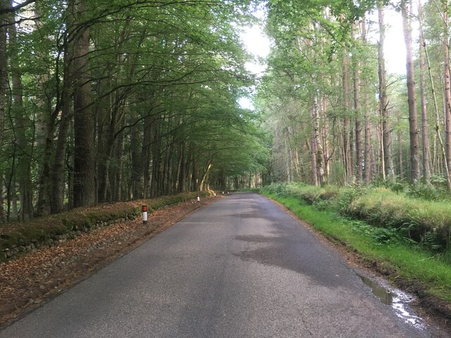
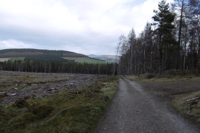
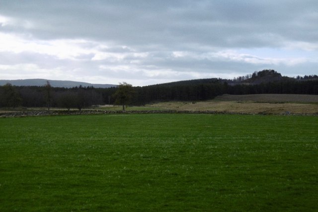
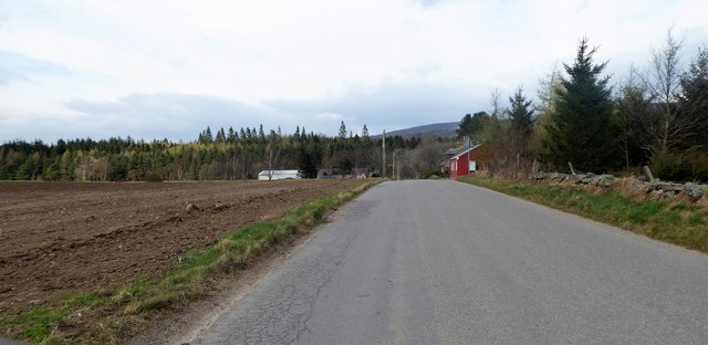
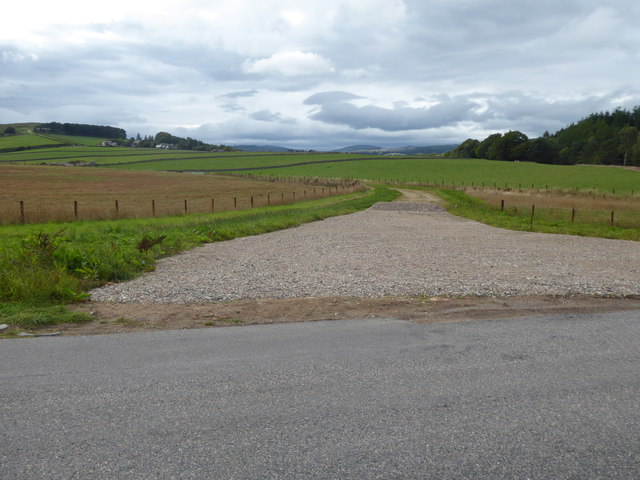
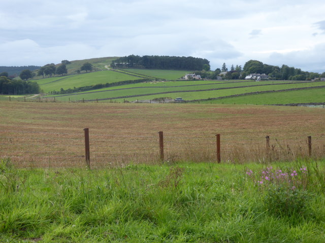
Dalhaikie Wood is a picturesque forest located in Aberdeenshire, Scotland. It covers an area of approximately 150 acres and is situated just a few miles southwest of the town of Ellon. The wood is part of the larger Pitmedden Forest and is surrounded by rolling hills and farmland.

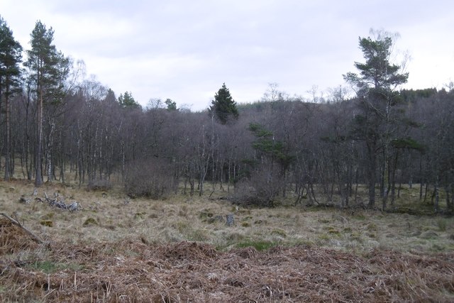
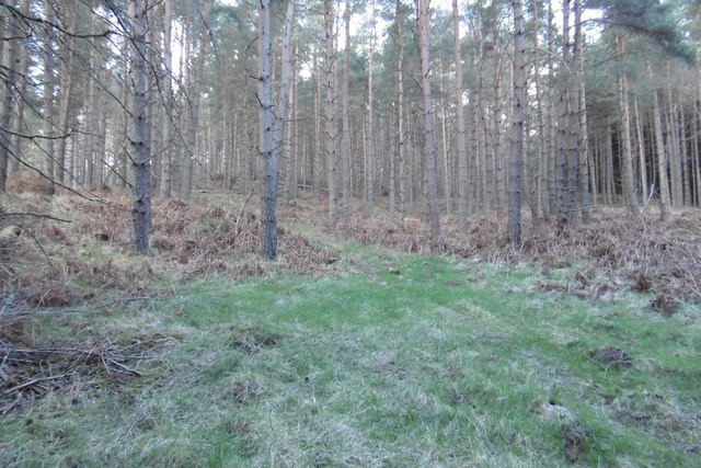
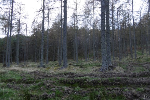
The wood is predominantly made up of a mix of native trees including Scots pine, silver birch, and oak. The dense canopy provides a haven for a diverse range of flora and fauna. During spring, the forest floor is carpeted with bluebells, adding a vibrant burst of color to the landscape.

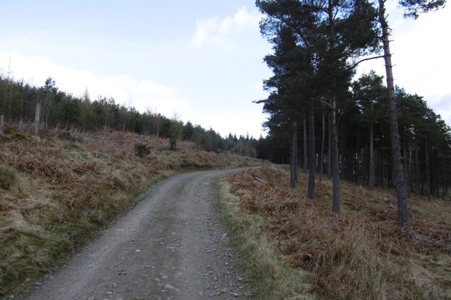
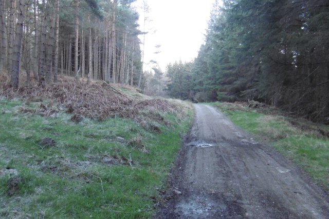
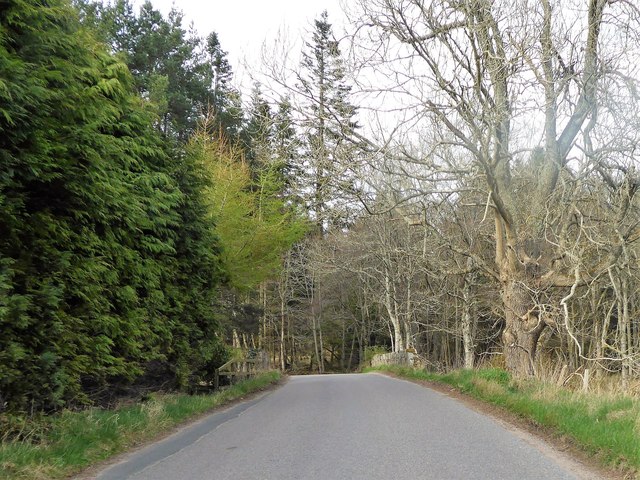
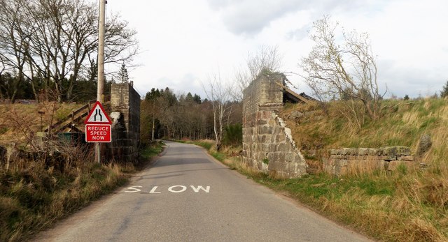
Dalhaikie Wood offers a range of walking trails, making it a popular destination for hikers and nature enthusiasts. The paths wind through the forest, offering scenic views of the surrounding countryside. Visitors can also explore the nearby Pitmedden Garden, which is known for its beautifully manicured formal gardens.

The wood is home to a variety of wildlife, including red squirrels, roe deer, and a wide array of bird species. Birdwatchers can spot species such as woodpeckers, nuthatches, and finches among the treetops.

Overall, Dalhaikie Wood is a tranquil and enchanting destination for those seeking a peaceful escape into nature. Its diverse ecosystem and stunning landscapes make it a must-visit spot for anyone exploring the Aberdeenshire region.

If you have any feedback on the listing, please let us know in the comments section below.

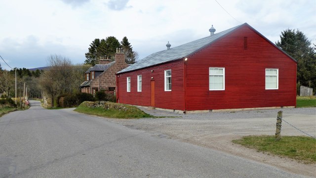
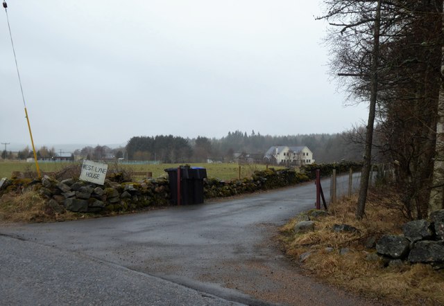
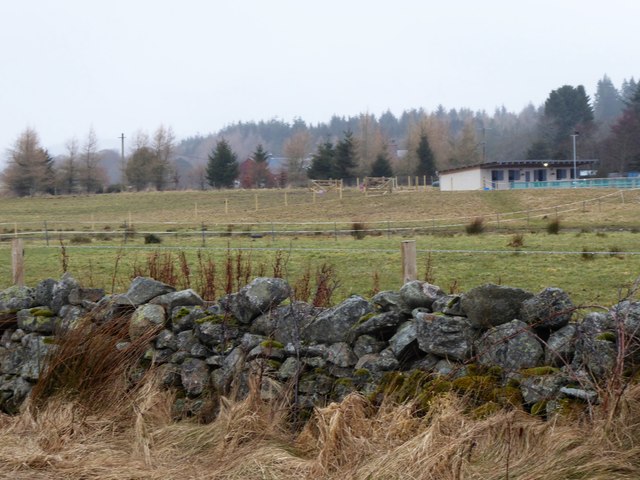
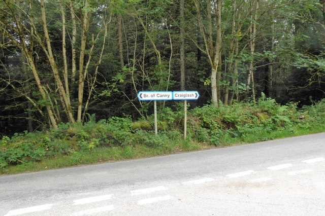
Dalhaikie Wood Images

Images are sourced within 2km of 57.075949/-2.6013308 or Grid Reference NO6398. Thanks to Geograph Open Source API. All images are credited.

Minor road near Glassel
Glassel village hall (2015) By a minor road between Torphins and Banchory. Weatherboarding a vibrant colour in this afternoon sunshine.
Glassel village hall (2015)
By a minor road between Torphins and Banchory. Weatherboarding a vibrant colour in this afternoon sunshine.
By Sluie Loch An area of open woodland and carr between the road and Sluie Loch.
By Sluie Loch
An area of open woodland and carr between the road and Sluie Loch.
Road through Sluie Woods
Pines, Sluie Woods
Pines, Sluie Woods
Larches, Sluie Woods Slopes of Ord More, near the Warlock's Stone.
Larches, Sluie Woods
Slopes of Ord More, near the Warlock's Stone.
Road through Sluie Woods Between a large felled block and Craiglash Quarry.
Road through Sluie Woods
Between a large felled block and Craiglash Quarry.
Pasture, Cockardie View in the direction of Craiglash Quarry and the woods around Sluie.
Pasture, Cockardie
View in the direction of Craiglash Quarry and the woods around Sluie.
Bridge over Beltie Burn On a minor road at Glassel; Bogarn Wood ahead.
Bridge over Beltie Burn
On a minor road at Glassel; Bogarn Wood ahead.
Dismantled Railway Bridge over minor road At Glassel; the 'road narrows' warning sign is for a blind hump-back stone bridge over the Beltie Burn a short distance ahead.
Dismantled Railway Bridge over minor road
At Glassel; the 'road narrows' warning sign is for a blind hump-back stone bridge over the Beltie Burn a short distance ahead.
Approach to Glassel village hall From near a minor road junction to its south.
Approach to Glassel village hall
From near a minor road junction to its south.
Glassel Village Hall (2017) Not much changed since 2015 (cf <a href="https://www.geograph.org.uk/photo/4628866">NO6599 : Glassel village hall (2015)</a>)
Glassel Village Hall (2017)
Not much changed since 2015 (cf NO6599 : Glassel village hall (2015))
Access to West Lyne House This 'new build' now has a name.
Access to West Lyne House
This 'new build' now has a name.
Stables and paddock, Glassel
Signpost at junction near Sunnyview Seen as arriving from Glassel. 
The present unclassified Bridge of Canny to Craiglash road was part of the route of the original North Deeside road between Kincardine O'Neil and Banchory, but long since superseded by the A93 trunk road close by to the south. (Craiglash is currently the site of a working granite quarry).
Signpost at junction near Sunnyview
Seen as arriving from Glassel. The present unclassified Bridge of Canny to Craiglash road was part of the route of the original North Deeside road between Kincardine O'Neil and Banchory, but long since superseded by the A93 trunk road close by to the south. (Craiglash is currently the site of a working granite quarry).
A new road in preparation From Glassel Village Hall towards Mains of Easter Beltie (on Hill of Beltie: top left). Track not yet mapped.
A new road in preparation
From Glassel Village Hall towards Mains of Easter Beltie (on Hill of Beltie: top left). Track not yet mapped.
View to Hill of Beltie summit (195m asl) From minor road near Glassel Village Hall.
View to Hill of Beltie summit (195m asl)
From minor road near Glassel Village Hall.
Show me another place!

Dalhaikie Wood is located at Grid Ref: NO6398 (Lat: 57.075949, Lng: -2.6013308)

Unitary Authority: Aberdeenshire

Police Authority: North East

What 3 Words

///fortunate.makes.hubcaps. Near Torphins, Aberdeenshire

Nearby Locations

Dalhaikie Wood Bog Loch

Related Wikis

Glassel railway station

Glassel railway station is a disused railway station in Britain. It served Glassel House, the Mill of Beltie and the local farms and the inhabitants of...

Beltie Burn

The Beltie Burn is a burn in Aberdeenshire, Scotland, which below Torphins and Glassel is known as the Burn of Canny. It begins in the hill of Benaquhallie...

Potarch

Potarch ( pot-ARKH) is a hamlet in Aberdeenshire, Scotland, with a bridge across the River Dee.It is a popular location with tourists and day-trippers...

Dinnie Stones

The Dinnie Stones (also called Stanes or Steens) are a pair of Scottish lifting stones located in Potarch, Aberdeenshire. They were made famous by strongman...

Related Videos

Glassel Stone Circle

Donations much appreciated https://www.paypal.com/paypalme/larrybees This tiny but attractive stone circle stands in a clearing ...

Nearby Amenities

Located within 500m of 57.075949,-2.6013308
Power: pole
Lat/Long: 57.0784683/-2.6073379
Power: pole
Lat/Long: 57.078319/-2.6064362
Power: pole
Lat/Long: 57.0781095/-2.6052886
Power: pole
Lat/Long: 57.0779518/-2.6042606
Power: pole
Lat/Long: 57.0777952/-2.6032238
Power: pole
Lat/Long: 57.0776435/-2.6022135
Power: pole
Lat/Long: 57.0774894/-2.6012077
Power: pole
Lat/Long: 57.0773389/-2.600162
Power: pole
Lat/Long: 57.0773268/-2.5990188
Power: pole
Lat/Long: 57.0773196/-2.5978933
Power: pole
Lat/Long: 57.077316/-2.5967922
Power: pole
Lat/Long: 57.0773088/-2.5954231
Power: pole
Lat/Long: 57.0772961/-2.5940993
Power: pole
Lat/Long: 57.0779078/-2.5939332
Power: pole
Lat/Long: 57.0742851/-2.5949955
Power: pole
Lat/Long: 57.0742465/-2.5943131
Power: pole
Lat/Long: 57.079218/-2.6046881
Power: pole
Lat/Long: 57.0786514/-2.6050029
The data included in this document is from www.openstreetmap.org. The data is made available under ODbL.

Have you been to Dalhaikie Wood?

Leave your review of Dalhaikie Wood below (or comments, questions and feedback).