Bog Loch

Lake, Pool, Pond, Freshwater Marsh in Aberdeenshire

Scotland

Bog Loch

Glassel village hall (2015) By a minor road between Torphins and Banchory. Weatherboarding a vibrant colour in this afternoon sunshine.
Glassel village hall (2015) Credit: Stanley Howe

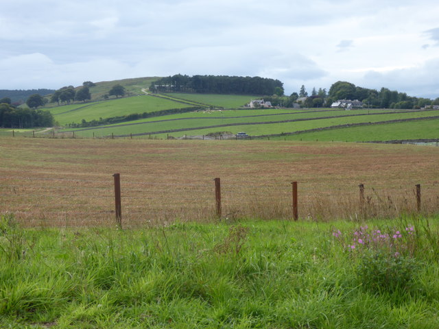
Bog Loch is a small freshwater body located in Aberdeenshire, Scotland. Nestled amidst the picturesque landscape of the region, it serves as a tranquil oasis for both locals and visitors alike. Boasting a diverse ecosystem, Bog Loch encompasses several distinct features, including a lake, pool, pond, and freshwater marsh.

The lake itself is the central attraction, covering a surface area of approximately 2 hectares. Its crystal-clear waters are sourced from natural springs and rainwater, ensuring a constant flow throughout the year. The lake is teeming with an abundance of aquatic life, including various species of fish, frogs, and water insects. These inhabitants create a vibrant ecosystem, attracting a wide array of bird species that rely on the lake for sustenance.

Adjacent to the lake, there is a pool characterized by its shallow and calm waters. This pool serves as a haven for waterfowl, providing them with an ideal breeding ground. Surrounding the pool, one can find a small pond, rich in plant life such as lilies and reeds, further enhancing the biodiversity of the area.

A distinguishing feature of Bog Loch is the freshwater marsh that borders its shores. This marshland is home to a diverse range of plant species, including sedges, rushes, and marsh marigolds. It serves as an essential habitat for numerous amphibians, such as newts and toads, as well as a variety of insects and invertebrates.

Bog Loch, with its stunning natural beauty and thriving ecosystem, offers a unique opportunity for nature enthusiasts to immerse themselves in the wonders of Aberdeenshire's wilderness. Whether it's birdwatching, fishing, or simply enjoying the peaceful ambiance, this small freshwater body has something to offer for everyone.

If you have any feedback on the listing, please let us know in the comments section below.
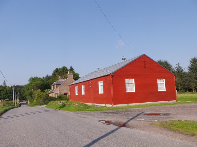
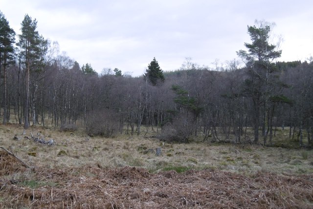
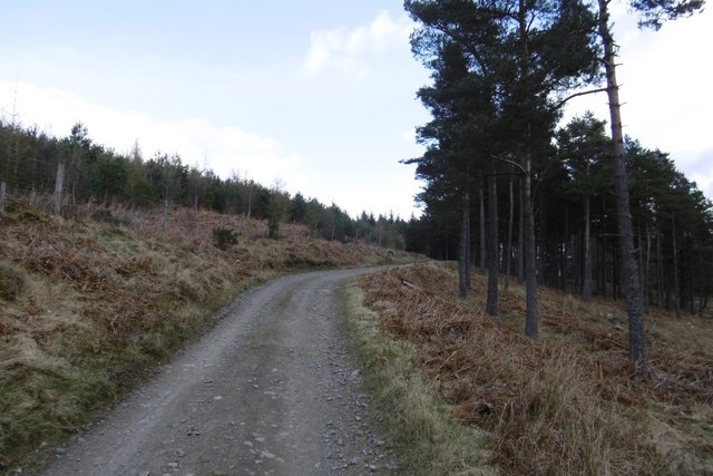
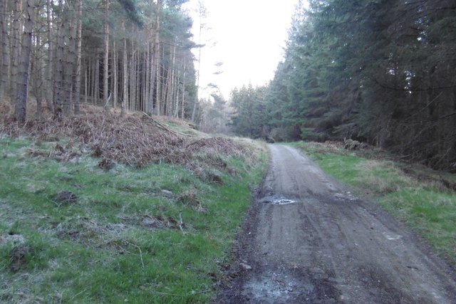
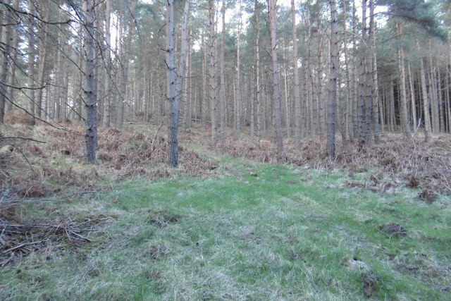
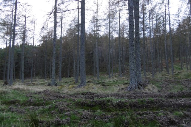
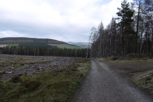
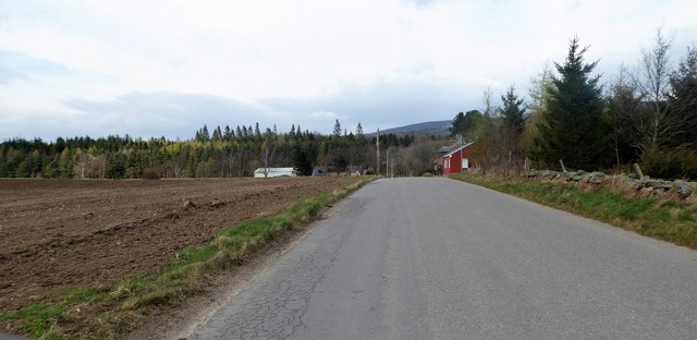
Bog Loch Images

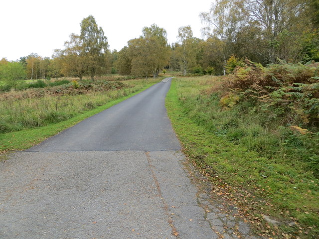
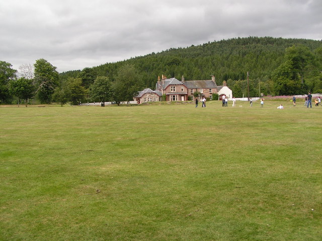
Images are sourced within 2km of 57.071609/-2.6034707 or Grid Reference NO6398. Thanks to Geograph Open Source API. All images are credited.

Glassel village hall (2015) By a minor road between Torphins and Banchory. Weatherboarding a vibrant colour in this afternoon sunshine.
Glassel village hall (2015)
By a minor road between Torphins and Banchory. Weatherboarding a vibrant colour in this afternoon sunshine.
By Sluie Loch An area of open woodland and carr between the road and Sluie Loch.
By Sluie Loch
An area of open woodland and carr between the road and Sluie Loch.
Road through Sluie Woods
Pines, Sluie Woods
Pines, Sluie Woods
Larches, Sluie Woods Slopes of Ord More, near the Warlock's Stone.
Larches, Sluie Woods
Slopes of Ord More, near the Warlock's Stone.
Road through Sluie Woods Between a large felled block and Craiglash Quarry.
Road through Sluie Woods
Between a large felled block and Craiglash Quarry.
Approach to Glassel village hall From near a minor road junction to its south.
Approach to Glassel village hall
From near a minor road junction to its south.
Glassel Village Hall (2017) Not much changed since 2015 (cf <a href="https://www.geograph.org.uk/photo/4628866">NO6599 : Glassel village hall (2015)</a>)
Glassel Village Hall (2017)
Not much changed since 2015 (cf NO6599 : Glassel village hall (2015))
Stables and paddock, Glassel
Signpost at junction near Sunnyview Seen as arriving from Glassel. 
The present unclassified Bridge of Canny to Craiglash road was part of the route of the original North Deeside road between Kincardine O'Neil and Banchory, but long since superseded by the A93 trunk road close by to the south. (Craiglash is currently the site of a working granite quarry).
Signpost at junction near Sunnyview
Seen as arriving from Glassel. The present unclassified Bridge of Canny to Craiglash road was part of the route of the original North Deeside road between Kincardine O'Neil and Banchory, but long since superseded by the A93 trunk road close by to the south. (Craiglash is currently the site of a working granite quarry).
A new road in preparation From Glassel Village Hall towards Mains of Easter Beltie (on Hill of Beltie: top left). Track not yet mapped.
A new road in preparation
From Glassel Village Hall towards Mains of Easter Beltie (on Hill of Beltie: top left). Track not yet mapped.
View to Hill of Beltie summit (195m asl) From minor road near Glassel Village Hall.
View to Hill of Beltie summit (195m asl)
From minor road near Glassel Village Hall.
Old Milestone by the A93, Bridge of Canny, Banchory parish Aberdeen granite by the A93, in parish of Banchory (Aberdeen District), Bridge of Canny, on verge in woods.

Inscription reads:-
21
(To Aberdeen)

Surveyed

Milestone Society National ID: AD_ADBM21
Old Milestone by the A93, Bridge of Canny, Banchory parish
Aberdeen granite by the A93, in parish of Banchory (Aberdeen District), Bridge of Canny, on verge in woods. Inscription reads:- 21 (To Aberdeen) Surveyed Milestone Society National ID: AD_ADBM21
Road at Bridgend Cottages Looking south-westward.
Road at Bridgend Cottages
Looking south-westward.
Wood-lined minor road near to Hollandbush Looking westward.
Wood-lined minor road near to Hollandbush
Looking westward.
Woodland track that leads to Bog Loch Looking south-westward.
Woodland track that leads to Bog Loch
Looking south-westward.
Track that leads to Mains of Dalhaikie Looking north-eastward.
Track that leads to Mains of Dalhaikie
Looking north-eastward.
Show me another place!

Bog Loch is located at Grid Ref: NO6398 (Lat: 57.071609, Lng: -2.6034707)

Unitary Authority: Aberdeenshire

Police Authority: North East

What 3 Words

///glory.mint.replying. Near Torphins, Aberdeenshire

Nearby Locations

Dalhaikie Wood Bog Loch

Related Wikis

Glassel railway station

Glassel railway station is a disused railway station in Britain. It served Glassel House, the Mill of Beltie and the local farms and the inhabitants of...

Beltie Burn

The Beltie Burn is a burn in Aberdeenshire, Scotland, which below Torphins and Glassel is known as the Burn of Canny. It begins in the hill of Benaquhallie...

Potarch

Potarch ( pot-ARKH) is a hamlet in Aberdeenshire, Scotland, with a bridge across the River Dee.It is a popular location with tourists and day-trippers...

Dinnie Stones

The Dinnie Stones (also called Stanes or Steens) are a pair of Scottish lifting stones located in Potarch, Aberdeenshire. They were made famous by strongman...

Have you been to Bog Loch?

Leave your review of Bog Loch below (or comments, questions and feedback).