Ambler Thorn

Settlement in Yorkshire

England

Ambler Thorn

Sea Harrier at Raggalds Farm Unusual item to collect and put in the farming landscape
Sea Harrier at Raggalds Farm Credit: Kevin Waterhouse

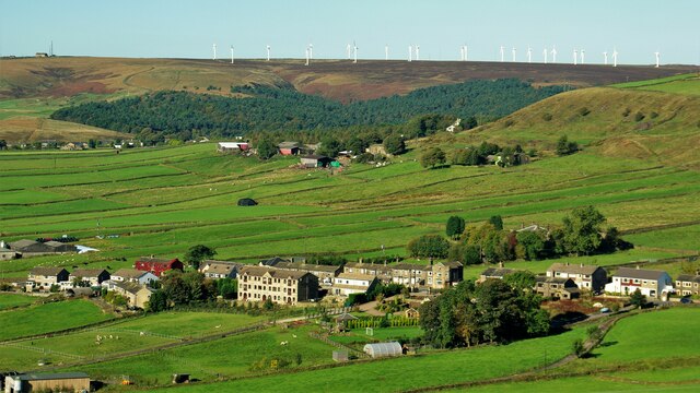
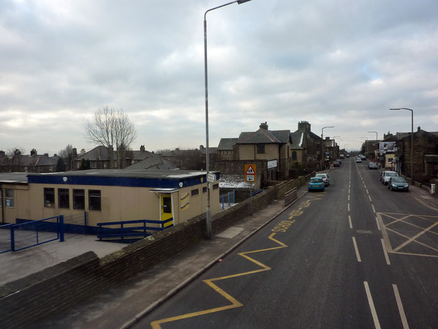
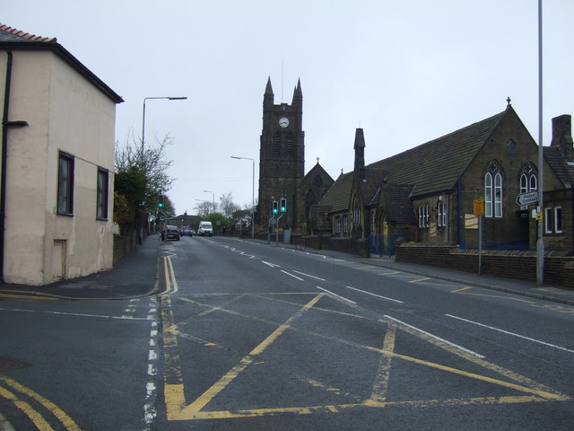
Ambler Thorn is a charming village nestled in the heart of Yorkshire, England. Located in the picturesque countryside, it is renowned for its idyllic landscapes, rich history, and warm community spirit. With a population of around 1,500, Ambler Thorn offers a peaceful and tranquil environment away from the hustle and bustle of larger towns and cities.

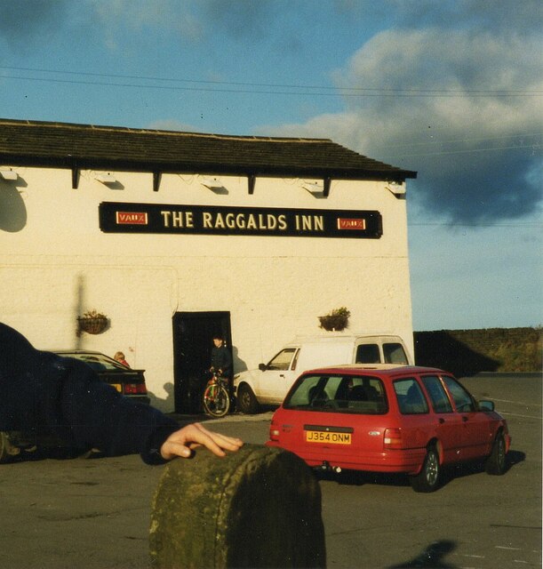
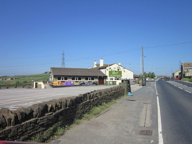
The village is characterized by its traditional stone houses, quaint cottages, and well-manicured gardens, adding to its timeless charm. The main street is lined with independent shops, including a bakery, a local pub, and a small grocery store, providing residents with all the essentials they need.

Ambler Thorn boasts a strong sense of community, with various activities and events held throughout the year. The village hall serves as a hub for social gatherings, hosting everything from art exhibitions to fitness classes. The annual Ambler Thorn Summer Fair is a highlight for both residents and visitors, featuring traditional games, live music, and local produce.

For nature enthusiasts, Ambler Thorn offers plenty of opportunities to explore the great outdoors. The village is surrounded by rolling hills, meandering rivers, and ancient woodlands, making it a paradise for hikers, cyclists, and wildlife enthusiasts. Just a short drive away, the Yorkshire Dales National Park provides even more stunning landscapes to discover.

In summary, Ambler Thorn is a quintessential English village, showcasing the best of Yorkshire's countryside charm. Its welcoming community, beautiful surroundings, and rich heritage make it a truly special place to live or visit.

If you have any feedback on the listing, please let us know in the comments section below.
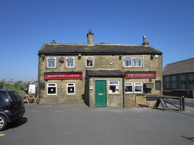
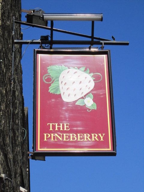
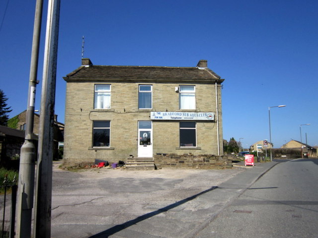
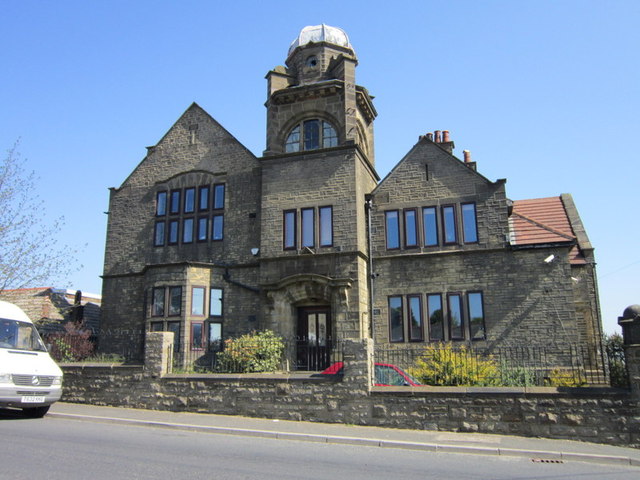
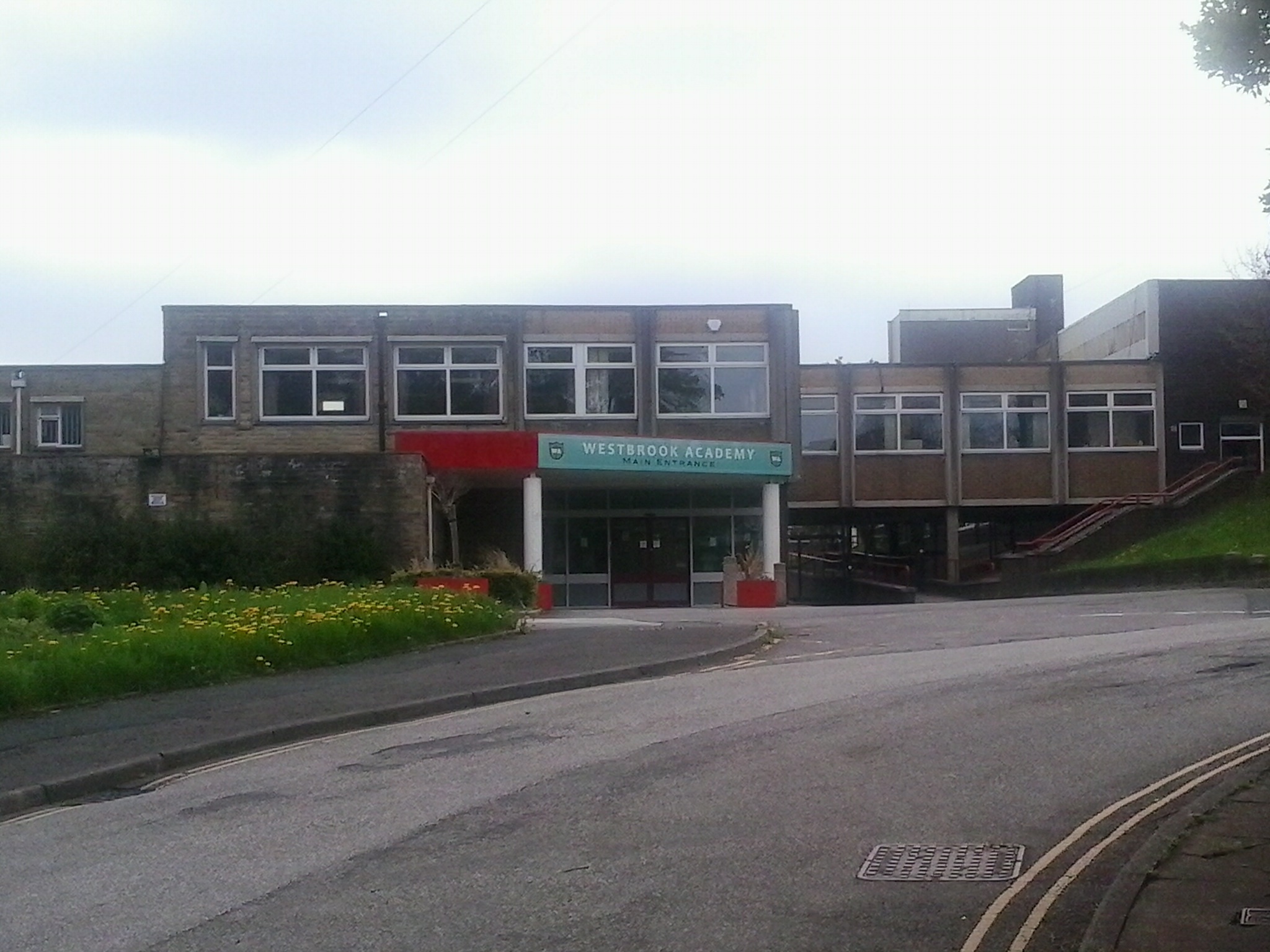
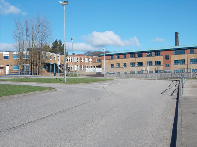
Ambler Thorn Images

Images are sourced within 2km of 53.760063/-1.861176 or Grid Reference SE0929. Thanks to Geograph Open Source API. All images are credited.

Sea Harrier at Raggalds Farm Unusual item to collect and put in the farming landscape
Sea Harrier at Raggalds Farm
Unusual item to collect and put in the farming landscape
Bradshaw Village A linear village along Bradshaw Lane. Ovenden Moor wind farm is on the skyline beyond
Bradshaw Village
A linear village along Bradshaw Lane. Ovenden Moor wind farm is on the skyline beyond
The Raggalds Inn, Queensbury The pub name was at one time changed to the Queen's Head <a href="https://www.geograph.org.uk/photo/6865252">SE0831 : The Queen's Head at Raggalds, Queensbury</a> but the Raggalds Inn was its historic name and according to Whatpub.com (who date it to the 1860s or earlier) it is now The Raggalds again. Since this photo was taken in 1993, when it bore the name of the Vaux brewery, an extension has been erected on this side of the pub, probably connected through the door seen in this photo. Image cropped to remove the person who was posing for a photo (apart from his hand on the gatepost).
The Raggalds Inn, Queensbury
The pub name was at one time changed to the Queen's Head SE0831 : The Queen's Head at Raggalds, Queensbury but the Raggalds Inn was its historic name and according to Whatpub.com (who date it to the 1860s or earlier) it is now The Raggalds again. Since this photo was taken in 1993, when it bore the name of the Vaux brewery, an extension has been erected on this side of the pub, probably connected through the door seen in this photo. Image cropped to remove the person who was posing for a photo (apart from his hand on the gatepost).
Old Milestone, A644, Albert Road, Queensbury, North of A647 junction, opposite New Park Road. Located on the North side of road, on pavement, back to stone wall, before school sign. Carved stone post, 19th century. 

Inscription reads: TO / BRIGHOUSE / 6 MILES :: TO / DENHOLME / GATE / (2 MILES) 

Grade II listed by Historic England.  <span class="nowrap"><a title="https://web.archive.org/web/20210204100212/https://historicengland.org.uk/listing/the-list/list-entry/1133581" rel="nofollow ugc noopener" href="https://web.archive.org/web/20210204100212/https://historicengland.org.uk/listing/the-list/list-entry/1133581">Archive Link</a><img style="margin-left:2px;" alt="External link" title="External link - shift click to open in new window" src="https://s1.geograph.org.uk/img/external.png" width="10" height="10"/></span>

Milestone Society National ID: YW_BHDE06
Old Milestone, A644, Albert Road, Queensbury,
North of A647 junction, opposite New Park Road. Located on the North side of road, on pavement, back to stone wall, before school sign. Carved stone post, 19th century. Inscription reads: TO / BRIGHOUSE / 6 MILES :: TO / DENHOLME / GATE / (2 MILES) Grade II listed by Historic England. Archive LinkExternal link Milestone Society National ID: YW_BHDE06
Brighouse and Denholme Road
The Pineberry, Mountain
The Bradford Sub Aqua Club, Mountain
The Speak Institute, Mountain
The Raggalds public house
West End (A647) outside Russell Hall Primary School, Queensbury The main (Victorian) school buildings are out of shot to the left. From the sign outside, I think that the prefabricated building houses the Out of School Club.
West End (A647) outside Russell Hall Primary School, Queensbury
The main (Victorian) school buildings are out of shot to the left. From the sign outside, I think that the prefabricated building houses the Out of School Club.
West End (A647), Queensbury
Houses on New Park Road, Queensbury
Charles Street -looking towards Commercial Street
Ashbourne Crescent - looking towards New Park Road
Parkway - looking towards New Park Road
Electricity Substation No 1933 - Foxhill Drive
Footpath - Foxhill Grove
Show me another place!

Ambler Thorn is located at Grid Ref: SE0929 (Lat: 53.760063, Lng: -1.861176)

Division: West Riding

Unitary Authority: Bradford

Police Authority: West Yorkshire

What 3 Words

///match.plug.shrimp. Near Clayton, West Yorkshire

Related Wikis

Nearby Amenities

Located within 500m of 53.760063,-1.861176
Bus Stop
Halifax Road Oxford Road
Local Ref: 45015732
Naptan AtcoCode: 450015732
Naptan Bearing: S
Naptan CommonName: Halifax Road Oxford Road
Naptan Crossing: Oxford Road
Naptan Indicator: Stop 45015732
Naptan PlusbusZoneRef: LEEDS
Naptan ShortCommonName: Oxford Road
Naptan Street: Halifax Road
Naptan Verified: no
Source: naptan_import
Lat/Long: 53.762618/-1.8588028
Bus Stop
Halifax Road Mill Close Lane
Local Ref: 45015733
Naptan AtcoCode: 450015733
Naptan Bearing: N
Naptan CommonName: Halifax Road Mill Close Lane
Naptan Crossing: Adj Mill Close Lane
Naptan Indicator: Stop 45015733
Naptan Landmark: Unknown
Naptan PlusbusZoneRef: LEEDS
Naptan ShortCommonName: Moor Close Lane
Naptan Street: Halifax Road
Naptan Verified: no
Source: naptan_import
Lat/Long: 53.7618364/-1.8591694
Bus Stop
Halifax Road Shibden Head Lane
Local Ref: 45015734
Naptan AtcoCode: 450015734
Naptan Bearing: S
Naptan CommonName: Halifax Road Shibden Head Lane
Naptan Crossing: Shibden Head Lane
Naptan Indicator: Stop 45015734
Naptan PlusbusZoneRef: LEEDS
Naptan ShortCommonName: Vernon Place
Naptan Street: Halifax Road
Naptan Verified: no
Source: naptan_import
Lat/Long: 53.7606231/-1.8592797
Bus Stop
Halifax Road Roper Lane
Local Ref: 45015735
Naptan AtcoCode: 450015735
Naptan Bearing: N
Naptan CommonName: Halifax Road Roper Lane
Naptan Crossing: Roper Lane
Naptan Indicator: Stop 45015735
Naptan PlusbusZoneRef: LEEDS
Naptan ShortCommonName: Roper Lane
Naptan Street: Halifax Road
Naptan Verified: no
Source: naptan_import
Lat/Long: 53.7605155/-1.8594772
Bus Stop
Halifax Road Windy Bank Lane
Local Ref: 45015736
Naptan AtcoCode: 450015736
Naptan Bearing: N
Naptan CommonName: Halifax Road Windy Bank Lane
Naptan Crossing: Nr-At Windy Bank Lane
Naptan Indicator: Stop 45015736
Naptan PlusbusZoneRef: LEEDS
Naptan ShortCommonName: Brewery Lane
Naptan Street: Halifax Road
Naptan Verified: no
Source: naptan_import
Lat/Long: 53.7590327/-1.8596794
Bus Stop
Halifax Road Brewery Lane
Local Ref: 45015737
Naptan AtcoCode: 450015737
Naptan Bearing: S
Naptan CommonName: Halifax Road Brewery Lane
Naptan Crossing: Nr-At Brewery Lane
Naptan Indicator: Stop 45015737
Naptan Notes: OSR taken place 050905
Naptan PlusbusZoneRef: LEEDS
Naptan ShortCommonName: Brewery Lane
Naptan Street: Halifax Road
Naptan Verified: no
Source: naptan_import
Lat/Long: 53.7588437/-1.8594676
Bus Stop
Halifax Road Windy Bank Lane
Local Ref: 45015740
Naptan AtcoCode: 450015740
Naptan Bearing: NE
Naptan CommonName: Halifax Road Windy Bank Lane
Naptan Crossing: Nr-At Windy Bank Lane (Halifax Side)
Naptan Indicator: Stop 45015740
Naptan Landmark: Garage
Naptan Notes: OSR taken place 140905
Naptan PlusbusZoneRef: LEEDS
Naptan ShortCommonName: Upper Shibden Hall
Naptan Street: Halifax Road
Naptan Verified: no
Source: naptan_import
Lat/Long: 53.755755/-1.8623445
Bus Stop
Halifax Road Brewery Lane
Local Ref: 45015741
Naptan AtcoCode: 450015741
Naptan Bearing: SW
Naptan CommonName: Halifax Road Brewery Lane
Naptan Crossing: Nr-At Brewery Lane (Halifax Side)
Naptan Indicator: Stop 45015741
Naptan Notes: OSR taken place 140905
Naptan PlusbusZoneRef: LEEDS
Naptan ShortCommonName: Upper Shibden Hall
Naptan Street: Halifax Road
Naptan Verified: no
Source: naptan_import
Lat/Long: 53.7558087/-1.8620865
Queensbury Tunnel No. 1 Shaft
Historic: air_shaft
Source: OS 1:25k
Lat/Long: 53.7604108/-1.8673883
Power: tower
Lat/Long: 53.758683/-1.8682768
Pub
The New Dolphin Inn
Source: survey
Source Date: 2016-02-29
Lat/Long: 53.7636737/-1.8588073
Pub
The Omnibus
Source: survey
Source Date: 2016-02-29
Lat/Long: 53.7616763/-1.8593243
Queensbury Tunnel No. 2 Shaft
Historic: air_shaft
Source: OS 1:25k
Lat/Long: 53.7619863/-1.8646107
Queensbury Tunnel No. 3 Shaft
Historic: air_shaft
Source: OS 1:25k
Lat/Long: 53.7639159/-1.8611511
Generator Method: wind_turbine
Generator Source: wind
Power: generator
Lat/Long: 53.760381/-1.8656045
Generator Method: wind_turbine
Generator Source: wind
Power: generator
Lat/Long: 53.76014/-1.8646229
Ambler Thorn
Place: neighbourhood
Lat/Long: 53.7612883/-1.8603354
Shibden Head
Place: neighbourhood
Lat/Long: 53.7582721/-1.858301
The data included in this document is from www.openstreetmap.org. The data is made available under ODbL.

Have you been to Ambler Thorn?

Leave your review of Ambler Thorn below (or comments, questions and feedback).