Amblecote

Settlement in Staffordshire

England

Amblecote

Bonded Warehouse, Stourbridge This building is a restored bonded warehouse in Canal St, Stourbridge
Bonded Warehouse, Stourbridge Credit: Rob Newman

Amblecote is a suburban area located in the county of Staffordshire, England. Situated about 2 miles to the west of Stourbridge town centre, it is part of the Metropolitan Borough of Dudley. Amblecote is bordered by the towns of Wordsley, Wollaston, and Lye.

Historically, Amblecote was a rural village, but it experienced significant growth during the Industrial Revolution due to the expansion of the local glass industry. Today, Amblecote is a bustling residential area with a mix of modern housing estates and traditional brick-built homes. The community is known for its friendly atmosphere and strong sense of community spirit.

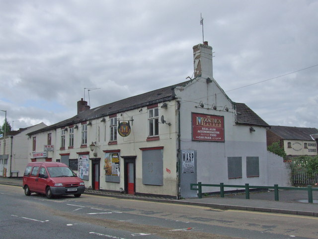
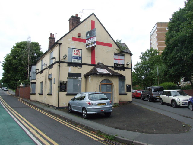
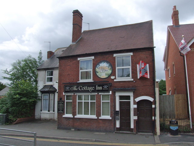
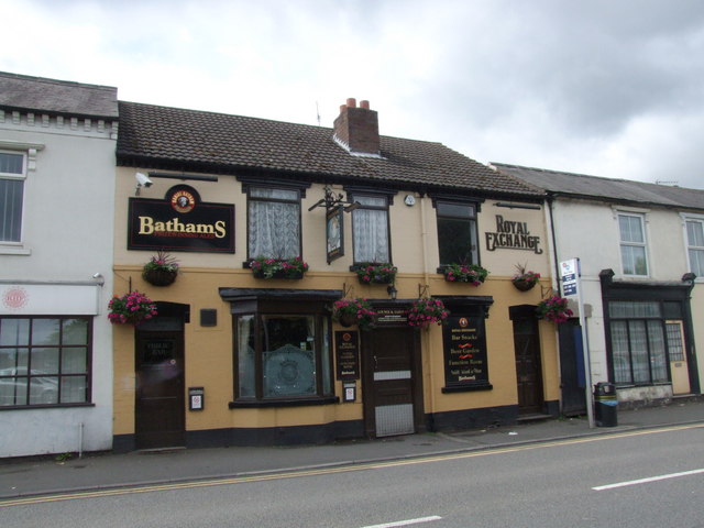
Amblecote offers a range of amenities for its residents, including several local shops, supermarkets, and a variety of pubs and restaurants. The area benefits from excellent transportation links, with regular bus services connecting it to neighboring towns and cities. The nearby Stourbridge Junction railway station provides easy access to Birmingham and other major cities.

Nature lovers will appreciate the close proximity of Amblecote to the picturesque countryside of Staffordshire. The nearby Clent Hills offer stunning views and plenty of walking trails, making it a popular destination for outdoor enthusiasts.

Overall, Amblecote is a vibrant and well-connected area that combines the tranquility of rural living with the convenience of suburban amenities. It is an attractive place to reside for individuals and families seeking a balance between a peaceful environment and easy access to urban facilities.

If you have any feedback on the listing, please let us know in the comments section below.
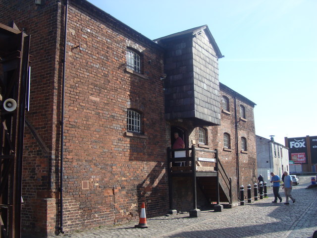
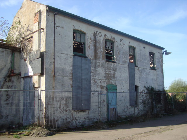
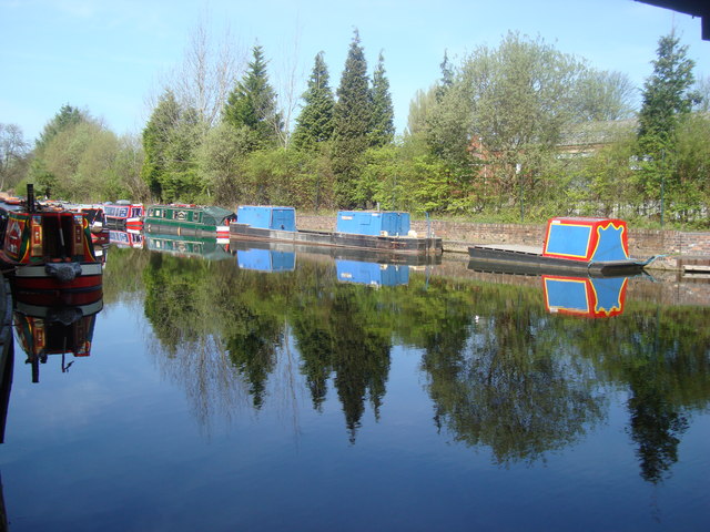
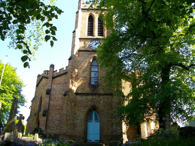
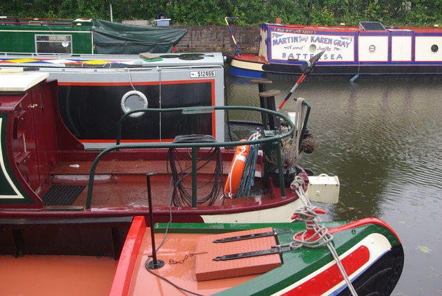
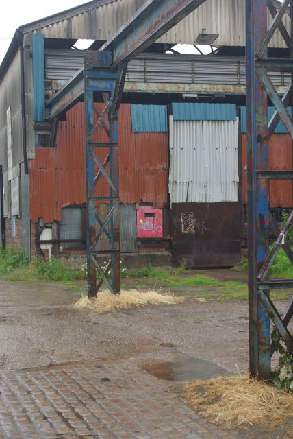
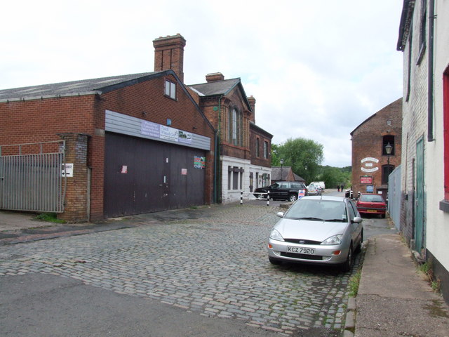
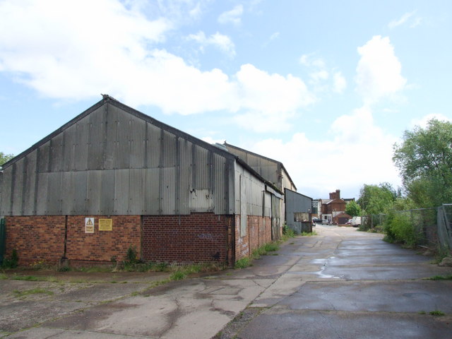
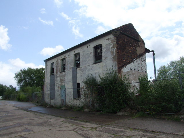
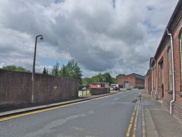
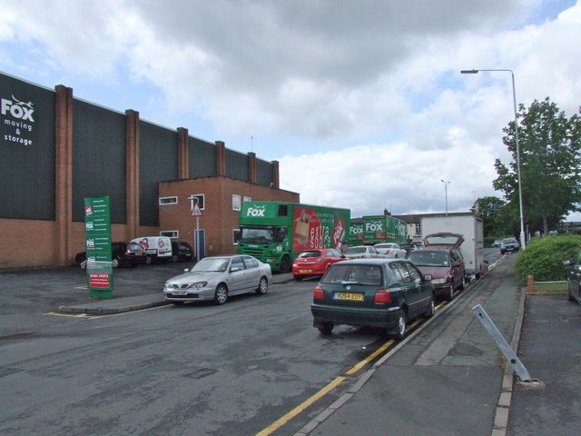
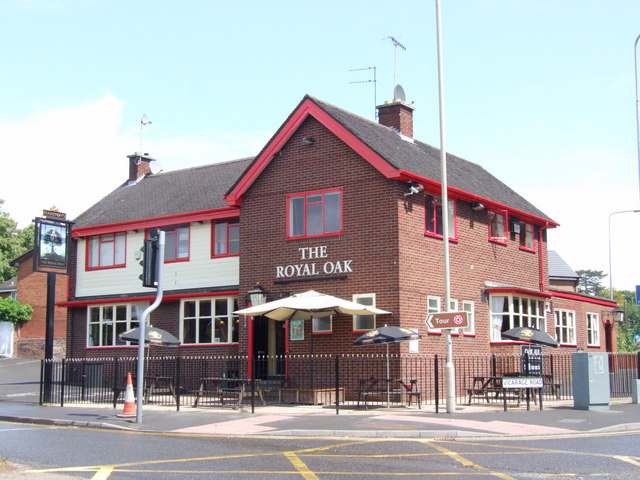
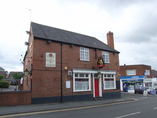
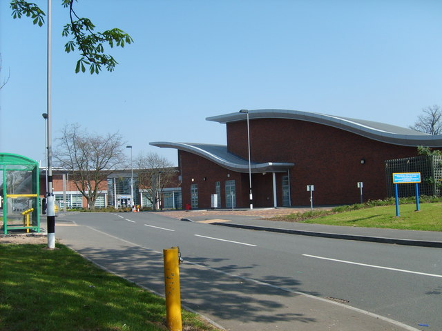
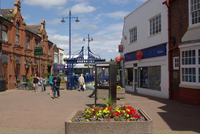
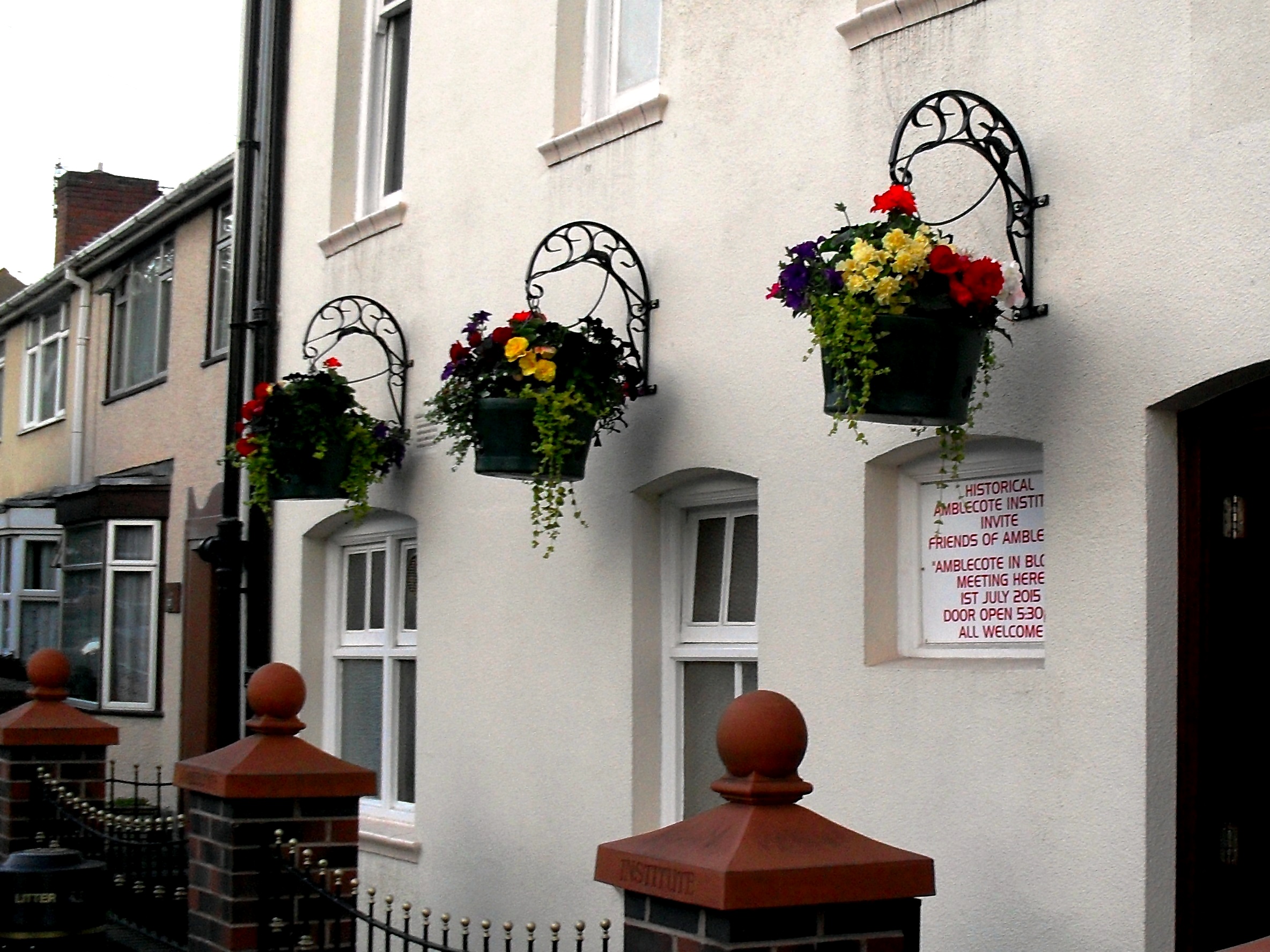
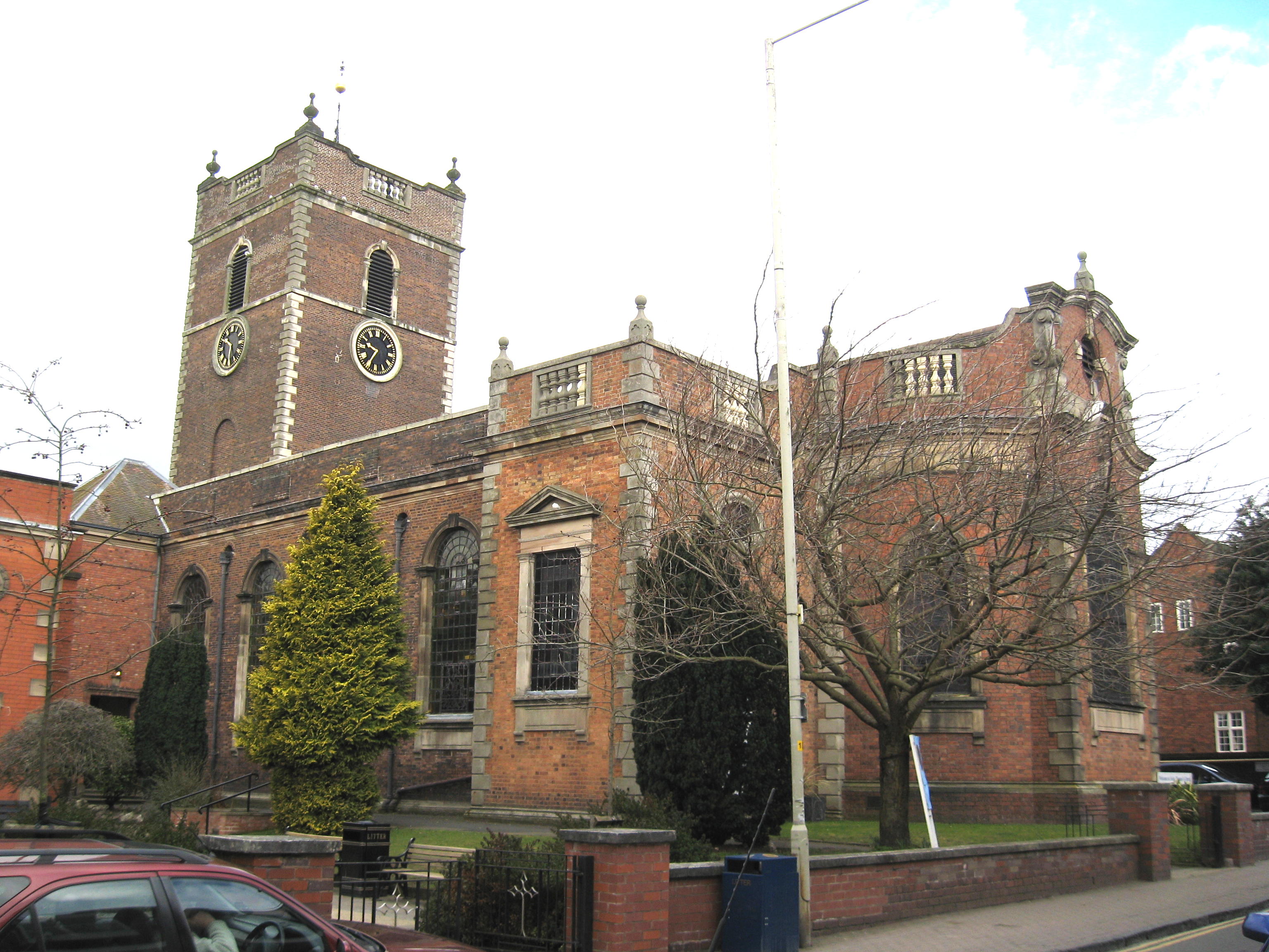
Amblecote Images

Images are sourced within 2km of 52.463717/-2.150837 or Grid Reference SO8985. Thanks to Geograph Open Source API. All images are credited.

Bonded Warehouse, Stourbridge This building is a restored bonded warehouse in Canal St, Stourbridge
Bonded Warehouse, Stourbridge
This building is a restored bonded warehouse in Canal St, Stourbridge
Derelict Building, Stourbridge This dilapilated building is to be found in Canal Street, Stourbridge
Derelict Building, Stourbridge
This dilapilated building is to be found in Canal Street, Stourbridge
Stourbridge Canal Basin Viewed from beside the bonded warehouse in Canal Street this is the terminal basin of the Stourbridge Canal
Stourbridge Canal Basin
Viewed from beside the bonded warehouse in Canal Street this is the terminal basin of the Stourbridge Canal
Parish Church of the Holy Trinity Amblecote Opened for service in 1842
Parish Church of the Holy Trinity Amblecote
Opened for service in 1842
Narrowboats at Stourbridge Narrowboats moored, in the rain, close to the end of the Stourbridge Town Arm.
Narrowboats at Stourbridge
Narrowboats moored, in the rain, close to the end of the Stourbridge Town Arm.
Derelict industrial site - Canal Street, Stourbridge Right by the Stourbridge Town canal arm, stands this forlorn former steel rolling mill. There are plans to redevelop the site for housing.
Derelict industrial site - Canal Street, Stourbridge
Right by the Stourbridge Town canal arm, stands this forlorn former steel rolling mill. There are plans to redevelop the site for housing.
Canal Street, Stourbridge
Old Wharf Road, Stourbridge
Mill Race Lane, Stourbridge
The Royal Oak, Stourbridge I forgot I had already photographed this pub exactly a year earlier.

<a title="https://www.geograph.org.uk/photo/1928039" href="https://www.geograph.org.uk/photo/1928039">Link</a>

Looks like it has had a lick of paint!
The Royal Oak, Stourbridge
I forgot I had already photographed this pub exactly a year earlier. Link Looks like it has had a lick of paint!
The Moorings Tavern, Stourbridge
The Red Lion, Stourbridge
The Cottage Inn, Stourbridge
Royal Exchange, Stourbridge
The Queens Head, Stourbridge
Somerset House, Stourbridge
Show me another place!

Amblecote is located at Grid Ref: SO8985 (Lat: 52.463717, Lng: -2.150837)

Unitary Authority: Dudley

Police Authority: West Midlands

What 3 Words

///super.light.scores. Near Stourbridge, West Midlands

Nearby Locations

Amblecote

Related Wikis

Nearby Amenities

Located within 500m of 52.463717,-2.150837
Traffic Signals
Traffic Signals: signal
Traffic Signals Direction: forward
Lat/Long: 52.4620765/-2.1492077
Amblecote
Is In: West Midlands
Place: village
Wikidata: Q3613786
Lat/Long: 52.4637321/-2.1507226
Waterway: dry_dock
Lat/Long: 52.4611922/-2.1489815
Traffic Signals
Lat/Long: 52.4615334/-2.1489715
Crossing
Crossing: unmarked
Crossing Island: no
Tactile Paving: yes
Lat/Long: 52.461095/-2.1486796
Maxlength: 22
Waterway: turning_point
Lat/Long: 52.4611136/-2.1499094
Bus Stop
High St / Mill Race Lane
Bench: no
Bin: no
Bus: yes
Mapillary: 505886927212181
Naptan AtcoCode: 43000822701
Naptan Bearing: S
Naptan BusStopType: MKD
Naptan CommonName: Mill Race Lane
Naptan Indicator: adj
Naptan NaptanCode: nwmjtgpd
Naptan PlusbusZoneRef: BHAMNWS
Naptan Status: ACT
Naptan StopType: BCT
Naptan Street: HIGH ST
Naptan Towards: Stourbridge
Naptan Verified: no
Public Transport: platform
Route Ref: 246;256;257;267;657
Shelter: no
Source: WMCA
Survey Date: 2019-08-22
Lat/Long: 52.4606922/-2.148688
Bus Stop
High St / Amblecote Church
NaPTANAreaCode: 43000828102
Bus: yes
Naptan AtcoCode: 43000828102
Naptan Bearing: N
Naptan BusStopType: MKD
Naptan CommonName: Amblecote Church
Naptan Indicator: opp
Naptan NaptanCode: nwmjtmap
Naptan PlusbusZoneRef: BHAMNWS
Naptan Status: ACT
Naptan StopType: BCT
Naptan Street: HIGH ST
Naptan Towards: Wordsley, Brierley Hill
Naptan Verified: no
Public Transport: platform
Route Ref: 246;256;257;267;657
Shelter: yes
Shelter Ref: 408303
Source: WMCA
Lat/Long: 52.4625453/-2.1495272
Bus Stop
High St / Corbett Hospital
NaPTANAreaCode: 43000828201
Bench: yes
Bin: no
Bus: yes
Image: https://storage11.openstreetcam.org/files/photo/2019/4/12/lth/1371842_a88ed_2735.jpg
Naptan AtcoCode: 43000828201
Naptan Bearing: N
Naptan BusStopType: MKD
Naptan CommonName: Corbett Hospital
Naptan Indicator: opp
Naptan NaptanCode: nwmjtmat
Naptan PlusbusZoneRef: BHAMNWS
Naptan Status: ACT
Naptan StopType: BCT
Naptan Street: HIGH ST
Naptan Towards: Wordsley, Brierley Hill
Naptan Verified: no
Public Transport: platform
Route Ref: 246;256;257;267;657
Shelter: yes
Shelter Ref: 408329
Source: WMCA
Survey Date: 2019-04-12
Lat/Long: 52.4648902/-2.1507422
Bus Stop
High St / Corbett Hospital
NaPTANAreaCode: 43000828202
Bench: yes
Bus: yes
Naptan AtcoCode: 43000828202
Naptan Bearing: S
Naptan BusStopType: MKD
Naptan CommonName: Corbett Hospital
Naptan Indicator: adj
Naptan NaptanCode: nwmjtmaw
Naptan PlusbusZoneRef: BHAMNWS
Naptan Status: ACT
Naptan StopType: BCT
Naptan Street: HIGH ST
Naptan Towards: Stourbridge
Naptan Verified: no
Public Transport: platform
Route Ref: 246;256;257;267;657
Shelter: yes
Shelter Ref: 408327
Source: WMCA
Lat/Long: 52.4649444/-2.1505657
Bus Stop
High St / Collis St
NaPTANAreaCode: 43000828301
Bus: yes
Naptan AtcoCode: 43000828301
Naptan Bearing: SE
Naptan BusStopType: MKD
Naptan CommonName: Collis St
Naptan Indicator: after
Naptan NaptanCode: nwmjtmda
Naptan PlusbusZoneRef: BHAMNWS
Naptan Status: ACT
Naptan StopType: BCT
Naptan Street: HIGH ST
Naptan Towards: Stourbridge
Naptan Verified: no
Public Transport: platform
Route Ref: 246;256;257;267;657
Shelter: yes
Shelter Ref: 406718
Source: WMCA
Lat/Long: 52.4673157/-2.1522078
Bus Stop
High St / Collis St
NaPTANAreaCode: 43000828302
Bench: yes
Bin: no
Bus: yes
Mapillary: 1368990430166477
Naptan AtcoCode: 43000828302
Naptan Bearing: NW
Naptan BusStopType: MKD
Naptan CommonName: Collis St
Naptan Indicator: before
Naptan NaptanCode: nwmjtmdg
Naptan PlusbusZoneRef: BHAMNWS
Naptan Status: ACT
Naptan StopType: BCT
Naptan Street: HIGH ST
Naptan Towards: Wordsley, Brierley Hill
Naptan Verified: no
Public Transport: platform
Route Ref: 246;256;257;267;657
Shelter: yes
Shelter Ref: 406717
Source: WMCA
Survey Date: 2019-08-22
Lat/Long: 52.4674809/-2.1526328
Bus Stop
Wollaston Rd / High St
Bus: yes
Naptan AtcoCode: 43000828501
Naptan Bearing: W
Naptan BusStopType: MKD
Naptan CommonName: High St
Naptan Indicator: after
Naptan NaptanCode: nwmjtmdp
Naptan PlusbusZoneRef: BHAMNWS
Naptan Status: ACT
Naptan StopType: BCT
Naptan Street: WOLLASTON RD
Naptan Towards: Wollaston
Naptan Verified: no
Public Transport: platform
Route Ref: 251
Source: WMCA
Lat/Long: 52.4677456/-2.1534605
Bus Stop
Church Ave / Corbett Crescent
Bus: yes
Naptan AtcoCode: 43000829301
Naptan Bearing: NW
Naptan BusStopType: MKD
Naptan CommonName: Corbett Crescent
Naptan Indicator: opp
Naptan NaptanCode: nwmjtmgm
Naptan PlusbusZoneRef: BHAMNWS
Naptan Status: ACT
Naptan StopType: BCT
Naptan Street: CHURCH AVE
Naptan Towards: Merry Hill
Naptan Verified: no
Public Transport: platform
Route Ref: 228;251;296;X96
Source: WMCA
Lat/Long: 52.4628573/-2.1444503
Bus Stop
Vicarage Rd / Corbett Hospital
NaPTANAreaCode: 43000829401
Bus: yes
Naptan AtcoCode: 43000829401
Naptan Bearing: NE
Naptan BusStopType: MKD
Naptan CommonName: Corbett Hospital
Naptan Indicator: adj
Naptan NaptanCode: nwmjtmgp
Naptan PlusbusZoneRef: BHAMNWS
Naptan Status: ACT
Naptan StopType: BCT
Naptan Street: VICARAGE RD
Naptan Towards: Merry Hill
Naptan Verified: no
Public Transport: platform
Route Ref: 228;251;296;X96
Shelter: yes
Shelter Ref: 408331
Source: WMCA
Lat/Long: 52.4646978/-2.1464876
Vicarage Rd / Corbett Hospital
Naptan AtcoCode: 43000829402
Naptan Bearing: SW
Naptan BusStopType: MKD
Naptan CommonName: Corbett Hospital
Naptan Indicator: beyond
Naptan NaptanCode: nwmjtmgt
Naptan PlusbusZoneRef: BHAMNWS
Naptan Status: DEL
Naptan StopType: BCT
Naptan Street: VICARAGE RD
Naptan Towards: Stourbridge
Naptan Verified: no
Note: removed between initial NaPTAN import 2009 and WMCA refresh 2017. Any errors just re-instate bus_stop tag
Source: WMCA
Lat/Long: 52.4642755/-2.1462948
Bus Stop
Vicarage Rd / Queens Crescent
Bus: yes
Naptan AtcoCode: 43000829501
Naptan Bearing: W
Naptan BusStopType: MKD
Naptan CommonName: Queens Crescent
Naptan Indicator: opp
Naptan NaptanCode: nwmjtmgw
Naptan PlusbusZoneRef: BHAMNWS
Naptan Status: ACT
Naptan StopType: BCT
Naptan Street: VICARAGE RD
Naptan Towards: Stourbridge
Naptan Verified: no
Public Transport: platform
Route Ref: 228;250;296;X96
Source: WMCA
Lat/Long: 52.4647594/-2.1444436
Bus Stop
Vicarage Rd / Queens Crescent
Bus: yes
Naptan AtcoCode: 43000829502
Naptan Bearing: E
Naptan BusStopType: MKD
Naptan CommonName: Queens Crescent
Naptan Indicator: adj
Naptan NaptanCode: nwmjtmja
Naptan PlusbusZoneRef: BHAMNWS
Naptan Status: ACT
Naptan StopType: BCT
Naptan Street: VICARAGE RD
Naptan Towards: Merry Hill
Naptan Verified: no
Public Transport: platform
Route Ref: 228;251;296;X96
Source: WMCA
Lat/Long: 52.4648171/-2.1445303
Bus Stop
Church Ave / Vicarage Rd
Bus: yes
Naptan AtcoCode: 43008294502
Naptan Bearing: SE
Naptan BusStopType: MKD
Naptan CommonName: Vicarage Rd
Naptan Indicator: after
Naptan NaptanCode: nwmwatjg
Naptan Status: ACT
Naptan StopType: BCT
Naptan Street: CHURCH AVE
Naptan Towards: Stourbridge
Naptan Verified: no
Public Transport: platform
Route Ref: 228;250;296;X96
Source: WMCA
Lat/Long: 52.4642754/-2.1463096
Traffic Signals
Source: bing
Lat/Long: 52.4678621/-2.1530289
Turning Circle
Source: bing
Lat/Long: 52.4640658/-2.1447783
Traffic Signals
Traffic Signals: signal
Lat/Long: 52.4621437/-2.1490478
Traffic Signals
Traffic Signals: signal
Traffic Signals Direction: backward
Lat/Long: 52.4623227/-2.1493117
Turning Circle
Source: bing
Lat/Long: 52.4643907/-2.1449494
Turning Circle
Source: bing
Lat/Long: 52.4643423/-2.1457368
Turning Circle
Source: bing
Lat/Long: 52.463538/-2.1440401
Turning Circle
Source: bing
Lat/Long: 52.4649928/-2.1576643
Cafe
Little Green Olive
Addr Postcode: DY8 4HZ
Addr Street: John Corbett Drive
Cuisine: coffee_shop
Fhrs Id: 932497
Source Addr: FHRS Open Data
Lat/Long: 52.4643697/-2.1483849
Barrier: cycle_barrier
Source: survey
Lat/Long: 52.467256/-2.1552599
Weighbridge
Note: looks unused
Source: survey
Lat/Long: 52.460894/-2.1491195
Traffic Signals
Source: survey
Traffic Signals: signal
Traffic Signals Direction: backward
Lat/Long: 52.4632789/-2.1494692
Traffic Signals
Source: survey
Traffic Signals: signal
Traffic Signals Direction: backward
Lat/Long: 52.4633881/-2.1497452
Cafe
Ruskin Glass Centre Cafe
Source: survey
Takeaway: yes
Wheelchair: yes
Lat/Long: 52.4667132/-2.1538491
Source: survey
Tourism: artwork
Lat/Long: 52.4670059/-2.1544202
Crossing
Crossing: unmarked
Crossing Island: yes
Tactile Paving: yes
Lat/Long: 52.4612404/-2.1487886
Source: survey
Tourism: artwork
Lat/Long: 52.4600304/-2.149017
Heroes Health Club
Addr City: Stourbridge
Addr Housenumber: 5
Addr Postcode: DY8 1TE
Addr Street: Lower High Street
Contact Email: heroessauna@live.com
Leisure: sauna
Note: OPEN 7 DAYS A WEEK NOON TILL LATE closes around 9.30 pm
Phone: +44 1384 442039
Website: https://www.heroessauna.co.uk/
Lat/Long: 52.4599872/-2.1487343
Traffic Signals
Source: survey
Traffic Signals: signal
Traffic Signals Direction: forward
Lat/Long: 52.4629995/-2.14958
National Tyres
Brand: National Tyres and Autocare
Brand Wikidata: Q6979055
Brand Wikipedia: en:National Tyres and Autocare
Shop: car_repair
Short Name: National Tyres
Lat/Long: 52.4604566/-2.1482951
CFT
Lat/Long: 52.46012/-2.146549
Body Wise
Lat/Long: 52.4602638/-2.1473483
Easy Bathrooms
Shop: bathroom_furnishing
Lat/Long: 52.4601395/-2.1468252
Screwfix
Brand: Screwfix
Brand Wikidata: Q7439115
Brand Wikipedia: en:Screwfix
Shop: doityourself
Website: https://www.screwfix.com/stores/TT9/stourbridge
Lat/Long: 52.4604534/-2.1480322
Tile Trend
Shop: tiles
Lat/Long: 52.4603047/-2.1476111
Water Point
Stourbridge Town Arm Water Point
Access: permissive
Centralkey: no
Drinking Water: yes
Fee: no
Man Made: water_tap
Operator: Canal and River Trust
Waterway: water_point
Lat/Long: 52.4611498/-2.1530042
Sanitary Dump Station
Stourbridge Basin Elsan Point
Access: permissive
Operator: Stourbridge Navigation Trust
Sanitary Dump Station: yes
Sanitary Dump Station Accepted: black_water
Sanitary Dump Station Basin: yes
Sanitary Dump Station Pump-out: yes
Waste: toilet
Waterway: sanitary_dump_station
Lat/Long: 52.4610235/-2.1497539
Water Point
Stourbridge Basin Water Point
Access: permissive
Drinking Water: yes
Fee: no
Man Made: water_tap
Operator: Stourbridge Navigation Trust
Waterway: water_point
Lat/Long: 52.4610231/-2.1496826
Bus Stop
Church Ave / Corbett Crescent
Bus: yes
Naptan AtcoCode: 43008290503
Naptan NaptanCode: nwmwtpdw
Naptan Verified: no
Public Transport: platform
Source: naptan
Lat/Long: 52.4627317/-2.1442695
Noexit: yes
Lat/Long: 52.4664893/-2.1504583
Crossing
Crossing: pedestrian_signals
Lat/Long: 52.4613471/-2.148913
Bicycle Parking
Bicycle Parking: stands
Capacity: 6
Covered: no
Fee: no
Lat/Long: 52.467796/-2.1526981
Bicycle Parking
Bicycle Parking: stands
Capacity: 8
Covered: yes
Fee: no
Lat/Long: 52.4602515/-2.1533357
Bicycle Parking
Bicycle Parking: stands
Capacity: 8
Covered: no
Fee: no
Lat/Long: 52.4611455/-2.156461
Bicycle Parking
Bicycle Parking: stands
Capacity: 8
Covered: yes
Fee: no
Lat/Long: 52.4609476/-2.1561076
Bicycle Parking
Bicycle Parking: stands
Capacity: 12
Covered: no
Lat/Long: 52.4654082/-2.1471044
Crossing
Crossing: zebra
Crossing Island: no
Tactile Paving: yes
Lat/Long: 52.4641904/-2.1478219
Barrier: cycle_barrier
Lat/Long: 52.4619385/-2.1444681
Barrier: cycle_barrier
Lat/Long: 52.4614904/-2.145796
Barrier: cycle_barrier
Lat/Long: 52.4615181/-2.1471154
Bicycle Rental
Bonded Warehouse
Capacity: 12
Email: support@beryl.cc
Fee: yes
Network: West Midlands Cycle Hire
Network Regional: Starley
Official Name: Bonded Warehouse
Operator: Beryl
Operator Wikidata: Q106575369
Payment App: yes
Payment Cash: no
Payment Credit Cards: no
Payment Cryptocurrencies: no
Payment Debit Cards: no
Payment Electronic Purses: no
Phone: +44 20 3003 5044
Ref Gbfs: beryl_west_midlands:2708
Ref Wmch: 606
Rental: city_bike;ebike
Source: tfwm/serco
Website: https://beryl.cc/scheme/west-midlands
Lat/Long: 52.4614934/-2.1486629
Toolstation
Brand: Toolstation
Brand Wikidata: Q7824103
Brand Wikipedia: en:Toolstation
Contact Website: https://www.toolstation.com/branches/stourbridge
Shop: doityourself
Lat/Long: 52.4608838/-2.147552
Speed Camera
Maxspeed: 30 mph
Lat/Long: 52.4658542/-2.1508302
Traffic Signals
Traffic Signals: signal
Lat/Long: 52.4621838/-2.1490844
Crossing
Button Operated: yes
Crossing: traffic_signals
Crossing Island: no
Crossing Markings: dots
Crossing Ref: puffin
Tactile Paving: yes
Lat/Long: 52.462176/-2.1491389
Crossing
Button Operated: yes
Crossing: traffic_signals
Crossing Island: no
Crossing Markings: dots
Crossing Ref: puffin
Tactile Paving: yes
Lat/Long: 52.4621177/-2.1490758
Crossing
Button Operated: yes
Crossing: traffic_signals
Crossing Island: no
Crossing Markings: dots
Crossing Ref: puffin
Tactile Paving: yes
Lat/Long: 52.4622493/-2.1490871
Crossing
Button Operated: yes
Crossing: traffic_signals
Crossing Island: no
Crossing Markings: dots
Crossing Ref: puffin
Tactile Paving: yes
Lat/Long: 52.462114/-2.1492232
Traffic Calming: island
Lat/Long: 52.4623059/-2.1493044
The data included in this document is from www.openstreetmap.org. The data is made available under ODbL.

Have you been to Amblecote?

Leave your review of Amblecote below (or comments, questions and feedback).