Swinnie Burn Plantation
Wood, Forest in Roxburghshire
Scotland
Swinnie Burn Plantation
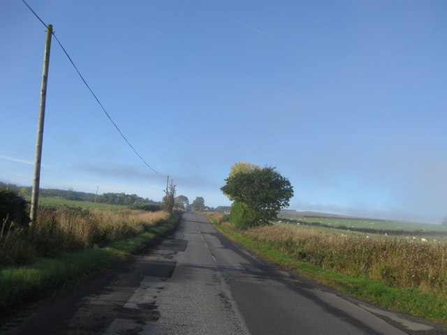
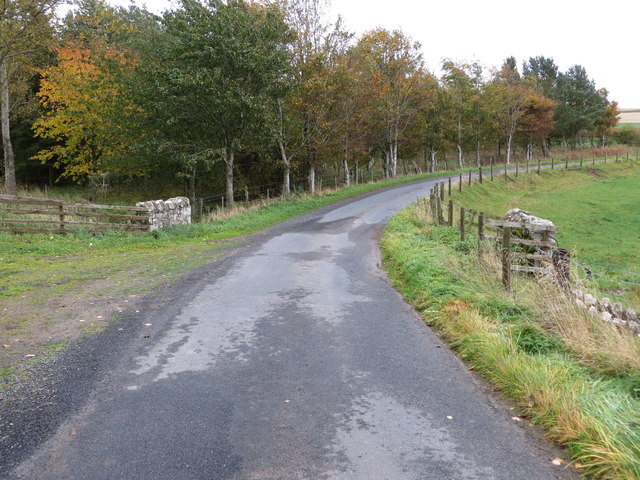
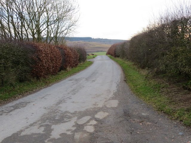
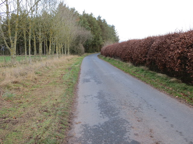
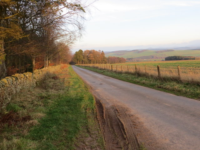
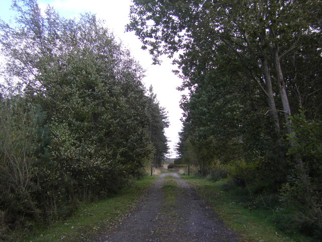
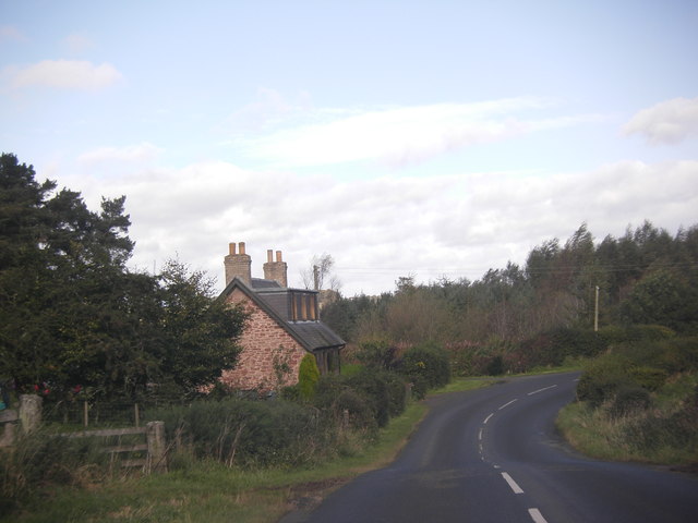
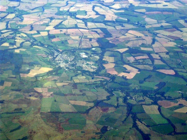
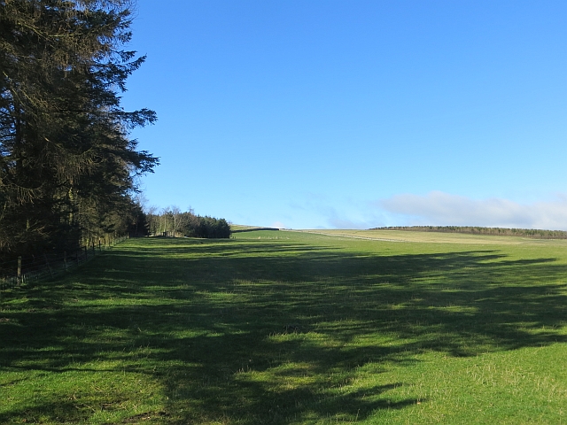
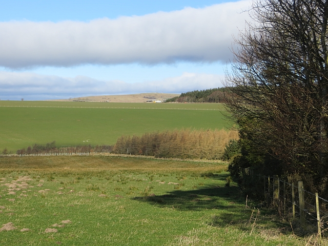
Swinnie Burn Plantation is a picturesque woodland located in Roxburghshire, Scotland. Covering an area of approximately 300 acres, it is situated near the village of Hobkirk, offering visitors a tranquil and natural escape.
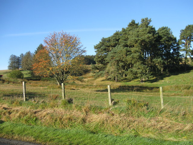
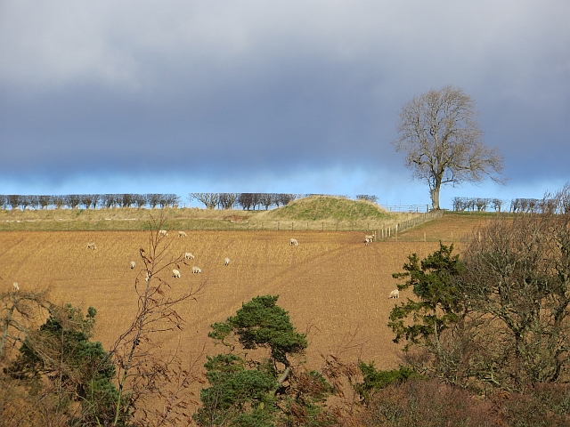
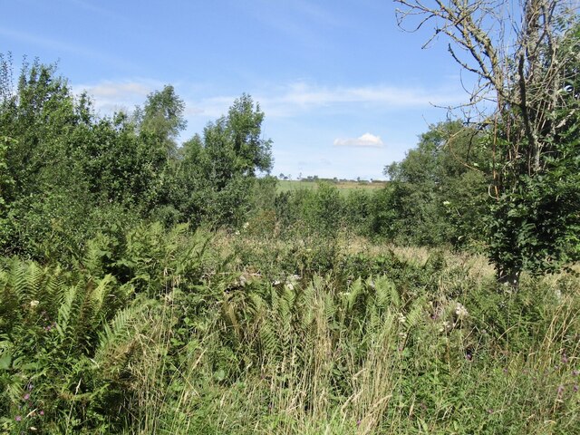
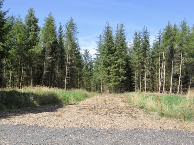
The plantation is primarily composed of a mix of broadleaf and coniferous trees, creating a diverse and vibrant ecosystem. Amongst the conifers, Sitka spruce and Douglas fir are particularly prominent, while oak, beech, and ash trees dominate the broadleaf section. This mix ensures a stunning display of colors throughout the year.
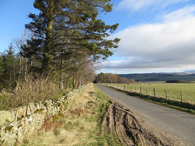
The woodland is intersected by Swinnie Burn, a small stream that meanders through the plantation, adding to its charm and providing a habitat for various aquatic species. The burn is also home to a number of picturesque waterfalls, further enhancing the beauty of the area.
Swinnie Burn Plantation is a haven for wildlife enthusiasts, boasting a rich variety of fauna. Visitors may spot red squirrels, roe deer, and numerous species of birds, including woodpeckers and tawny owls. The plantation is also known for its diverse flora, with carpets of bluebells and wild garlic covering the forest floor during spring.
The plantation offers several walking trails, allowing visitors to explore the woodland at their own pace. These trails range from easy strolls to more challenging hikes, catering to visitors of all fitness levels.
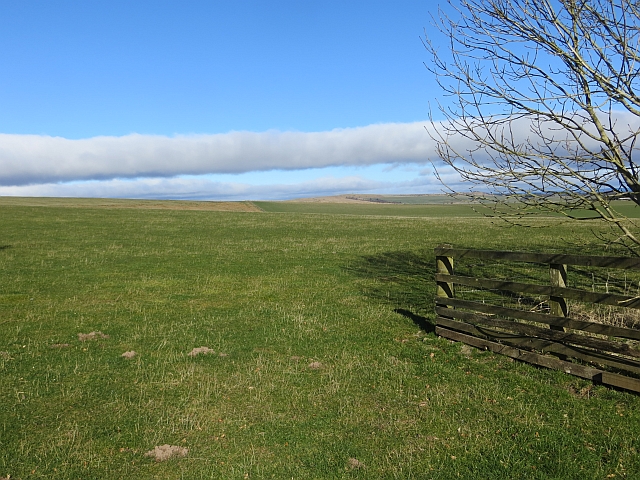
With its breathtaking scenery, diverse wildlife, and well-maintained trails, Swinnie Burn Plantation is a must-visit destination for nature lovers and those seeking a peaceful retreat in the heart of Roxburghshire.
If you have any feedback on the listing, please let us know in the comments section below.
Swinnie Burn Plantation Images
Images are sourced within 2km of 55.433468/-2.5861108 or Grid Reference NT6315. Thanks to Geograph Open Source API. All images are credited.
Swinnie Burn Plantation is located at Grid Ref: NT6315 (Lat: 55.433468, Lng: -2.5861108)
Unitary Authority: The Scottish Borders
Police Authority: The Lothians and Scottish Borders
What 3 Words
///unsettled.cleanser.skillet. Near Jedburgh, Scottish Borders
Nearby Locations
Related Wikis

Bairnkine
Bairnkine is a hamlet on the Jed Water in the Scottish Borders area of Scotland, on the A68, south of Jedburgh. Other places nearby include Abbotrule,...

Fulton Tower
Fulton Tower is a ruined 16th century tower house, about 4.5 miles (7.2 km) south west of Jedburgh, Scottish Borders, Scotland, and about 2 miles (3.2...

Ferniehirst Castle
Ferniehirst Castle (sometimes spelled Ferniehurst) is an L-shaped construction on the east bank of the Jed Water, about a mile and a half south of Jedburgh...

Abbotrule
Abbotrule is a hamlet south of the B6357 road, in the Scottish Borders area of Scotland, on Rule Burn, east of the Rule Water. Places nearby include Bedrule...
Nearby Amenities
Located within 500m of 55.433468,-2.5861108Have you been to Swinnie Burn Plantation?
Leave your review of Swinnie Burn Plantation below (or comments, questions and feedback).