Kingsford Moss

Wood, Forest in Aberdeenshire

Scotland

Kingsford Moss

There is a large track here according to the OS!
There is a large track here according to the OS! Credit: thejackrustles

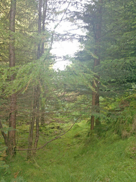
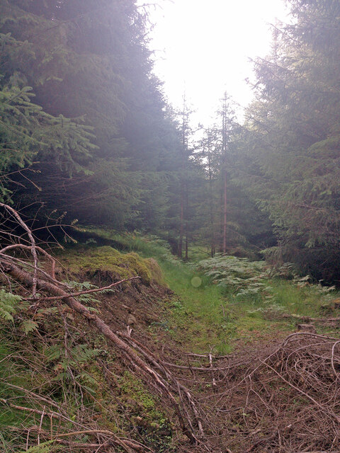
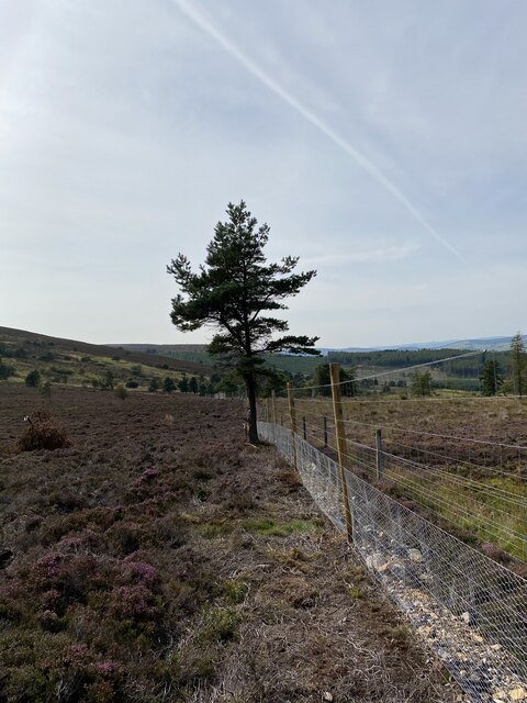
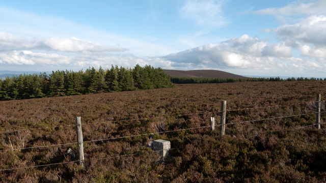
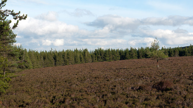
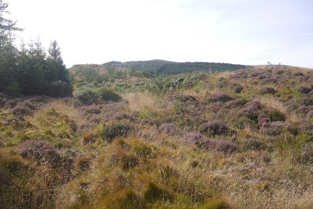
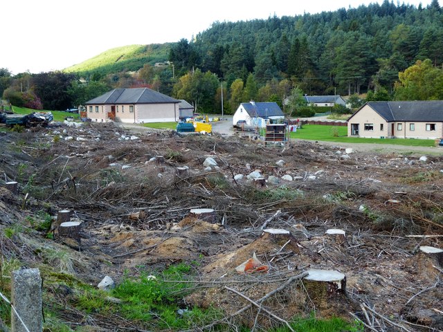
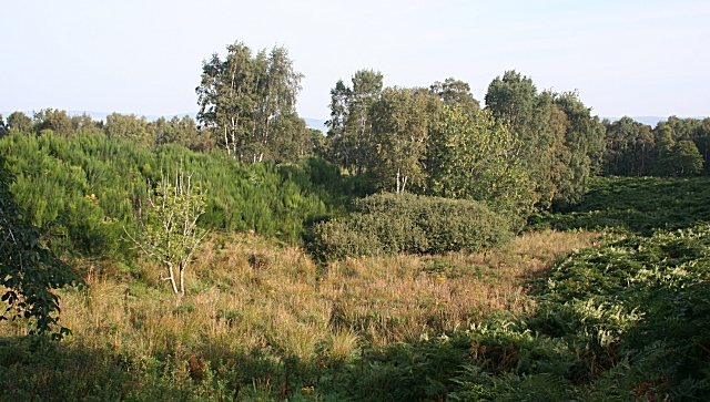
Kingsford Moss is a picturesque woodland located in Aberdeenshire, Scotland. Covering an area of approximately 100 acres, it is a diverse and thriving forest that offers a tranquil escape from the hustle and bustle of everyday life. The moss is situated near the village of Kingsford, about 10 miles west of Aberdeen.

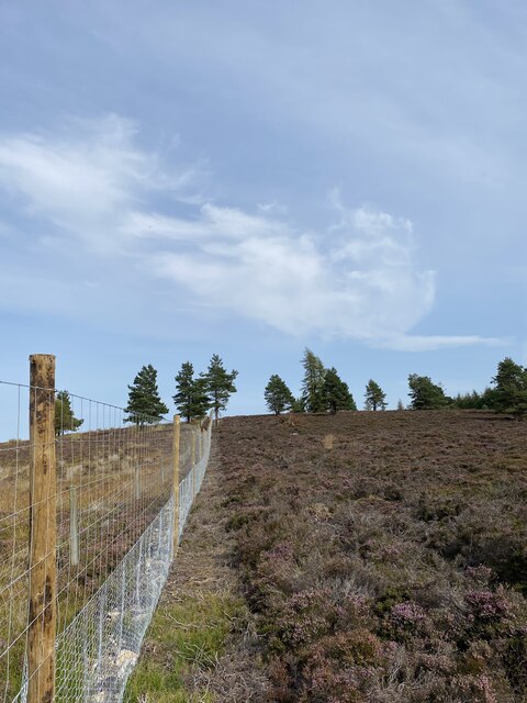
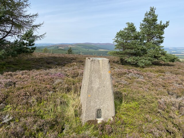
The woodland is predominantly composed of native Scottish trees, including oak, birch, and pine. The lush vegetation creates a rich and varied habitat for wildlife, making it a popular destination for nature enthusiasts and birdwatchers. Visitors can spot a wide range of bird species, such as woodpeckers, owls, and various songbirds.

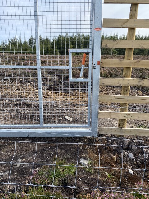
Kingsford Moss is also home to a network of well-maintained walking trails, allowing visitors to explore the woodland at their own pace. These paths wind through the forest, offering breathtaking views of the surrounding landscapes and providing an opportunity to observe the diverse flora and fauna up close.

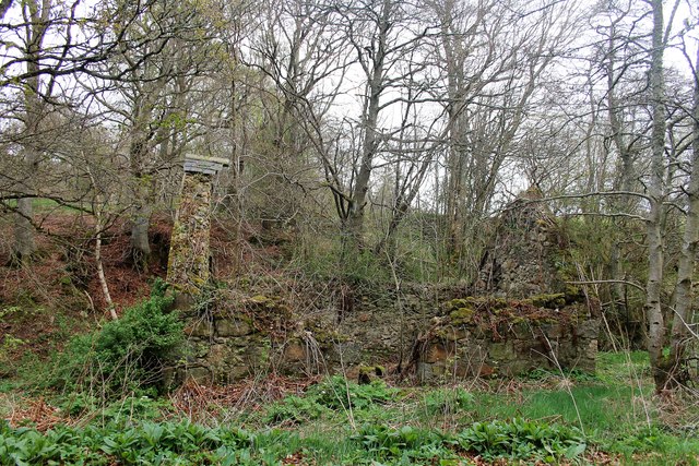
In addition to its natural beauty, Kingsford Moss holds historical significance. It is believed to have been used as a hunting ground by ancient Scottish clans, and remnants of old settlements can still be found within the woodland.

Overall, Kingsford Moss is a hidden gem in Aberdeenshire, offering a serene and enchanting environment for those seeking a peaceful retreat or a chance to connect with nature.

If you have any feedback on the listing, please let us know in the comments section below.

Kingsford Moss Images

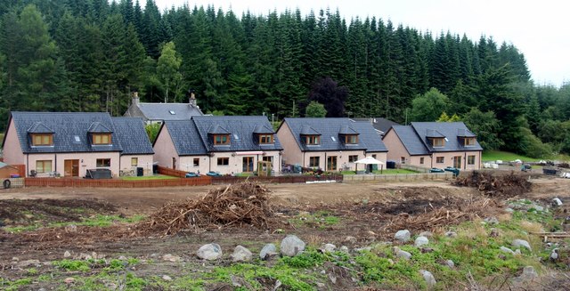
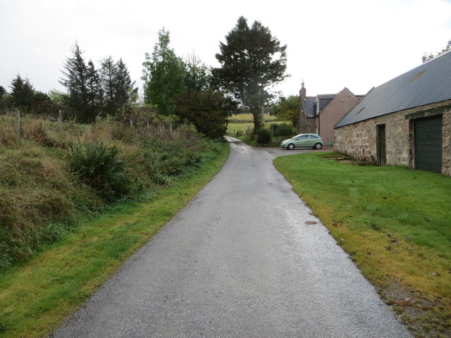
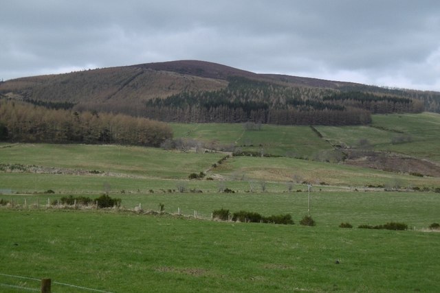
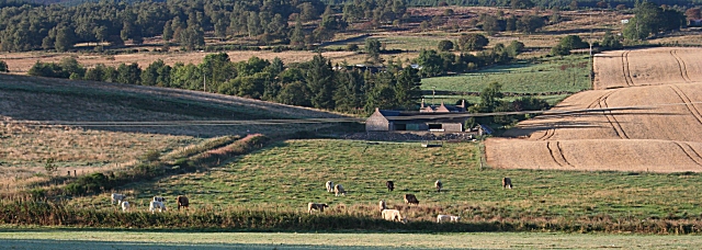
Images are sourced within 2km of 57.191027/-2.6138394 or Grid Reference NJ6311. Thanks to Geograph Open Source API. All images are credited.

There is a large track here according to the OS!
Still no sign of the track shown on the OS Map
New deer fence near Whitehill
Whitehill Trig Point Flush Bracket S5394
New deer fence near Whitehill
New gate and old barbed wire fence! Strange new human gate and along the way a large vehicle gate but all the other side of a barbed wire fence?
New gate and old barbed wire fence!
Strange new human gate and along the way a large vehicle gate but all the other side of a barbed wire fence?
Moorland of Red Hill with fence, boundary stone and woodland The fence crosses the north end of Red Hill on Corrennie Moor. The boundary stone is unmarked - others seen in the area are cut with letters. Beyond the trees can be seen Green Hill.
Moorland of Red Hill with fence, boundary stone and woodland
The fence crosses the north end of Red Hill on Corrennie Moor. The boundary stone is unmarked - others seen in the area are cut with letters. Beyond the trees can be seen Green Hill.
Heather moorland surrounded by trees North-east of Red Hill, part of Corrennie Moor, conifer plantings surround an area of heather moorland. A rogue tree stands alone.
Heather moorland surrounded by trees
North-east of Red Hill, part of Corrennie Moor, conifer plantings surround an area of heather moorland. A rogue tree stands alone.
On Tillyfourie Hill The lade shown on the 1:25,000 Ordnance Survey map is now dry and buried in heather.
On Tillyfourie Hill
The lade shown on the 1:25,000 Ordnance Survey map is now dry and buried in heather.
Cleared forest at Tillyfourie View towards Corrennie Quarry from the A944.
Cleared forest at Tillyfourie
View towards Corrennie Quarry from the A944.
Eastern elevation of Tough Church From inside the kirkyard.
Eastern elevation of Tough Church
From inside the kirkyard.
Ruin amongst Trees A ruined cottage by Garden Croft.
Ruin amongst Trees
A ruined cottage by Garden Croft.
New housing at Tillyfourie Site clearance suggests there may be more planned.
New housing at Tillyfourie
Site clearance suggests there may be more planned.
Track leaving the A944 road to enter Corrennie Forest Looking south-westward.
Track leaving the A944 road to enter Corrennie Forest
Looking south-westward.
Minor road at North Tillykerrie Looking south-westward towards the end of the public road.
Minor road at North Tillykerrie
Looking south-westward towards the end of the public road.
Green Hill, not far away The Corrennie Hills seen from the east.
Green Hill, not far away
The Corrennie Hills seen from the east.
Tillykerrie Looking south from the roadside at Tough. Pity about the wires across the view!
Tillykerrie
Looking south from the roadside at Tough. Pity about the wires across the view!
Woodhead Rough scrubland in a damp hollow east of Woodhead.
Woodhead
Rough scrubland in a damp hollow east of Woodhead.
Show me another place!

Kingsford Moss is located at Grid Ref: NJ6311 (Lat: 57.191027, Lng: -2.6138394)

Unitary Authority: Aberdeenshire

Police Authority: North East

What 3 Words

///sleepers.shepherds.strapped. Near Sauchen, Aberdeenshire

Nearby Locations

Kingsford Moss Glenhead

Related Wikis

Tillyfourie railway station

Tillyfourie railway station was a railway station serving Tillyfourie, Aberdeenshire, Scotland. The station opened on 2 June 1860 on the Alford Valley...

Tillyfourie

Tillyfourie is a hamlet in Aberdeenshire, Scotland. It is situated at the junction between the A944 road and the B993 road. A disused quarry and a stone...

Kirkton of Tough

Kirkton of Tough, usually shortened to Tough ( TUUKH), is a settlement in the Marr area of Aberdeenshire, Scotland at grid reference NJ615129. It is about...

Tillycairn Castle

Tillycairn Castle is an L-plan castle, dating from the 16th century, standing on high ground around 2.0 miles (3.2 km) south-east of Cluny in Aberdeenshire...

Have you been to Kingsford Moss?

Leave your review of Kingsford Moss below (or comments, questions and feedback).