Swinie Plantation
Wood, Forest in Roxburghshire
Scotland
Swinie Plantation
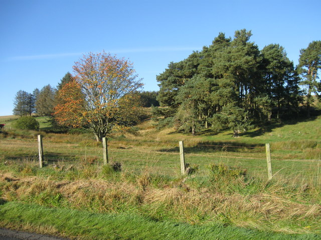
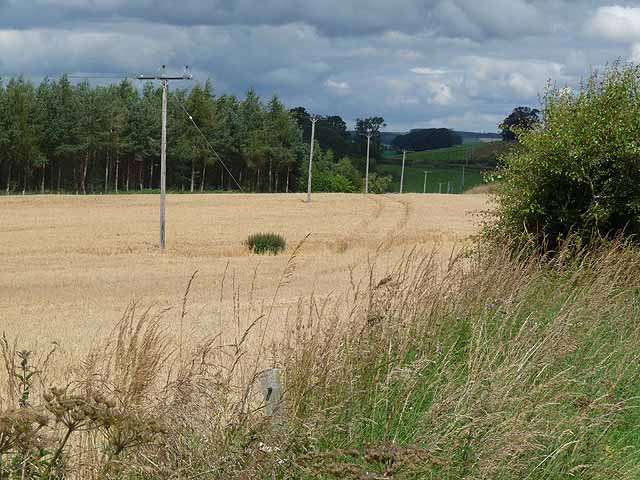
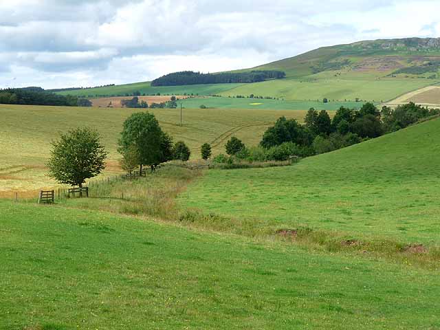
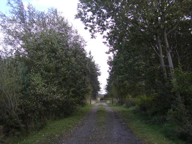
Swinie Plantation is a charming woodland located in Roxburghshire, a historic county in the Scottish Borders region of Scotland. Situated amidst breathtaking natural surroundings, this forested area covers a vast expanse of approximately 100 acres.
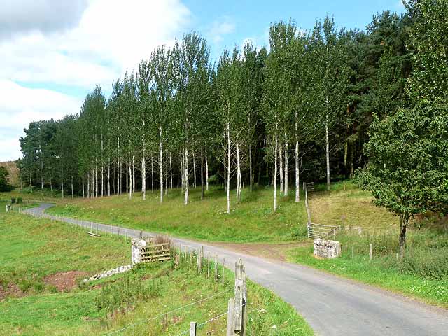
The plantation is primarily composed of a mix of native tree species, including oak, birch, and beech, which thrive in the fertile soil of the region. The trees form a dense canopy that provides shade and shelter to a variety of flora and fauna. The woodland floor is adorned with an array of wildflowers, ferns, and mosses, creating a picturesque landscape.
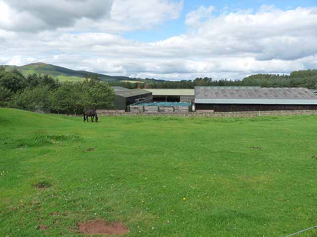
Swinie Plantation offers an ideal habitat for many species of wildlife. Bird enthusiasts can spot a diverse range of avian species, such as woodpeckers, owls, and songbirds, which thrive in the woodland's rich ecosystem. The forest is also home to mammals like red squirrels, roe deer, and badgers, which can occasionally be glimpsed foraging among the trees.
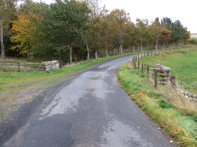
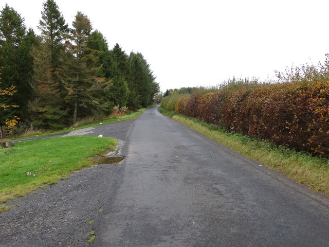
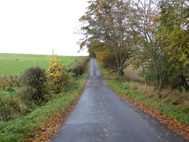
The plantation is a popular destination for nature lovers, hikers, and outdoor enthusiasts, offering a network of well-maintained trails that wind through the forest. These trails provide visitors with the opportunity to explore the enchanting woodland at their leisure, immersing themselves in the tranquil atmosphere and enjoying the beauty of the natural surroundings.
Whether it's a leisurely walk, birdwatching, or simply seeking solace in nature, Swinie Plantation offers a serene and captivating experience for visitors of all ages. Its idyllic setting and diverse ecosystem make it a cherished natural treasure in Roxburghshire, providing a haven for both wildlife and humans alike.
If you have any feedback on the listing, please let us know in the comments section below.
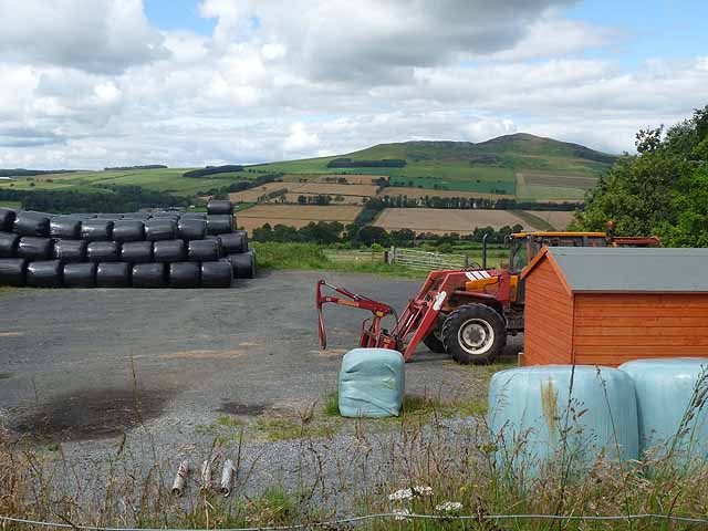
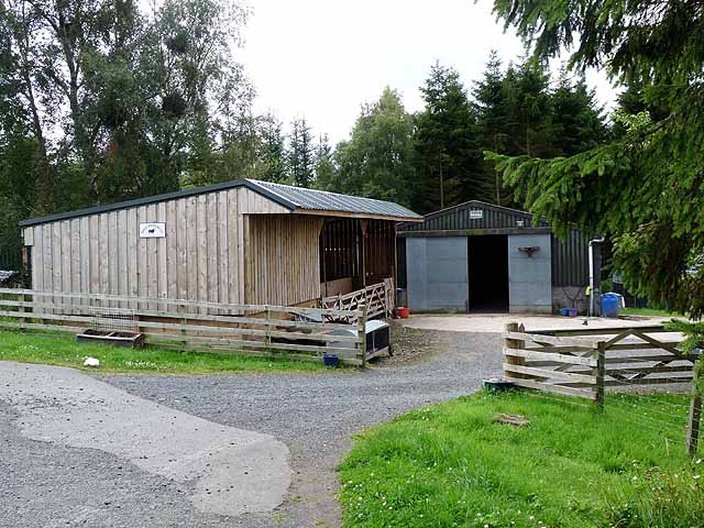
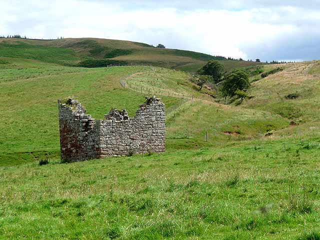
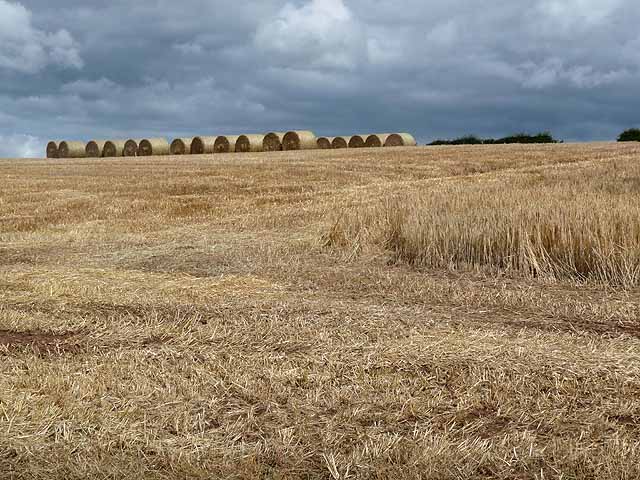
Swinie Plantation Images
Images are sourced within 2km of 55.42938/-2.6008722 or Grid Reference NT6215. Thanks to Geograph Open Source API. All images are credited.

Swinie Plantation is located at Grid Ref: NT6215 (Lat: 55.42938, Lng: -2.6008722)
Unitary Authority: The Scottish Borders
Police Authority: The Lothians and Scottish Borders
What 3 Words
///scare.shatters.coil. Near Jedburgh, Scottish Borders
Nearby Locations
Related Wikis

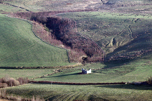
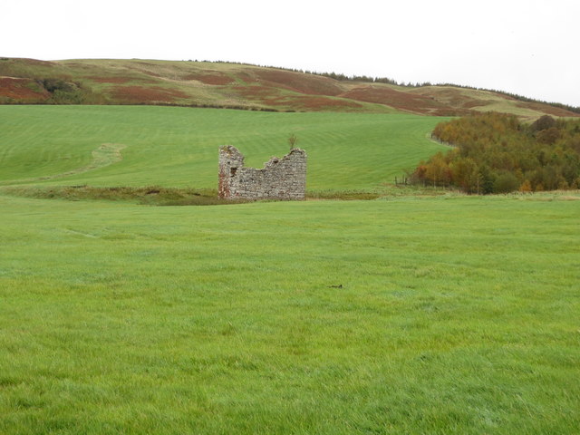
Fulton Tower
Fulton Tower is a ruined 16th century tower house, about 4.5 miles (7.2 km) south west of Jedburgh, Scottish Borders, Scotland, and about 2 miles (3.2...

Abbotrule
Abbotrule is a hamlet south of the B6357 road, in the Scottish Borders area of Scotland, on Rule Burn, east of the Rule Water. Places nearby include Bedrule...

Hallrule
Hallrule is a hamlet on the B6357 road, in the Scottish Borders area of Scotland, on the Rule Water, near Abbotrule, Bedrule Bonchester Bridge, Denholm...

Bairnkine
Bairnkine is a hamlet on the Jed Water in the Scottish Borders area of Scotland, on the A68, south of Jedburgh. Other places nearby include Abbotrule,...
Have you been to Swinie Plantation?
Leave your review of Swinie Plantation below (or comments, questions and feedback).