West Tillysole Wood
Wood, Forest in Angus
Scotland
West Tillysole Wood
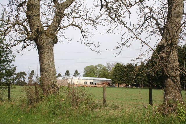
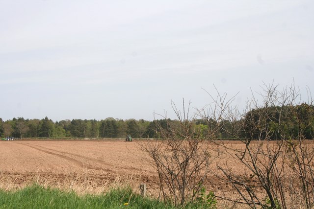
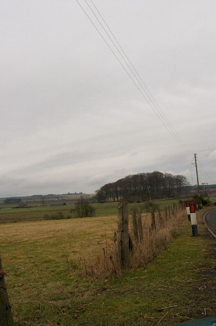
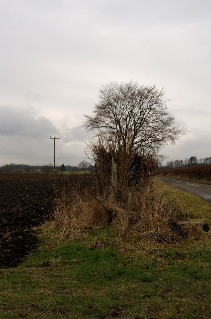
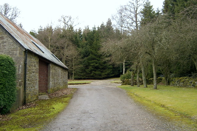
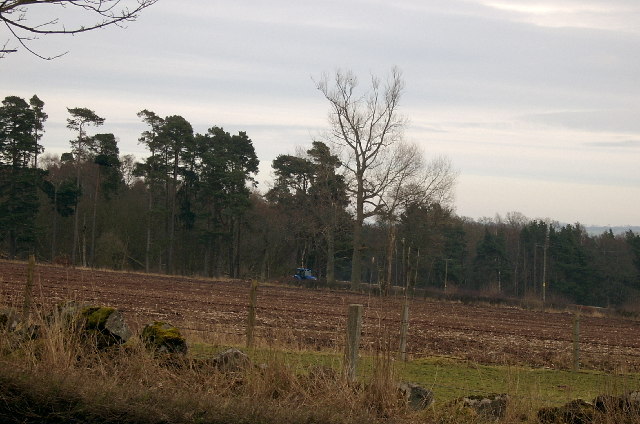
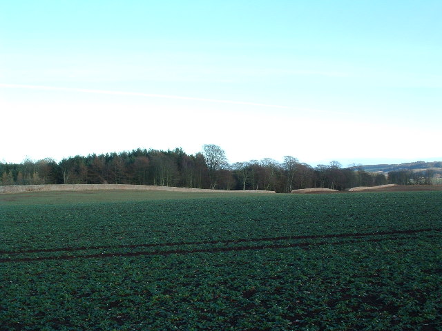
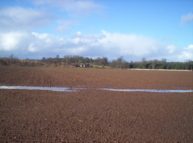
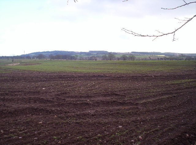
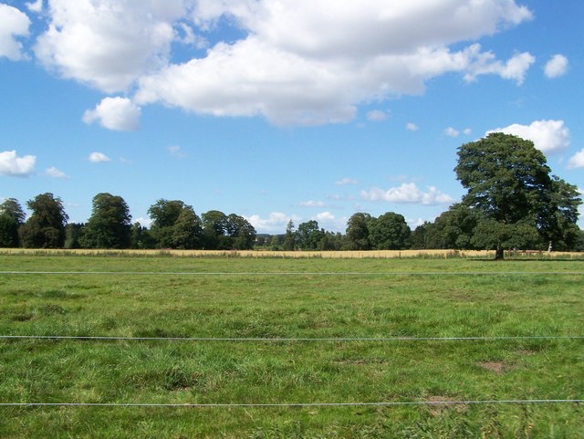
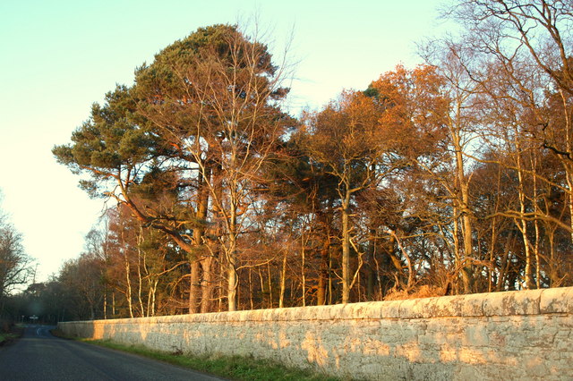
West Tillysole Wood is a picturesque forest located in the county of Angus, Scotland. Situated near the village of Tillysole, the wood covers an area of approximately 50 acres and forms part of the larger Tillysole Estate.
The woodland consists mainly of native broadleaf trees, including oak, birch, and rowan, which create a dense and diverse canopy. These trees provide a habitat for a wide variety of wildlife, including birds such as woodpeckers, owls, and chaffinches, as well as mammals like deer, squirrels, and foxes.
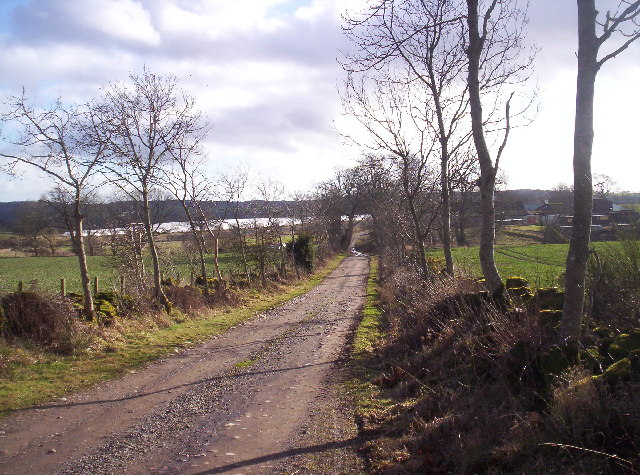
Visitors to West Tillysole Wood can enjoy a network of well-maintained walking trails that wind through the forest. These paths offer an opportunity to explore the natural beauty of the woodland while taking in the fresh air and peaceful ambiance. The trails are suitable for all ages and abilities, making them a popular choice for families and casual walkers.
In addition to its natural beauty, West Tillysole Wood also has historical significance. The wood is home to a ruined stone circle, believed to be of ancient origin, which adds an intriguing element to the area's charm.
Overall, West Tillysole Wood is a tranquil and enchanting forest that offers a delightful escape from the hustle and bustle of everyday life. Whether visitors seek a leisurely stroll, a wildlife-watching adventure, or a glimpse into the past, this woodland provides a captivating experience for all who visit.
If you have any feedback on the listing, please let us know in the comments section below.
West Tillysole Wood Images
Images are sourced within 2km of 56.700384/-2.6227615 or Grid Reference NO6156. Thanks to Geograph Open Source API. All images are credited.

West Tillysole Wood is located at Grid Ref: NO6156 (Lat: 56.700384, Lng: -2.6227615)
Unitary Authority: Angus
Police Authority: Tayside
What 3 Words
///candles.immune.motivator. Near Brechin, Angus
Nearby Locations
Related Wikis

Farnell, Angus
Farnell is a village in Angus, Scotland. It lies 2 miles south of the River South Esk, between Brechin and Montrose, near Kinnaird Castle. == References ==

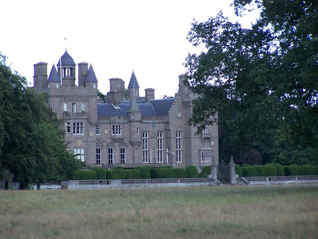
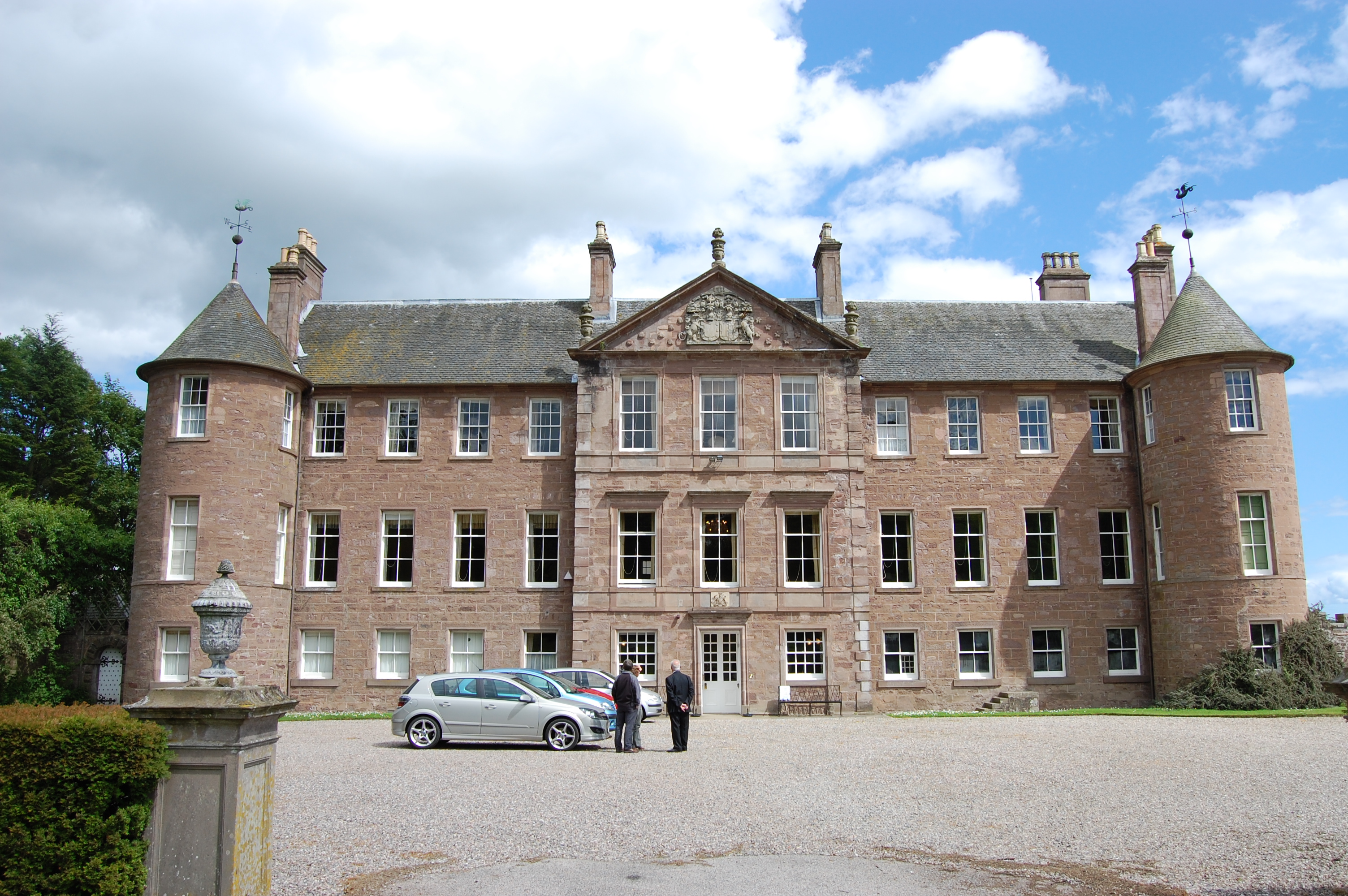
Kinnaird Castle, Brechin
Kinnaird Castle is a 15th-century castle near Brechin in Angus, Scotland. The castle has been home to the Carnegie family, the Earls of Southesk, for more...

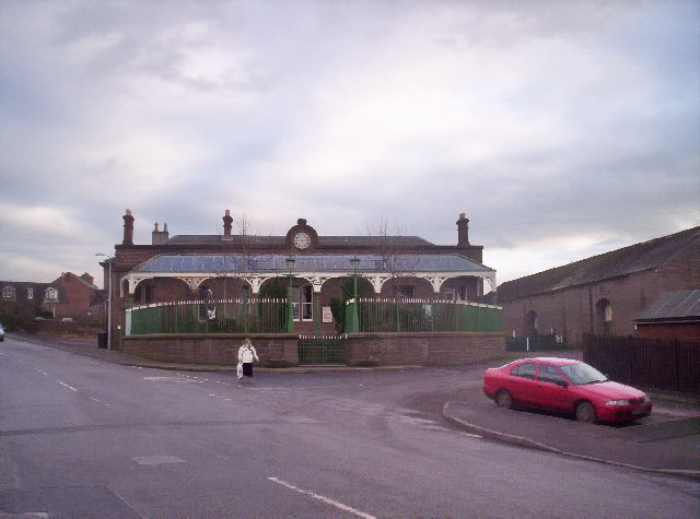
Farnell Road railway station
Farnell Road railway station served the village of Farnell, Angus, Scotland from 1848 to 1956 on the Aberdeen Railway. == History == The station opened...
Ardovie
Ardovie is a settlement on the perimeter of Montreathmont Moor, 3 miles south of Brechin. == References == == See also == Brechin
Brechin Victoria F.C.
Brechin Victoria Junior Football Club are a Scottish Junior football club based in Brechin, Angus. Their home ground is Victoria Park. The club have recently...

Brechin
Brechin (; Scottish Gaelic: Breichin) is a town and former Royal burgh in Angus, Scotland. Traditionally Brechin was described as a city because of its...
Brechin railway station
Brechin is a station in Angus, on the Caledonian Railway line. == History == The station opened for business on 1 February 1848. Initially four trains...
Brechin Castle
Brechin Castle is a castle in Brechin, Angus, Scotland. The castle was constructed in stone during the 13th century. Most of the current building dates...
Nearby Amenities
Located within 500m of 56.700384,-2.6227615Have you been to West Tillysole Wood?
Leave your review of West Tillysole Wood below (or comments, questions and feedback).