Lustruther Strip
Wood, Forest in Roxburghshire
Scotland
Lustruther Strip
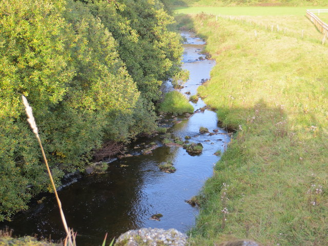
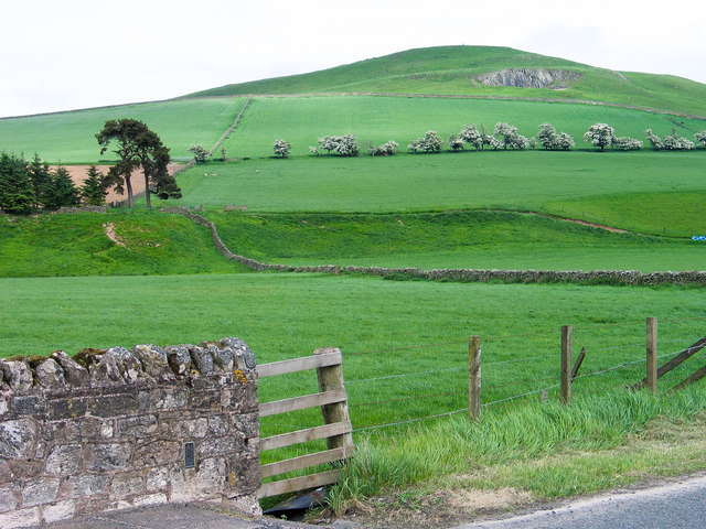
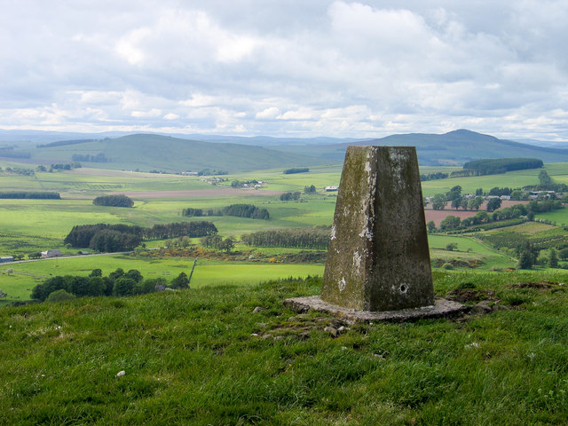
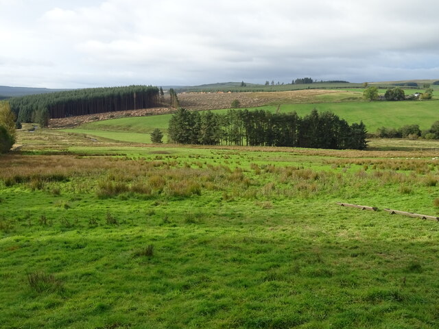
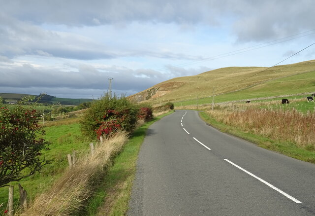
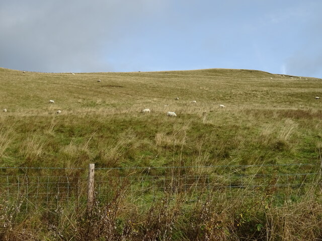
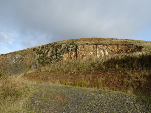
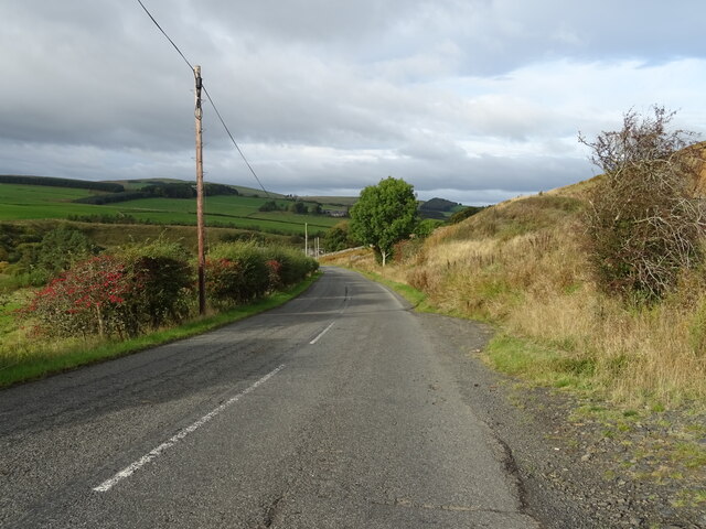
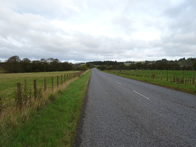
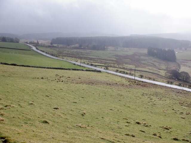
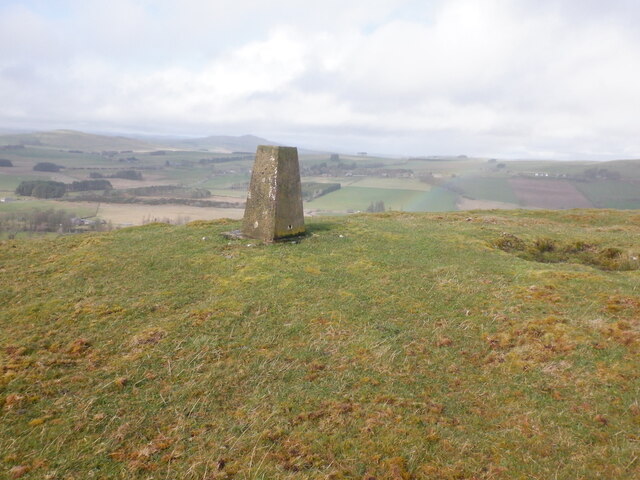
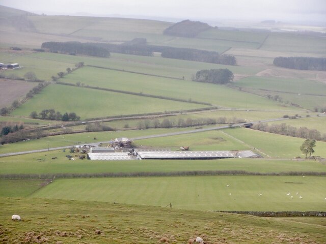
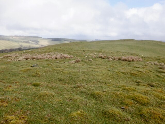
Lustruther Strip is a picturesque wood located in the county of Roxburghshire, Scotland. Situated in the heart of the Scottish Borders, this enchanting forest is renowned for its natural beauty and tranquil atmosphere. Spanning over several acres, Lustruther Strip offers a serene escape from the hustle and bustle of everyday life.
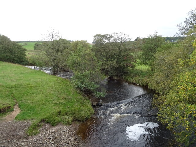
The wood is primarily composed of a mixture of broadleaf and coniferous trees, creating a diverse ecosystem that attracts a wide variety of wildlife. Visitors to Lustruther Strip can expect to encounter an array of bird species, including woodpeckers, owls, and various songbirds. Mammals such as red squirrels, badgers, and deer are also frequently spotted within the forest, adding to its allure.
Several well-maintained walking trails wind their way through the wood, allowing visitors to explore its stunning landscapes at their own pace. These paths offer breathtaking views of the surrounding countryside and are suitable for individuals of all ages and abilities. Along the way, informative signage provides insights into the local flora and fauna, enhancing the educational and recreational experience.
Lustruther Strip is a popular destination for nature enthusiasts, hikers, and photographers seeking to capture the beauty of the Scottish countryside. Its close proximity to nearby towns and villages makes it easily accessible to both locals and tourists alike. This hidden gem of Roxburghshire offers an idyllic retreat for those seeking solace in nature's embrace.
If you have any feedback on the listing, please let us know in the comments section below.
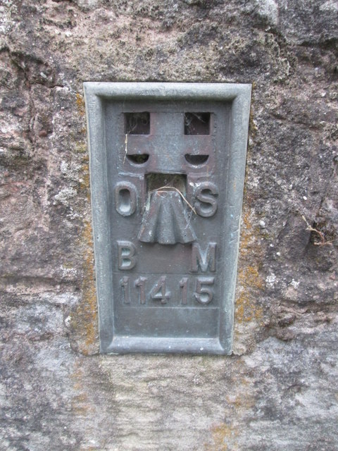
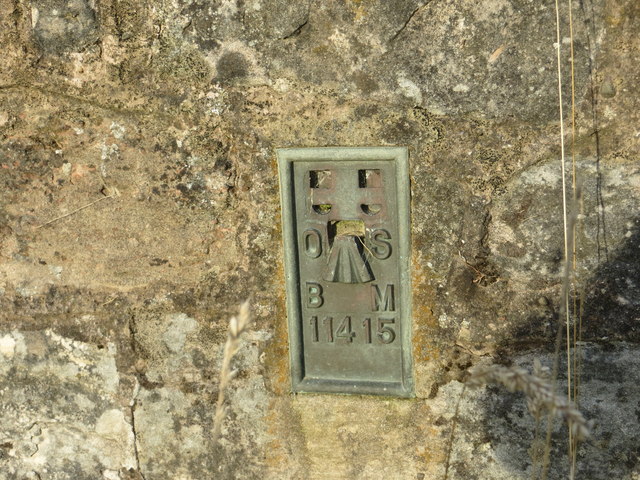
Lustruther Strip Images
Images are sourced within 2km of 55.373152/-2.6018341 or Grid Reference NT6108. Thanks to Geograph Open Source API. All images are credited.
Lustruther Strip is located at Grid Ref: NT6108 (Lat: 55.373152, Lng: -2.6018341)
Unitary Authority: The Scottish Borders
Police Authority: The Lothians and Scottish Borders
What 3 Words
///create.chugging.carriage. Near Jedburgh, Scottish Borders
Nearby Locations
Related Wikis

Southdean
Southdean is a hamlet in the Scottish Borders area of Scotland, on the A6088, by the Jed Water and in the Wauchope Forest area. Other settlements nearby...

Wauchope, Scottish Borders
Wauchope is a hamlet in the Scottish Borders council area of Scotland, near Southdean. Wauchope House was demolished in 1932. == See also == Wauchope Forest...

Hobkirk
Hobkirk (Scottish Gaelic: Eaglais Ruail) is a village and civil parish in the Scottish Borders area of Scotland, by the Rule Water, south-west of Jedburgh...

Abbotrule
Abbotrule is a hamlet south of the B6357 road, in the Scottish Borders area of Scotland, on Rule Burn, east of the Rule Water. Places nearby include Bedrule...

Bonchester Bridge
Bonchester Bridge (Scots Binster Brig) is a village in Roxburghshire, within the Scottish Borders area of Scotland, lying on the Rule Water, six miles...

Hallrule
Hallrule is a hamlet on the B6357 road, in the Scottish Borders area of Scotland, on the Rule Water, near Abbotrule, Bedrule Bonchester Bridge, Denholm...

Wauchope Forest
Wauchope Forest is a forest on the Rule Water, in the Scottish Borders area of Scotland, south of Hawick, and including the A6088, the A68 and the B6357...
Fulton Tower
Fulton Tower is a ruined 16th century tower house, about 4.5 miles (7.2 km) south west of Jedburgh, Scottish Borders, Scotland, and about 2 miles (3.2...
Nearby Amenities
Located within 500m of 55.373152,-2.6018341Have you been to Lustruther Strip?
Leave your review of Lustruther Strip below (or comments, questions and feedback).