Ruecastle Covert

Wood, Forest in Roxburghshire

Scotland

Ruecastle Covert

Path by Jedburgh Golf Course The path is part of the Circular Riding Route and follows the golf course boundary towards Lanton Hill.
Path by Jedburgh Golf Course Credit: Jim Barton

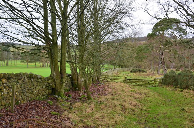
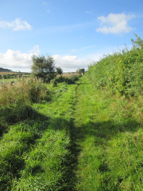
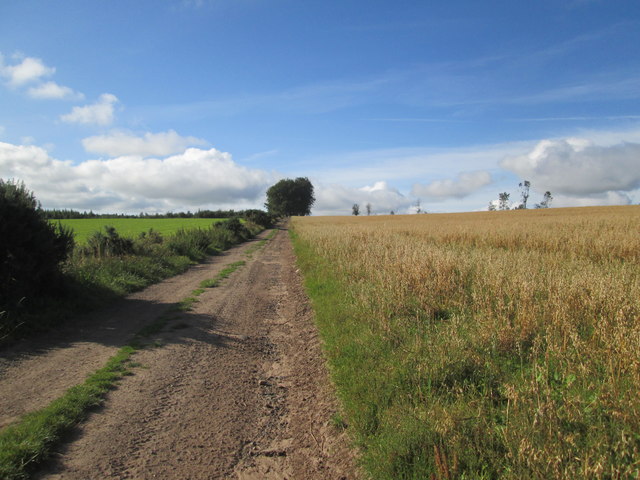
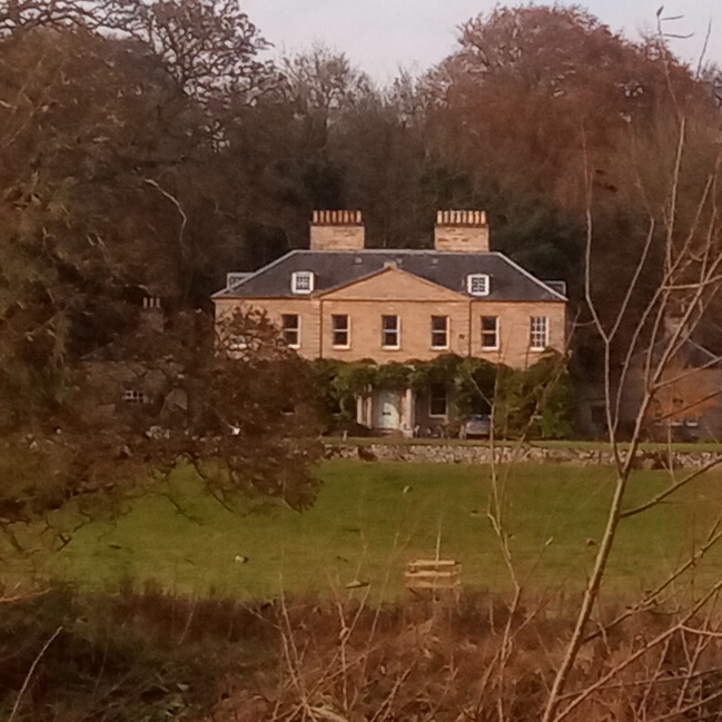
Ruecastle Covert is a scenic woodland located in the picturesque region of Roxburghshire, Scotland. Covering an area of approximately 100 acres, this enchanting forest is a haven for nature enthusiasts and offers a tranquil retreat from the bustling city life.

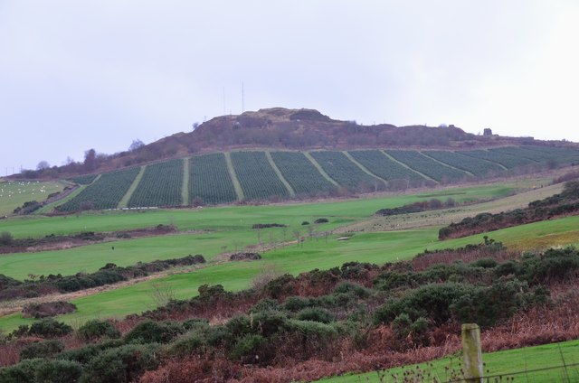
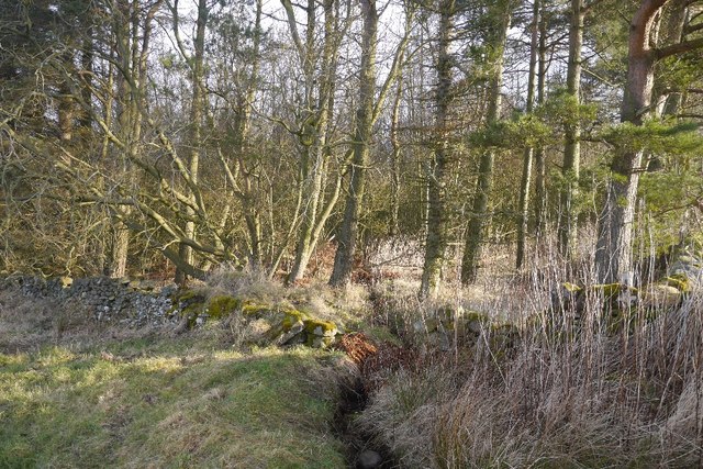
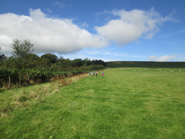
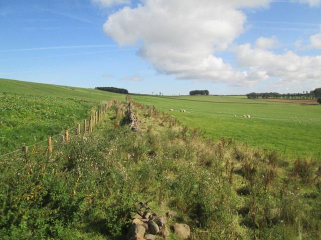
Situated amidst rolling hills and lush greenery, Ruecastle Covert boasts a diverse range of flora and fauna. The woodland is predominantly composed of native tree species such as oak, birch, and beech, which create a dense canopy overhead. This creates a shaded and cool environment, perfect for leisurely walks or hikes on warm summer days.

The forest floor is adorned with a rich carpet of wildflowers, including bluebells, primroses, and wood sorrel, adding a splash of color to the serene surroundings. The abundance of plant life also provides a habitat for various woodland creatures, such as red squirrels, roe deer, and a variety of bird species, including woodpeckers and owls.

For outdoor enthusiasts, Ruecastle Covert offers several well-maintained trails and paths, allowing visitors to explore the woodland at their own pace. These paths wind through the forest, offering breathtaking views of the surrounding countryside and opportunities for birdwatching.

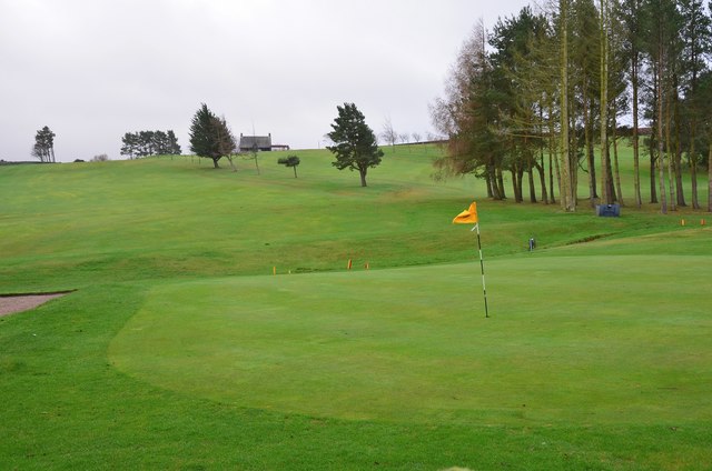
Ruecastle Covert is a popular destination for nature lovers, hikers, and photographers seeking solace in the beauty of nature. Its tranquil atmosphere and stunning natural scenery make it an ideal location for those looking to escape the hustle and bustle of everyday life and immerse themselves in the serenity of the Scottish countryside.

If you have any feedback on the listing, please let us know in the comments section below.

Ruecastle Covert Images

Images are sourced within 2km of 55.467391/-2.6077772 or Grid Reference NT6119. Thanks to Geograph Open Source API. All images are credited.

Path by Jedburgh Golf Course The path is part of the Circular Riding Route and follows the golf course boundary towards Lanton Hill.
Path by Jedburgh Golf Course
The path is part of the Circular Riding Route and follows the golf course boundary towards Lanton Hill.
Jedburgh Golf Course Looking back up to the clubhouse from the Circular Riding Route.
Jedburgh Golf Course
Looking back up to the clubhouse from the Circular Riding Route.
Dunion Hill Dunion Hill is a secondary summit NE of Black Law. Its NE side, seen here from near the golf course, has been planted with blocks of trees.
Dunion Hill
Dunion Hill is a secondary summit NE of Black Law. Its NE side, seen here from near the golf course, has been planted with blocks of trees.
Woodland, Ruecastle A small conifer plantation.
Woodland, Ruecastle
A small conifer plantation.
Minor road enclosed between hedge and woodland near to Monks Pond Looking south-westward.
Minor road enclosed between hedge and woodland near to Monks Pond
Looking south-westward.
Minor road near Bedrule on a frosty December morning Looking north-eastward.
Minor road near Bedrule on a frosty December morning
Looking north-eastward.
Field  edge  track  toward  Todlaw  Wells  Plantation Borders Abbeys Way
Field edge track toward Todlaw Wells Plantation
Borders Abbeys Way
Field  track  to  Todlaw  Wells  Plantation Borders Abbeys Way
Field track to Todlaw Wells Plantation
Borders Abbeys Way
This  section  of  Todlaw  Wells  Plantation  felled  and  cleared Dunion Hill in the background
This section of Todlaw Wells Plantation felled and cleared
Dunion Hill in the background
Borders  Abbeys  Way  through  sheep  pasture On the left the trees in Merlin Dean, the mast on top of black Law on the skyline right of centre
Borders Abbeys Way through sheep pasture
On the left the trees in Merlin Dean, the mast on top of black Law on the skyline right of centre
New  Fence.  Wall  not  fit  for  purpose From B A Way toward Todlaw Plantation
New Fence. Wall not fit for purpose
From B A Way toward Todlaw Plantation
Borders  Abbeys  Way  on  the  slope  of  Black  Law The wall on the left separates the farmed land from the moorland/rough grazing around the top of Black Law
Borders Abbeys Way on the slope of Black Law
The wall on the left separates the farmed land from the moorland/rough grazing around the top of Black Law
Borders  Abbeys  Way  up  to  Black  Law The B A Way goes left at the wall. Mast on the skyline
Borders Abbeys Way up to Black Law
The B A Way goes left at the wall. Mast on the skyline
Borders  Abbeys  Way  on  Black  Law Mast on the top
Borders Abbeys Way on Black Law
Mast on the top
Borders  Abbeys  Way  on  Black  Law Across this rough section then drop down toward Bedrule
Borders Abbeys Way on Black Law
Across this rough section then drop down toward Bedrule
Descending  from  Black  Law  toward  Bedrule An excellent view of the extinct volcano Rubers Law
Descending from Black Law toward Bedrule
An excellent view of the extinct volcano Rubers Law
Borders  Abbeys  Way  toward  Bedrule The B A Way follows this wall along to a track going right to the road at Bedrule
Borders Abbeys Way toward Bedrule
The B A Way follows this wall along to a track going right to the road at Bedrule
Start of the path Start of a footpath next to Jedburgh golf club. It was pretty overgrown but a single track was manageable. In fact it was all the better for being overgrown as the wildlife was abundant.
Start of the path
Start of a footpath next to Jedburgh golf club. It was pretty overgrown but a single track was manageable. In fact it was all the better for being overgrown as the wildlife was abundant.
Show me another place!

Ruecastle Covert is located at Grid Ref: NT6119 (Lat: 55.467391, Lng: -2.6077772)

Unitary Authority: The Scottish Borders

Police Authority: The Lothians and Scottish Borders

What 3 Words

///unscathed.outbound.twig. Near Jedburgh, Scottish Borders

Nearby Locations

Ruecastle Covert

Related Wikis

Lanton, Scottish Borders

Lanton is a village in the Scottish Borders area of Scotland, near Jedburgh and Timpendean Tower, off the A698. == See also == List of places in the Scottish...

Lanton Tower

Lanton Tower is a 16th-century tower house, about 2.0 miles (3.2 km) northwest of Jedburgh, Scottish Borders, Scotland, at Lanton. == History == In 1513...

Bedrule

Bedrule (Scottish Gaelic: Ruail Bheathaig) is a hamlet and civil parish in the historic county of Roxburghshire in the Scottish Borders area of Scotland...

Bedrule Castle

Bedrule Castle is a ruined 13th-century castle in the Rule Valley, in the Scottish Borders area of Scotland.The castle was built in the 13th century by...

Spittal-on-Rule

Spittal-on-Rule is a farm in the council area of Scottish Borders in Scotland. As the name suggests it is situated on the river Rule Water, and the Spittal...

Chesters (estate)

Chesters is a 1,565-acre (633 ha) country estate near Ancrum, located on the banks of the River Teviot in the Scottish Borders area of Scotland. The estate...

Jedburgh Castle

Jedburgh Castle was a castle at Jedburgh in Scotland. It was fought over during the Wars of Scottish Independence, and was demolished by the Scots commanded...

Rule Water

The Rule Water is a river in the Scottish Borders area of Scotland, and a tributary of the River Teviot. The Rule Water rises in Wauchope Forest and passes...

Nearby Amenities

Located within 500m of 55.467391,-2.6077772
Power: pole
Lat/Long: 55.4631396/-2.6100812
Power: pole
Lat/Long: 55.4631729/-2.6090022
Power: pole
Lat/Long: 55.4632009/-2.6080936
Power: pole
Lat/Long: 55.4632295/-2.6071645
Power: pole
Lat/Long: 55.4632708/-2.6103056
Power: pole
Lat/Long: 55.4633063/-2.609492
Power: pole
Lat/Long: 55.4633362/-2.6087345
Power: pole
Lat/Long: 55.4633885/-2.6072753
Power: pole
Lat/Long: 55.4637585/-2.6063161
Power: pole
Lat/Long: 55.4638843/-2.6065179
Power: pole
Lat/Long: 55.4642068/-2.6055971
Power: pole
Lat/Long: 55.4643385/-2.6057866
Power: pole
Lat/Long: 55.4646597/-2.6048708
Power: pole
Lat/Long: 55.4647821/-2.6050693
Power: pole
Lat/Long: 55.465133/-2.6041118
Power: pole
Lat/Long: 55.4652495/-2.6043053
Power: pole
Lat/Long: 55.4655755/-2.603402
Power: pole
Lat/Long: 55.4657169/-2.6035973
Power: pole
Lat/Long: 55.4661488/-2.6024827
Power: pole
Lat/Long: 55.4662926/-2.6026517
Power: pole
Lat/Long: 55.466727/-2.6015554
Power: pole
Lat/Long: 55.4668683/-2.6017387
Power: pole
Lat/Long: 55.4672926/-2.6006482
Power: pole
Lat/Long: 55.467436/-2.600835
Material: wood
Power: pole
Lat/Long: 55.4677522/-2.5999112
Material: wood
Power: pole
Lat/Long: 55.4678717/-2.600127
Power: pole
Lat/Long: 55.4690988/-2.6005546
Power: pole
Lat/Long: 55.4695731/-2.601579
Power: pole
Lat/Long: 55.4700454/-2.60261
Power: pole
Lat/Long: 55.4704823/-2.6035553
Power: pole
Lat/Long: 55.4709099/-2.6044677
Power: pole
Lat/Long: 55.4713747/-2.6054657
The data included in this document is from www.openstreetmap.org. The data is made available under ODbL.

Have you been to Ruecastle Covert?

Leave your review of Ruecastle Covert below (or comments, questions and feedback).