Ruletownhead Plantation
Wood, Forest in Roxburghshire
Scotland
Ruletownhead Plantation

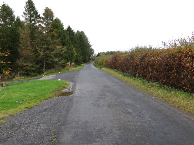
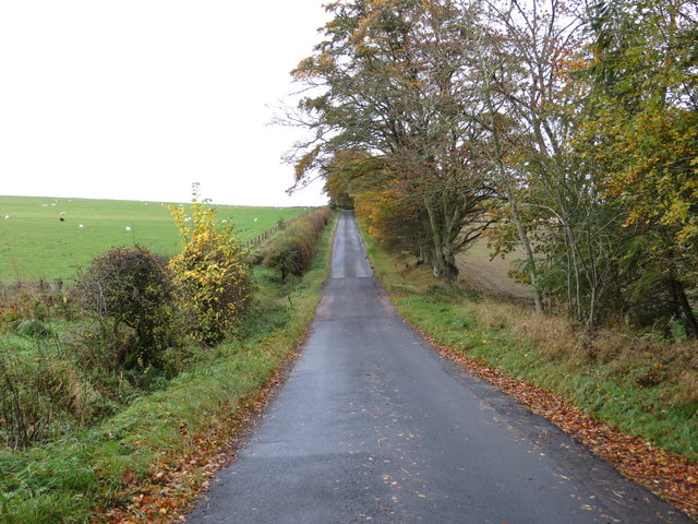
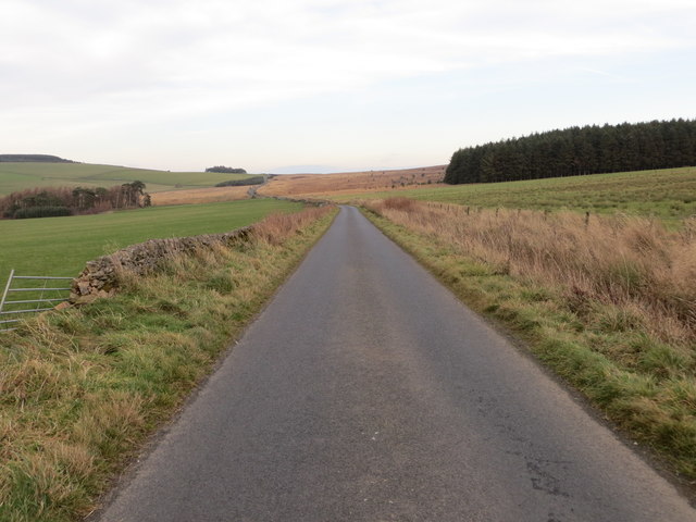
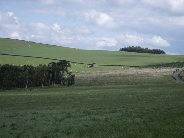
Ruletownhead Plantation is a sprawling woodland located in the county of Roxburghshire, in the southern region of Scotland. Covering an area of approximately 500 hectares, the plantation is nestled within the picturesque landscape of the Scottish Borders.
The woodland is predominantly composed of a mixture of broadleaf and coniferous trees, creating a diverse and vibrant ecosystem. The plantation boasts a rich variety of tree species, including oak, beech, birch, and pine, which provide a habitat for a wide array of flora and fauna.
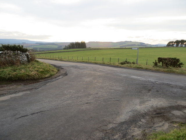
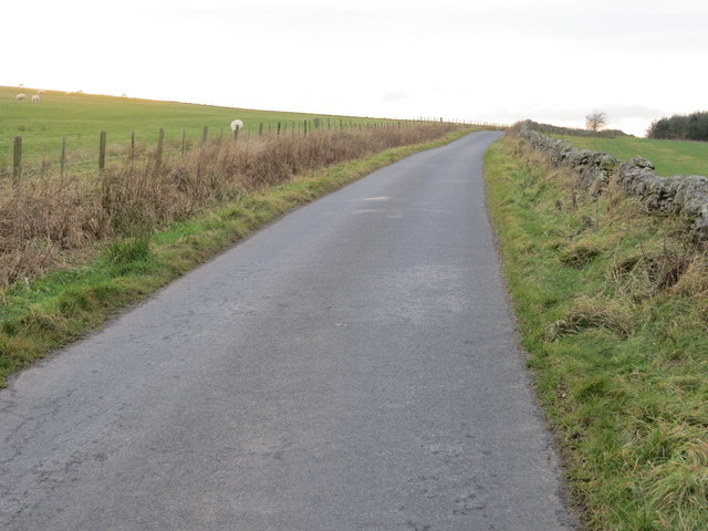
Visitors to Ruletownhead Plantation can explore its extensive network of well-maintained walking trails, which wind through the woodland and offer stunning views of the surrounding countryside. These trails cater to all levels of fitness and provide an opportunity to immerse oneself in nature and enjoy the tranquility of the forest.
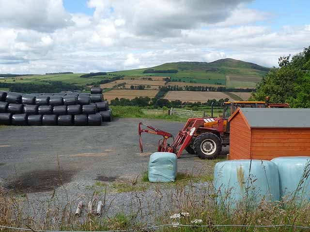
The plantation is managed by the local forestry commission, who are dedicated to preserving its natural beauty and ensuring its sustainable use. They employ sustainable forestry practices, such as selective tree felling and replanting, to maintain the health and vitality of the woodland.
In addition to its natural beauty, Ruletownhead Plantation also holds historical significance. The plantation sits on land that was once part of an ancient royal hunting ground, and remnants of old hunting lodges and structures can still be found within the woodland.
Overall, Ruletownhead Plantation is a captivating destination for nature enthusiasts, offering a harmonious blend of natural beauty, recreational opportunities, and historical significance.
If you have any feedback on the listing, please let us know in the comments section below.
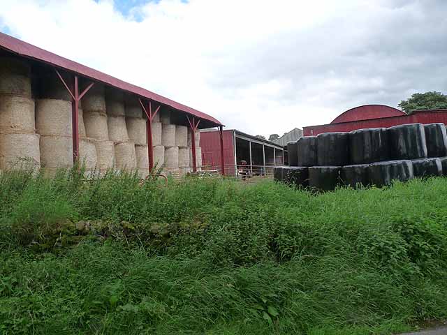
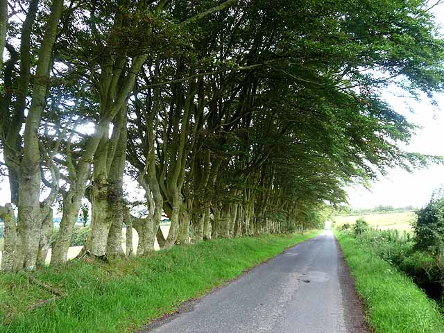
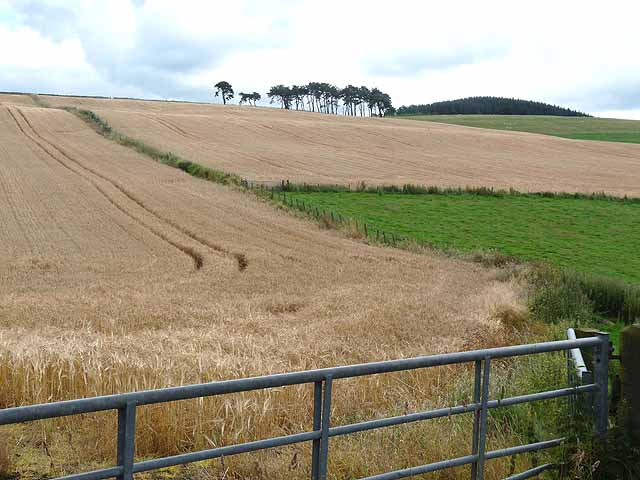
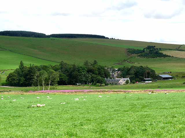
Ruletownhead Plantation Images
Images are sourced within 2km of 55.407319/-2.6083232 or Grid Reference NT6112. Thanks to Geograph Open Source API. All images are credited.


Ruletownhead Plantation is located at Grid Ref: NT6112 (Lat: 55.407319, Lng: -2.6083232)
Unitary Authority: The Scottish Borders
Police Authority: The Lothians and Scottish Borders
What 3 Words
///third.obscuring.campsites. Near Jedburgh, Scottish Borders
Nearby Locations
Related Wikis

Abbotrule
Abbotrule is a hamlet south of the B6357 road, in the Scottish Borders area of Scotland, on Rule Burn, east of the Rule Water. Places nearby include Bedrule...

Hallrule
Hallrule is a hamlet on the B6357 road, in the Scottish Borders area of Scotland, on the Rule Water, near Abbotrule, Bedrule Bonchester Bridge, Denholm...

Bonchester Bridge
Bonchester Bridge (Scots Binster Brig) is a village in Roxburghshire, within the Scottish Borders area of Scotland, lying on the Rule Water, six miles...

Fulton Tower
Fulton Tower is a ruined 16th century tower house, about 4.5 miles (7.2 km) south west of Jedburgh, Scottish Borders, Scotland, and about 2 miles (3.2...
Hobkirk
Hobkirk (Scottish Gaelic: Eaglais Ruail) is a village and civil parish in the Scottish Borders area of Scotland, by the Rule Water, south-west of Jedburgh...

Southdean
Southdean is a hamlet in the Scottish Borders area of Scotland, on the A6088, by the Jed Water and in the Wauchope Forest area. Other settlements nearby...

Rubers Law
Rubers Law is a prominent, conical hill in the Scottish Borders area of south-east Scotland. It stands on the south bank of the River Teviot, between the...

Bairnkine
Bairnkine is a hamlet on the Jed Water in the Scottish Borders area of Scotland, on the A68, south of Jedburgh. Other places nearby include Abbotrule,...
Nearby Amenities
Located within 500m of 55.407319,-2.6083232Have you been to Ruletownhead Plantation?
Leave your review of Ruletownhead Plantation below (or comments, questions and feedback).