Dalgety Wood
Wood, Forest in Angus
Scotland
Dalgety Wood

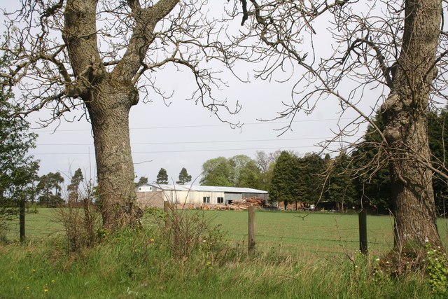
Dalgety Wood is a picturesque forest located in the county of Angus, Scotland. Covering an area of approximately 50 hectares, it is nestled between the towns of Forfar and Kirriemuir. The wood is renowned for its scenic beauty and diverse flora and fauna, making it a popular destination for nature enthusiasts and hikers.
The forest is predominantly comprised of deciduous trees, including oak, birch, and beech, which create a stunning tapestry of colors during the autumn months. The dense canopy provides a cool and shaded environment, perfect for leisurely strolls on hot summer days. Numerous walking trails, ranging from easy to moderate difficulty, wind through the wood and offer visitors the chance to explore its hidden treasures.
Dalgety Wood is also home to a variety of wildlife. Birdwatchers will be delighted to spot species such as woodpeckers, owls, and various songbirds. Small mammals like red squirrels, rabbits, and hedgehogs can also be observed scurrying through the undergrowth. The wood is particularly famous for its population of roe deer, which can often be seen grazing or leaping gracefully through the trees.
In addition to its natural beauty, Dalgety Wood has historical significance. It is believed that the wood has been in existence for centuries, with remnants of ancient settlements and burial mounds discovered within its borders. These archaeological findings add an extra layer of intrigue to the wood's allure.
Overall, Dalgety Wood is a captivating destination for nature lovers, offering a tranquil escape from the hustle and bustle of everyday life. With its breathtaking scenery, diverse wildlife, and rich history, it truly is a hidden gem in the heart of Angus.
If you have any feedback on the listing, please let us know in the comments section below.
Dalgety Wood Images
Images are sourced within 2km of 56.714341/-2.6358653 or Grid Reference NO6158. Thanks to Geograph Open Source API. All images are credited.


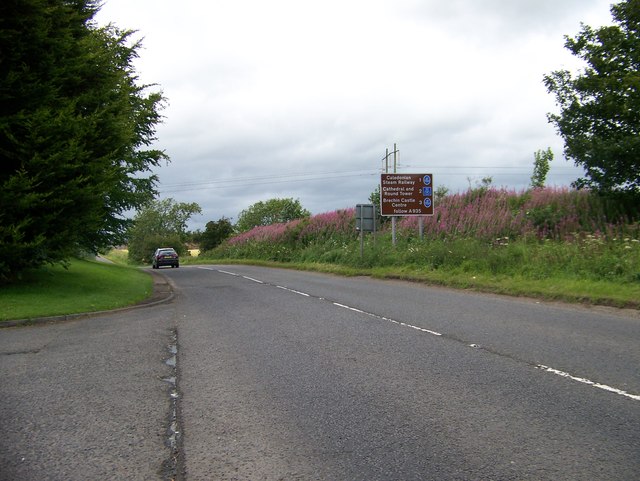


Dalgety Wood is located at Grid Ref: NO6158 (Lat: 56.714341, Lng: -2.6358653)
Unitary Authority: Angus
Police Authority: Tayside
What 3 Words
///game.privately.sweetened. Near Brechin, Angus
Nearby Locations
Related Wikis

Brechin Victoria F.C.
Brechin Victoria Junior Football Club are a Scottish Junior football club based in Brechin, Angus. Their home ground is Victoria Park. The club have recently...

Brechin
Brechin (; Scottish Gaelic: Breichin) is a town and former Royal burgh in Angus, Scotland. Traditionally Brechin was described as a city because of its...
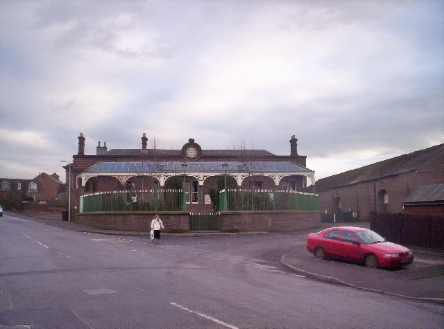
Brechin railway station
Brechin is a station in Angus, on the Caledonian Railway line. == History == The station opened for business on 1 February 1848. Initially four trains...
Caledonian Railway (Brechin)
The Caledonian Railway (Brechin) Ltd is a private limited company formed by a group of steam railway enthusiasts, the Brechin Railway Preservation Society...
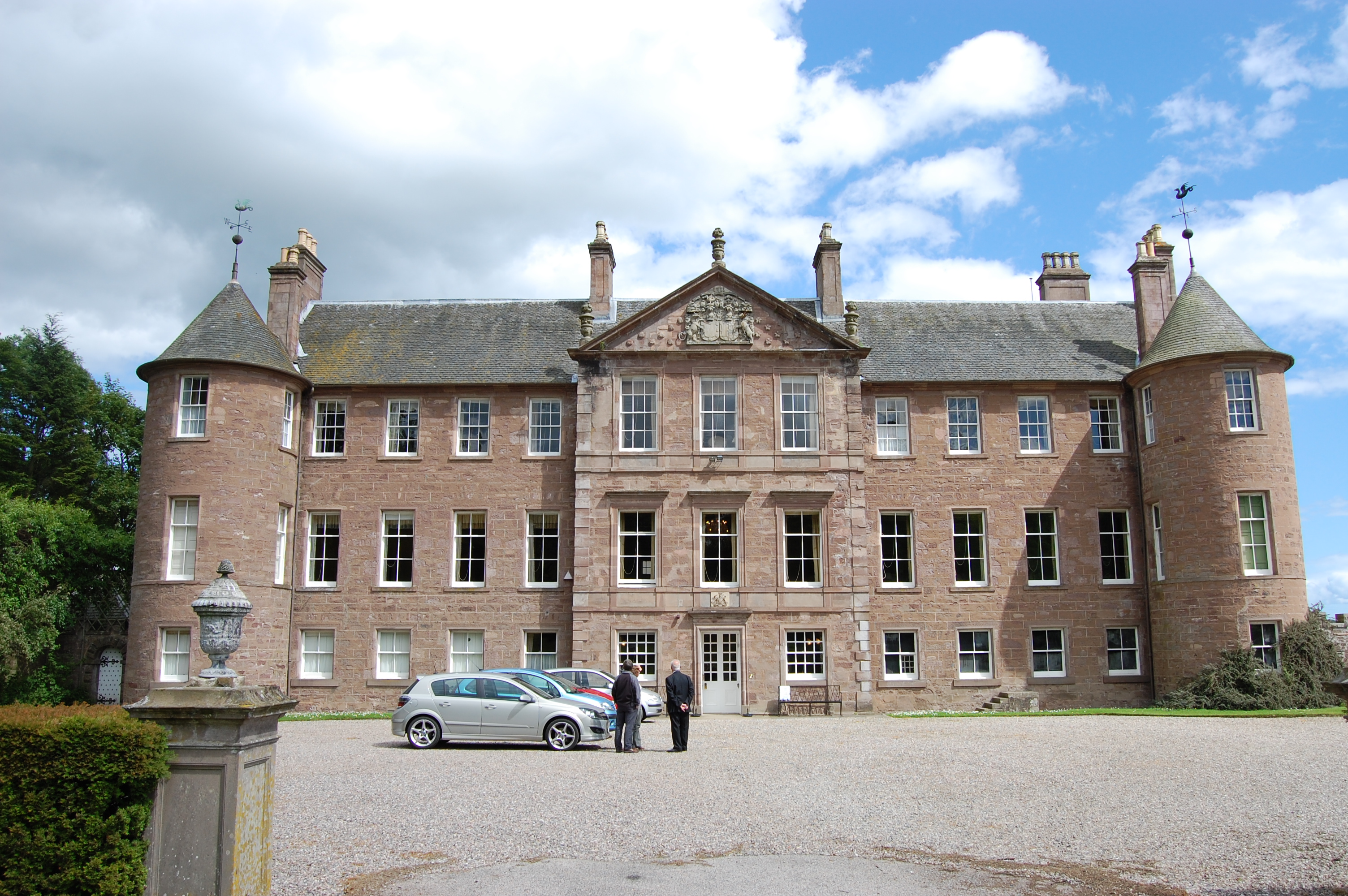
Brechin Castle
Brechin Castle is a castle in Brechin, Angus, Scotland. The castle was constructed in stone during the 13th century. Most of the current building dates...
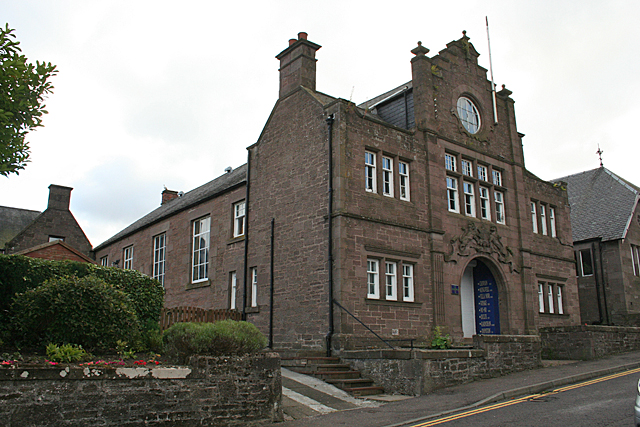
Bank Street drill hall, Brechin
The Bank Street drill hall is a former military installation in Brechin, Scotland. == History == The building was designed as the headquarters of the 7th...
Brechin Cathedral
Brechin Cathedral dates from the 13th century. As a congregation of the Church of Scotland, which is Presbyterian, the church is not technically a cathedral...
Brechin Monastery
Brechin Monastery was a Culdee religious house located in the county of Angus in Scotland. It was founded during the reign of Kenneth II (971–995). No...
Nearby Amenities
Located within 500m of 56.714341,-2.6358653Have you been to Dalgety Wood?
Leave your review of Dalgety Wood below (or comments, questions and feedback).