Black Plantation
Wood, Forest in Roxburghshire
Scotland
Black Plantation
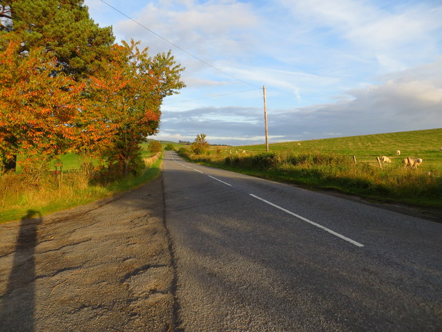
Black Plantation is a woodland area located in Roxburghshire, Scotland. Situated in the southern part of the county, it covers an expansive area of approximately [insert size] hectares. The plantation is renowned for its dense forest and is often frequented by nature enthusiasts and hikers.
The woodland is primarily composed of native tree species, including oak, birch, and beech, which create a rich and diverse ecosystem. The dense canopy provides a haven for a variety of wildlife, such as red squirrels, roe deer, and numerous bird species, making it a popular spot for birdwatching.
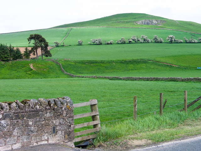
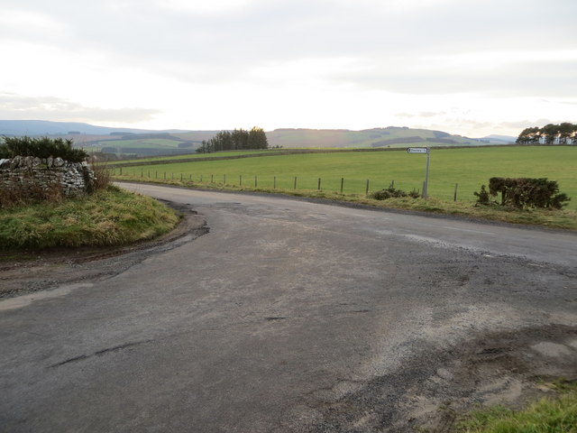
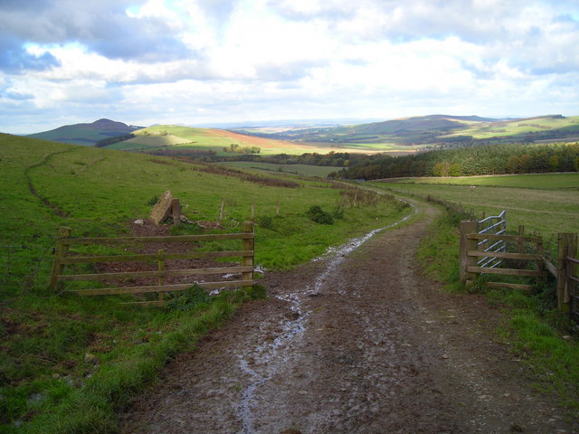
The plantation offers several well-maintained walking trails, allowing visitors to explore the natural beauty of the area. The paths wind through the forest, offering stunning views of the surrounding landscape. There are also designated picnic areas, providing a peaceful setting for visitors to relax and enjoy the tranquility of the woodland.
Black Plantation is managed by the local forestry commission, ensuring the maintenance and preservation of the woodland. The commission carries out regular tree planting and maintenance activities to sustain the health of the forest.
The proximity of Black Plantation to nearby towns and villages makes it easily accessible for both locals and tourists. Its natural beauty, diverse wildlife, and well-maintained trails make it a popular destination for outdoor enthusiasts, photographers, and nature lovers alike.
If you have any feedback on the listing, please let us know in the comments section below.
Black Plantation Images
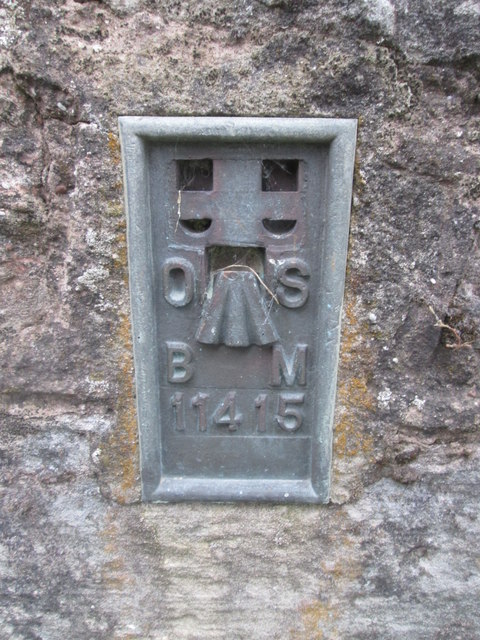
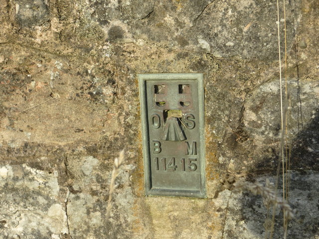
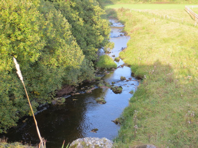
Images are sourced within 2km of 55.385857/-2.6145125 or Grid Reference NT6110. Thanks to Geograph Open Source API. All images are credited.


Black Plantation is located at Grid Ref: NT6110 (Lat: 55.385857, Lng: -2.6145125)
Unitary Authority: The Scottish Borders
Police Authority: The Lothians and Scottish Borders
What 3 Words
///groups.limelight.farmland. Near Jedburgh, Scottish Borders
Nearby Locations
Related Wikis

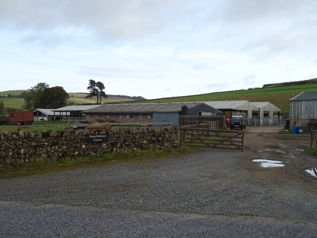
Southdean
Southdean is a hamlet in the Scottish Borders area of Scotland, on the A6088, by the Jed Water and in the Wauchope Forest area. Other settlements nearby...

Abbotrule
Abbotrule is a hamlet south of the B6357 road, in the Scottish Borders area of Scotland, on Rule Burn, east of the Rule Water. Places nearby include Bedrule...

Hobkirk
Hobkirk (Scottish Gaelic: Eaglais Ruail) is a village and civil parish in the Scottish Borders area of Scotland, by the Rule Water, south-west of Jedburgh...

Bonchester Bridge
Bonchester Bridge (Scots Binster Brig) is a village in Roxburghshire, within the Scottish Borders area of Scotland, lying on the Rule Water, six miles...
Nearby Amenities
Located within 500m of 55.385857,-2.6145125Have you been to Black Plantation?
Leave your review of Black Plantation below (or comments, questions and feedback).