South Disclune Plantation
Wood, Forest in Kincardineshire
Scotland
South Disclune Plantation
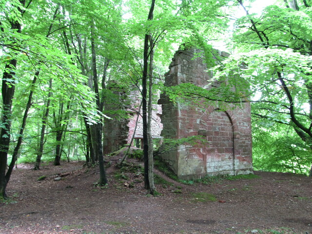
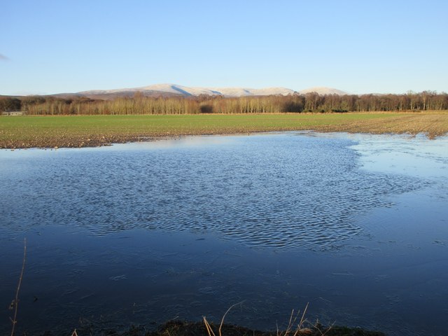
South Disclune Plantation is a picturesque woodland area located in Kincardineshire, Scotland. Spread across a vast expanse of land, this plantation is known for its lush greenery, diverse flora, and tranquil atmosphere. Covering an area of approximately [insert size], it is a perfect retreat for nature enthusiasts and those seeking solace in the lap of nature.
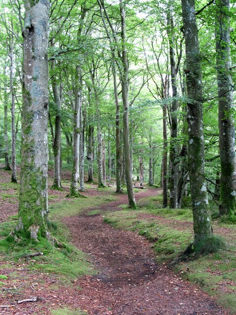
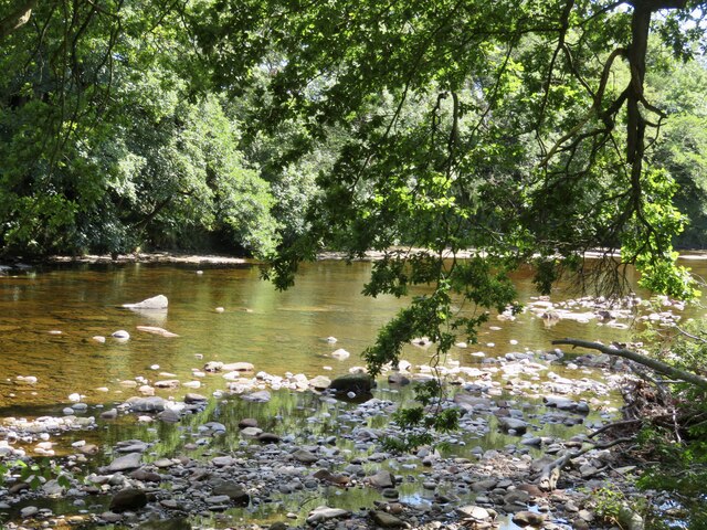
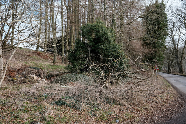
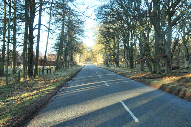
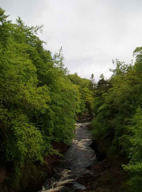
The vegetation in South Disclune Plantation is predominantly composed of a variety of trees, including oak, beech, pine, and birch. These trees, with their towering heights and dense foliage, create a beautiful canopy that lends shade and shelter to the diverse wildlife residing within the plantation.
The plantation is home to a wide range of animal species, making it a haven for wildlife enthusiasts. Visitors may spot red squirrels, roe deer, and various bird species, including woodpeckers and owls. The diverse ecosystem supports an abundance of flora and fauna, making it an ideal location for nature walks and birdwatching.
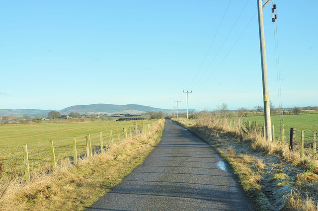
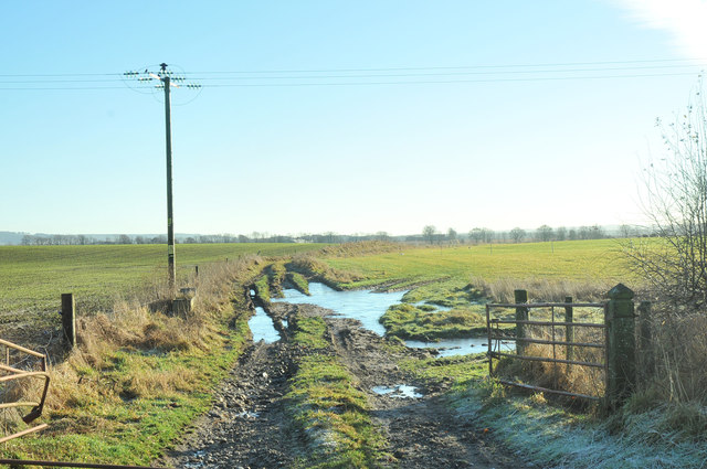
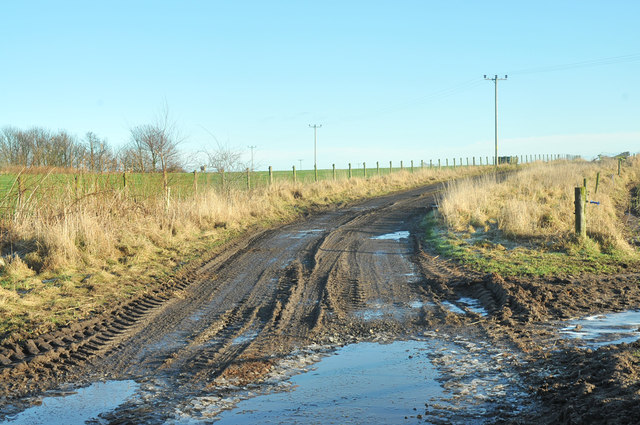
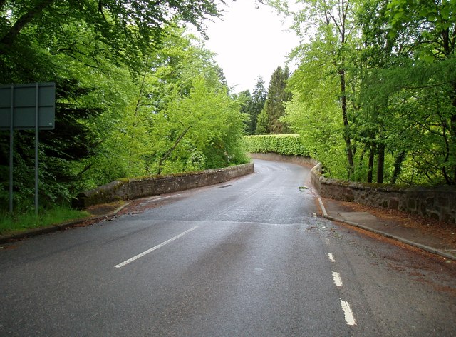
South Disclune Plantation offers several well-maintained trails that wind through the woodland, providing visitors with an opportunity to explore the area at their own pace. These trails are suitable for all levels of hikers and offer breathtaking views of the surrounding countryside.
The plantation also holds educational and conservation programs, aimed at preserving the natural environment and raising awareness about sustainable living. These initiatives include tree planting, wildlife surveys, and guided tours that provide insights into the region's ecology.
Overall, South Disclune Plantation is a serene and captivating woodland destination, offering visitors a chance to connect with nature and appreciate the beauty of the Scottish countryside.
If you have any feedback on the listing, please let us know in the comments section below.
South Disclune Plantation Images
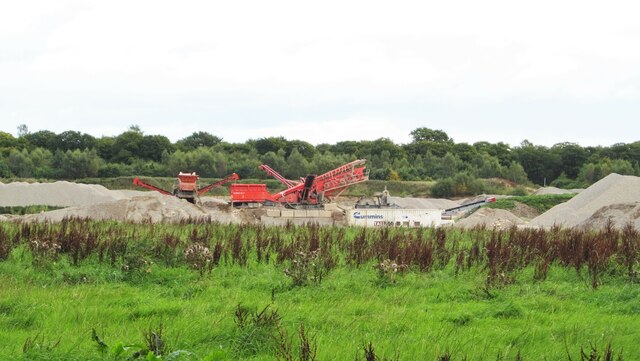
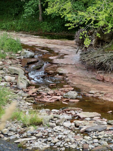
Images are sourced within 2km of 56.819573/-2.6384338 or Grid Reference NO6169. Thanks to Geograph Open Source API. All images are credited.
South Disclune Plantation is located at Grid Ref: NO6169 (Lat: 56.819573, Lng: -2.6384338)
Unitary Authority: Aberdeenshire
Police Authority: North East
What 3 Words
///fails.midwinter.paddock. Near Brechin, Angus
Nearby Locations
Related Wikis

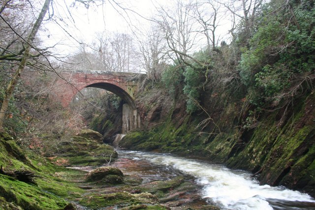
Edzell Woods
Edzell Woods is a village in the Kincardine and Mearns area of Aberdeenshire, Scotland. It is 4 miles (6.4 km) from Edzell by road, but only one mile...

Inglis Memorial Hall
The Inglis Memorial Hall is a municipal structure in the High Street in Edzell, Angus, Scotland, which for much of the 20th century served as Edzell Parish...

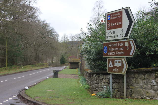
Edzell
Edzell (; Scots: Aigle; Scottish Gaelic: Eigill) is a village in Angus, Scotland. It is 5 miles (8 km) north of Brechin, by the River North Esk. Edzell...

Edzell railway station
Edzell railway station served the village of Edzell, Angus, Scotland from 1896 to 1964 on the Brechin and Edzell District Railway. == History == The station...
Nearby Amenities
Located within 500m of 56.819573,-2.6384338Have you been to South Disclune Plantation?
Leave your review of South Disclune Plantation below (or comments, questions and feedback).