Meiklehaugh Wood
Wood, Forest in Aberdeenshire
Scotland
Meiklehaugh Wood
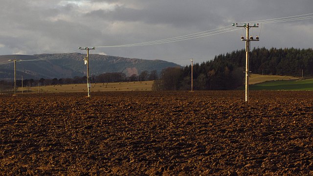
Meiklehaugh Wood is a picturesque forest located in Aberdeenshire, Scotland. Covering an area of approximately 100 acres, this woodland is a haven for nature enthusiasts and provides a tranquil escape from the bustling city life. The wood is situated just a few miles outside the town of Banchory and is easily accessible for visitors.
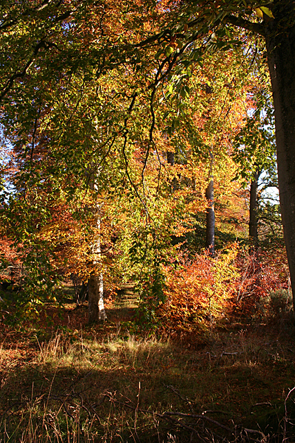
The forest is primarily composed of native trees such as oak, birch, and Scots pine, creating a diverse and vibrant ecosystem. The dense vegetation provides a habitat for a variety of wildlife including deer, squirrels, and a wide range of bird species. Visitors can often catch glimpses of these creatures as they explore the woodland trails.
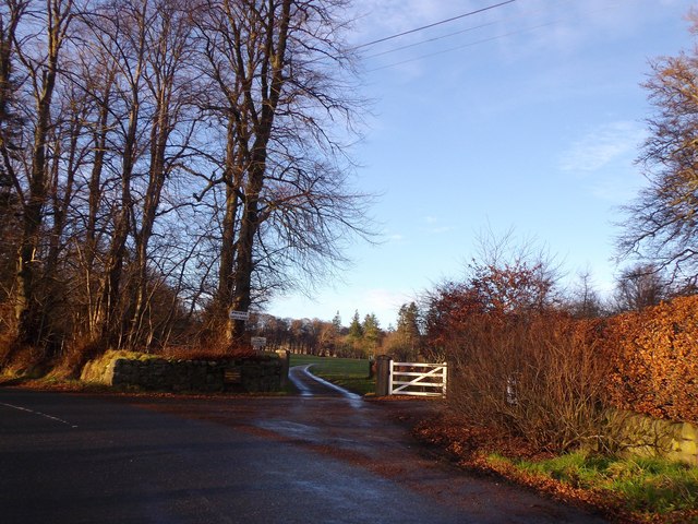
Meiklehaugh Wood offers a network of well-maintained walking paths, making it an ideal destination for hikers and walkers of all abilities. The paths wind through the forest, allowing visitors to immerse themselves in the natural beauty of the surroundings. There are also designated picnic areas where visitors can relax and enjoy a meal amidst the peaceful ambiance of the wood.
In addition to its natural beauty, Meiklehaugh Wood also boasts a rich history. The wood was once part of a larger estate and remnants of old buildings and walls can still be seen within the forest. These historical elements add an intriguing dimension to the woodland experience.
Overall, Meiklehaugh Wood is a charming destination that offers a perfect blend of natural beauty, wildlife, and historical significance. Whether it's a leisurely stroll or an adventurous hike, this woodland provides an enchanting escape for visitors of all ages.
If you have any feedback on the listing, please let us know in the comments section below.
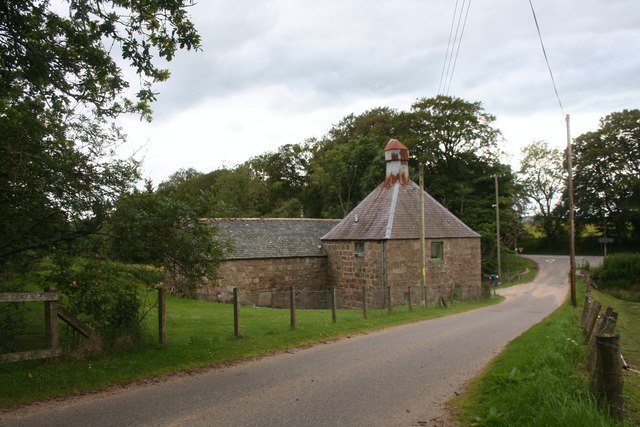
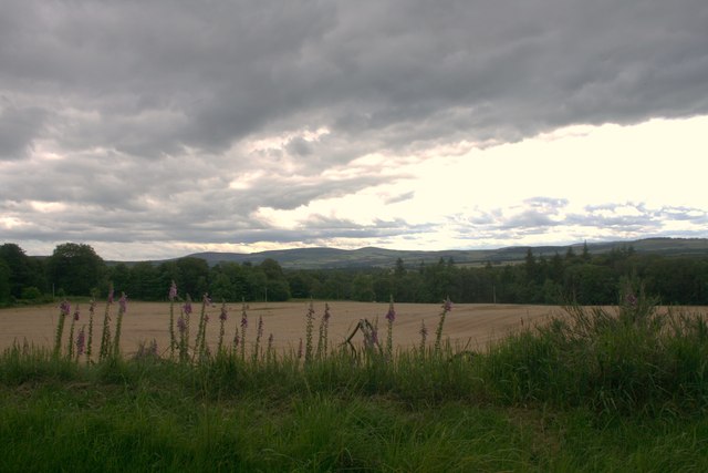
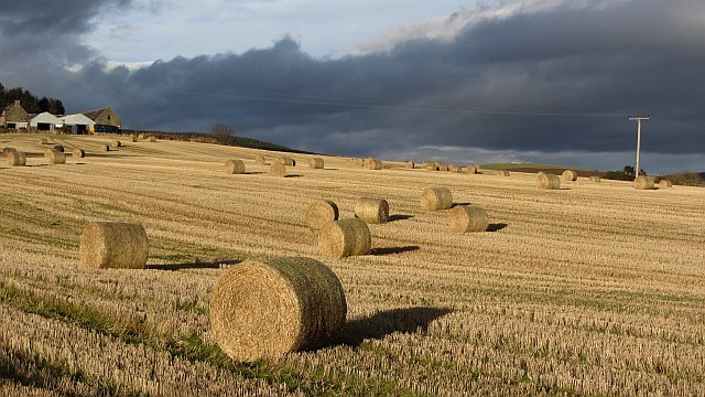
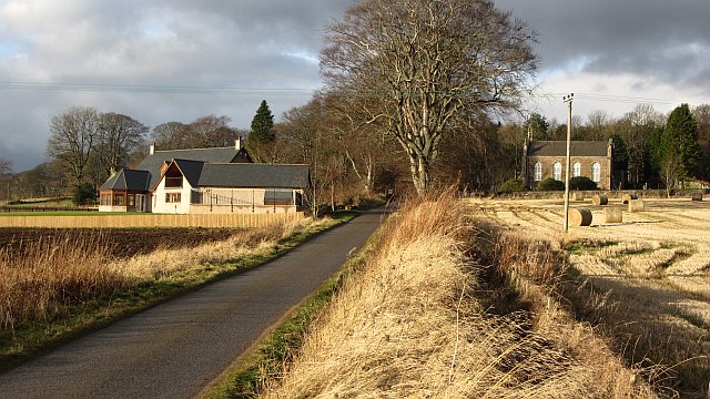
Meiklehaugh Wood Images
Images are sourced within 2km of 57.248894/-2.6500008 or Grid Reference NJ6017. Thanks to Geograph Open Source API. All images are credited.


Meiklehaugh Wood is located at Grid Ref: NJ6017 (Lat: 57.248894, Lng: -2.6500008)
Unitary Authority: Aberdeenshire
Police Authority: North East
What 3 Words
///homecare.incisions.commuted. Near Alford, Aberdeenshire
Nearby Locations
Related Wikis

Keig
Keig ( KEEG) is a village within the local government area of Aberdeenshire Council in the North East of Scotland and is located within the Marr area of...

Castle Forbes
Castle Forbes is a 19th-century country house in the Scottish baronial architecture style near Alford in Aberdeenshire, Scotland. The 6,000-acre (2,400...

Whitehouse railway station (Scotland)
Whitehouse railway station was a station in Whitehouse, Aberdeenshire. It opened with the along with the rest of the Alford Valley Railway line from Kintore...

Alford Valley Railway
The Alford Valley Railway is a 2 ft (610 mm) narrow gauge railway in the Howe of Alford, Aberdeenshire, Scotland. It is located at what used to be the...
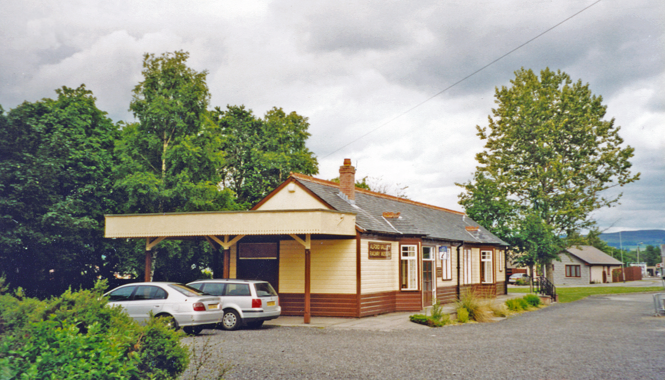
Alford railway station
Alford railway station is a former railway station in Alford, Aberdeenshire which now serves as a terminus for tourist narrow gauge railway, the Alford...

Balfluig Castle
Balfluig Castle is an L-plan tower house, dating from the mid-16th century, a mile south of Alford, in the Howe of Alford, Aberdeenshire, Scotland. The...

Grampian Transport Museum
Grampian Transport Museum is a transport museum and charitable-based trust located in Alford, Aberdeenshire, Scotland. Its exhibits chart the history of...

Gordon Way
The Gordon Way is a waymarked hiking trail in Aberdeenshire, Scotland. It runs for 11+1⁄2 miles (18.5 km) through the Bennachie Forest. The route was one...
Nearby Amenities
Located within 500m of 57.248894,-2.6500008Have you been to Meiklehaugh Wood?
Leave your review of Meiklehaugh Wood below (or comments, questions and feedback).