Bent Wood
Wood, Forest in Roxburghshire
Scotland
Bent Wood
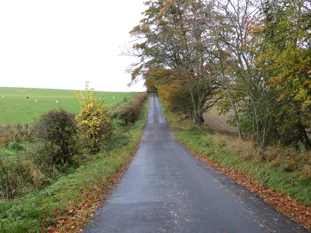
Bent Wood is a picturesque forest located in Roxburghshire, a historic county in the Scottish Borders region of Scotland. Covering an area of approximately 500 acres, this enchanting woodland is a haven for nature lovers and outdoor enthusiasts.
The forest is renowned for its unique and distinctive feature - the bending of trees caused by the prevailing winds that sweep across the landscape. This natural phenomenon has given Bent Wood its name and adds to the charm and character of the area. The contorted trees create a mesmerizing sight, with their twisted branches and gnarled trunks.
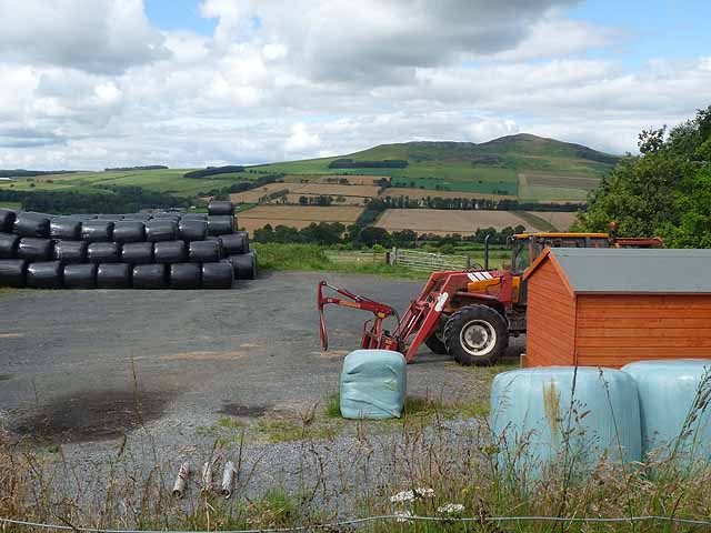
Bent Wood is home to a diverse range of flora and fauna, making it an important ecological site. The forest is predominantly composed of native tree species, including oak, birch, and rowan, which provide a habitat for numerous bird species, small mammals, and insects. It is not uncommon to spot red squirrels darting through the trees or hear the melodic songs of woodland birds.
The forest offers a network of well-maintained trails, allowing visitors to explore its natural beauty on foot or by bike. These trails wind through the woodland, offering stunning views of the surrounding countryside and the opportunity to observe the unique bent trees up close. The serene atmosphere and peaceful surroundings make Bent Wood a perfect destination for a leisurely stroll or a quiet picnic.
Bent Wood is a treasured natural gem in Roxburghshire, attracting visitors from near and far with its enchanting bent trees, diverse wildlife, and tranquil ambiance.
If you have any feedback on the listing, please let us know in the comments section below.
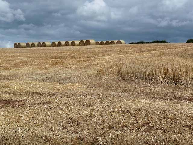
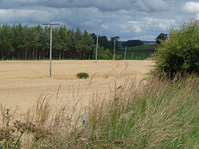
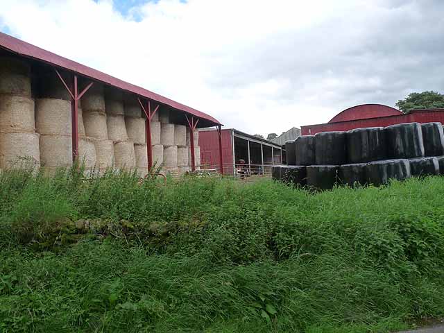
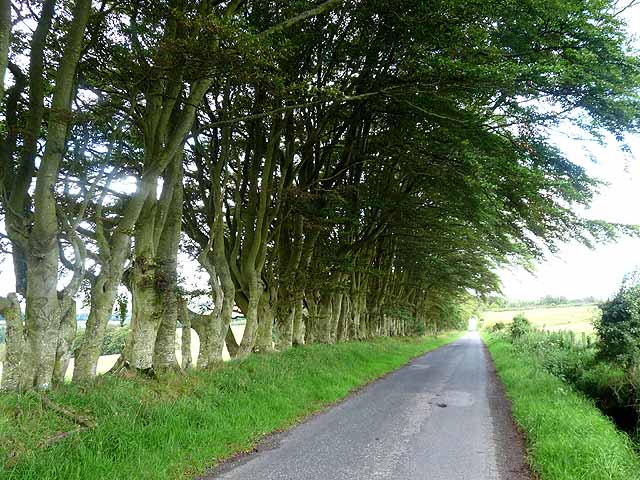
Bent Wood Images
Images are sourced within 2km of 55.424379/-2.6198034 or Grid Reference NT6014. Thanks to Geograph Open Source API. All images are credited.


Bent Wood is located at Grid Ref: NT6014 (Lat: 55.424379, Lng: -2.6198034)
Unitary Authority: The Scottish Borders
Police Authority: The Lothians and Scottish Borders
What 3 Words
///shield.install.balconies. Near Jedburgh, Scottish Borders
Nearby Locations
Related Wikis

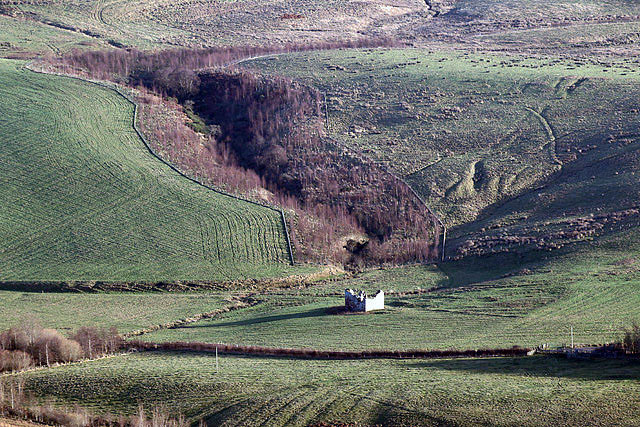
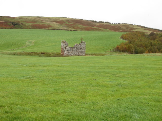
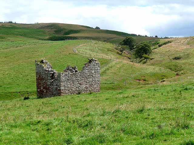
Fulton Tower
Fulton Tower is a ruined 16th century tower house, about 4.5 miles (7.2 km) south west of Jedburgh, Scottish Borders, Scotland, and about 2 miles (3.2...

Hallrule
Hallrule is a hamlet on the B6357 road, in the Scottish Borders area of Scotland, on the Rule Water, near Abbotrule, Bedrule Bonchester Bridge, Denholm...

Abbotrule
Abbotrule is a hamlet south of the B6357 road, in the Scottish Borders area of Scotland, on Rule Burn, east of the Rule Water. Places nearby include Bedrule...

Rubers Law
Rubers Law is a prominent, conical hill in the Scottish Borders area of south-east Scotland. It stands on the south bank of the River Teviot, between the...
Nearby Amenities
Located within 500m of 55.424379,-2.6198034Have you been to Bent Wood?
Leave your review of Bent Wood below (or comments, questions and feedback).