Bellman's Wood

Wood, Forest in Banffshire

Scotland

Bellman's Wood

Near Ardmeallie Looking down from near Cairnhill Croft to cottages by the road near Ardmeallie. The lower slopes of Catstone Hill are on the left.
Near Ardmeallie Credit: Anne Burgess

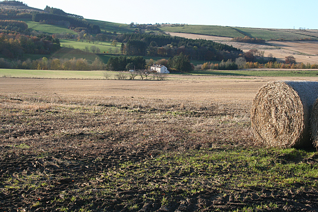
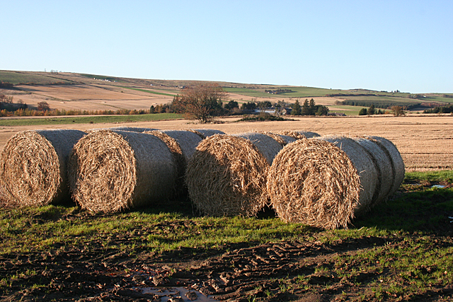
Bellman's Wood is a picturesque woodland located in Banffshire, a historic county in northeastern Scotland. This enchanting forest covers an area of approximately 100 acres and is nestled within the tranquil countryside, offering a serene and idyllic retreat for nature lovers and outdoor enthusiasts.

The wood is named after the Bellman family, who were the original owners of the land. It boasts a diverse range of tree species, including oak, birch, beech, and pine, creating a rich and varied ecosystem. The dense canopy of trees provides a haven for an array of wildlife, including deer, squirrels, and a myriad of bird species.

Visitors to Bellman's Wood can explore a network of well-maintained trails that wind through the forest, allowing for leisurely walks or invigorating hikes. The paths are lined with vibrant wildflowers and offer breathtaking views of the surrounding countryside. There are also several picnic areas dotted throughout the wood, providing the perfect spot to relax and enjoy a packed lunch amidst the peaceful ambiance.

The wood is a popular destination for birdwatching enthusiasts, as it attracts a variety of bird species throughout the year, including woodpeckers, thrushes, and owls. Additionally, the wood is home to a small pond, which serves as a watering hole for various amphibians and provides a serene spot for reflection.

With its natural beauty and tranquil atmosphere, Bellman's Wood is a hidden gem in Banffshire. It offers visitors a chance to immerse themselves in nature, enjoy the peaceful surroundings, and discover the wonders of this enchanting forest.

If you have any feedback on the listing, please let us know in the comments section below.

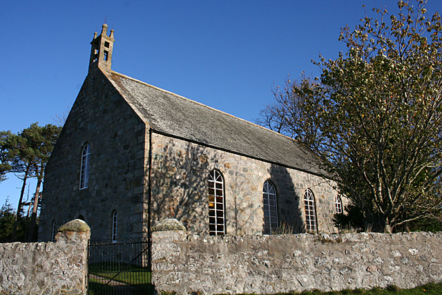
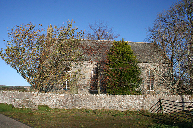
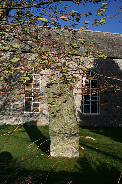
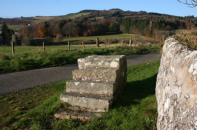
Bellman's Wood Images

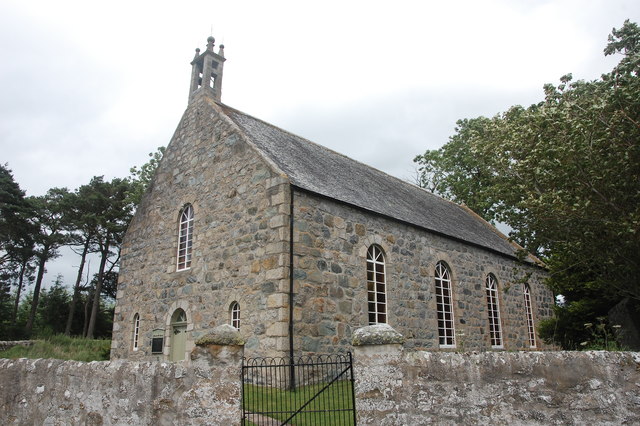
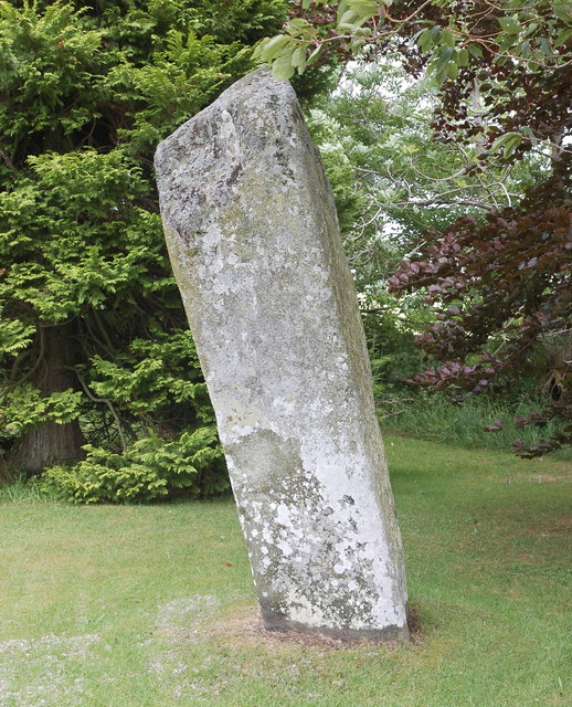
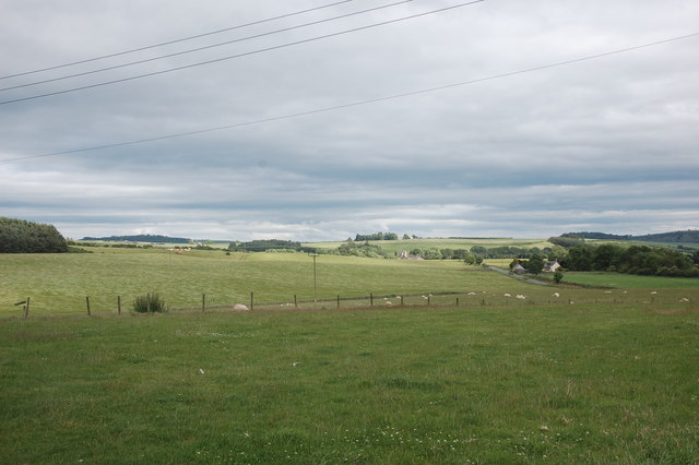
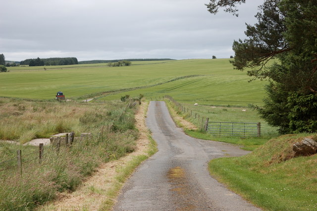
Images are sourced within 2km of 57.542242/-2.6666096 or Grid Reference NJ6050. Thanks to Geograph Open Source API. All images are credited.

Near Ardmeallie Looking down from near Cairnhill Croft to cottages by the road near Ardmeallie. The lower slopes of Catstone Hill are on the left.
Near Ardmeallie
Looking down from near Cairnhill Croft to cottages by the road near Ardmeallie. The lower slopes of Catstone Hill are on the left.
Straw Bales Some of the bales awaiting collection and storage. In the distance is Old Crombie, in the next square, and the Brae of Crombie stretches up to the left.
Straw Bales
Some of the bales awaiting collection and storage. In the distance is Old Crombie, in the next square, and the Brae of Crombie stretches up to the left.
Bellman's Wood Recumbent Stone Circle (1) There are just three stones of this circle left, and they are partly obscured by stones gathered from the fields and dumped there. The nearest one is the west flanker, which has slipped down the slight slope before toppling. To its right is the east flanker, which has fallen forwards, and in the corner of the fence is what may have been a kerb stone. See <span class="nowrap"><a title="https://canmore.org.uk/site/18427/bellmans-wood" rel="nofollow ugc noopener" href="https://canmore.org.uk/site/18427/bellmans-wood">Link</a><img style="margin-left:2px;" alt="External link" title="External link - shift click to open in new window" src="https://s1.geograph.org.uk/img/external.png" width="10" height="10"/></span> for more information. <a href="https://www.geograph.org.uk/photo/4743220">NJ6050 : Bellman's Wood Recumbent Stone Circle (2)</a>
Bellman's Wood Recumbent Stone Circle (1)
There are just three stones of this circle left, and they are partly obscured by stones gathered from the fields and dumped there. The nearest one is the west flanker, which has slipped down the slight slope before toppling. To its right is the east flanker, which has fallen forwards, and in the corner of the fence is what may have been a kerb stone. See LinkExternal link for more information. NJ6050 : Bellman's Wood Recumbent Stone Circle (2)
Bellman's Wood Recumbent Stone Circle (2) In the foreground is the east flanker, which has toppled towards the camera position. At extreme left is the west flanker, which has slipped down the slope before falling over. The other stones are mostly boulders collected from the field, though one of them may be a kerb stone. See <span class="nowrap"><a title="https://canmore.org.uk/site/18427/bellmans-wood" rel="nofollow ugc noopener" href="https://canmore.org.uk/site/18427/bellmans-wood">Link</a><img style="margin-left:2px;" alt="External link" title="External link - shift click to open in new window" src="https://s1.geograph.org.uk/img/external.png" width="10" height="10"/></span> for more information. <a href="https://www.geograph.org.uk/photo/4743224">NJ6050 : Bellman's Wood Recumbent Stone Circle (3)</a>
Bellman's Wood Recumbent Stone Circle (2)
In the foreground is the east flanker, which has toppled towards the camera position. At extreme left is the west flanker, which has slipped down the slope before falling over. The other stones are mostly boulders collected from the field, though one of them may be a kerb stone. See LinkExternal link for more information. NJ6050 : Bellman's Wood Recumbent Stone Circle (3)
Bellman's Wood Recumbent Stone Circle (3) In the foreground is the fallen east flanker, the base of which (on the right) is in its original position. The other large stone is the west flanker, which has slid out of position before falling. Above the right-hand end of the east flanker is the tip of a stone which may have been a kerb stone of a now-vanished cairn. See <span class="nowrap"><a title="https://canmore.org.uk/site/18427/bellmans-wood" rel="nofollow ugc noopener" href="https://canmore.org.uk/site/18427/bellmans-wood">Link</a><img style="margin-left:2px;" alt="External link" title="External link - shift click to open in new window" src="https://s1.geograph.org.uk/img/external.png" width="10" height="10"/></span> for more information. <a href="https://www.geograph.org.uk/photo/4743229">NJ6050 : Bellman's Wood Recumbent Stone Circle (4)</a>
Bellman's Wood Recumbent Stone Circle (3)
In the foreground is the fallen east flanker, the base of which (on the right) is in its original position. The other large stone is the west flanker, which has slid out of position before falling. Above the right-hand end of the east flanker is the tip of a stone which may have been a kerb stone of a now-vanished cairn. See LinkExternal link for more information. NJ6050 : Bellman's Wood Recumbent Stone Circle (4)
Bellman's Wood Recumbent Stone Circle (4) This Ordnance Survey bench mark has been carved, in what archaeologists have described as an act of vandalism, on the upper surface of the fallen west flanker of the stone circle. See <span class="nowrap"><a title="https://canmore.org.uk/site/18427/bellmans-wood" rel="nofollow ugc noopener" href="https://canmore.org.uk/site/18427/bellmans-wood">Link</a><img style="margin-left:2px;" alt="External link" title="External link - shift click to open in new window" src="https://s1.geograph.org.uk/img/external.png" width="10" height="10"/></span> for more information. <a href="https://www.geograph.org.uk/photo/4743217">NJ6050 : Bellman's Wood Recumbent Stone Circle (1)</a>
Bellman's Wood Recumbent Stone Circle (4)
This Ordnance Survey bench mark has been carved, in what archaeologists have described as an act of vandalism, on the upper surface of the fallen west flanker of the stone circle. See LinkExternal link for more information. NJ6050 : Bellman's Wood Recumbent Stone Circle (1)
Old Milestone by the A97, south of Aberchirder, Marnoch parish Stone post by the A97, in parish of Marnoch (District), 1 mile South of Aberchirder, at metal gate on hill down to bridge over Burn of Auchintoul, South side of road.

Inscription reads:-
10
(To Banff)

Surveyed

Milestone Society National ID: AD_BFHN10
Old Milestone by the A97, south of Aberchirder, Marnoch parish
Stone post by the A97, in parish of Marnoch (District), 1 mile South of Aberchirder, at metal gate on hill down to bridge over Burn of Auchintoul, South side of road. Inscription reads:- 10 (To Banff) Surveyed Milestone Society National ID: AD_BFHN10
Standing Stone This stone stands outside the wall surrounding the kirk. There is a suggestion that it once formed part of a stone circle where the kirk now is, but was moved and re-erected here. See <span class="nowrap"><a title="https://canmore.org.uk/site/17915/st-marnans-chair" rel="nofollow ugc noopener" href="https://canmore.org.uk/site/17915/st-marnans-chair">Link</a><img style="margin-left:2px;" alt="External link" title="External link - shift click to open in new window" src="https://s1.geograph.org.uk/img/external.png" width="10" height="10"/></span> for more information.
Standing Stone
This stone stands outside the wall surrounding the kirk. There is a suggestion that it once formed part of a stone circle where the kirk now is, but was moved and re-erected here. See LinkExternal link for more information.
St Marnan's Chair Either St Marnan was a very odd shape, or perhaps he was into pole-sitting. This un-chair-like standing stone is in the grounds of St Marnan's Kirk. It may have formed part of an ancient stone circle. See <span class="nowrap"><a title="https://canmore.org.uk/site/17915/st-marnans-chair" rel="nofollow ugc noopener" href="https://canmore.org.uk/site/17915/st-marnans-chair">Link</a><img style="margin-left:2px;" alt="External link" title="External link - shift click to open in new window" src="https://s1.geograph.org.uk/img/external.png" width="10" height="10"/></span> for more information.
St Marnan's Chair
Either St Marnan was a very odd shape, or perhaps he was into pole-sitting. This un-chair-like standing stone is in the grounds of St Marnan's Kirk. It may have formed part of an ancient stone circle. See LinkExternal link for more information.
St Marnan's Kirk This is the parish kirk of Marnoch, built in 1782. It replaced an earlier building further down near the river, where the kirkyard is. See <span class="nowrap"><a title="http://www.scottishchurches.org.uk/sites/site/id/703/name/Marnoch+Old+Parish+Church+Marnoch+Grampian" rel="nofollow ugc noopener" href="http://www.scottishchurches.org.uk/sites/site/id/703/name/Marnoch+Old+Parish+Church+Marnoch+Grampian">Link</a><img style="margin-left:2px;" alt="External link" title="External link - shift click to open in new window" src="https://s1.geograph.org.uk/img/external.png" width="10" height="10"/></span> for more information.
St Marnan's Kirk
This is the parish kirk of Marnoch, built in 1782. It replaced an earlier building further down near the river, where the kirkyard is. See LinkExternal link for more information.
Marnoch Parish Kirk Dedicated to St Marnan, built in 1782 and still in use. The trees make it difficult to photograph well, but <a href="https://www.geograph.org.uk/photo/391947">NJ5950 : Marnoch old church</a> is an older view. See <span class="nowrap"><a title="http://www.scottishchurches.org.uk/sites/site/id/703/name/Marnoch+Old+Parish+Church+Marnoch+Grampian" rel="nofollow ugc noopener" href="http://www.scottishchurches.org.uk/sites/site/id/703/name/Marnoch+Old+Parish+Church+Marnoch+Grampian">Link</a><img style="margin-left:2px;" alt="External link" title="External link - shift click to open in new window" src="https://s1.geograph.org.uk/img/external.png" width="10" height="10"/></span> for more information.
Marnoch Parish Kirk
Dedicated to St Marnan, built in 1782 and still in use. The trees make it difficult to photograph well, but NJ5950 : Marnoch old church is an older view. See LinkExternal link for more information.
St Marnan's Chair Either St Marnan was a very odd shape, or perhaps he was into pole-sitting. This un-chair-like standing stone is in the grounds of St Marnan's Kirk. It may have formed part of an ancient stone circle. See <span class="nowrap"><a title="https://canmore.org.uk/site/17915/st-marnans-chair" rel="nofollow ugc noopener" href="https://canmore.org.uk/site/17915/st-marnans-chair">Link</a><img style="margin-left:2px;" alt="External link" title="External link - shift click to open in new window" src="https://s1.geograph.org.uk/img/external.png" width="10" height="10"/></span> for more information.
St Marnan's Chair
Either St Marnan was a very odd shape, or perhaps he was into pole-sitting. This un-chair-like standing stone is in the grounds of St Marnan's Kirk. It may have formed part of an ancient stone circle. See LinkExternal link for more information.
Loupin-on Stane This mounting block stands just outside the kirkyard wall at Marnoch Parish Kirk.
Loupin-on Stane
This mounting block stands just outside the kirkyard wall at Marnoch Parish Kirk.
Marnoch Old Kirk This handsome rectangular kirk replaced St Marnoch's (old) Church, situated a few hundred metres to the southwest, in around 1790.  The bell, presumably from the old church, is dated 1747.  The congregation 'came out' in 1841 in a row over patronage and established a new church (confusingly called New Marnoch Church) at the planned village of Aberchirder, about 3km to the northeast (see: <a title="https://www.geograph.org.uk/photo/5450589" href="https://www.geograph.org.uk/photo/5450589">Link</a> ).  The two kirks were reunited in 1929 and it is now part of a joint parish with its Aberchirder neighbour.  A fine standing stone called St Marnan's Chair can be seen in the kirkyard.
Marnoch Old Kirk
This handsome rectangular kirk replaced St Marnoch's (old) Church, situated a few hundred metres to the southwest, in around 1790. The bell, presumably from the old church, is dated 1747. The congregation 'came out' in 1841 in a row over patronage and established a new church (confusingly called New Marnoch Church) at the planned village of Aberchirder, about 3km to the northeast (see: Link ). The two kirks were reunited in 1929 and it is now part of a joint parish with its Aberchirder neighbour. A fine standing stone called St Marnan's Chair can be seen in the kirkyard.
St Marnan's Chair A fine standing stone in the kirkyard of Marnoch Old Kirk, thought to possibly date from the bronze age: <span class="nowrap"><a title="https://canmore.org.uk/site/17915/st-marnans-chair" rel="nofollow ugc noopener" href="https://canmore.org.uk/site/17915/st-marnans-chair">Link</a><img style="margin-left:2px;" alt="External link" title="External link - shift click to open in new window" src="https://s1.geograph.org.uk/img/external.png" width="10" height="10"/></span> .
St Marnan's Chair
A fine standing stone in the kirkyard of Marnoch Old Kirk, thought to possibly date from the bronze age: LinkExternal link .
View over the fields Typical rolling hills in this part of Aberdeenshire.
View over the fields
Typical rolling hills in this part of Aberdeenshire.
Single-track road A typical Aberdeenshire byway which makes its windy way to Aberchirder.
Single-track road
A typical Aberdeenshire byway which makes its windy way to Aberchirder.
Former tollhouse Surveyed by the Milestone Society.  This old toll house is on the A97 from Huntly to Aberchirder at Bridge of Marnoch. It is on the west side of the road just south of the bridge over the River Deveron.  The safety barrier at the low stone bridge can just be seen in the photograph.  The single storey house has been modernised with the addition of dormer windows but it is the classic shape of a tollhouse and is another 'guarding' a bridge.
Former tollhouse
Surveyed by the Milestone Society. This old toll house is on the A97 from Huntly to Aberchirder at Bridge of Marnoch. It is on the west side of the road just south of the bridge over the River Deveron. The safety barrier at the low stone bridge can just be seen in the photograph. The single storey house has been modernised with the addition of dormer windows but it is the classic shape of a tollhouse and is another 'guarding' a bridge.
Show me another place!

Bellman's Wood is located at Grid Ref: NJ6050 (Lat: 57.542242, Lng: -2.6666096)

Unitary Authority: Aberdeenshire

Police Authority: North East

What 3 Words

///ulterior.shifting.reckons. Near Aberchirder, Aberdeenshire

Nearby Locations

Bellman's Wood

Related Wikis

Aberchirder

Aberchirder (Scots: Fogieloan, Scottish Gaelic: Obar Chiardair) known locally as Foggieloan or Foggie, is a village in Aberdeenshire, Scotland, situated...

Inverkeithny

Inverkeithny is a village in the Formartine area of Aberdeenshire, Scotland. The village lies near where the Burn of Forgue flows into the River Deveron...

Yonder Bognie

Yonder Bognie is a stone circle in Aberdeenshire, Scotland. It is located in an agricultural field under private ownership and is a scheduled monument...

Bognie Castle

Bognie Castle (also called Conzie Castle) is a ruined castle near Huntly and Banff in the Aberdeenshire region of Scotland. It was built in the 17th century...

Nearby Amenities

Located within 500m of 57.542242,-2.6666096
Power: pole
Lat/Long: 57.5461901/-2.6633219
Power: pole
Lat/Long: 57.5457071/-2.6626848
Power: pole
Lat/Long: 57.5451506/-2.6619857
Power: pole
Lat/Long: 57.5407815/-2.6738127
Power: pole
Lat/Long: 57.5405004/-2.6738961
Power: pole
Lat/Long: 57.5406645/-2.672949
Power: pole
Lat/Long: 57.5405256/-2.6720062
Power: pole
Lat/Long: 57.5403891/-2.6710035
Power: pole
Lat/Long: 57.5402411/-2.6699837
Power: pole
Lat/Long: 57.5400976/-2.668934
Power: pole
Lat/Long: 57.5399737/-2.6680724
Power: pole
Lat/Long: 57.5398211/-2.6670098
Power: pole
Lat/Long: 57.5396134/-2.6656544
Power: pole
Lat/Long: 57.5394964/-2.6647094
Power: pole
Lat/Long: 57.5393174/-2.663463
Power: pole
Lat/Long: 57.5445982/-2.6615325
Power: pole
Lat/Long: 57.5440773/-2.6610963
Power: pole
Lat/Long: 57.5434285/-2.660549
Power: pole
Lat/Long: 57.5428055/-2.6611006
Power: pole
Lat/Long: 57.5421974/-2.6616351
Power: pole
Lat/Long: 57.5415801/-2.662161
Power: pole
Lat/Long: 57.5409628/-2.6626912
Power: pole
Lat/Long: 57.5404534/-2.6631274
Power: pole
Lat/Long: 57.5399691/-2.6635635
Power: pole
Lat/Long: 57.5387574/-2.6633818
Power: pole
Lat/Long: 57.5382996/-2.6633348
Power: pole
Lat/Long: 57.5440567/-2.6593529
Power: pole
Lat/Long: 57.5441324/-2.6601995
Bellman's Wood
Archaeological Site: megalith
Historic: archaeological_site
Megalith Type: stone_circle
Ref Canmore: 18427
Wikidata: Q56666424
Lat/Long: 57.5422229/-2.6620134
The data included in this document is from www.openstreetmap.org. The data is made available under ODbL.

Have you been to Bellman's Wood?

Leave your review of Bellman's Wood below (or comments, questions and feedback).