Bog Wood
Wood, Forest in Roxburghshire
Scotland
Bog Wood
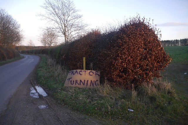
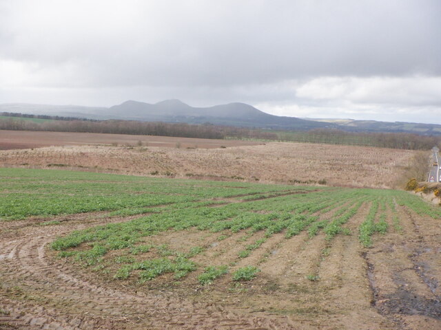
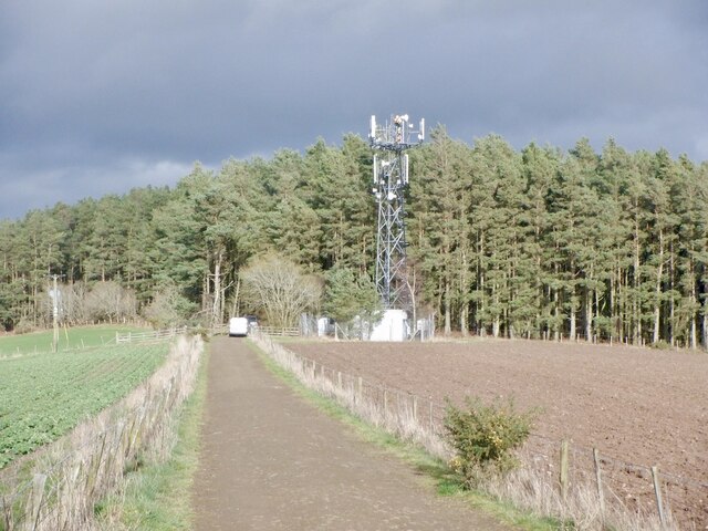
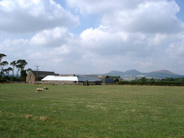
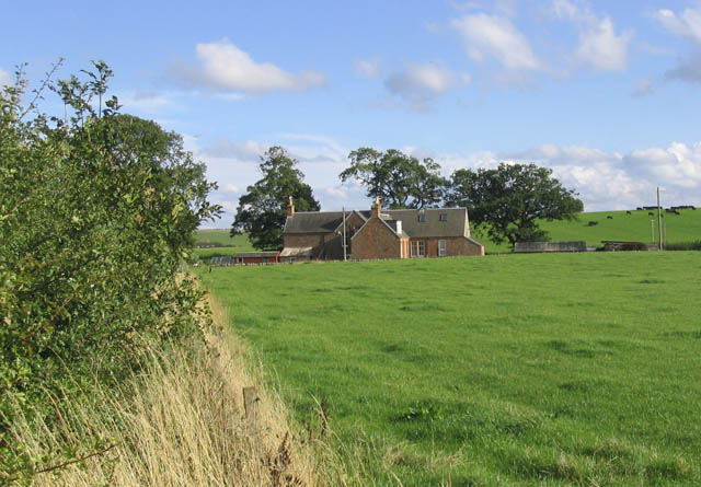
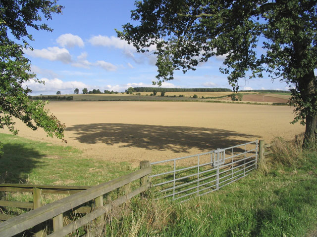
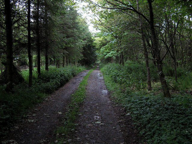
Bog Wood, located in Roxburghshire, is a picturesque woodland area covering a vast expanse of approximately 100 acres. This natural forest, also known as a bog or wetland, is characterized by its unique ecosystem and diverse vegetation.
The woodland is situated in a low-lying area, which creates ideal conditions for the formation of peat, a type of soil composed of partially decomposed plant material. The peat acts as a sponge, retaining water and creating a waterlogged environment that sustains a variety of specialized plant species. These include sphagnum mosses, heather, and various types of grasses.
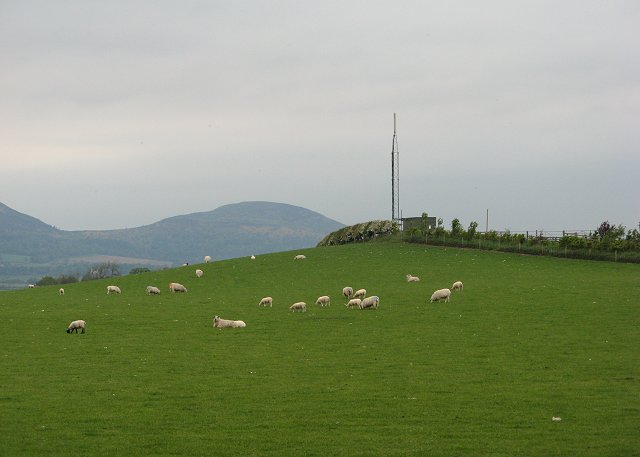
Bog Wood is home to a range of wildlife, providing a habitat for numerous species. Bird enthusiasts can spot a variety of avian species, such as curlews, snipes, and various waterfowl. The wetland also supports a diverse range of insects, amphibians, and small mammals, adding to its rich biodiversity.
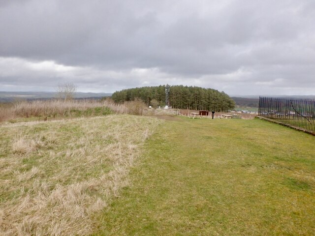
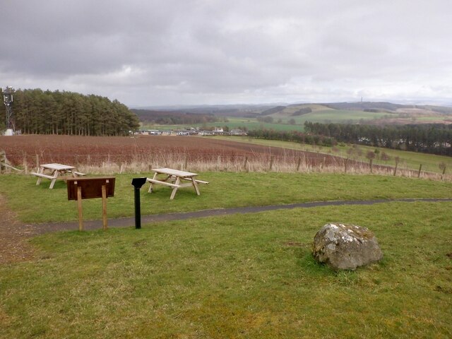
Visitors to Bog Wood can enjoy walking along the network of winding pathways that meander through the forest, providing an immersive experience in this unique natural setting. The area is popular for nature lovers and hikers, who can witness the changing landscape as they explore the woodland.
Overall, Bog Wood in Roxburghshire is a captivating forested wetland, offering visitors a chance to experience the beauty and tranquility of a unique ecosystem. With its diverse range of plant and animal life, it is a haven for nature enthusiasts and a valuable natural resource in the region.
If you have any feedback on the listing, please let us know in the comments section below.
Bog Wood Images
Images are sourced within 2km of 55.541276/-2.6334474 or Grid Reference NT6027. Thanks to Geograph Open Source API. All images are credited.


Bog Wood is located at Grid Ref: NT6027 (Lat: 55.541276, Lng: -2.6334474)
Unitary Authority: The Scottish Borders
Police Authority: The Lothians and Scottish Borders
What 3 Words
///slices.birdcage.drops. Near Saint Boswells, Scottish Borders
Nearby Locations
Related Wikis

Monteath Mausoleum
The Monteath Mausoleum is a large landmark in the Scottish Borders near the village of Ancrum. The listed building can be seen from the A68 road just north...

Battle of Ancrum Moor
The Battle of Ancrum Moor was fought during the War of the Rough Wooing in 1545. The Scottish victory put a temporary end to English incursions in the...
Maxton, Roxburghshire
Maxton is a hamlet and civil parish in Roxburghshire, Scotland, and part of the Scottish Borders region. Maxton lies just off the A68, south of St. Boswells...

Maxton railway station
Maxton railway station served the hamlet of Maxton, Roxburghshire, Scotland from 1851 to 1964 on the Kelso Line. == History == The station opened in June...
Greycrook
Greycrook is a village off the A68 and the A699 in the Scottish Borders, approximately 500 m (550 yd) south-east of St Boswells, and close to Dryburgh...

Charlesfield Halt railway station
Charlesfield Halt railway station served the village of Charlesfield, Melrose, Scotland, from 1942 to 1961 on the Waverley Route. == History == The station...

St Boswells
St Boswells (Scots: Bosels / Bosells; Scottish Gaelic: Cille Bhoisil [ˈçiʎəˈvɔʃɪl]) is a village on the south side of the River Tweed in the Scottish Borders...
Ancrum Old Parish Church
Ancrum Old Parish Church is situated just over half a mile north west of the village of Ancrum in the Scottish Borders area of Scotland, on the B4600 road...
Nearby Amenities
Located within 500m of 55.541276,-2.6334474Have you been to Bog Wood?
Leave your review of Bog Wood below (or comments, questions and feedback).