Black Knowe Plantation

Wood, Forest in East Lothian

Scotland

Black Knowe Plantation

Black Knowe Plantation A small wood on steep ground.
Black Knowe Plantation Credit: Richard Webb

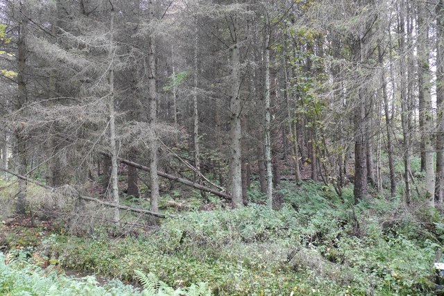
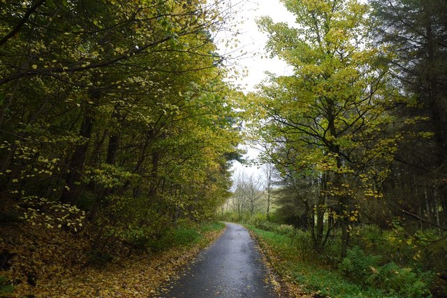
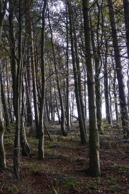
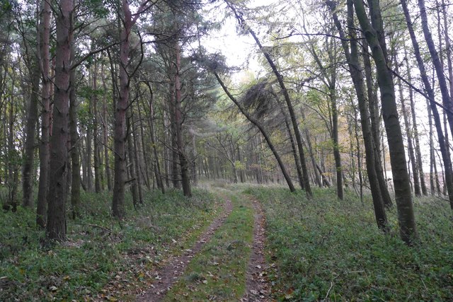
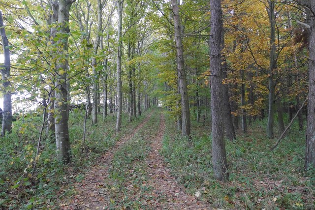
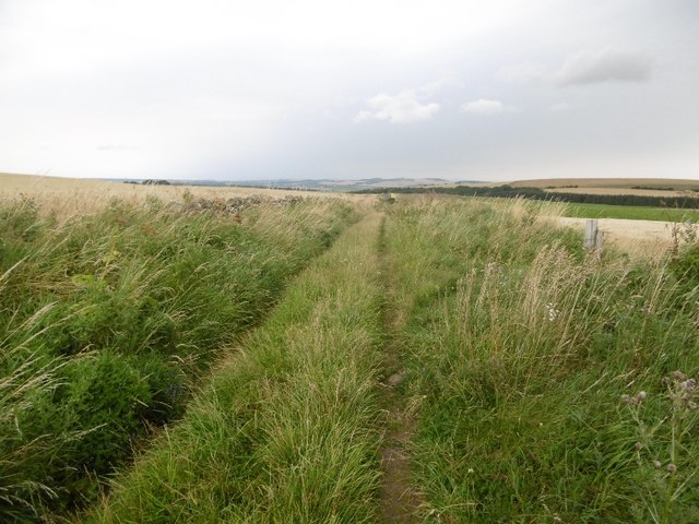
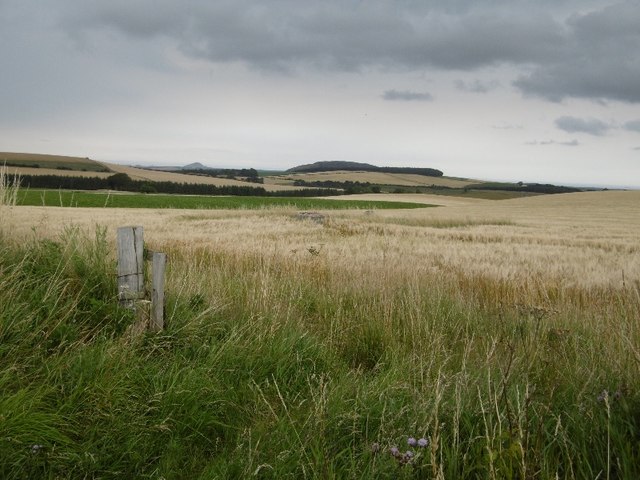
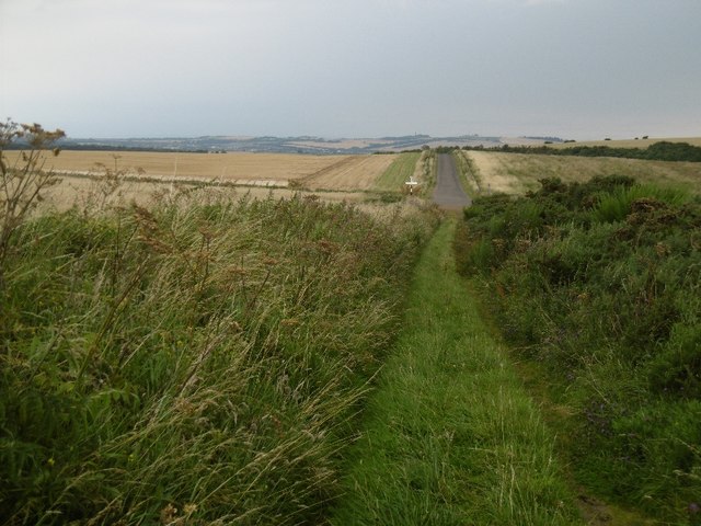
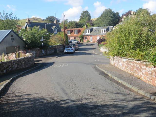
Black Knowe Plantation is a captivating woodland area located in East Lothian, Scotland. Situated near the village of Garvald, it covers an expansive area of approximately 30 hectares. The plantation is characterized by a diverse range of tree species and offers a serene and enchanting atmosphere to visitors.

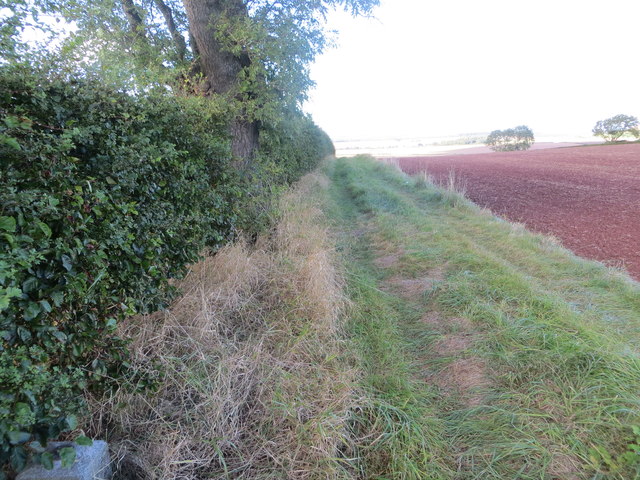
The woodland is predominantly composed of native Scottish trees, including oak, birch, and rowan. These trees create a rich and varied habitat, providing a home for a wide array of wildlife. Visitors to Black Knowe Plantation may encounter various bird species, such as woodpeckers and owls, as well as small mammals like red squirrels and badgers.

The plantation features well-maintained paths that meander through the woodland, allowing visitors to explore and appreciate its natural beauty. The trails provide an opportunity to immerse oneself in the peaceful surroundings and enjoy the tranquility of the forest.

Black Knowe Plantation is also known for its historical significance. It was once part of the larger Black Knowe estate, which dates back to the 16th century. The plantation itself has been carefully managed for many years, ensuring the preservation of its natural heritage.

Overall, Black Knowe Plantation is a captivating woodland destination in East Lothian, offering a peaceful retreat where visitors can connect with nature and enjoy the beauty of Scotland's native trees and wildlife.

If you have any feedback on the listing, please let us know in the comments section below.

Black Knowe Plantation Images

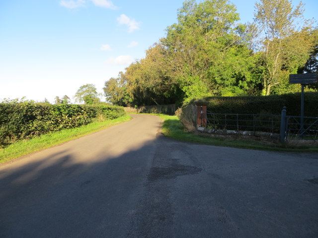
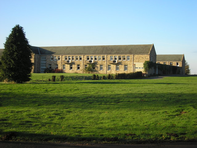
Images are sourced within 2km of 55.938967/-2.6634573 or Grid Reference NT5871. Thanks to Geograph Open Source API. All images are credited.

Black Knowe Plantation A small wood on steep ground.
Black Knowe Plantation
A small wood on steep ground.
Woodland lane, East Lothian Between two woods on steep slopes.
Woodland lane, East Lothian
Between two woods on steep slopes.
View from Blaikie Heugh Top of one of the numerous basalt crags found along the south shore of the Firth of Forth.
View from Blaikie Heugh
Top of one of the numerous basalt crags found along the south shore of the Firth of Forth.
Lawhead Plantation Mixed woodland on Lawhead Hill.
Lawhead Plantation
Mixed woodland on Lawhead Hill.
Track, Lawhead Hill A strip of woodland on the north side of Lawhead Hill, East Lothian.
Track, Lawhead Hill
A strip of woodland on the north side of Lawhead Hill, East Lothian.
Track on Lawhead Hill Near the summit.
Track on Lawhead Hill
Near the summit.
Stubble, Lawhead Hill View northwards from the edge of Lawhead Plantation towards Traprain Law.
Stubble, Lawhead Hill
View northwards from the edge of Lawhead Plantation towards Traprain Law.
Field under Sled Wood A road, now overgrown and part of the core path network, runs through the wood along the obvious vegetation boundary.
Field under Sled Wood
A road, now overgrown and part of the core path network, runs through the wood along the obvious vegetation boundary.
Road on Sled Hill Shown on 1920s mapping as a motorable road and it still has a good surface beneath the grass.
Road on Sled Hill
Shown on 1920s mapping as a motorable road and it still has a good surface beneath the grass.
ROC post, Sled Hill Remained in good condition until recently discovered by neds who trashed the place.
ROC post, Sled Hill
Remained in good condition until recently discovered by neds who trashed the place.
Road, Sled Hill Once marked on maps as a motorable road, now a well surfaced farm track.
Road, Sled Hill
Once marked on maps as a motorable road, now a well surfaced farm track.
Ordnance Survey Flush Bracket 11058 This can be found on the roadside wall of a building in Garvald.
Ordnance Survey Flush Bracket 11058
This can be found on the roadside wall of a building in Garvald.
Road, bridge and junction in Garvald Looking north-westward.
Road, bridge and junction in Garvald
Looking north-westward.
Ordnance Survey Cut Mark with Pivot This can be found on the wall surrounding the Balfour Monument.
For more detail see : <span class="nowrap"><a title="http://www.bench-marks.org.uk/bm80288" rel="nofollow ugc noopener" href="http://www.bench-marks.org.uk/bm80288">Link</a><img style="margin-left:2px;" alt="External link" title="External link - shift click to open in new window" src="https://s1.geograph.org.uk/img/external.png" width="10" height="10"/></span>
Ordnance Survey Cut Mark with Pivot
This can be found on the wall surrounding the Balfour Monument. For more detail see : LinkExternal link
Fundamental Bench Mark - Whittingehame This can be found in a field-side hedge to the north-west of West Mains.
For more detail see : <span class="nowrap"><a title="http://www.bench-marks.org.uk/bm1178" rel="nofollow ugc noopener" href="http://www.bench-marks.org.uk/bm1178">Link</a><img style="margin-left:2px;" alt="External link" title="External link - shift click to open in new window" src="https://s1.geograph.org.uk/img/external.png" width="10" height="10"/></span>
Fundamental Bench Mark - Whittingehame
This can be found in a field-side hedge to the north-west of West Mains. For more detail see : LinkExternal link
Track and field edge view near West Mains Looking north-westward from Whittingehame Fundamental Bench Mark which can be seen in the bottom left of the picture.
Track and field edge view near West Mains
Looking north-westward from Whittingehame Fundamental Bench Mark which can be seen in the bottom left of the picture.
Ordnance Survey Flush Bracket 673 This can be found on the wall of North Lodge - a private dwelling - at the entrance to the Whittingehame Estate.
For more detail see : <span class="nowrap"><a title="http://www.bench-marks.org.uk/bm23" rel="nofollow ugc noopener" href="http://www.bench-marks.org.uk/bm23">Link</a><img style="margin-left:2px;" alt="External link" title="External link - shift click to open in new window" src="https://s1.geograph.org.uk/img/external.png" width="10" height="10"/></span>
Ordnance Survey Flush Bracket 673
This can be found on the wall of North Lodge - a private dwelling - at the entrance to the Whittingehame Estate. For more detail see : LinkExternal link
Road at North Lodge Looking northward from the entrance to the Whittingehame Estate.
Road at North Lodge
Looking northward from the entrance to the Whittingehame Estate.
Show me another place!

Black Knowe Plantation is located at Grid Ref: NT5871 (Lat: 55.938967, Lng: -2.6634573)

Unitary Authority: East Lothian

Police Authority: The Lothians and Scottish Borders

What 3 Words

///ants.keeps.disposing. Near East Linton, East Lothian

Related Wikis

Stoneypath Tower

Stoneypath Tower, is an L-plan tower house dating from the late sixteenth century, about 3.5 miles (5.6 km) south of East Linton, and east of the Whittinghame...

Garvald, East Lothian

Garvald is a village south-east of Haddington in East Lothian, Scotland. It lies on the Papana Water south of the B6370, east of Gifford. The combined...

Sancta Maria Abbey, Nunraw

Nunraw Abbey or Sancta Maria Abbey, Nunraw is a working Trappist (Ordo Cisterciensis Strictioris Observantiae) monastery. It was the first Cistercian house...

Whittingehame Tower

Whittingehame Tower, or Whittingehame Castle, is a fifteenth-century tower house about 2.5 miles (4.0 km) south of East Linton, on the west bank of Whittinghame...

Nearby Amenities

Located within 500m of 55.938967,-2.6634573
Bus Stop
Papple
Naptan AtcoCode: 627010050090
Naptan Bearing: NW
Naptan CommonName: Papple
Naptan Indicator: north of Papple Farm Cottages
Naptan NaptanCode: 58234356
Naptan Street: B6370
Naptan Verified: no
Source: naptan_import
Lat/Long: 55.9429939/-2.6603836
Power: pole
Lat/Long: 55.9433289/-2.6640823
Power: pole
Lat/Long: 55.9432223/-2.6628264
Power: pole
Lat/Long: 55.9431181/-2.6615989
Power: pole
Lat/Long: 55.9419749/-2.658691
Power: pole
Lat/Long: 55.9414958/-2.6584613
Power: pole
Lat/Long: 55.9402312/-2.6579033
Power: pole
Lat/Long: 55.9399787/-2.657562
Power: pole
Lat/Long: 55.9427223/-2.6603802
Power: pole
Lat/Long: 55.9361552/-2.6575555
Power: pole
Lat/Long: 55.9373354/-2.657341
The data included in this document is from www.openstreetmap.org. The data is made available under ODbL.

Have you been to Black Knowe Plantation?

Leave your review of Black Knowe Plantation below (or comments, questions and feedback).