Cribbs Covert
Wood, Forest in Berwickshire
Scotland
Cribbs Covert
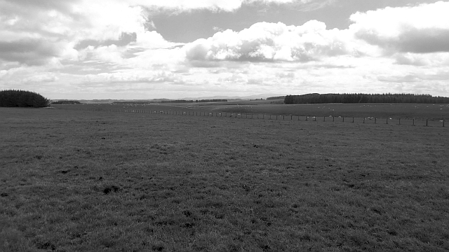
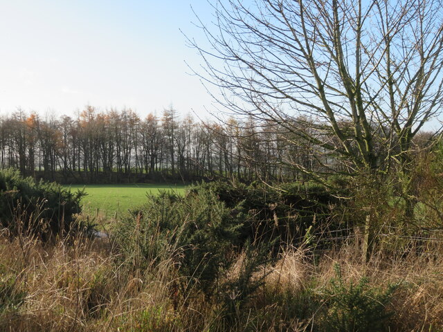
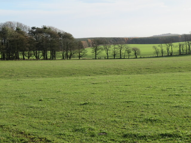
Cribbs Covert, located in Berwickshire, Scotland, is a picturesque wood or forest area that spans across approximately 200 acres of land. Nestled in the rolling hills of the Scottish Borders, this woodland is renowned for its natural beauty and tranquility.
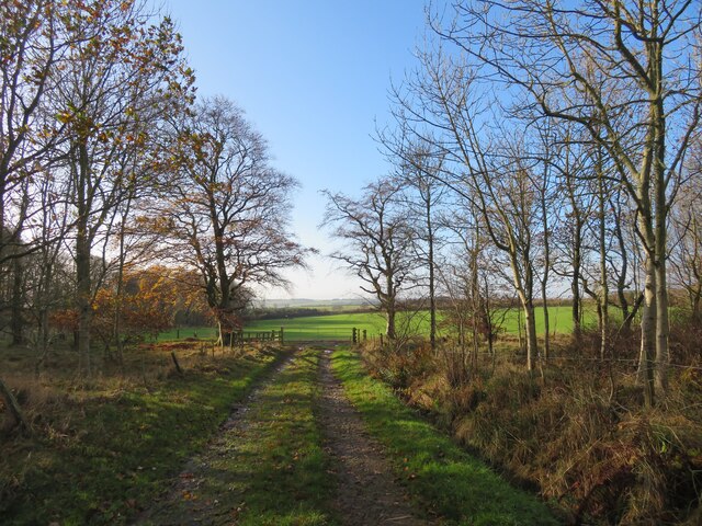
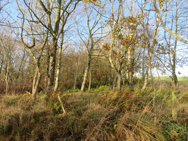
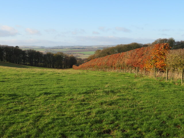
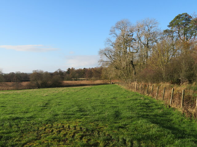
The woodland is primarily composed of a mix of broadleaf and coniferous trees, including oak, beech, pine, and spruce, which provide a diverse and rich habitat for a wide range of flora and fauna. The forest floor is covered in a carpet of moss, ferns, and wildflowers, adding to the enchanting atmosphere of the area.
Cribbs Covert offers a haven for wildlife enthusiasts, as it is home to various species of birds, including woodpeckers, owls, and songbirds. Additionally, the wood provides shelter and food for mammals such as red squirrels, badgers, and roe deer. The peacefulness of the woodland also makes it a popular spot for nature lovers to observe and enjoy the local wildlife.
Visitors to Cribbs Covert can explore the wood through a network of well-maintained walking trails that wind their way through the trees. These trails offer breathtaking views of the surrounding countryside and provide an opportunity to immerse oneself in the serenity of nature.
The wood is managed by a local conservation organization, which ensures the preservation of the forest's natural features and promotes sustainable practices. Educational programs and guided tours are also available, allowing visitors to learn more about the woodland's ecology and management.
In conclusion, Cribbs Covert in Berwickshire is a captivating wood or forest area that showcases the beauty of Scotland's natural landscape. With its diverse flora and fauna, well-maintained trails, and commitment to conservation, it offers a truly immersive and enriching experience for nature enthusiasts and visitors alike.
If you have any feedback on the listing, please let us know in the comments section below.
Cribbs Covert Images
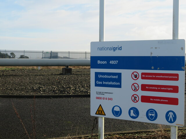
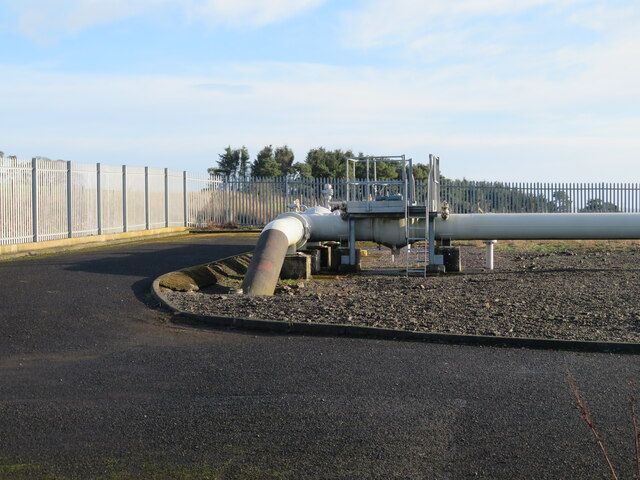
Images are sourced within 2km of 55.696442/-2.6595806 or Grid Reference NT5844. Thanks to Geograph Open Source API. All images are credited.
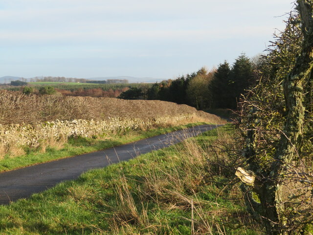
![Country road by Old Boon With a right [left?]-angle bend and passing place, and good pasture.](https://s3.geograph.org.uk/geophotos/07/34/96/7349631_6b53a82f.jpg)
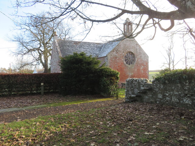
![Old gravestone at Legerwood An economical burial, with husband and wife with a twelve year gap, two[?] grandchildren [undated], and another burial a century later.
HERE : LAYS JAMES : GRA
HAM : LEAT : TENNANT : IN
THORNIDICK [*] : WHO:DIED
APRIL : 26 : 1758 : AGED : 66
YEARS : ALSO : JANET : PRING
LE : HIS : SPOUS : WHO : DIED
APRILE : 15 : 1770 : AGED : 61
YEARS : ALSO : ANDROU · &amp;[?]
JANET : GRAHAMS : THERE
GRAND : CHILDREN :
And
JAME HARDIE who died
7th Dec 1863 aged 67 years
*There is a Thornydykes 6km to the northeast in <a href="https://www.geograph.org.uk/gridref/NT6148">NT6148</a>](https://s3.geograph.org.uk/geophotos/07/35/98/7359875_23202bc1.jpg)
Cribbs Covert is located at Grid Ref: NT5844 (Lat: 55.696442, Lng: -2.6595806)
Unitary Authority: The Scottish Borders
Police Authority: The Lothians and Scottish Borders
What 3 Words
///necklaces.youngest.blog. Near Lauder, Scottish Borders
Nearby Locations
Related Wikis

Legerwood
Legerwood is a village by the Eden Water, in the Scottish Borders area of Scotland, near Lauder, near the Southern Upland Way. Legerwood Kirk is outside...

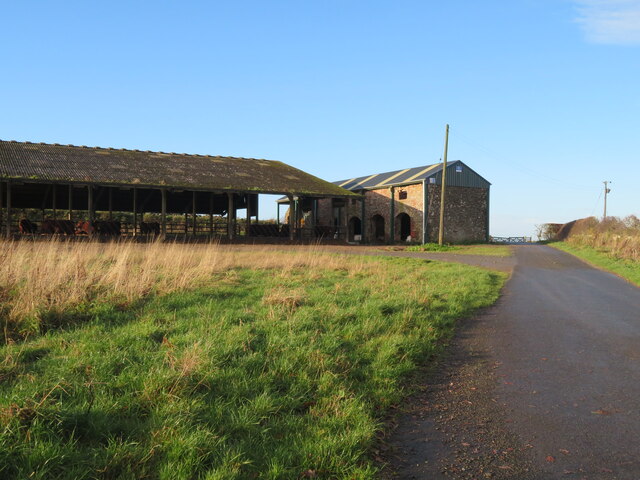
Boon Farm
Boon is a farm and former barony located near Lauder, Scotland. == History == === Name origins === Boon (aka "Boune" or "Bounn"), derives from the Breton...

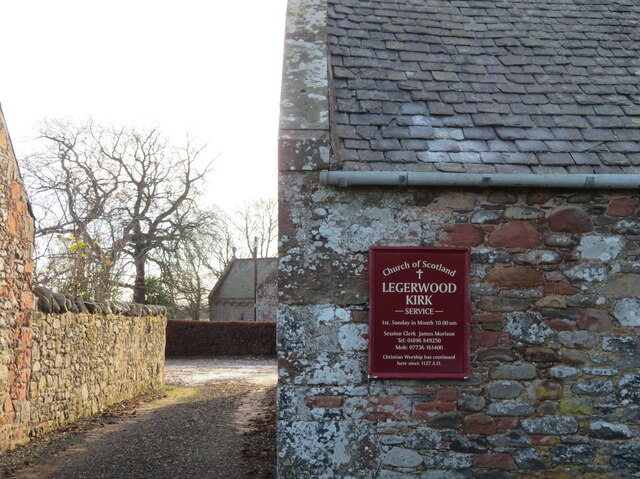
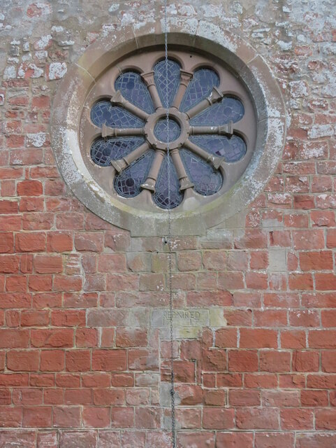
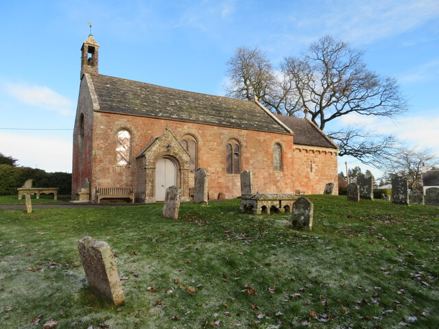
Legerwood Kirk
Legerwood Kirk is an ancient and historic Church of Scotland church in the former county of Berwickshire, Scotland. It is situated half a mile east of...

Corsbie Castle
Corsbie Castle is a ruined 16th-century tower house, about 2.5 miles (4.0 km) west of Gordon, Scottish Borders, Scotland, and north of the Eden Water....
Nearby Amenities
Located within 500m of 55.696442,-2.6595806Have you been to Cribbs Covert?
Leave your review of Cribbs Covert below (or comments, questions and feedback).