Howkins Wood

Wood, Forest in East Lothian

Scotland

Howkins Wood

Cyclists near Nether Hailes On National Cycle Network route 76 (Round the Forth) which runs from Berwick-upon-Tweed to Edinburgh and beyond. Overhailes Farm <a href="https://www.geograph.org.uk/gridref/NT5776">NT5776</a> can be seen on the far hillside beyond the River Tyne.
Cyclists near Nether Hailes Credit: Oliver Dixon

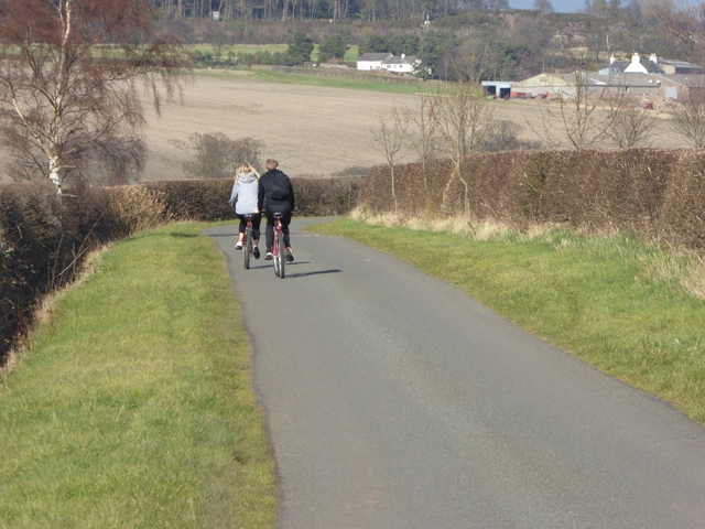
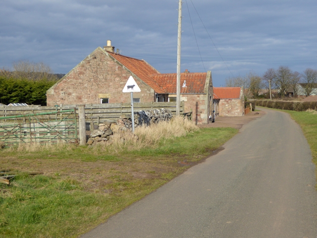
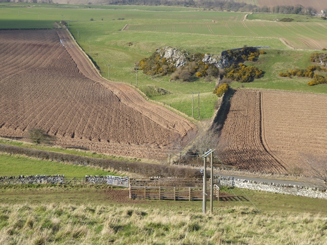
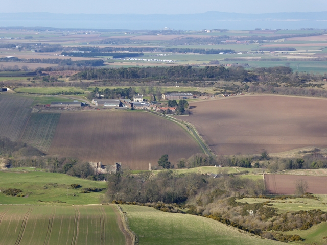
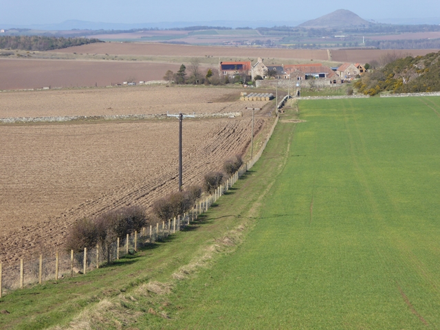
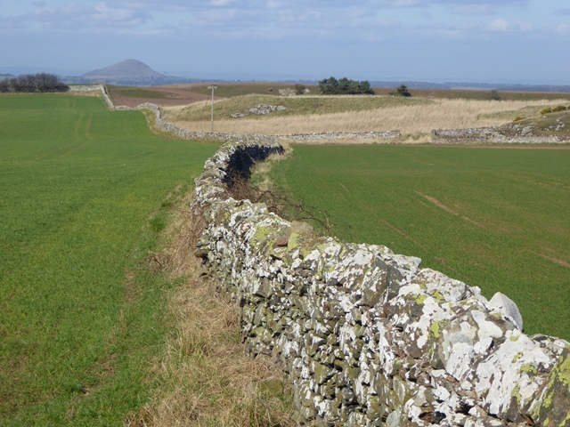
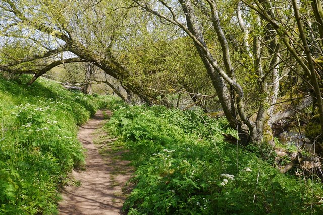
Howkins Wood is a picturesque forest located in East Lothian, Scotland. Covering an area of approximately 100 hectares, the wood is situated just south of the village of Gifford. It is easily accessible via a network of well-maintained footpaths and trails, making it a popular destination for nature enthusiasts and walkers.

The wood is predominantly composed of native broadleaf trees, including oak, beech, and birch, creating a diverse and vibrant ecosystem. These trees provide a dense canopy, allowing for an enchanting play of light and shade throughout the forest. The woodland floor is adorned with an array of wildflowers, such as bluebells and primroses, adding bursts of color to the landscape during the spring and summer months.

Wildlife thrives in Howkins Wood, with a variety of species making their home within its boundaries. Visitors may be lucky enough to spot red squirrels scampering among the treetops or catch a glimpse of roe deer grazing in the clearings. Birdwatchers will delight in the presence of woodpeckers, owls, and various woodland songbirds.

The wood is managed by a local conservation trust, ensuring the preservation and protection of its natural beauty. Regular maintenance work is carried out to maintain the footpaths and trails, providing a safe and enjoyable experience for visitors.

Whether seeking a peaceful stroll, a chance to reconnect with nature, or an opportunity to observe wildlife in its natural habitat, Howkins Wood offers a serene and captivating retreat in the heart of East Lothian.

If you have any feedback on the listing, please let us know in the comments section below.
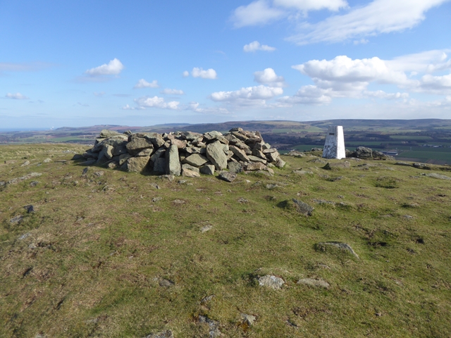
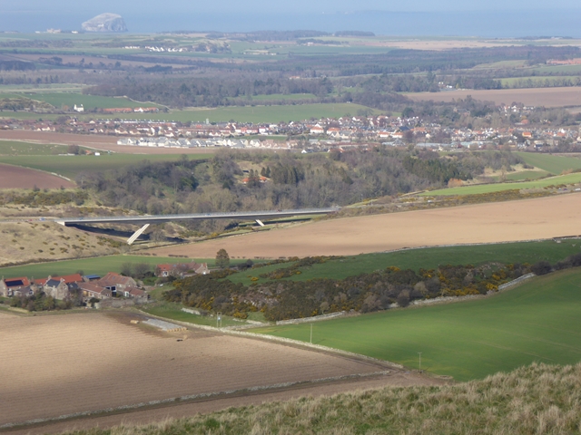
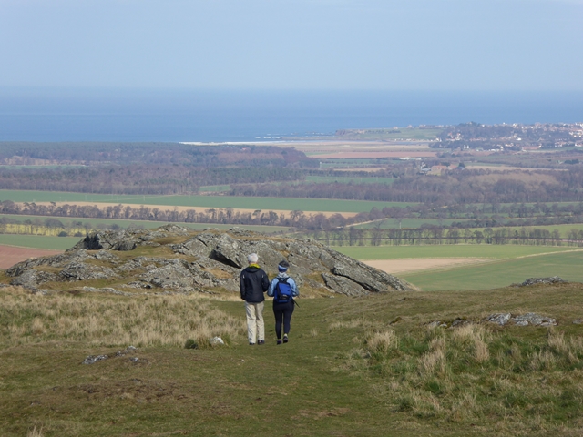
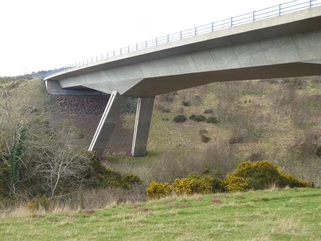
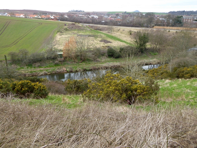
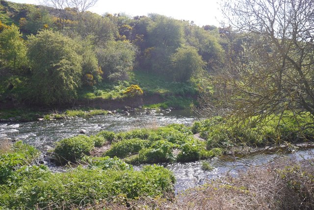
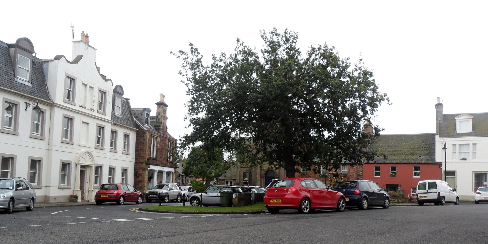
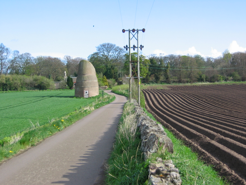
Howkins Wood Images

Images are sourced within 2km of 55.971807/-2.6799935 or Grid Reference NT5775. Thanks to Geograph Open Source API. All images are credited.

Cyclists near Nether Hailes On National Cycle Network route 76 (Round the Forth) which runs from Berwick-upon-Tweed to Edinburgh and beyond. Overhailes Farm <a href="https://www.geograph.org.uk/gridref/NT5776">NT5776</a> can be seen on the far hillside beyond the River Tyne.
Cyclists near Nether Hailes
On National Cycle Network route 76 (Round the Forth) which runs from Berwick-upon-Tweed to Edinburgh and beyond. Overhailes Farm NT5776 can be seen on the far hillside beyond the River Tyne.
Roadside cottages near Nether Hailes Farm
Fields to the north of Traprain Law Seen from the lower slopes of the west end of Traprain Law.
Fields to the north of Traprain Law
Seen from the lower slopes of the west end of Traprain Law.
Hailes Castle Hailes Castle was the fortified hall of the Northumbrian family, the Gourlays. Much of the building survives since 1240. In due course, the hall passed into the hands of another Northumbrian family, the Hepburns. By the 18th century, it was being occupied and used as a farm.
Hailes Castle
Hailes Castle was the fortified hall of the Northumbrian family, the Gourlays. Much of the building survives since 1240. In due course, the hall passed into the hands of another Northumbrian family, the Hepburns. By the 18th century, it was being occupied and used as a farm.
The summit of Traprain Law Although only 221 metres in height, Traprain Law stands well above the surrounding countryside and gives commanding views over East Lothian. The chimney of the Lafarge Cement Works <a href="https://www.geograph.org.uk/gridref/NT7076">NT7076</a> can just be made out on the horizon to the left.
The summit of Traprain Law
Although only 221 metres in height, Traprain Law stands well above the surrounding countryside and gives commanding views over East Lothian. The chimney of the Lafarge Cement Works NT7076 can just be made out on the horizon to the left.
Cycle rack by the car park at Traprain Law With Geograph-ers bike.
Cycle rack by the car park at Traprain Law
With Geograph-ers bike.
View north from Traprain Law A commanding view looking north from the modest summit of Traprain Law. In the foreground, Kippielaw Farmhouse, next the A1 viaduct spanning the River Tyne <a href="https://www.geograph.org.uk/gridref/NT5876">NT5876</a>. Beyond lies the village of East Linton. In the far distance, out to sea, is Bass Rock <a href="https://www.geograph.org.uk/gridref/NT6087">NT6087</a>.
View north from Traprain Law
A commanding view looking north from the modest summit of Traprain Law. In the foreground, Kippielaw Farmhouse, next the A1 viaduct spanning the River Tyne NT5876. Beyond lies the village of East Linton. In the far distance, out to sea, is Bass Rock NT6087.
View east-north-east from Traprain Law A commanding view looking east-north-east from the modest summit of Traprain Law. The sands of the Tyne estuary and Belhaven Bay can be seen in the distance, with the town of Dunbar to the right.
View east-north-east from Traprain Law
A commanding view looking east-north-east from the modest summit of Traprain Law. The sands of the Tyne estuary and Belhaven Bay can be seen in the distance, with the town of Dunbar to the right.
View north-north-west from Traprain Law A commanding view looking north-north-west from the modest summit of Traprain Law. Hailes Castle <a href="https://www.geograph.org.uk/gridref/NT5676">NT5676</a> in the foreground, with Overhailes beyond. Further away again is the East Fortune Airfield, housing the Museum of Flight <a href="https://www.geograph.org.uk/gridref/NT5578">NT5578</a>. Just out to sea is the island of Fidra <a href="https://www.geograph.org.uk/gridref/NT5186">NT5186</a> with its lighthouse.
View north-north-west from Traprain Law
A commanding view looking north-north-west from the modest summit of Traprain Law. Hailes Castle NT5676 in the foreground, with Overhailes beyond. Further away again is the East Fortune Airfield, housing the Museum of Flight NT5578. Just out to sea is the island of Fidra NT5186 with its lighthouse.
Kippielaw Farm Set in rolling East Lothian countryside. In the distance is North Berwick Law <a href="https://www.geograph.org.uk/gridref/NT5584">NT5584</a> and way over the other side of the Firth of Forth, the coast of Fife.
Kippielaw Farm
Set in rolling East Lothian countryside. In the distance is North Berwick Law NT5584 and way over the other side of the Firth of Forth, the coast of Fife.
Fields and walls near Kippielaw Farm In the middle distance a small rocky outcrop, formerly a quarry. In the distance is North Berwick Law <a href="https://www.geograph.org.uk/gridref/NT5584">NT5584</a>.
Fields and walls near Kippielaw Farm
In the middle distance a small rocky outcrop, formerly a quarry. In the distance is North Berwick Law NT5584.
A1 bridge over the River Tyne The new A1 Expressway was opened in 2004 and replaces the old single carriageway A1 to Dunbar.
A1 bridge over the River Tyne
The new A1 Expressway was opened in 2004 and replaces the old single carriageway A1 to Dunbar.
A1 bridge over the River Tyne The new A1 Expressway was opened in 2004 and replaces the old single carriageway A1 to Dunbar.
A1 bridge over the River Tyne
The new A1 Expressway was opened in 2004 and replaces the old single carriageway A1 to Dunbar.
Ploughed field at Luggate Traprain Law <a href="https://www.geograph.org.uk/gridref/NT5874">NT5874</a> dominates the horizon.
Ploughed field at Luggate
Traprain Law NT5874 dominates the horizon.
Rockrose at Sunnyside A new purpose-built equestrian centre.
Rockrose at Sunnyside
A new purpose-built equestrian centre.
The River Tyne at East Linton The small structure on the far bank is the Scottish Environment Protection Agency gauging station for East Linton. The village can be seen beyond.
The River Tyne at East Linton
The small structure on the far bank is the Scottish Environment Protection Agency gauging station for East Linton. The village can be seen beyond.
Path beside the Tyne The path between Hailes and East Linton.  There is a fine path beside the river from Haddington to Tyninghame.
Path beside the Tyne
The path between Hailes and East Linton. There is a fine path beside the river from Haddington to Tyninghame.
River Tyne The river runs below the general level of the land here and would be unnoticed if it were not for the fine path that runs from Haddington to Tyninghame.
River Tyne
The river runs below the general level of the land here and would be unnoticed if it were not for the fine path that runs from Haddington to Tyninghame.
Show me another place!

Howkins Wood is located at Grid Ref: NT5775 (Lat: 55.971807, Lng: -2.6799935)

Unitary Authority: East Lothian

Police Authority: The Lothians and Scottish Borders

What 3 Words

///replays.inversely.spilled. Near East Linton, East Lothian

Nearby Locations

Howkins Wood Hailes Castle

Related Wikis

Traprain Law

Traprain Law is a hill 6 km (4 mi) east of Haddington, East Lothian, Scotland. It is the site of a hill fort or possibly oppidum, which covered at its...

Markle Castle

Markle Castle, or Markle is a ruined 14th-century castle, about 0.5 miles (0.80 km) near the hamlet of Markle, north west of East Linton, East Lothian...

East Linton railway station

East Linton railway station is a railway station serving the village of East Linton, Scotland. The original station opened in 1846 and closed in 1964....

East Linton

East Linton is a village and former police burgh in East Lothian, Scotland, situated on the River Tyne and A199 road (former A1 road) five miles east of...

Markle, East Lothian

Markle is a hamlet in East Lothian, Scotland, 23 miles (37 km) East of Edinburgh and close to the village of East Linton. It is the site of the former...

Phantassie

Phantassie is an agricultural hamlet near East Linton, East Lothian, Scotland. It is close to the River Tyne, Preston Mill, and Prestonkirk Parish Church...

Prestonkirk Parish Church

Prestonkirk Parish Church is a Church of Scotland parish church at East Linton, in the parish of Traprain, East Lothian, Scotland, UK, close to Preston...

Preston Mill

Preston Mill is a watermill on the River Tyne at the eastern edge of East Linton on the B1407 Preston Road, in East Lothian, Scotland, UK. It is situated...

Related Videos

Walking with Don - East Linton to Hailes Castle - Part Three

East Linton to Hailes Castle - East Lothian - Scotland - Filmed 18th December 2019 Credits: Incidental music: Chris Haugen ...

Walking with Donald - The John Muir Way - Bellhaven Bay to East Linton - Part one

Walking with Donald - The John Muir Way - Bellhaven Bay to East Linton - Part one Filmed 9th December 2019, East Lothian, ...

Walking with Don - The Loth Stone - East Lothian

Walking with Donald - The Loth Stone - East Lothian December 21st 2019 ACDSee Luxea Video Editor ...

Walking with Donald - John Muir Way - East Linton to North Berwick - Part Three

Walking with Donald - John Muir Way - East Linton to North Berwick - Part Three John Muir Way - East Linton to North Berwick ...

Nearby Amenities

Located within 500m of 55.971807,-2.6799935
Bench
Backrest: no
Material: wood
Seats: 3
Lat/Long: 55.973586/-2.6834116
Power: pole
Lat/Long: 55.9678482/-2.6836735
Power: pole
Lat/Long: 55.9683421/-2.6847303
Power: pole
Lat/Long: 55.96866/-2.6843301
Power: pole
Lat/Long: 55.9692465/-2.6836518
Power: pole
Lat/Long: 55.9698943/-2.6829385
Power: pole
Lat/Long: 55.9704759/-2.6822821
Power: pole
Lat/Long: 55.9710771/-2.6815732
Power: pole
Lat/Long: 55.9716857/-2.6817767
Power: pole
Lat/Long: 55.9722979/-2.6819342
The data included in this document is from www.openstreetmap.org. The data is made available under ODbL.

Have you been to Howkins Wood?

Leave your review of Howkins Wood below (or comments, questions and feedback).