Tythehouse Plantation

Wood, Forest in Roxburghshire

Scotland

Tythehouse Plantation

B6357 towards Bonchester Bridge
B6357 towards Bonchester Bridge Credit: Steven Brown

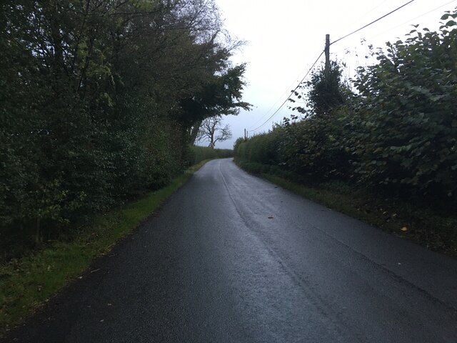
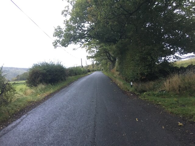
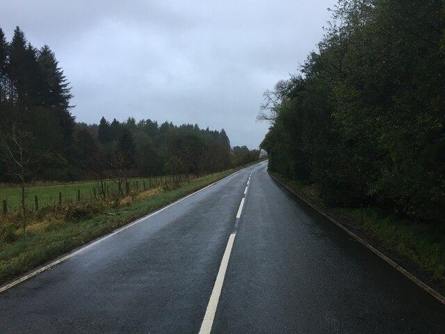
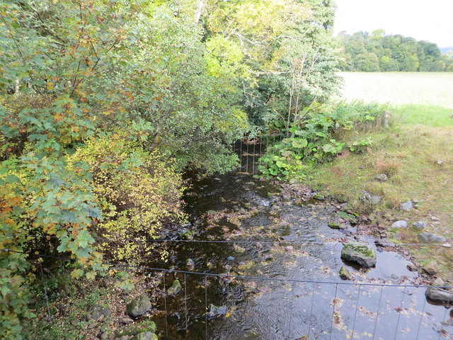
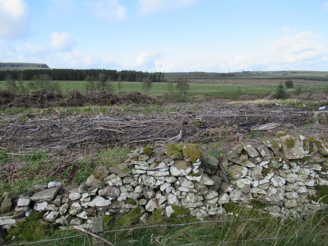
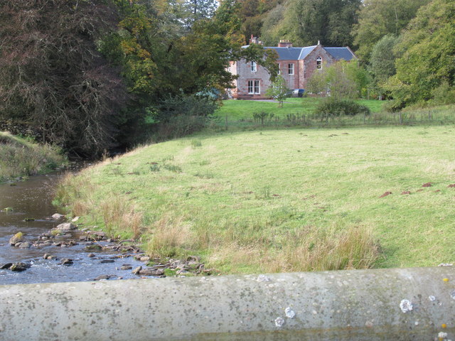
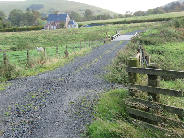
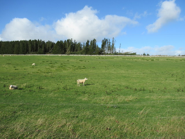
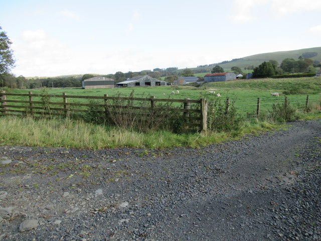
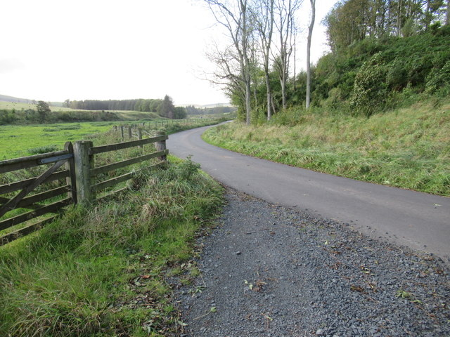
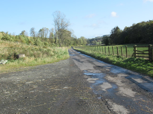
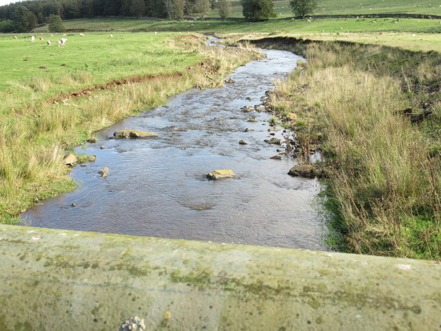
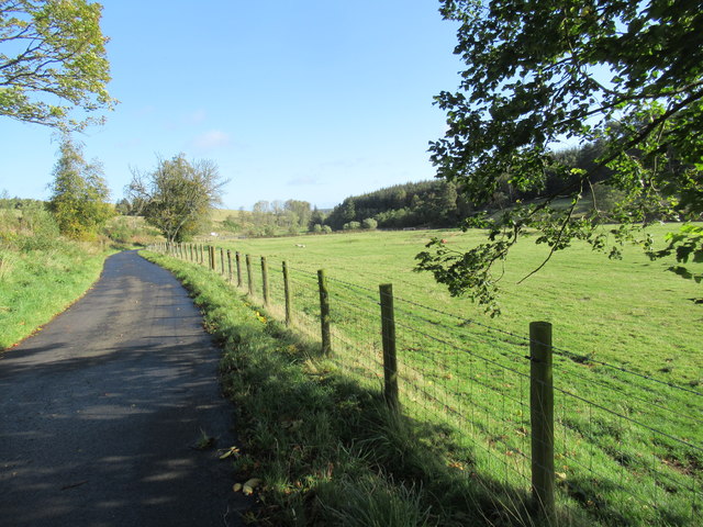
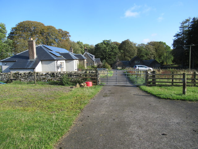
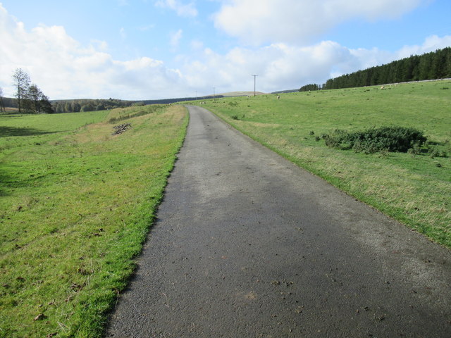
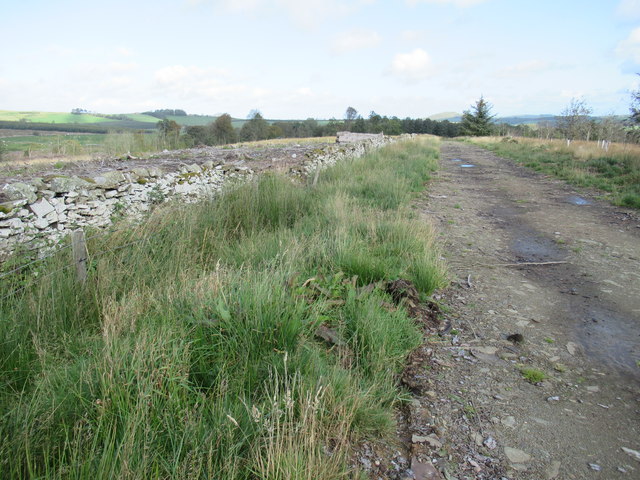
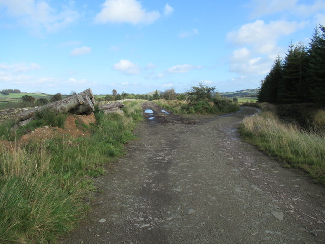
Tythehouse Plantation is a picturesque woodland located in Roxburghshire, Scotland. Covering an area of approximately 300 acres, this plantation is known for its diverse range of tree species, including oak, beech, and pine. The woodland is well-maintained and provides a peaceful retreat for visitors looking to immerse themselves in nature.

The plantation is home to a variety of wildlife, including deer, squirrels, and a wide array of bird species. Visitors can enjoy leisurely walks along the well-marked trails, taking in the sights and sounds of the forest. The woodland is also popular with birdwatchers, who come to spot rare and native species in their natural habitat.

Tythehouse Plantation is a popular destination for outdoor enthusiasts, offering opportunities for hiking, birdwatching, and photography. The tranquil atmosphere and stunning natural beauty make it a perfect spot for relaxation and rejuvenation. Whether you are looking for a peaceful escape or a chance to connect with nature, Tythehouse Plantation is a must-visit destination in Roxburghshire.

If you have any feedback on the listing, please let us know in the comments section below.

Tythehouse Plantation Images

Images are sourced within 2km of 55.368746/-2.6696582 or Grid Reference NT5708. Thanks to Geograph Open Source API. All images are credited.

B6357 towards Bonchester Bridge
Ordnance Survey Flush Bracket 11419 This can be found on the parapet wall of a bridge over Catlee Burn at Forkins.
For more detail see : <span class="nowrap"><a title="http://www.bench-marks.org.uk/bm16610" rel="nofollow ugc noopener" href="http://www.bench-marks.org.uk/bm16610">Link</a><img style="margin-left:2px;" alt="External link" title="External link - shift click to open in new window" src="https://s1.geograph.org.uk/img/external.png" width="10" height="10"/></span>
Ordnance Survey Flush Bracket 11419
This can be found on the parapet wall of a bridge over Catlee Burn at Forkins. For more detail see : LinkExternal link
Catlee Burn viewed from the bridge at Forkins Looking north-westward.
Catlee Burn viewed from the bridge at Forkins
Looking north-westward.
View north-west over old dykeline near Harwood Lake in the Scottish Borders Mature wood harvested and a lot of work going on with its replacement.
View north-west over old dykeline near Harwood Lake in the Scottish Borders
Mature wood harvested and a lot of work going on with its replacement.
Harwood big hoose near Hobkirk The term 'big hoose' is fundamentally quantative but strenuously cultural: ye could bigg a bigger hoose but it wad nae be as 'big' as the big hoose!
Harwood big hoose near Hobkirk
The term 'big hoose' is fundamentally quantative but strenuously cultural: ye could bigg a bigger hoose but it wad nae be as 'big' as the big hoose!
Bridge across Harwood burn to cottage near Hobkirk in the Scottish Borders As yet unmapped and unsatted!!
Bridge across Harwood burn to cottage near Hobkirk in the Scottish Borders
As yet unmapped and unsatted!!
Stonedge Forest from Lurgiescleuch road near Hobkirk I had to use paces from previous identifiable spot to locate this satisfactorily: never navigate by forest features if you do not know the ground!!
Stonedge Forest from Lurgiescleuch road near Hobkirk
I had to use paces from previous identifiable spot to locate this satisfactorily: never navigate by forest features if you do not know the ground!!
Track junction with public road near Hobkirk in the Scottish Borders
Road near Harwood in the Scottish Borders
Looking downstream on Harwood Burn in the Scottish Borders
Attractive haughland near Hobkirk in the Scottish Borders
Houses at Harwood in the Scottish Borders
Road to Lurgiecleuch near Hobkirk in the Scottish Borders A private track with a respect for the residents' suspension.
Road to Lurgiecleuch near Hobkirk in the Scottish Borders
A private track with a respect for the residents' suspension.
New track old dykeline near Harwood by Hobkirk in the Scottish Borders
Junction of new tracks on Harwood in the Scottish Borders
Show me another place!

Tythehouse Plantation is located at Grid Ref: NT5708 (Lat: 55.368746, Lng: -2.6696582)

Unitary Authority: The Scottish Borders

Police Authority: The Lothians and Scottish Borders

What 3 Words

///inefficient.fairly.pickle. Near Hawick, Scottish Borders

Related Wikis

Wauchope, Scottish Borders

Wauchope is a hamlet in the Scottish Borders council area of Scotland, near Southdean. Wauchope House was demolished in 1932. == See also == Wauchope Forest...

Hobkirk

Hobkirk (Scottish Gaelic: Eaglais Ruail) is a village and civil parish in the Scottish Borders area of Scotland, by the Rule Water, south-west of Jedburgh...

Bonchester Bridge

Bonchester Bridge (Scots Binster Brig) is a village in Roxburghshire, within the Scottish Borders area of Scotland, lying on the Rule Water, six miles...

Abbotrule

Abbotrule is a hamlet south of the B6357 road, in the Scottish Borders area of Scotland, on Rule Burn, east of the Rule Water. Places nearby include Bedrule...

Nearby Amenities

Located within 500m of 55.368746,-2.6696582
Generator Method: photovoltaic
Generator Output Electricity: yes
Generator Source: solar
Generator Type: solar_photovoltaic_panel
Power: generator
Lat/Long: 55.3654861/-2.6683313
Power: pole
Lat/Long: 55.3727427/-2.6671725
Power: pole
Lat/Long: 55.3724051/-2.6677846
Power: pole
Lat/Long: 55.3686013/-2.6672069
Power: pole
Lat/Long: 55.3684993/-2.666367
Power: pole
Lat/Long: 55.3683786/-2.6653604
Power: pole
Lat/Long: 55.3682744/-2.6645256
Power: pole
Lat/Long: 55.3681746/-2.6636832
Power: pole
Lat/Long: 55.3681067/-2.6628306
Power: pole
Lat/Long: 55.3724318/-2.6664039
Power: pole
Lat/Long: 55.3717709/-2.6665464
Power: pole
Lat/Long: 55.3711128/-2.6666889
Power: pole
Lat/Long: 55.3704808/-2.6668162
Power: pole
Lat/Long: 55.3698242/-2.6669536
Power: pole
Lat/Long: 55.3692283/-2.6670809
Power: pole
Lat/Long: 55.3679266/-2.6673532
Power: pole
Lat/Long: 55.3672077/-2.6675034
Power: pole
Lat/Long: 55.3665583/-2.6676332
Power: pole
Lat/Long: 55.3658625/-2.6677757
Power: pole
Lat/Long: 55.365472/-2.6679208
The data included in this document is from www.openstreetmap.org. The data is made available under ODbL.

Have you been to Tythehouse Plantation?

Leave your review of Tythehouse Plantation below (or comments, questions and feedback).