Arniesyde Plantation

Wood, Forest in Roxburghshire

Scotland

Arniesyde Plantation

Road approaching Northfield Farm Looking south-westward.
Road approaching Northfield Farm Credit: Peter Wood

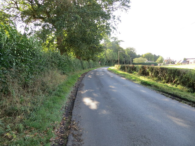
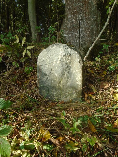
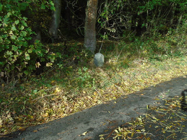
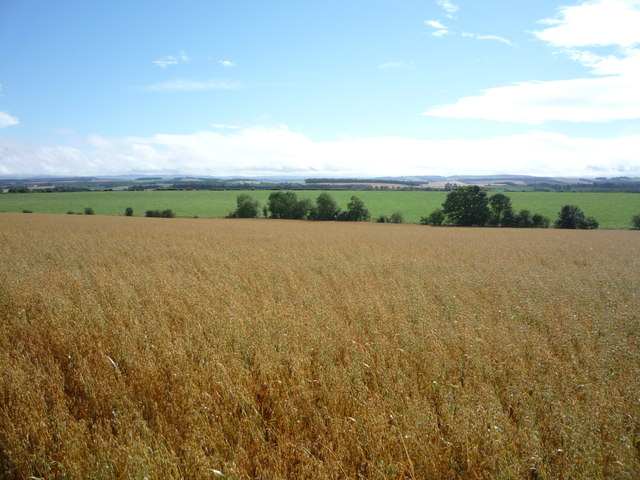
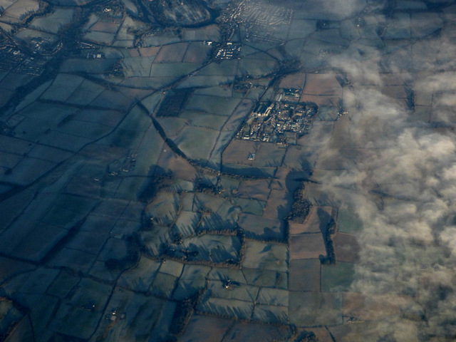
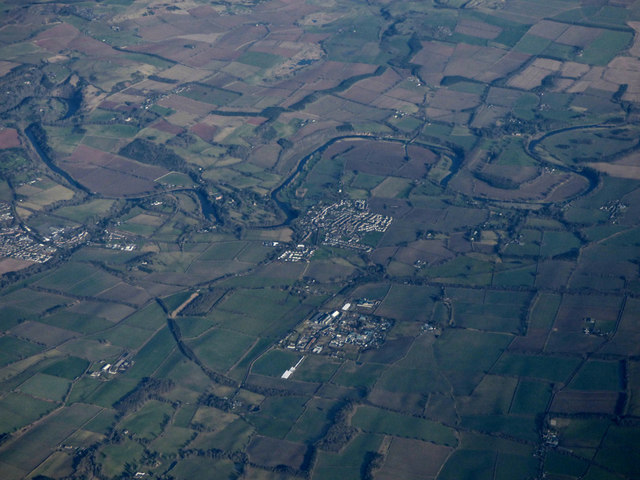
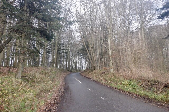
Arniesyde Plantation is a picturesque woodland located in the county of Roxburghshire, Scotland. Covering an area of approximately 100 acres, this plantation is renowned for its diverse range of tree species and its stunning natural beauty.

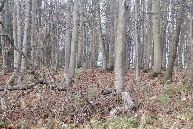
The woodland is predominantly composed of native Scottish species, including oak, birch, and rowan trees. These towering trees create a dense canopy, providing a habitat for a variety of wildlife, such as red squirrels, roe deer, and numerous bird species.

Arboretum enthusiasts are drawn to Arniesyde Plantation due to its impressive collection of exotic and rare tree species. The plantation features a selection of conifers, including Douglas fir, western red cedar, and spruce, which add character and diversity to the woodland.

Visitors to Arniesyde Plantation can explore the area through a network of well-maintained footpaths, which wind their way through the trees and offer breathtaking views of the surrounding countryside. The calming sounds of birdsong and the rustling of leaves create a tranquil atmosphere, providing a perfect escape from the hustle and bustle of everyday life.

The plantation also serves as a valuable educational resource, offering guided tours and educational programs for schools and nature enthusiasts. These activities provide an opportunity to learn about the importance of woodland conservation and the role of trees in sustaining the local ecosystem.

Overall, Arniesyde Plantation is a cherished natural treasure in Roxburghshire, offering a serene and scenic environment for exploration and appreciation of Scotland's rich woodland heritage.

If you have any feedback on the listing, please let us know in the comments section below.

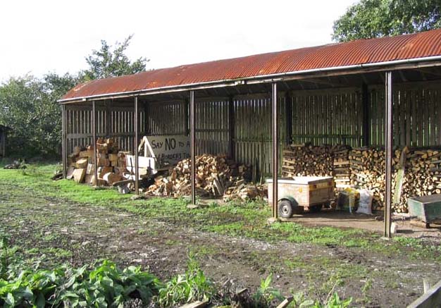
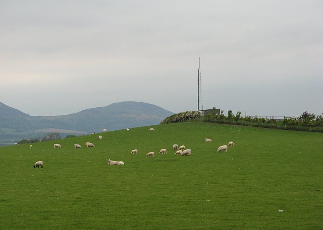
Arniesyde Plantation Images

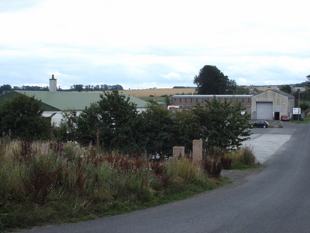
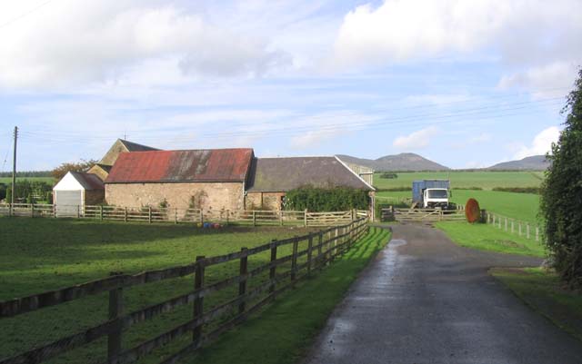
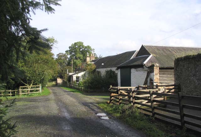
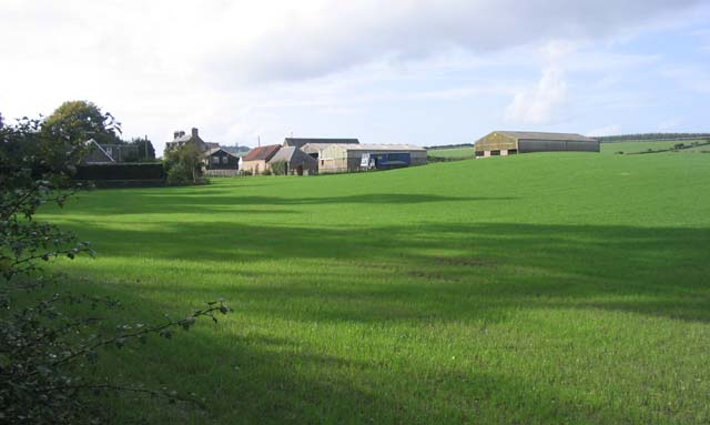
Images are sourced within 2km of 55.557352/-2.6785386 or Grid Reference NT5729. Thanks to Geograph Open Source API. All images are credited.

Road approaching Northfield Farm Looking south-westward.
Road approaching Northfield Farm
Looking south-westward.
Old milestone Vegetation cleared from around the old, worn milestone which may once have had a 2 inscribed or painted on as it is 2 miles from St Boswells on the minor road towards Lilliesleaf.
Old milestone
Vegetation cleared from around the old, worn milestone which may once have had a 2 inscribed or painted on as it is 2 miles from St Boswells on the minor road towards Lilliesleaf.
Old milestone The milestone on the narrow verge just after a left-hand bend when approaching from St Boswells.   The small Arniesyde plantation is behind the stone.   This lane joins the B6359 just over a mile further southwest.
Old milestone
The milestone on the narrow verge just after a left-hand bend when approaching from St Boswells. The small Arniesyde plantation is behind the stone. This lane joins the B6359 just over a mile further southwest.
Crop field near Northfield
Charlesfield industrial estate from the air Whinfield and Elliston are in the foreground, St Boswells is in the distance.
Charlesfield industrial estate from the air
Whinfield and Elliston are in the foreground, St Boswells is in the distance.
Old Milestone by Arniesyde Plantation, near Thornielaw Milestone by the UC road, in parish of St Boswells (Roxburgh District), Northwest of Thornielaw, on verge by Arniesyde Plantation, North side of road.

Inscription once read:-
ST. BOSWELLS
2

Surveyed

Milestone Society National ID: BD_SBLL02
Old Milestone by Arniesyde Plantation, near Thornielaw
Milestone by the UC road, in parish of St Boswells (Roxburgh District), Northwest of Thornielaw, on verge by Arniesyde Plantation, North side of road. Inscription once read:- ST. BOSWELLS 2 Surveyed Milestone Society National ID: BD_SBLL02
Old Milestone near Langside, Bowden parish Milestone by the UC road, in parish of Bowden (Roxburgh District), Langside, on verge in front of drystone wall.

Inscription once read:-
(Newtown)
(3)

Surveyed

Milestone Society National ID: BD_SBLL03
Old Milestone near Langside, Bowden parish
Milestone by the UC road, in parish of Bowden (Roxburgh District), Langside, on verge in front of drystone wall. Inscription once read:- (Newtown) (3) Surveyed Milestone Society National ID: BD_SBLL03
Charlesfield from the air Charlesfield industrial estate is in the foreground with Newton St Boswells and St Boswells on the banks of the Tweed beyond.
Charlesfield from the air
Charlesfield industrial estate is in the foreground with Newton St Boswells and St Boswells on the banks of the Tweed beyond.
Road through Arniesyde Plantation
Arniesyde Plantation
Charlesfield Industrial Estate
Bridge on former Waverley Route south of St Boswells Looking towards Thornielaw Farm through arch.
Bridge on former Waverley Route south of St Boswells
Looking towards Thornielaw Farm through arch.
Part of Charlesfield Industrial Estate The building to the right of the picture is the Goods Vehicle Testing Station. The long building to the left of that is one of the few remaining buildings from the sites former use for military purposes in WW 2.
Part of Charlesfield Industrial Estate
The building to the right of the picture is the Goods Vehicle Testing Station. The long building to the left of that is one of the few remaining buildings from the sites former use for military purposes in WW 2.
The entrance to Northfield Farm
Elliston Farm
Elliston Farm
Northfield Farm Viewed from the minor road to St Boswells that runs by the farm.
Northfield Farm
Viewed from the minor road to St Boswells that runs by the farm.
A wood shed at Ellison A sign is stored here "SAY NO TO A NEW BORDERS TOWN". This has been used in protest against Scottish Borders Council proposals for a new town in the St Boswells area. Many locals feel the proposed reinstatement of the Waverley Railway Line is an excuse to build lots of new houses that would spoil the Borders countryside.
A wood shed at Ellison
A sign is stored here "SAY NO TO A NEW BORDERS TOWN". This has been used in protest against Scottish Borders Council proposals for a new town in the St Boswells area. Many locals feel the proposed reinstatement of the Waverley Railway Line is an excuse to build lots of new houses that would spoil the Borders countryside.
Back Hill Sheep pasture and mast, Eildon Hills in the background.
Back Hill
Sheep pasture and mast, Eildon Hills in the background.
Show me another place!

Arniesyde Plantation is located at Grid Ref: NT5729 (Lat: 55.557352, Lng: -2.6785386)

Unitary Authority: The Scottish Borders

Police Authority: The Lothians and Scottish Borders

What 3 Words

///joystick.circulate.flight. Near Newtown St Boswells, Scottish Borders

Nearby Locations

Arniesyde Plantation

Related Wikis

Charlesfield Halt railway station

Charlesfield Halt railway station served the village of Charlesfield, Melrose, Scotland, from 1942 to 1961 on the Waverley Route. == History == The station...

Bowden, Scottish Borders

Bowden is a village in the Roxburghshire area of the Scottish Borders, situated 3 miles (5 kilometres) south of Melrose, 2 miles (3 kilometres) west of...

Newtown St Boswells

Newtown St Boswells (Scots: Newtoon; Scottish Gaelic: Baile Ùr Bhoisil [ˈpaləˈuːɾˈvɔʃɪl]) is a village in the Scottish Borders council area, in south-east...

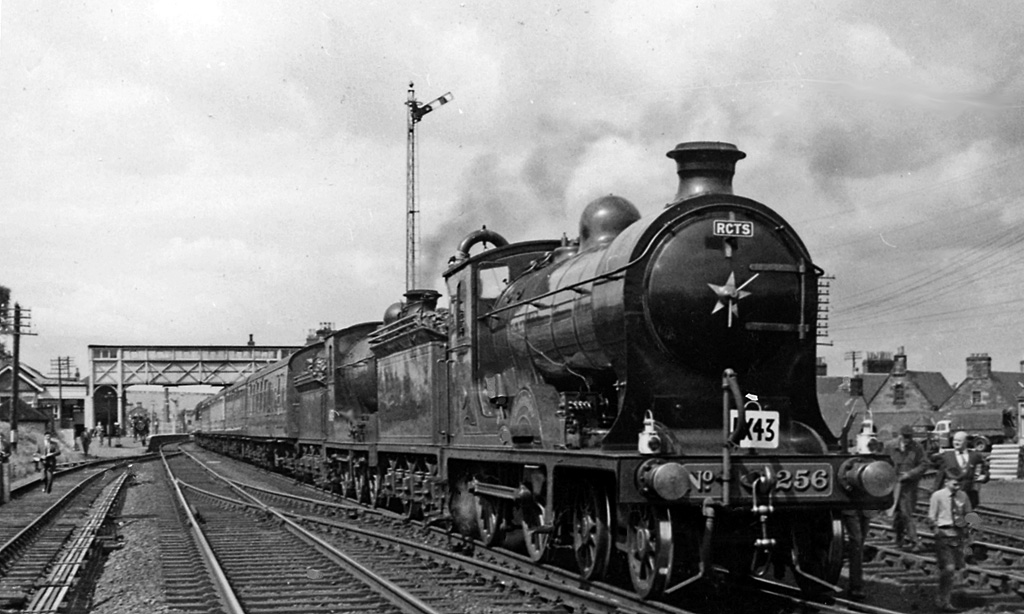
St. Boswells railway station

St Boswells railway station was a railway station that served the villages of Newtown St Boswells and St Boswells, Scottish Borders, Scotland from 1849...

Nearby Amenities

Located within 500m of 55.557352,-2.6785386
Camieston
Place: hamlet
Lat/Long: 55.560507/-2.6819965
Thornielaw
Place: hamlet
Lat/Long: 55.5548273/-2.6734407
Power: pole
Lat/Long: 55.5606626/-2.6732693
Power: pole
Lat/Long: 55.5602423/-2.6742237
Power: pole
Lat/Long: 55.5597846/-2.6752544
Power: pole
Lat/Long: 55.5593412/-2.6762546
Power: pole
Lat/Long: 55.5588907/-2.6772549
Power: pole
Lat/Long: 55.5543592/-2.67289
Power: pole
Lat/Long: 55.554817/-2.6728646
Power: pole
Lat/Long: 55.5552316/-2.672834
Power: pole
Lat/Long: 55.5558031/-2.673539
Power: pole
Lat/Long: 55.556376/-2.6742338
Power: pole
Lat/Long: 55.5568899/-2.6748345
Power: pole
Lat/Long: 55.5573793/-2.6754224
Power: pole
Lat/Long: 55.5577867/-2.6759416
Power: pole
Lat/Long: 55.5582171/-2.6764582
Power: pole
Lat/Long: 55.5592103/-2.6780616
Power: pole
Lat/Long: 55.5595125/-2.6788023
Power: pole
Lat/Long: 55.5598868/-2.6797312
Power: pole
Lat/Long: 55.5602783/-2.6807518
Power: pole
Lat/Long: 55.5607302/-2.6811819
Power: pole
Lat/Long: 55.5609562/-2.6806322
Power: pole
Lat/Long: 55.5612282/-2.6799654
Power: pole
Lat/Long: 55.5615103/-2.678054
Power: pole
Lat/Long: 55.5610397/-2.679604
Power: pole
Lat/Long: 55.5607245/-2.6806195
Power: pole
Lat/Long: 55.5561964/-2.6859171
Power: pole
Lat/Long: 55.556634/-2.6846598
Power: pole
Lat/Long: 55.557086/-2.6833567
Power: pole
Lat/Long: 55.5574416/-2.6820358
Power: pole
Lat/Long: 55.5577856/-2.6807454
Power: pole
Lat/Long: 55.5581397/-2.6794525
Power: pole
Lat/Long: 55.5584866/-2.678152
The data included in this document is from www.openstreetmap.org. The data is made available under ODbL.

Have you been to Arniesyde Plantation?

Leave your review of Arniesyde Plantation below (or comments, questions and feedback).