Black Wood

Wood, Forest in East Lothian

Scotland

Black Wood

Trees above Donolly The two trees above the Donolly Burn in very different conditions to those seen here. A January day with cold winds but no snow.
<a title="https://www.geograph.org.uk/photo/5702840" href="https://www.geograph.org.uk/photo/5702840">Link</a>
Trees above Donolly Credit: Adam Ward

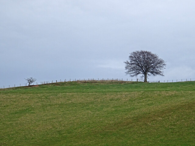
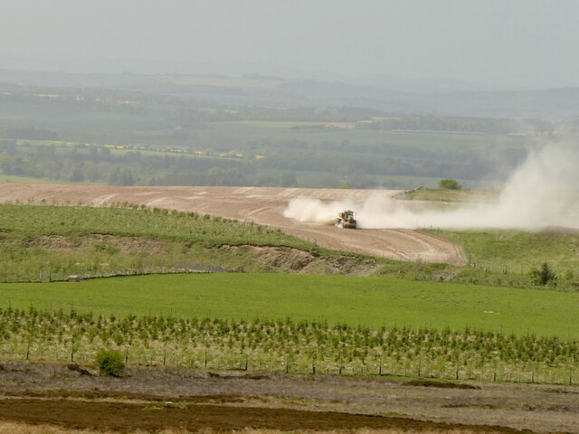
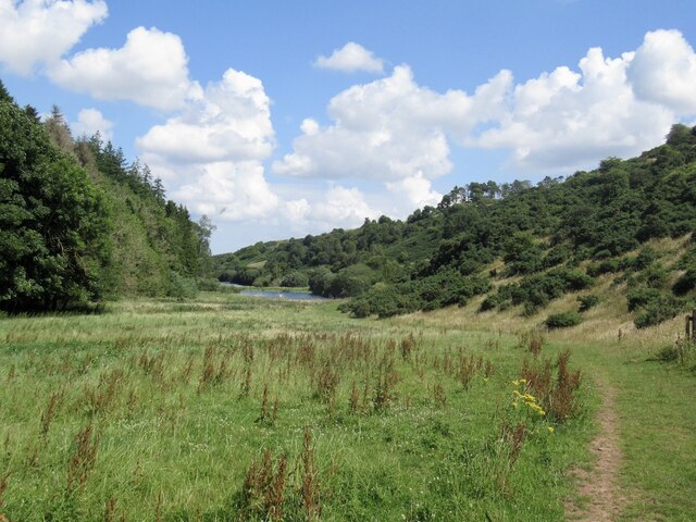
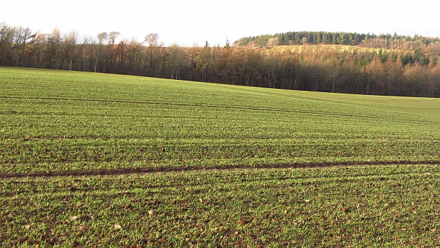
Black Wood is a forested area located in East Lothian, Scotland. Covering an expansive area, this woodland is known for its rich biodiversity and scenic beauty. Situated near the village of Gifford, the forest is easily accessible and attracts visitors from near and far.

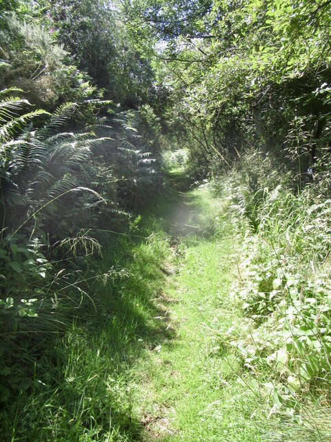
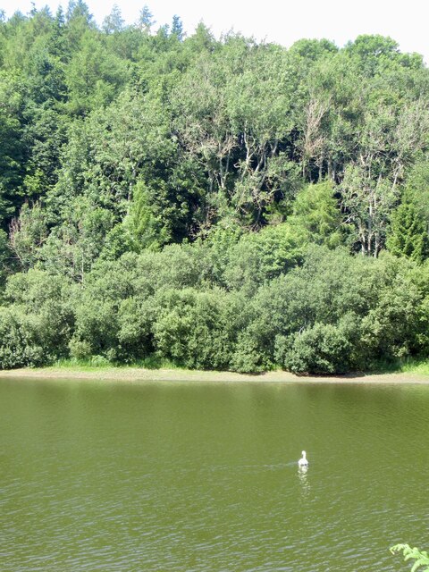
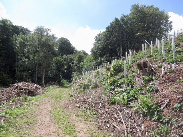
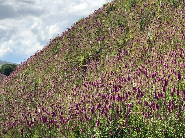
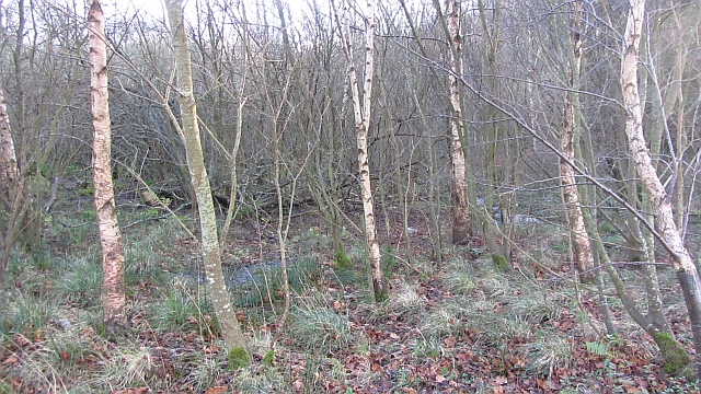
The woodland is predominantly composed of native trees, including oak, birch, and beech. These majestic trees create a dense canopy, providing a habitat for a wide range of flora and fauna. The forest floor is covered in a thick carpet of mosses, ferns, and wildflowers, adding to the enchanting atmosphere of the area.

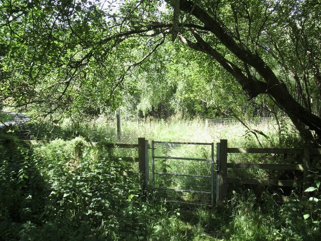
Black Wood offers numerous walking trails that wind through its serene surroundings. These paths cater to all levels of fitness and provide an excellent opportunity to immerse oneself in nature. Visitors can enjoy leisurely strolls, challenging hikes, or even mountain biking along the designated routes.

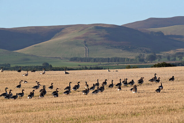
The forest is home to a diverse array of wildlife. Birdwatchers will delight in the chance to spot species such as woodpeckers, owls, and finches, while nature enthusiasts may encounter red squirrels, deer, and other small mammals. Additionally, the forest houses a variety of insect species, adding to the ecological significance of the area.

Black Wood also holds historical importance, with remnants of ancient settlements and archaeological sites scattered throughout the woodland. These artifacts provide insights into the area's past and add an element of intrigue to the overall experience.

In conclusion, Black Wood in East Lothian is a captivating forest that offers a tranquil escape from the bustle of everyday life. Its natural beauty, diverse wildlife, and historical significance make it an ideal destination for nature lovers and history enthusiasts alike.

If you have any feedback on the listing, please let us know in the comments section below.

Black Wood Images

Images are sourced within 2km of 55.898929/-2.6849706 or Grid Reference NT5767. Thanks to Geograph Open Source API. All images are credited.

Trees above Donolly The two trees above the Donolly Burn in very different conditions to those seen here. A January day with cold winds but no snow.
<a title="https://www.geograph.org.uk/photo/5702840" href="https://www.geograph.org.uk/photo/5702840">Link</a>
Trees above Donolly
The two trees above the Donolly Burn in very different conditions to those seen here. A January day with cold winds but no snow. Link
Liming, Black Castle Raising the pH of the soil with calcium oxide.
Liming, Black Castle
Raising the pH of the soil with calcium oxide.
Road to Donolly Reservoir
Path, Donolly Reservoir A little overgrown in places and I came home with some alarming looking dermatitis on one leg, so there may be some hogweed of some description lurking here or alongside the Danskine Loch.
Path, Donolly Reservoir
A little overgrown in places and I came home with some alarming looking dermatitis on one leg, so there may be some hogweed of some description lurking here or alongside the Danskine Loch.
Donolly Reservoir As usual in Summer, rather green looking.
Donolly Reservoir
As usual in Summer, rather green looking.
Donolly Reservoir and Snawdon Howe
Gate, Gifford to Garvald path One of a pair.
Gate, Gifford to Garvald path
One of a pair.
Clear fell and replanting, Danskine Lodge The northern end of the Yester woodlands have been felled. There are a lot of logo adorned No-tices about, but the more offensive ones seem to have vanished, although there is still an English style keep to the path one in Gifford. There is a very exceptionalist attitude here and they are sadly getting away with it.
Clear fell and replanting, Danskine Lodge
The northern end of the Yester woodlands have been felled. There are a lot of logo adorned No-tices about, but the more offensive ones seem to have vanished, although there is still an English style keep to the path one in Gifford. There is a very exceptionalist attitude here and they are sadly getting away with it.
Replanted woodland, Danskine
Yester woodlands Southern edge of the 2021 clear fell.
Yester woodlands
Southern edge of the 2021 clear fell.
Greylag geese (Anser anser) The geese were photographed in a stubble field from the B6355 at Danskine.
Greylag geese (Anser anser)
The geese were photographed in a stubble field from the B6355 at Danskine.
Geese in a stubble field at Danskine This mixed flock of Canada and Greylag geese was viewed from the B6355.
Geese in a stubble field at Danskine
This mixed flock of Canada and Greylag geese was viewed from the B6355.
Greylag geese (Anser anser) The geese were photographed in a stubble field from the B6355 at Danskine.
Greylag geese (Anser anser)
The geese were photographed in a stubble field from the B6355 at Danskine.
Foxgloves, Danskine Following clear felling.  Foxglove seeds remain dormant under tree cover for a long time and germinate when light once again returns to the forest floor.  Naturally they would exploit fallen mature trees.
Foxgloves, Danskine
Following clear felling. Foxglove seeds remain dormant under tree cover for a long time and germinate when light once again returns to the forest floor. Naturally they would exploit fallen mature trees.
Arable land, Snawdon Planting winter cereals is now an established practice here. The days of a Winter's worth of stubble are coming to an end.
Arable land, Snawdon
Planting winter cereals is now an established practice here. The days of a Winter's worth of stubble are coming to an end.
Winter cereals, Danskine A germinating crop on the edge of the Lammermuir Hills.
Winter cereals, Danskine
A germinating crop on the edge of the Lammermuir Hills.
Marshy woodland, Danskine Wet woodland downstream of the loch at Danskine.
Marshy woodland, Danskine
Wet woodland downstream of the loch at Danskine.
Stubble, Carfrae A vast amalgamated field which has yet to be ploughed and was rich in birdlife.
Stubble, Carfrae
A vast amalgamated field which has yet to be ploughed and was rich in birdlife.
Show me another place!

Black Wood is located at Grid Ref: NT5767 (Lat: 55.898929, Lng: -2.6849706)

Unitary Authority: East Lothian

Police Authority: The Lothians and Scottish Borders

What 3 Words

///includes.documents.enjoy. Near Haddington, East Lothian

Nearby Locations

Black Wood

Related Wikis

Nearby Amenities

Located within 500m of 55.898929,-2.6849706
Danskine
Place: locality
Lat/Long: 55.8968579/-2.6902671
The data included in this document is from www.openstreetmap.org. The data is made available under ODbL.

Have you been to Black Wood?

Leave your review of Black Wood below (or comments, questions and feedback).