Pencraig Wood

Wood, Forest in East Lothian

Scotland

Pencraig Wood

Winter wheat at Beanston Mains With the large steading across the field.
Winter wheat at Beanston Mains Credit: M J Richardson

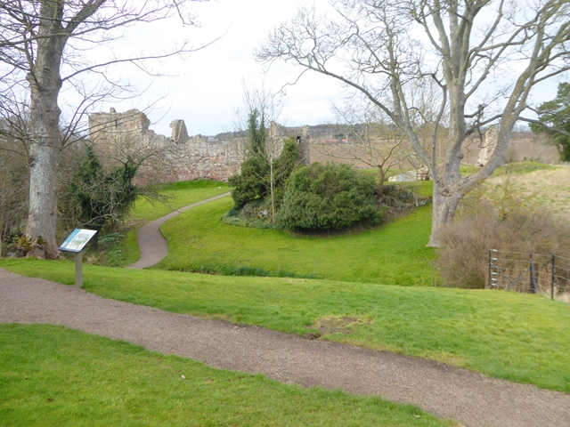
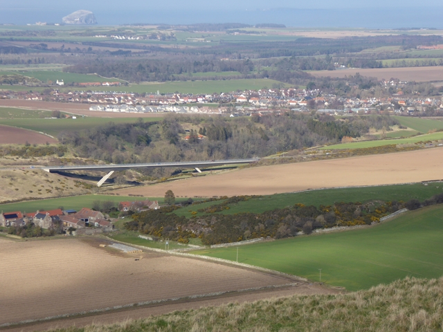
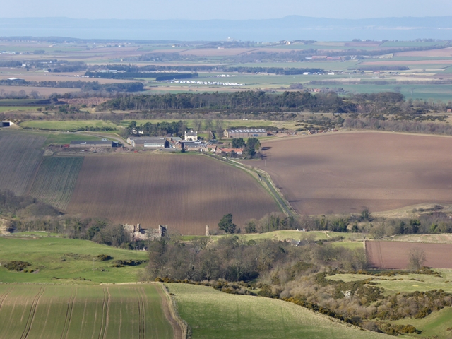
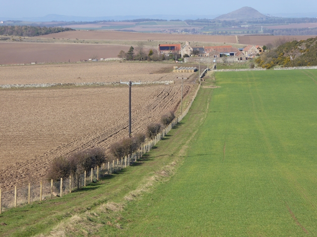
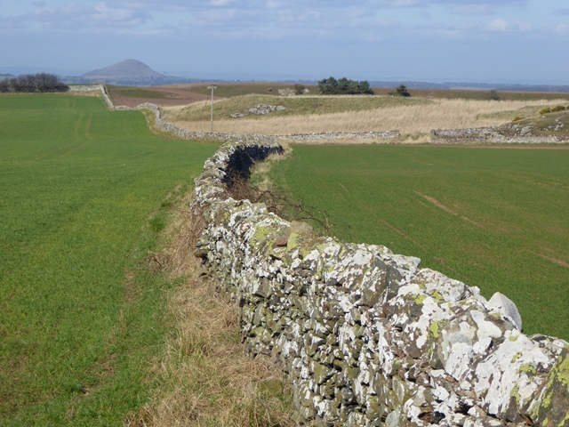
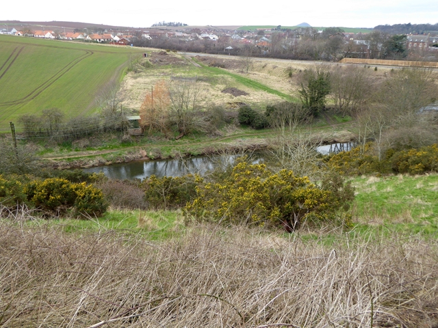
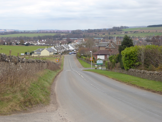
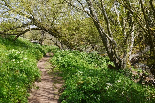
Pencraig Wood is a picturesque forest located in East Lothian, Scotland. Covering an area of approximately 100 hectares, the wood is known for its diverse range of flora and fauna, making it a popular destination for nature enthusiasts and hikers. The wood is predominantly comprised of native tree species such as oak, beech, and birch, creating a lush and vibrant landscape throughout the year.

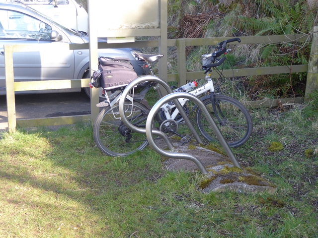
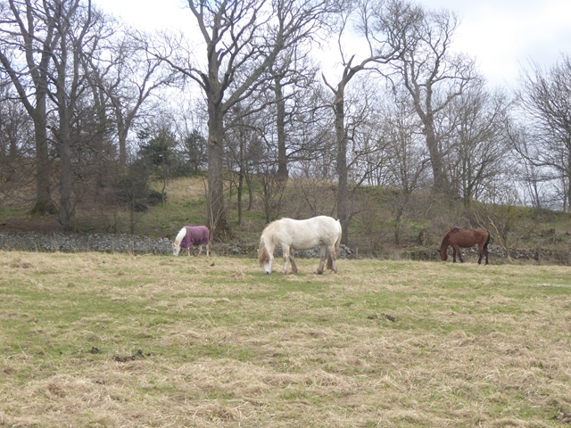
Visitors to Pencraig Wood can expect to encounter a variety of wildlife, including deer, foxes, and a wide array of bird species. The forest is also home to a number of walking trails, allowing visitors to explore the wood at their own pace and enjoy the tranquil surroundings.

Pencraig Wood is managed by the local council, who work to preserve and protect the natural beauty of the forest for future generations to enjoy. With its peaceful atmosphere and stunning scenery, Pencraig Wood is a must-visit destination for anyone looking to escape the hustle and bustle of everyday life and immerse themselves in the beauty of nature.

If you have any feedback on the listing, please let us know in the comments section below.

Pencraig Wood Images

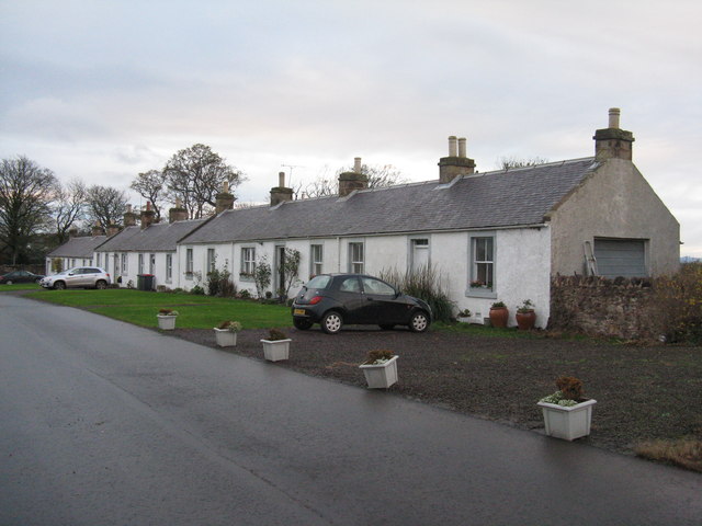
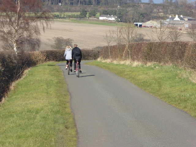
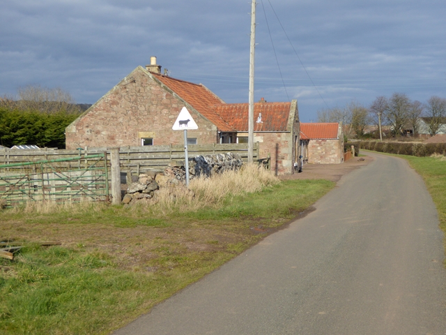
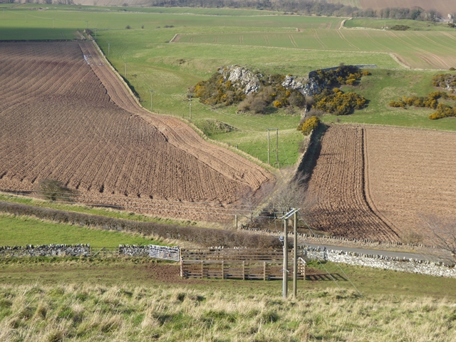
Images are sourced within 2km of 55.980003/-2.6877816 or Grid Reference NT5776. Thanks to Geograph Open Source API. All images are credited.

Winter wheat at Beanston Mains With the large steading across the field.
Winter wheat at Beanston Mains
With the large steading across the field.
Beanston Mains cottages A smart row of farm cottages.
Beanston Mains cottages
A smart row of farm cottages.
Cyclists near Nether Hailes On National Cycle Network route 76 (Round the Forth) which runs from Berwick-upon-Tweed to Edinburgh and beyond. Overhailes Farm <a href="https://www.geograph.org.uk/gridref/NT5776">NT5776</a> can be seen on the far hillside beyond the River Tyne.
Cyclists near Nether Hailes
On National Cycle Network route 76 (Round the Forth) which runs from Berwick-upon-Tweed to Edinburgh and beyond. Overhailes Farm NT5776 can be seen on the far hillside beyond the River Tyne.
Roadside cottages near Nether Hailes Farm
Fields to the north of Traprain Law Seen from the lower slopes of the west end of Traprain Law.
Fields to the north of Traprain Law
Seen from the lower slopes of the west end of Traprain Law.
Hailes Castle Hailes Castle was the fortified hall of the Northumbrian family, the Gourlays. Much of the building survives since 1240. In due course, the hall passed into the hands of another Northumbrian family, the Hepburns. By the 18th century, it was being occupied and used as a farm.
Hailes Castle
Hailes Castle was the fortified hall of the Northumbrian family, the Gourlays. Much of the building survives since 1240. In due course, the hall passed into the hands of another Northumbrian family, the Hepburns. By the 18th century, it was being occupied and used as a farm.
Cycle rack by the car park at Traprain Law With Geograph-ers bike.
Cycle rack by the car park at Traprain Law
With Geograph-ers bike.
View north from Traprain Law A commanding view looking north from the modest summit of Traprain Law. In the foreground, Kippielaw Farmhouse, next the A1 viaduct spanning the River Tyne <a href="https://www.geograph.org.uk/gridref/NT5876">NT5876</a>. Beyond lies the village of East Linton. In the far distance, out to sea, is Bass Rock <a href="https://www.geograph.org.uk/gridref/NT6087">NT6087</a>.
View north from Traprain Law
A commanding view looking north from the modest summit of Traprain Law. In the foreground, Kippielaw Farmhouse, next the A1 viaduct spanning the River Tyne NT5876. Beyond lies the village of East Linton. In the far distance, out to sea, is Bass Rock NT6087.
View north-north-west from Traprain Law A commanding view looking north-north-west from the modest summit of Traprain Law. Hailes Castle <a href="https://www.geograph.org.uk/gridref/NT5676">NT5676</a> in the foreground, with Overhailes beyond. Further away again is the East Fortune Airfield, housing the Museum of Flight <a href="https://www.geograph.org.uk/gridref/NT5578">NT5578</a>. Just out to sea is the island of Fidra <a href="https://www.geograph.org.uk/gridref/NT5186">NT5186</a> with its lighthouse.
View north-north-west from Traprain Law
A commanding view looking north-north-west from the modest summit of Traprain Law. Hailes Castle NT5676 in the foreground, with Overhailes beyond. Further away again is the East Fortune Airfield, housing the Museum of Flight NT5578. Just out to sea is the island of Fidra NT5186 with its lighthouse.
Kippielaw Farm Set in rolling East Lothian countryside. In the distance is North Berwick Law <a href="https://www.geograph.org.uk/gridref/NT5584">NT5584</a> and way over the other side of the Firth of Forth, the coast of Fife.
Kippielaw Farm
Set in rolling East Lothian countryside. In the distance is North Berwick Law NT5584 and way over the other side of the Firth of Forth, the coast of Fife.
Fields and walls near Kippielaw Farm In the middle distance a small rocky outcrop, formerly a quarry. In the distance is North Berwick Law <a href="https://www.geograph.org.uk/gridref/NT5584">NT5584</a>.
Fields and walls near Kippielaw Farm
In the middle distance a small rocky outcrop, formerly a quarry. In the distance is North Berwick Law NT5584.
A1 bridge over the River Tyne The new A1 Expressway was opened in 2004 and replaces the old single carriageway A1 to Dunbar.
A1 bridge over the River Tyne
The new A1 Expressway was opened in 2004 and replaces the old single carriageway A1 to Dunbar.
A1 bridge over the River Tyne The new A1 Expressway was opened in 2004 and replaces the old single carriageway A1 to Dunbar.
A1 bridge over the River Tyne
The new A1 Expressway was opened in 2004 and replaces the old single carriageway A1 to Dunbar.
The River Tyne at East Linton The small structure on the far bank is the Scottish Environment Protection Agency gauging station for East Linton. The village can be seen beyond.
The River Tyne at East Linton
The small structure on the far bank is the Scottish Environment Protection Agency gauging station for East Linton. The village can be seen beyond.
Three horses in paddock Near Woodlaw, East Linton.
Three horses in paddock
Near Woodlaw, East Linton.
Northern approach into East Linton On the B1377 from North Berwick.
Northern approach into East Linton
On the B1377 from North Berwick.
Telecommunication mast on Drylaw Hill
Path beside the Tyne The path between Hailes and East Linton.  There is a fine path beside the river from Haddington to Tyninghame.
Path beside the Tyne
The path between Hailes and East Linton. There is a fine path beside the river from Haddington to Tyninghame.
Show me another place!

Pencraig Wood is located at Grid Ref: NT5776 (Lat: 55.980003, Lng: -2.6877816)

Unitary Authority: East Lothian

Police Authority: The Lothians and Scottish Borders

What 3 Words

///restore.remotest.grape. Near East Linton, East Lothian

Nearby Locations

Pencraig Wood

Related Wikis

Markle Castle

Markle Castle, or Markle is a ruined 14th-century castle, about 0.5 miles (0.80 km) near the hamlet of Markle, north west of East Linton, East Lothian...

Markle, East Lothian

Markle is a hamlet in East Lothian, Scotland, 23 miles (37 km) East of Edinburgh and close to the village of East Linton. It is the site of the former...

East Linton railway station

East Linton railway station is a railway station serving the village of East Linton, Scotland. The original station opened in 1846 and closed in 1964....

Traprain Law

Traprain Law is a hill 6 km (4 mi) east of Haddington, East Lothian, Scotland. It is the site of a hill fort or possibly oppidum, which covered at its...

Nearby Amenities

Located within 500m of 55.980003,-2.6877816
Parking
Lat/Long: 55.9801473/-2.6835775
Toilets
Man Made: water_tap
Lat/Long: 55.9801706/-2.6840373
Bus Stop
Hailes
Naptan AtcoCode: 627009010350
Naptan Bearing: E
Naptan BusStopType: CUS
Naptan CommonName: Hailes
Naptan Indicator: opposite Overhailes
Naptan NaptanCode: 58234878
Naptan Street: A199
Naptan Verified: no
Operator: https://bustimes.org/services/x7-edinburgh-dunbar
Shelter: yes
Source: naptan_import
Lat/Long: 55.9785277/-2.6921791
Tourism: picnic_site
Lat/Long: 55.9802267/-2.6844285
Power: pole
Lat/Long: 55.9799439/-2.6952794
Power: pole
Lat/Long: 55.9798403/-2.6937827
Power: pole
Lat/Long: 55.9798238/-2.6923209
Power: pole
Lat/Long: 55.9799319/-2.6909021
Power: pole
Lat/Long: 55.9800354/-2.6894644
Power: pole
Lat/Long: 55.9801554/-2.688134
Power: pole
Lat/Long: 55.9802695/-2.6865435
Power: pole
Lat/Long: 55.9803835/-2.6851434
Power: pole
Lat/Long: 55.9805696/-2.6839149
Power: pole
Lat/Long: 55.9807917/-2.6825577
Power: pole
Lat/Long: 55.9812539/-2.6814097
Power: pole
Lat/Long: 55.9770005/-2.6869251
Bench: yes
Colour: brown
Leisure: picnic_table
Level: 1
Lit: no
Material: wood
Lat/Long: 55.9800189/-2.6848279
Colour: brown
Leisure: picnic_table
Level: 1
Lit: no
Material: wood
Lat/Long: 55.9800698/-2.6848083
Direction: 29
Level: 2
Tourism: viewpoint
Lat/Long: 55.9802385/-2.6849348
Bench: yes
Colour: brown
Leisure: picnic_table
Level: 1
Lit: no
Material: wood
Lat/Long: 55.9800049/-2.6870065
The data included in this document is from www.openstreetmap.org. The data is made available under ODbL.

Have you been to Pencraig Wood?

Leave your review of Pencraig Wood below (or comments, questions and feedback).