Woodcock Wood
Wood, Forest in Angus
Scotland
Woodcock Wood
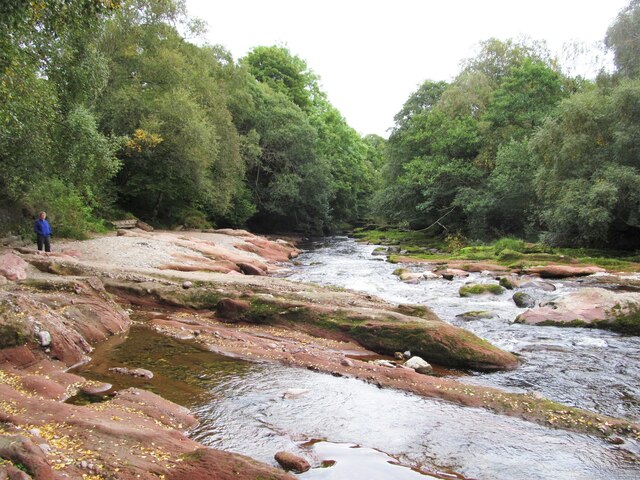
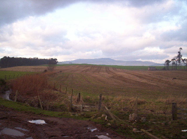
Woodcock Wood, Angus (also known as Wood, Forest) is a sprawling woodland area located in the county of Angus, Scotland. Covering an approximate area of 500 acres, it is one of the largest forests in the region.
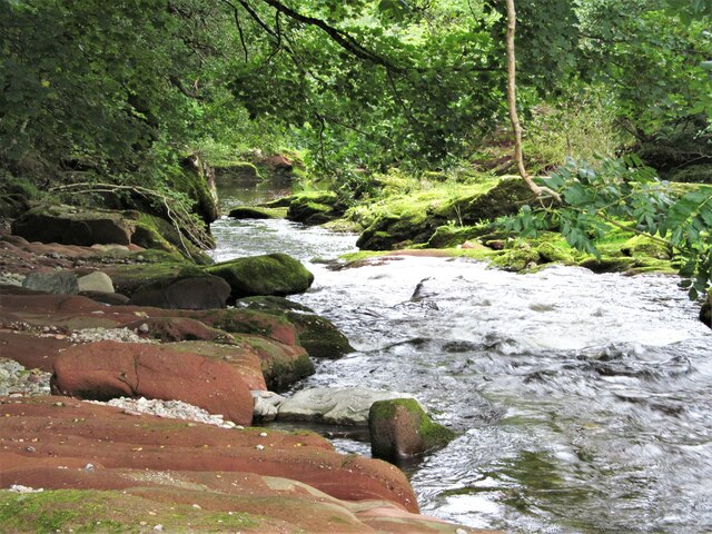
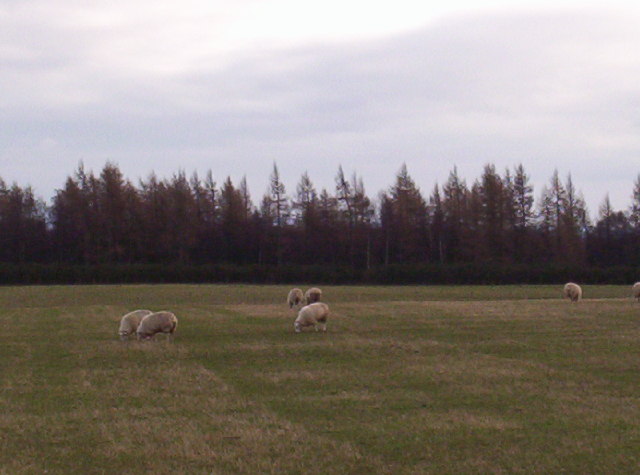
The landscape of Woodcock Wood is characterized by a mix of mature deciduous and coniferous trees, creating a diverse and rich ecosystem. The forest is home to a wide variety of plant and animal species, making it an important habitat for wildlife conservation. Common tree species found in the woodland include oak, birch, beech, and pine, among others.
The forest offers a range of recreational activities for visitors to enjoy. There are several well-marked walking trails, varying in length and difficulty, which allow visitors to explore the beauty of the woodland at their own pace. These trails provide opportunities for birdwatching, photography, and nature observation.
Woodcock Wood is also a popular destination for outdoor enthusiasts who enjoy camping and picnicking. The forest has designated camping areas equipped with basic facilities, allowing visitors to spend a night under the stars surrounded by the tranquil beauty of nature.
Additionally, the forest is managed by local authorities who ensure the preservation and maintenance of its natural resources. Regular tree planting and conservation efforts are carried out to sustain the forest's ecosystem and promote sustainable forestry practices.
In conclusion, Woodcock Wood, Angus (Wood, Forest) is a picturesque woodland area in Scotland that offers a wide range of recreational activities and serves as a vital habitat for diverse plant and animal species.
If you have any feedback on the listing, please let us know in the comments section below.
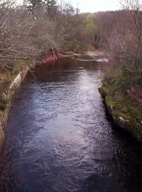
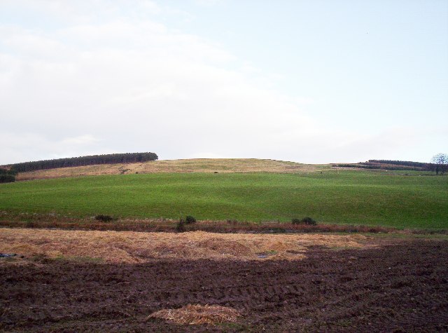
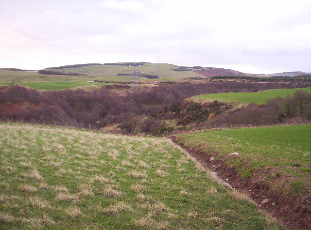
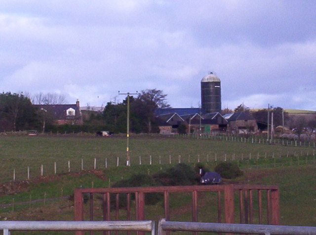
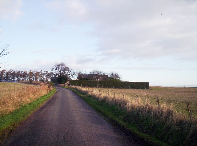
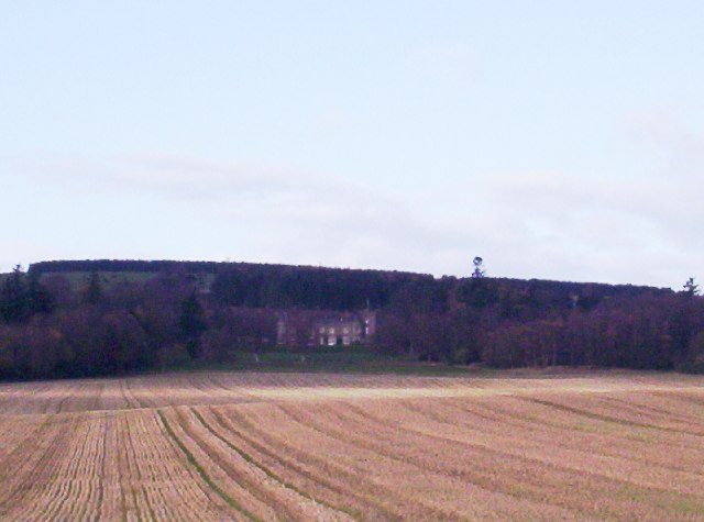
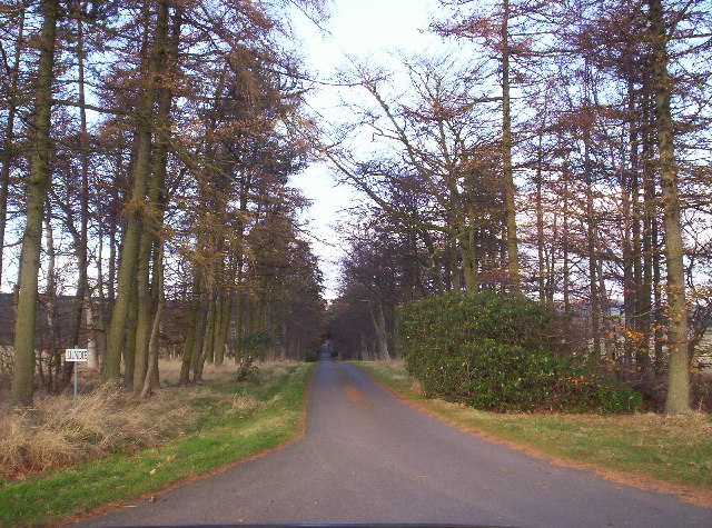
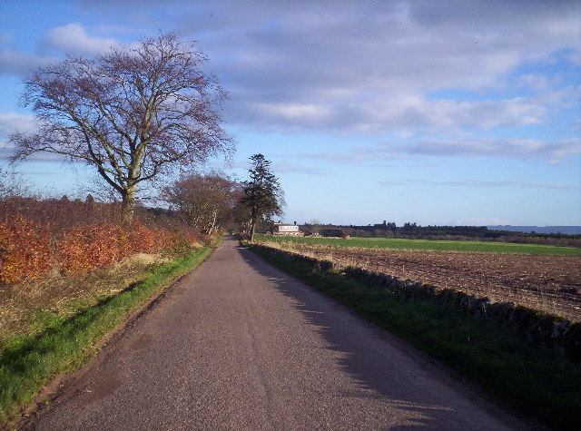
Woodcock Wood Images
Images are sourced within 2km of 56.798592/-2.7028162 or Grid Reference NO5767. Thanks to Geograph Open Source API. All images are credited.
Woodcock Wood is located at Grid Ref: NO5767 (Lat: 56.798592, Lng: -2.7028162)
Unitary Authority: Angus
Police Authority: Tayside
What 3 Words
///rollover.excusing.retail. Near Brechin, Angus
Nearby Locations
Related Wikis

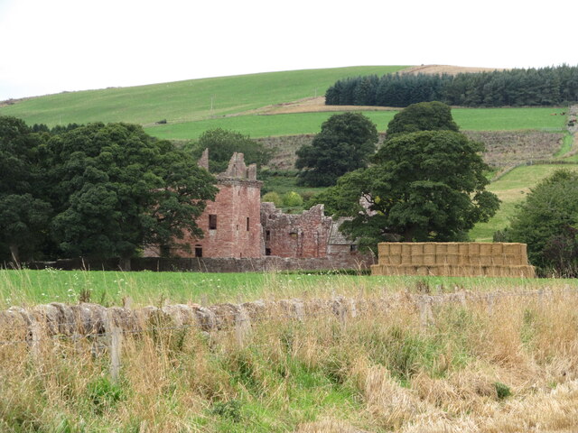
Edzell Castle
Edzell Castle is a ruined 16th-century castle, with an early-17th-century walled garden. It is located close to Edzell, and is around 5 miles (8 km) north...

Caterthun
Caterthun, or the Caterthuns, is a ridge of hills near the city of Brechin in Angus, Scotland. The Caterthuns are notable for being the site of two Iron...

Edzell railway station
Edzell railway station served the village of Edzell, Angus, Scotland from 1896 to 1964 on the Brechin and Edzell District Railway. == History == The station...

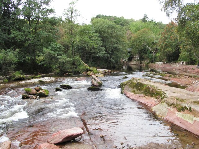
Edzell
Edzell (; Scots: Aigle; Scottish Gaelic: Eigill) is a village in Angus, Scotland. It is 5 miles (8 km) north of Brechin, by the River North Esk. Edzell...
Nearby Amenities
Located within 500m of 56.798592,-2.7028162Have you been to Woodcock Wood?
Leave your review of Woodcock Wood below (or comments, questions and feedback).