Bogleburn Strip

Wood, Forest in Roxburghshire

Scotland

Bogleburn Strip

Barley field below the Eildon Hills, Melrose A field on The Annay beside the Tweed with Eildon Hill North (L) and Mid Hill (R). The houses are on the eastern fringe of Melrose.
Barley field below the Eildon Hills, Melrose Credit: Jim Barton

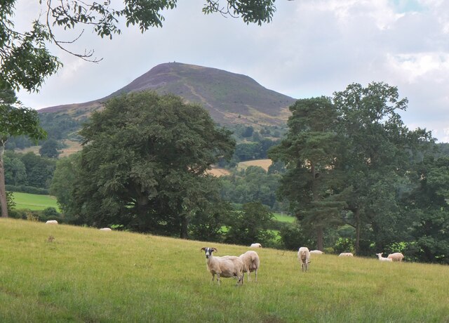
Bogleburn Strip is a charming and picturesque woodland area located in Roxburghshire, Scotland. Nestled in the heart of the countryside, it offers a serene and tranquil environment for nature lovers and outdoor enthusiasts alike.

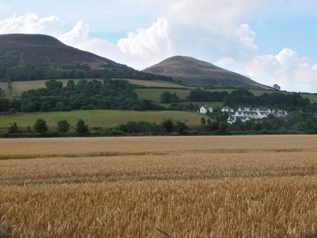
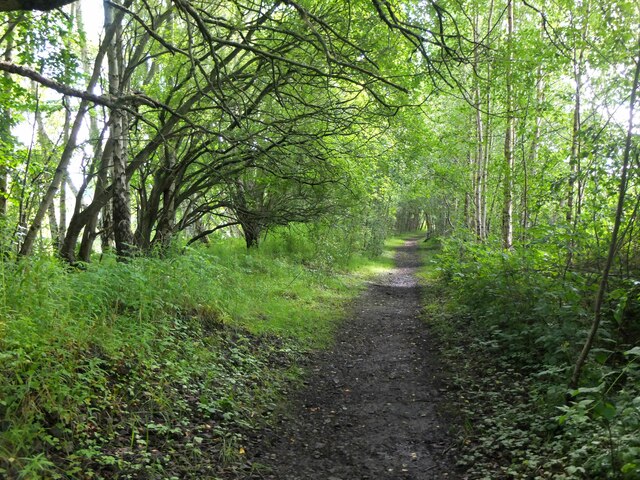
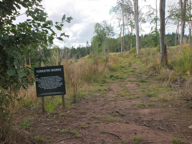
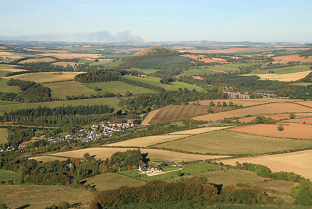
Covering an expansive area, Bogleburn Strip is home to a diverse range of trees, including oak, beech, and pine, creating a rich and vibrant forest ecosystem. The woodland is characterized by its dense canopy, which provides shelter for a variety of wildlife species. The forest floor is adorned with a plethora of wildflowers and mosses, adding to the enchanting atmosphere.

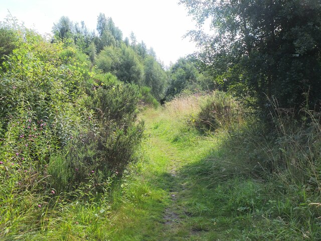
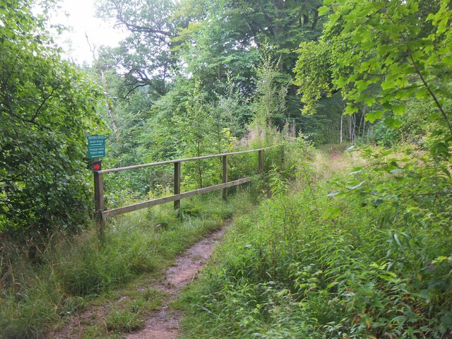
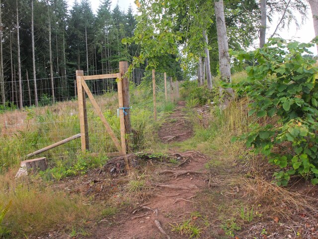
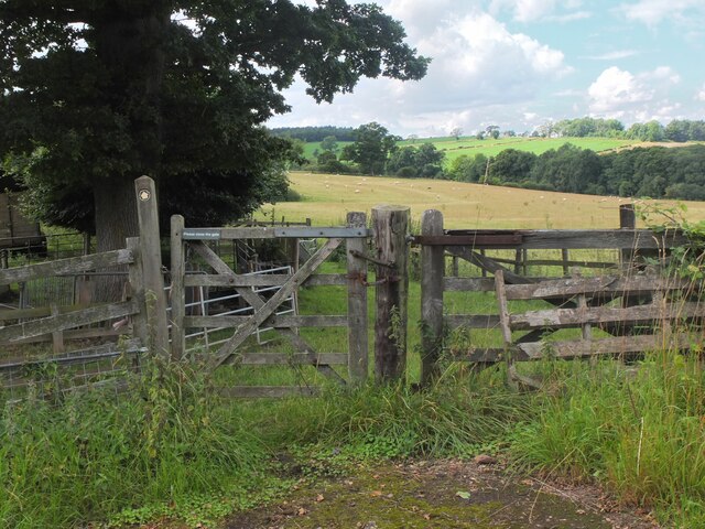
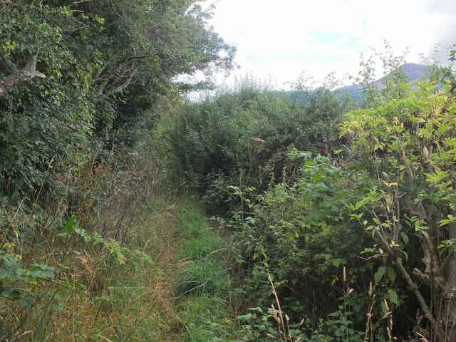
Visitors to Bogleburn Strip can explore the forest through a network of well-maintained walking trails. These trails wind their way through the trees, offering glimpses of wildlife and opportunities for birdwatching. The peaceful ambiance of the woodland makes it an ideal spot for a leisurely stroll or a family picnic.

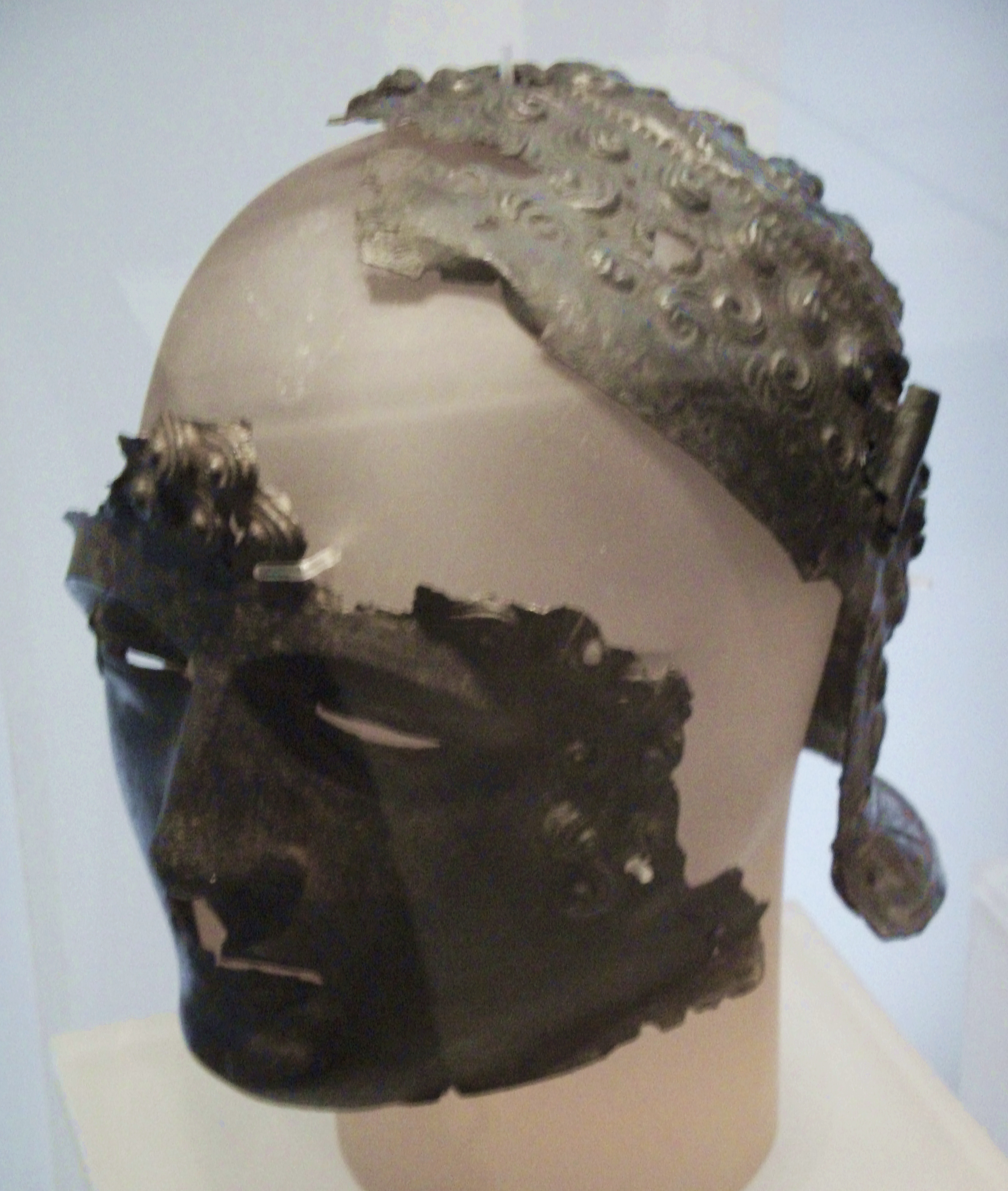
The forest also holds historical significance, with remnants of an ancient settlement dating back to the Iron Age discovered within its boundaries. These archaeological remains provide a fascinating glimpse into the area's past and offer a unique experience for history enthusiasts.

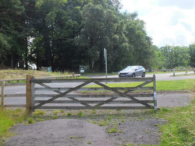
Bogleburn Strip is easily accessible, with ample parking available nearby. The forest is open to the public year-round, allowing visitors to experience the changing seasons and marvel at the beauty of nature in every month. Whether you seek solace in the tranquility of the woodland or wish to immerse yourself in the rich history of the area, Bogleburn Strip is a must-visit destination for nature enthusiasts and history buffs alike.

If you have any feedback on the listing, please let us know in the comments section below.

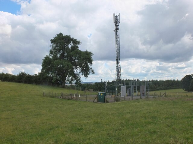
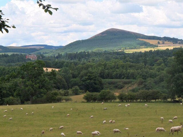
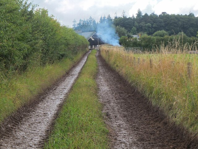
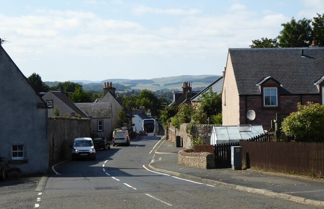
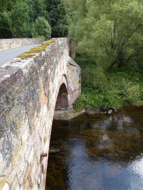
Bogleburn Strip Images

Images are sourced within 2km of 55.590337/-2.6883421 or Grid Reference NT5633. Thanks to Geograph Open Source API. All images are credited.

Barley field below the Eildon Hills, Melrose A field on The Annay beside the Tweed with Eildon Hill North (L) and Mid Hill (R). The houses are on the eastern fringe of Melrose.
Barley field below the Eildon Hills, Melrose
A field on The Annay beside the Tweed with Eildon Hill North (L) and Mid Hill (R). The houses are on the eastern fringe of Melrose.
Yesterday's rain, River Tweed Very heavy showers yesterday have increased the flow and coloured the water with suspended mud, here in a narrowing of the river near Newstead.
Yesterday's rain, River Tweed
Very heavy showers yesterday have increased the flow and coloured the water with suspended mud, here in a narrowing of the river near Newstead.
Main Street, Newstead A village close to the Trimontium Roman site east of Melrose.
Main Street, Newstead
A village close to the Trimontium Roman site east of Melrose.
Tractor laying a pipe The tractor was reversing around the field, unreeling a hosepipe from a drum held at the front, a skilled piece of driving. Presumably the pipe is for irrigation.
Tractor laying a pipe
The tractor was reversing around the field, unreeling a hosepipe from a drum held at the front, a skilled piece of driving. Presumably the pipe is for irrigation.
Former Waverley Line near Broomhill The line from Melrose to Hawick, somewhere near the junction with the former Berwickshire railway route from the Leaderfoot Viaduct. Now it is simply a slightly overgrown footpath signposted 'Old Melrose', leading to the A68 in a few hundred metres.
Former Waverley Line near Broomhill
The line from Melrose to Hawick, somewhere near the junction with the former Berwickshire railway route from the Leaderfoot Viaduct. Now it is simply a slightly overgrown footpath signposted 'Old Melrose', leading to the A68 in a few hundred metres.
Former Waverley Line near Broomhill (2) The line a little further along; from here the next station was Newtown St Boswells. See also Walter Baxter's photograph <a href="https://www.geograph.org.uk/photo/588559">NT5733 : Dismantled railway line</a> taken in 2007.
Former Waverley Line near Broomhill (2)
The line a little further along; from here the next station was Newtown St Boswells. See also Walter Baxter's photograph NT5733 : Dismantled railway line taken in 2007.
Former Waverley Line and A68 road Here the A68 cuts across the former railway route to Hawick and Carlisle. Across the road is the entrance to Old Melrose and the tearoom at the former Ravenswood dairy.
Former Waverley Line and A68 road
Here the A68 cuts across the former railway route to Hawick and Carlisle. Across the road is the entrance to Old Melrose and the tearoom at the former Ravenswood dairy.
Monks Trail, Old Melrose The name recalls the monastery established here in the 7th century, where St Cuthbert became the Prior before travelling to Lindisfarne. The path keeps above the River Tweed on its west bank before returning to the tearoom by a field edge path.
Monks Trail, Old Melrose
The name recalls the monastery established here in the 7th century, where St Cuthbert became the Prior before travelling to Lindisfarne. The path keeps above the River Tweed on its west bank before returning to the tearoom by a field edge path.
Path in felled woodland, Old Melrose The notice informs that the area is to be replanted and new paths and ponds with views to the Tweed will be constructed.
Path in felled woodland, Old Melrose
The notice informs that the area is to be replanted and new paths and ponds with views to the Tweed will be constructed.
Path by plantation edge, Old Melrose The Monks Trail in the Ravenswood Estate.
Path by plantation edge, Old Melrose
The Monks Trail in the Ravenswood Estate.
Path to Eildon village A gate near the A68 for a path signposted to Eildon; it follows a field edge towards a mobile phone mast, then to Eildon Mains farm.
Path to Eildon village
A gate near the A68 for a path signposted to Eildon; it follows a field edge towards a mobile phone mast, then to Eildon Mains farm.
Sheep near Eildon In the background is the steep-sided Eildon Hill North.
Sheep near Eildon
In the background is the steep-sided Eildon Hill North.
Phone mast near Eildon In farmland west of the A68.
Phone mast near Eildon
In farmland west of the A68.
Sheep and Black Hill Sheep grazing in a pasture near Eildon with Black Hill (314m) beyond. Like the nearby Eildon Hills, this is of volcanic origin.
Sheep and Black Hill
Sheep grazing in a pasture near Eildon with Black Hill (314m) beyond. Like the nearby Eildon Hills, this is of volcanic origin.
Path to Eildon village - just! A heavily overgrown stretch of path near Eildon. Overhanging nettles and brambles would make this a severe test for anyone misguided enough to be wearing shorts.
Path to Eildon village - just!
A heavily overgrown stretch of path near Eildon. Overhanging nettles and brambles would make this a severe test for anyone misguided enough to be wearing shorts.
Track to Eildon Mains The track meets the old road near Eildon village.
Track to Eildon Mains
The track meets the old road near Eildon village.
Main Street, Newstead A bus is having difficulty negotiating the narrow road!
Main Street, Newstead
A bus is having difficulty negotiating the narrow road!
Bridge over Leader Water The river is soon to join the River Tweed.
Bridge over Leader Water
The river is soon to join the River Tweed.
Show me another place!

Bogleburn Strip is located at Grid Ref: NT5633 (Lat: 55.590337, Lng: -2.6883421)

Unitary Authority: The Scottish Borders

Police Authority: The Lothians and Scottish Borders

What 3 Words

///preoccupied.suspends.octagonal. Near Newtown St Boswells, Scottish Borders

Related Wikis

Nearby Amenities

Located within 500m of 55.590337,-2.6883421
Rhymer's Stone
Historic: monument
Lat/Long: 55.5939615/-2.6913911
Eildon Mains
Place: isolated_dwelling
Lat/Long: 55.5884629/-2.6840729
Power: pole
Lat/Long: 55.5894432/-2.6810181
Power: pole
Lat/Long: 55.5899722/-2.6819006
Power: pole
Lat/Long: 55.5909134/-2.683467
Power: pole
Lat/Long: 55.591594/-2.684615
Power: pole
Lat/Long: 55.5920229/-2.6856154
Power: pole
Lat/Long: 55.5924367/-2.6865703
Power: pole
Lat/Long: 55.5928611/-2.6875815
Power: pole
Lat/Long: 55.5932718/-2.6885846
Power: pole
Lat/Long: 55.5936916/-2.6896226
Power: pole
Lat/Long: 55.5941403/-2.6906768
Power: pole
Lat/Long: 55.5881327/-2.6825919
Power: pole
Lat/Long: 55.5904957/-2.6827718
The data included in this document is from www.openstreetmap.org. The data is made available under ODbL.

Have you been to Bogleburn Strip?

Leave your review of Bogleburn Strip below (or comments, questions and feedback).