Eildontree Plantation

Wood, Forest in Roxburghshire

Scotland

Eildontree Plantation

Barley field below the Eildon Hills, Melrose A field on The Annay beside the Tweed with Eildon Hill North (L) and Mid Hill (R). The houses are on the eastern fringe of Melrose.
Barley field below the Eildon Hills, Melrose Credit: Jim Barton

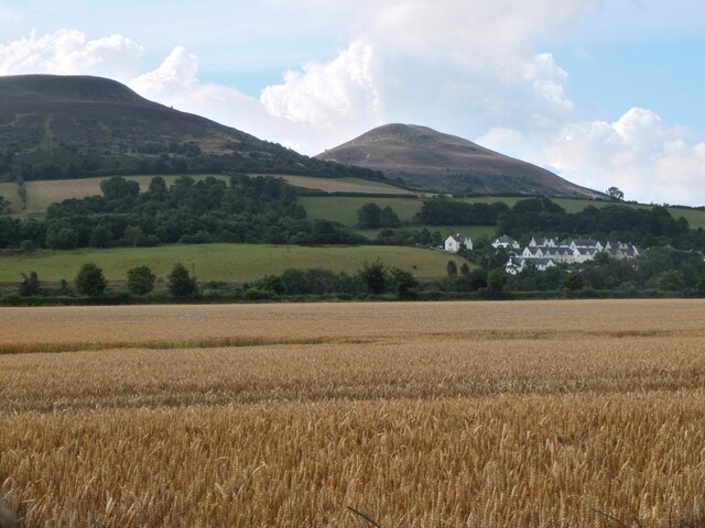
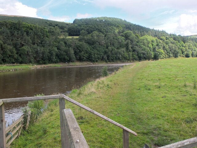
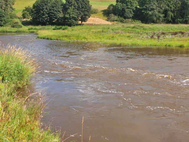
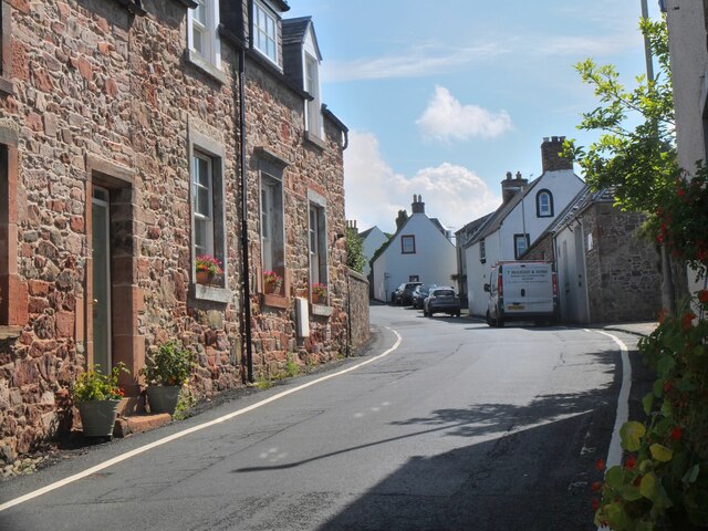
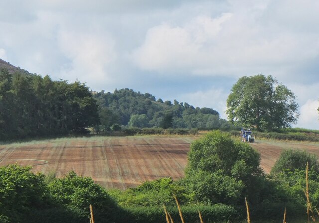
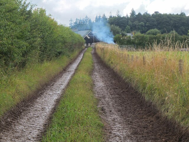
Eildontree Plantation is a picturesque woodland located in the region of Roxburghshire, Scotland. Spanning over a vast area, this plantation is renowned for its natural beauty and diverse range of flora and fauna. The plantation is situated near the town of Melrose and offers visitors a tranquil escape into nature.

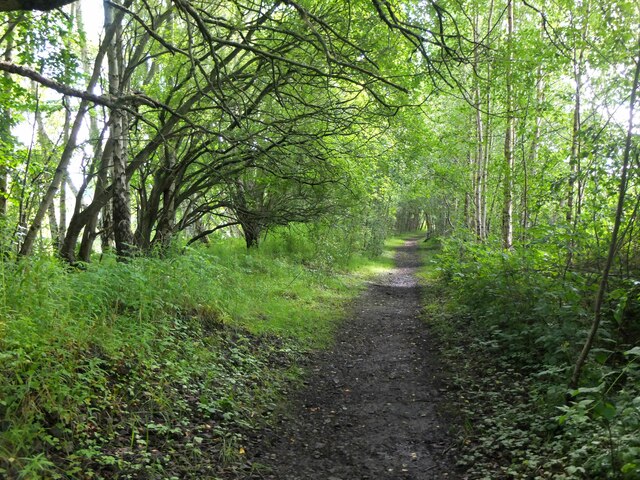
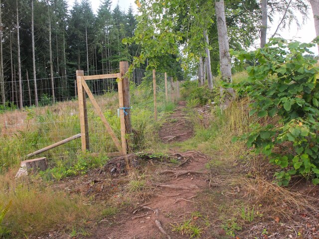
The woodland is predominantly composed of a variety of tree species, including oak, beech, and pine. These trees create a dense canopy that provides shade and shelter for an array of wildlife. The plantation is home to numerous bird species, such as woodpeckers, owls, and thrushes, making it a popular destination for birdwatching enthusiasts.

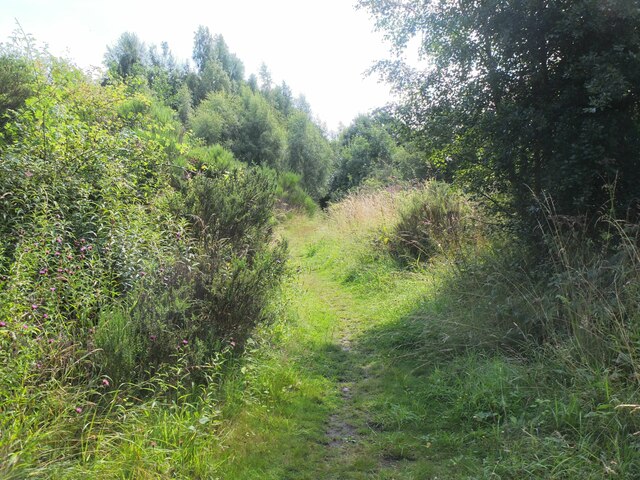
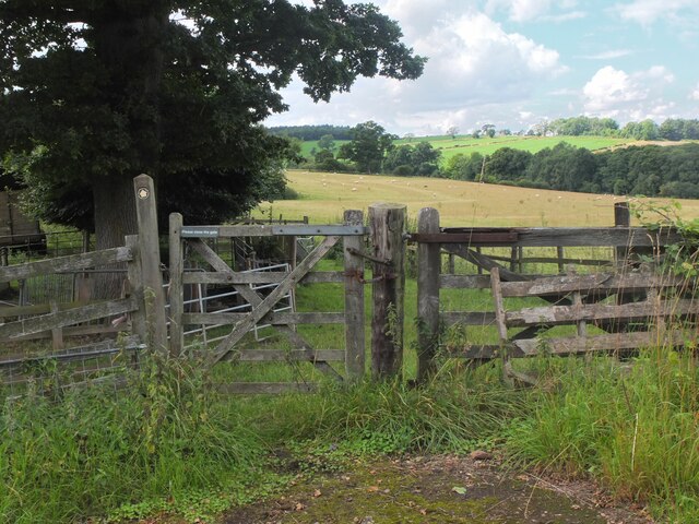
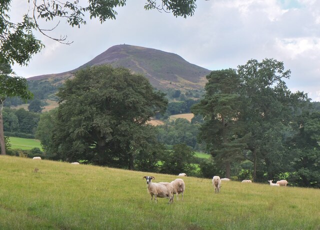
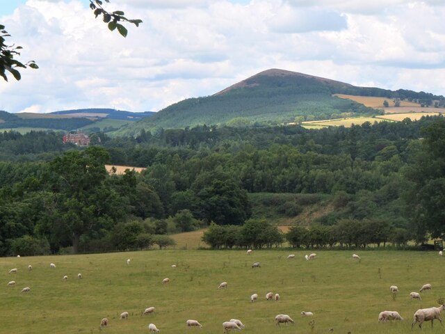
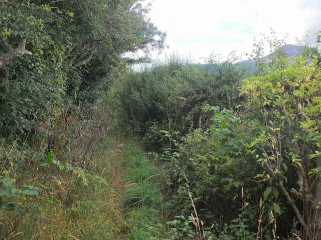
Eildontree Plantation also boasts a network of well-maintained walking trails, allowing visitors to explore the woodland at their own pace. These trails offer stunning views of the surrounding countryside and the iconic Eildon Hills, which dominate the horizon. The plantation is particularly popular during the autumn months when the leaves turn vibrant shades of red, orange, and gold, creating a breathtaking spectacle.

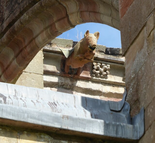
In addition to its natural beauty, Eildontree Plantation holds historical significance. The woodland is believed to have been part of a larger estate owned by the nearby Melrose Abbey during the medieval period. Remnants of old stone walls and structures can still be seen, adding a touch of intrigue to the plantation's charm.

Overall, Eildontree Plantation is a haven for nature lovers and those seeking a peaceful retreat. With its enchanting woodlands, abundant wildlife, and captivating scenery, it offers a truly memorable experience for all who visit.

If you have any feedback on the listing, please let us know in the comments section below.

Eildontree Plantation Images

Images are sourced within 2km of 55.591963/-2.6932418 or Grid Reference NT5633. Thanks to Geograph Open Source API. All images are credited.

Barley field below the Eildon Hills, Melrose A field on The Annay beside the Tweed with Eildon Hill North (L) and Mid Hill (R). The houses are on the eastern fringe of Melrose.
Barley field below the Eildon Hills, Melrose
A field on The Annay beside the Tweed with Eildon Hill North (L) and Mid Hill (R). The houses are on the eastern fringe of Melrose.
The Tweed east of Melrose The Tweed seen from an elevated stile on the riverside path to Newstead.
The Tweed east of Melrose
The Tweed seen from an elevated stile on the riverside path to Newstead.
Yesterday's rain, River Tweed Very heavy showers yesterday have increased the flow and coloured the water with suspended mud, here in a narrowing of the river near Newstead.
Yesterday's rain, River Tweed
Very heavy showers yesterday have increased the flow and coloured the water with suspended mud, here in a narrowing of the river near Newstead.
Main Street, Newstead A village close to the Trimontium Roman site east of Melrose.
Main Street, Newstead
A village close to the Trimontium Roman site east of Melrose.
Tractor laying a pipe The tractor was reversing around the field, unreeling a hosepipe from a drum held at the front, a skilled piece of driving. Presumably the pipe is for irrigation.
Tractor laying a pipe
The tractor was reversing around the field, unreeling a hosepipe from a drum held at the front, a skilled piece of driving. Presumably the pipe is for irrigation.
Former Waverley Line near Broomhill The line from Melrose to Hawick, somewhere near the junction with the former Berwickshire railway route from the Leaderfoot Viaduct. Now it is simply a slightly overgrown footpath signposted 'Old Melrose', leading to the A68 in a few hundred metres.
Former Waverley Line near Broomhill
The line from Melrose to Hawick, somewhere near the junction with the former Berwickshire railway route from the Leaderfoot Viaduct. Now it is simply a slightly overgrown footpath signposted 'Old Melrose', leading to the A68 in a few hundred metres.
Former Waverley Line near Broomhill (2) The line a little further along; from here the next station was Newtown St Boswells. See also Walter Baxter's photograph <a href="https://www.geograph.org.uk/photo/588559">NT5733 : Dismantled railway line</a> taken in 2007.
Former Waverley Line near Broomhill (2)
The line a little further along; from here the next station was Newtown St Boswells. See also Walter Baxter's photograph NT5733 : Dismantled railway line taken in 2007.
Former Waverley Line and A68 road Here the A68 cuts across the former railway route to Hawick and Carlisle. Across the road is the entrance to Old Melrose and the tearoom at the former Ravenswood dairy.
Former Waverley Line and A68 road
Here the A68 cuts across the former railway route to Hawick and Carlisle. Across the road is the entrance to Old Melrose and the tearoom at the former Ravenswood dairy.
Path by plantation edge, Old Melrose The Monks Trail in the Ravenswood Estate.
Path by plantation edge, Old Melrose
The Monks Trail in the Ravenswood Estate.
Path to Eildon village A gate near the A68 for a path signposted to Eildon; it follows a field edge towards a mobile phone mast, then to Eildon Mains farm.
Path to Eildon village
A gate near the A68 for a path signposted to Eildon; it follows a field edge towards a mobile phone mast, then to Eildon Mains farm.
Sheep near Eildon In the background is the steep-sided Eildon Hill North.
Sheep near Eildon
In the background is the steep-sided Eildon Hill North.
Phone mast near Eildon In farmland west of the A68.
Phone mast near Eildon
In farmland west of the A68.
Sheep and Black Hill Sheep grazing in a pasture near Eildon with Black Hill (314m) beyond. Like the nearby Eildon Hills, this is of volcanic origin.
Sheep and Black Hill
Sheep grazing in a pasture near Eildon with Black Hill (314m) beyond. Like the nearby Eildon Hills, this is of volcanic origin.
Path to Eildon village - just! A heavily overgrown stretch of path near Eildon. Overhanging nettles and brambles would make this a severe test for anyone misguided enough to be wearing shorts.
Path to Eildon village - just!
A heavily overgrown stretch of path near Eildon. Overhanging nettles and brambles would make this a severe test for anyone misguided enough to be wearing shorts.
Track to Eildon Mains The track meets the old road near Eildon village.
Track to Eildon Mains
The track meets the old road near Eildon village.
Melrose Abbey Pig playing a bagpipe, as a gargoyle, viewed under a flying buttress.
Melrose Abbey
Pig playing a bagpipe, as a gargoyle, viewed under a flying buttress.
Main Street, Newstead A bus is having difficulty negotiating the narrow road!
Main Street, Newstead
A bus is having difficulty negotiating the narrow road!
Bridge over Leader Water The river is soon to join the River Tweed.
Bridge over Leader Water
The river is soon to join the River Tweed.
Show me another place!

Eildontree Plantation is located at Grid Ref: NT5633 (Lat: 55.591963, Lng: -2.6932418)

Unitary Authority: The Scottish Borders

Police Authority: The Lothians and Scottish Borders

What 3 Words

///awakening.roving.fidgeted. Near Newtown St Boswells, Scottish Borders

Related Wikis

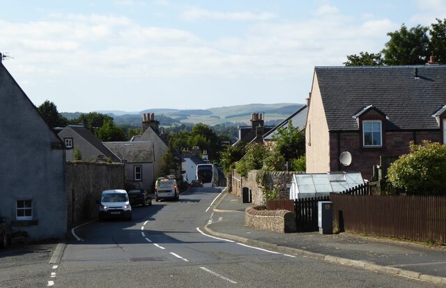
Newstead, Scottish Borders

Newstead is a village in the Scottish Borders, about 1+1⁄4 miles (2 kilometres) east of Melrose. It has a population of approximately 260, according to...

Newstead railway station (Scotland)

Newstead railway station or Bradshaw railway station, as it was referred to in early editions of the timetable, served the village of Newstead, Melrose...

Eildon Hall (Scottish Borders)

Eildon Hall, near St Boswells, Roxburghshire, is one of the houses belonging to the Dukes of Buccleuch and Queensbury. It is located at the foot of Eildon...

Eildon

Eildon is the largest committee area of the Scottish Borders Council, with a population of 34,892 at the census in 2001. It also contains the three Eildon...

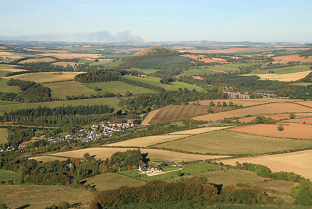
Trimontium (Newstead)

Trimontium was a Roman fort complex in Scotland. It is located at Newstead, near Melrose, in the Scottish Borders, in view of the three Eildon Hills which...
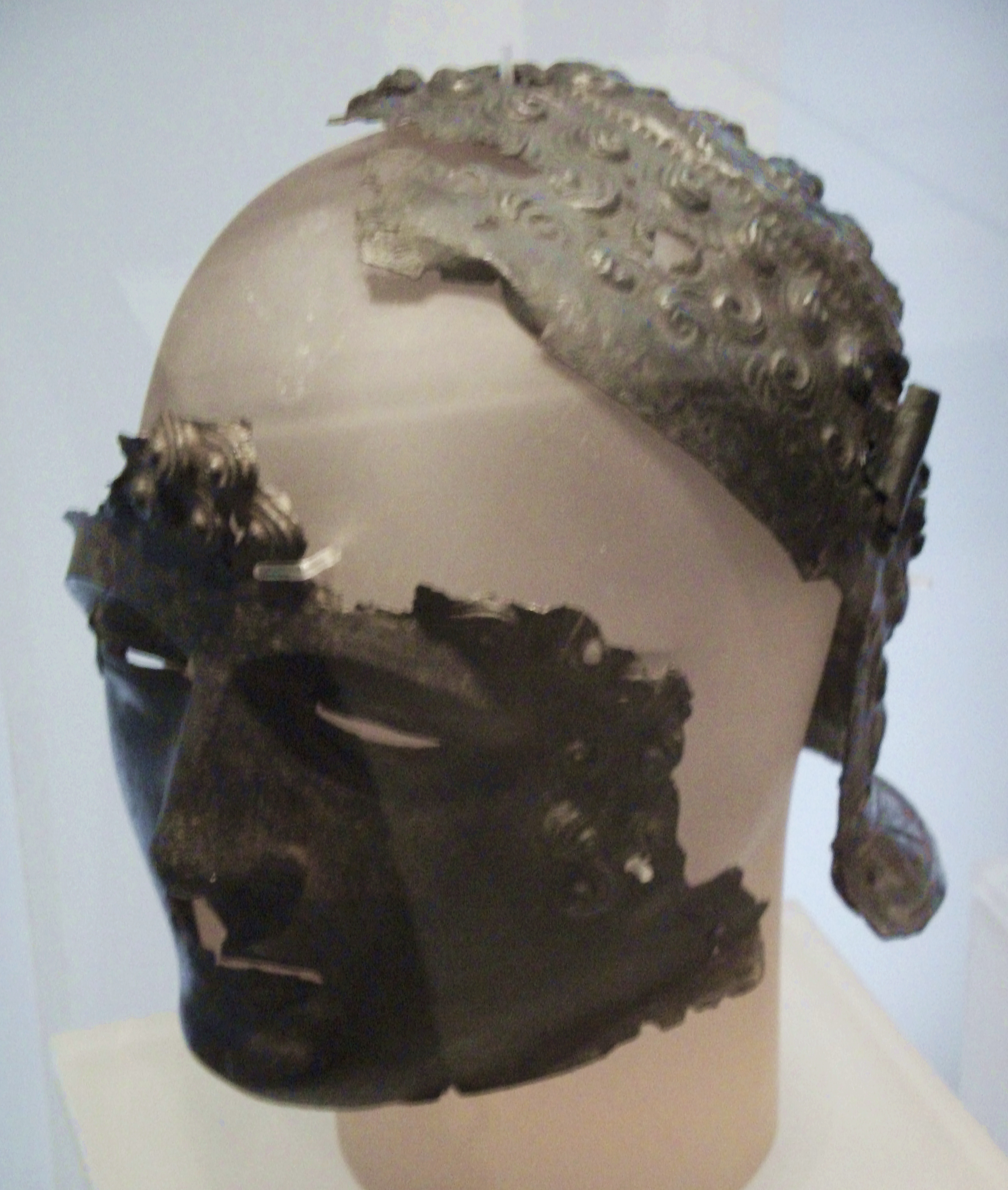
Newstead Helmet

The Newstead Helmet is an iron Roman cavalry helmet dating to 80–100 AD that was discovered at the site of a Roman fort in Newstead, near Melrose in Roxburghshire...
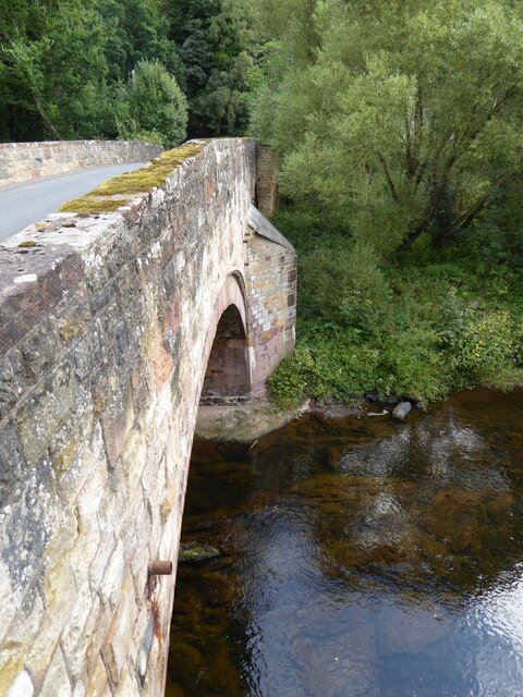
Leaderfoot Viaduct

The Leaderfoot Viaduct, also known as the Drygrange Viaduct, is a railway viaduct over the River Tweed near Melrose in the Scottish Borders. == History... ==

Melrose Abbey

St Mary's Abbey, Melrose is a partly ruined monastery of the Cistercian order in Melrose, Roxburghshire, in the Scottish Borders. It was founded in 1136...

Nearby Amenities

Located within 500m of 55.591963,-2.6932418
Rhymer's Stone
Historic: monument
Lat/Long: 55.5939615/-2.6913911
Power: pole
Lat/Long: 55.5920229/-2.6856154
Power: pole
Lat/Long: 55.5924367/-2.6865703
Power: pole
Lat/Long: 55.5928611/-2.6875815
Power: pole
Lat/Long: 55.5932718/-2.6885846
Power: pole
Lat/Long: 55.5936916/-2.6896226
Power: pole
Lat/Long: 55.5941403/-2.6906768
Power: pole
Lat/Long: 55.5944737/-2.691924
Power: pole
Lat/Long: 55.5948026/-2.6931524
Power: pole
Lat/Long: 55.5951239/-2.6943272
Material: wood
Power: pole
Lat/Long: 55.594842/-2.6957998
Barrier: kissing_gate
Foot: yes
Lat/Long: 55.5913299/-2.6962484
Power: pole
Lat/Long: 55.594357/-2.6980662
Power: pole
Lat/Long: 55.5941251/-2.699528
The data included in this document is from www.openstreetmap.org. The data is made available under ODbL.

Have you been to Eildontree Plantation?

Leave your review of Eildontree Plantation below (or comments, questions and feedback).