West Wood

Wood, Forest in Angus

Scotland

West Wood

Towards Brown Caterthun The view from the lower heather clad slopes of White Caterthun towards its twin. Some rather windblown conifers on the hillside.
Towards Brown Caterthun Credit: Gordon Hatton

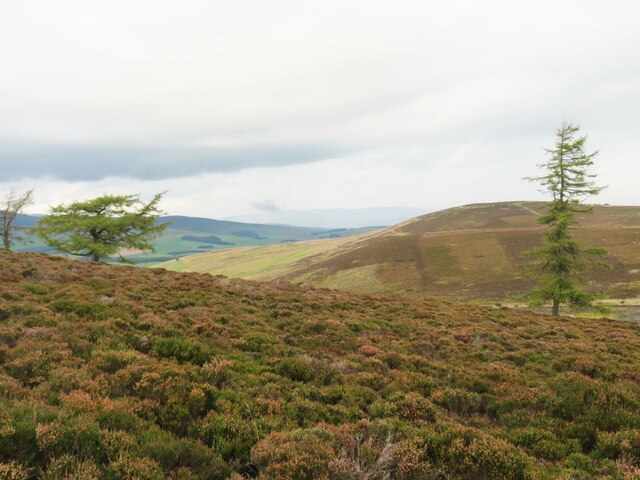
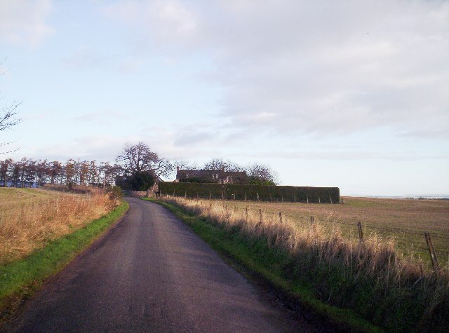
West Wood is a picturesque forest located in Angus, Scotland. Covering an area of approximately 100 hectares, it is a remarkable example of the region's natural beauty. The wood is primarily composed of native trees such as oak, birch, and beech, creating a diverse and vibrant ecosystem.

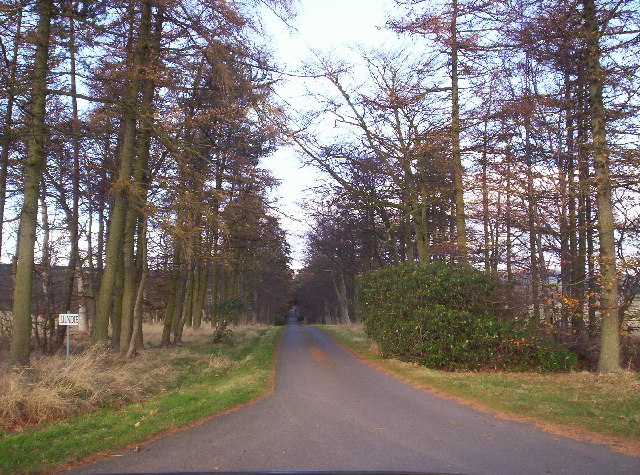
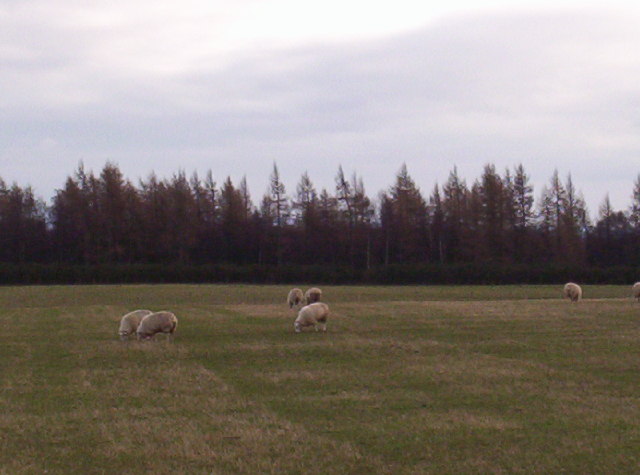
The forest boasts a network of well-maintained walking trails, making it a popular destination for hikers and nature enthusiasts. These trails wind through the dense woodland, offering visitors the opportunity to immerse themselves in the tranquility of nature. Along the paths, one can encounter an array of wildlife, including deer, foxes, and various bird species, adding to the enchanting atmosphere of the wood.

West Wood also features a small lake, providing a serene spot for visitors to relax and enjoy the surroundings. The lake is home to various aquatic plants and attracts a variety of waterfowl, further enhancing the natural beauty of the area.

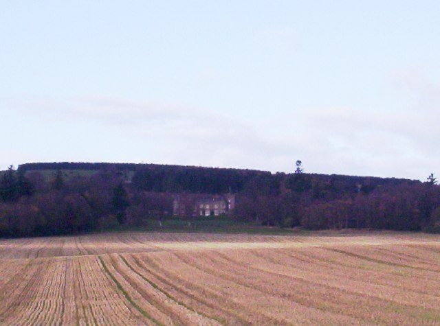
In addition to its natural allure, the wood has historical significance. It is believed that the forest has been in existence for centuries, serving as a valuable resource for local communities throughout history. Today, efforts are being made to preserve and protect the woodland, ensuring its continued importance for future generations.

Overall, West Wood in Angus is a captivating destination for those seeking a peaceful retreat in the heart of nature. Its diverse flora and fauna, well-maintained trails, and historical value make it a must-visit location for anyone exploring the beauty of Scotland's countryside.

If you have any feedback on the listing, please let us know in the comments section below.
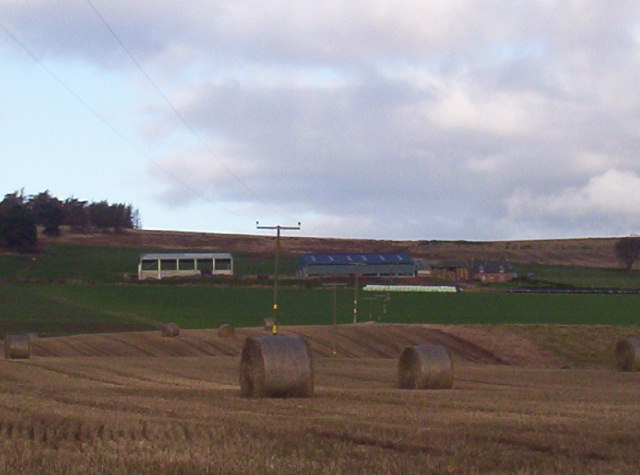
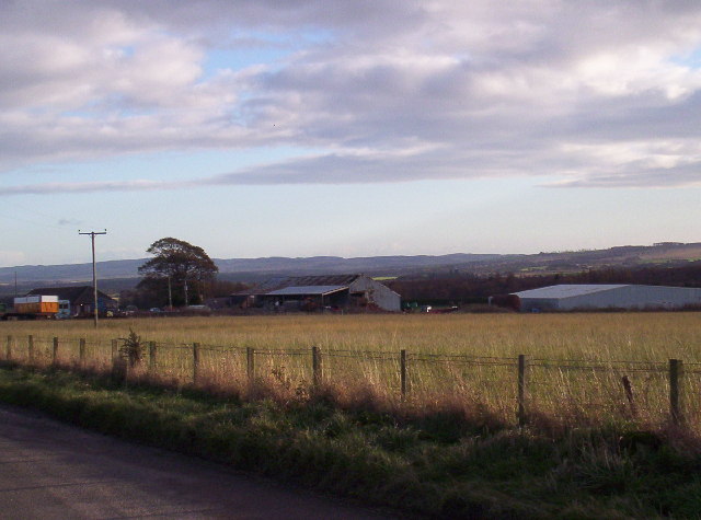
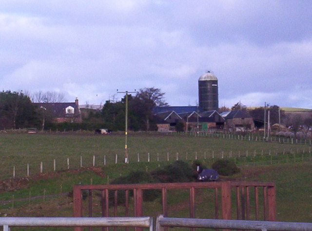
West Wood Images

Images are sourced within 2km of 56.791958/-2.7144951 or Grid Reference NO5666. Thanks to Geograph Open Source API. All images are credited.

Towards Brown Caterthun The view from the lower heather clad slopes of White Caterthun towards its twin. Some rather windblown conifers on the hillside.
Towards Brown Caterthun
The view from the lower heather clad slopes of White Caterthun towards its twin. Some rather windblown conifers on the hillside.
Outer defences, White Caterthun An impressive Iron Age hillfort and probable settlement surrounded by the remains of huge stone defences comprising thousands, if not millions of stones.
Outer defences, White Caterthun
An impressive Iron Age hillfort and probable settlement surrounded by the remains of huge stone defences comprising thousands, if not millions of stones.
Inner defences of White Caterthun The inner bank of stones around the central area of White Caterthun Iron Age hillfort. One wonders just how many stones were used in the construction of the defences, where they all came from, and how many man hours the construction took. There is some evidence that the defences may have been vitrified and that there may have been timber defences as well.
Inner defences of White Caterthun
The inner bank of stones around the central area of White Caterthun Iron Age hillfort. One wonders just how many stones were used in the construction of the defences, where they all came from, and how many man hours the construction took. There is some evidence that the defences may have been vitrified and that there may have been timber defences as well.
White Caterthun Hillfort, looking Northeast with neighbouring fort (Brown Caterthun) seen in middle distance.
White Caterthun
Hillfort, looking Northeast with neighbouring fort (Brown Caterthun) seen in middle distance.
Archaeological dig on the Brown Caterthun The Brown Caterthun is one of a pair of prehistoric hill forts. It is called 'Brown' in contrast to the white stones of its neighbour for which see Paul's excellent shot in NO5466 <a title="https://www.geograph.org.uk/photo/1028" href="https://www.geograph.org.uk/photo/1028">Link</a>
Archaeological dig on the Brown Caterthun
The Brown Caterthun is one of a pair of prehistoric hill forts. It is called 'Brown' in contrast to the white stones of its neighbour for which see Paul's excellent shot in NO5466 Link
Pitmudie Farm With the Grampian foothills in the distance.
Pitmudie Farm
With the Grampian foothills in the distance.
Lundie Castle from a distance
View of Blair Muir and Some Lovely Sheep!!!!!!!!!!
Ramparts and Scots Pine, the White Caterthun.
Ramparts of Brown caterthun
View east from the White Caterthun View east towards Stracathro Hill from the White Caterthun. The foreground shows the stony ridge of the perimeter of this Iron Age hill fort.
View east from the White Caterthun
View east towards Stracathro Hill from the White Caterthun. The foreground shows the stony ridge of the perimeter of this Iron Age hill fort.
Brown Caterthun from Car Park The hillfort comprises six lines of defences (more easily seen from the air).
The innermost fortification was a massive stone wall with a single entrance to the north. It measures 60m x 80m. The other five ramparts, broken by an unusually large number of entrances, enclose a total internal area of about 330m x 300m. 
The name 'Brown' refers to its heather-covered ramparts. At the other side of the valley there is a twin, although later, hillfort called White Caterthun. 
In care of Historic Scotland

<span class="nowrap"><a title="http://www.stonepages.com/ancient_scotland/sites/br_cater.htm" rel="nofollow ugc noopener" href="http://www.stonepages.com/ancient_scotland/sites/br_cater.htm">Link</a><img style="margin-left:2px;" alt="External link" title="External link - shift click to open in new window" src="https://s1.geograph.org.uk/img/external.png" width="10" height="10"/></span>
Brown Caterthun from Car Park
The hillfort comprises six lines of defences (more easily seen from the air). The innermost fortification was a massive stone wall with a single entrance to the north. It measures 60m x 80m. The other five ramparts, broken by an unusually large number of entrances, enclose a total internal area of about 330m x 300m. The name 'Brown' refers to its heather-covered ramparts. At the other side of the valley there is a twin, although later, hillfort called White Caterthun. In care of Historic Scotland LinkExternal link
Road between the Caterthuns. A snow plough takes a break at the parking place between the two hill forts. the road leads on to Glen Lethnot.
Road between the Caterthuns.
A snow plough takes a break at the parking place between the two hill forts. the road leads on to Glen Lethnot.
Show me another place!

West Wood is located at Grid Ref: NO5666 (Lat: 56.791958, Lng: -2.7144951)

Unitary Authority: Angus

Police Authority: Tayside

What 3 Words

///racks.worldwide.vase. Near Brechin, Angus

Nearby Locations

West Wood

Related Wikis

Caterthun

Caterthun, or the Caterthuns, is a ridge of hills near the city of Brechin in Angus, Scotland. The Caterthuns are notable for being the site of two Iron...

Edzell Castle

Edzell Castle is a ruined 16th-century castle, with an early-17th-century walled garden. It is located close to Edzell, and is around 5 miles (8 km) north...

Edzell railway station

Edzell railway station served the village of Edzell, Angus, Scotland from 1896 to 1964 on the Brechin and Edzell District Railway. == History == The station...

Edzell

Edzell (; Scots: Aigle; Scottish Gaelic: Eigill) is a village in Angus, Scotland. It is 5 miles (8 km) north of Brechin, by the River North Esk. Edzell...

Have you been to West Wood?

Leave your review of West Wood below (or comments, questions and feedback).