Bog Wood
Wood, Forest in Banffshire
Scotland
Bog Wood
The requested URL returned error: 429 Too Many Requests
If you have any feedback on the listing, please let us know in the comments section below.
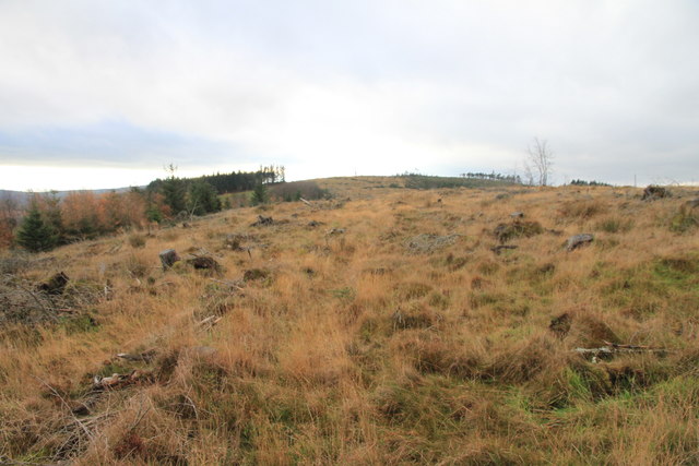
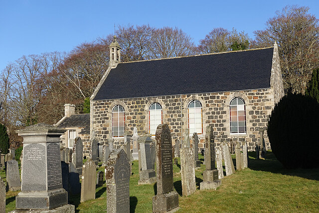
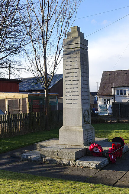
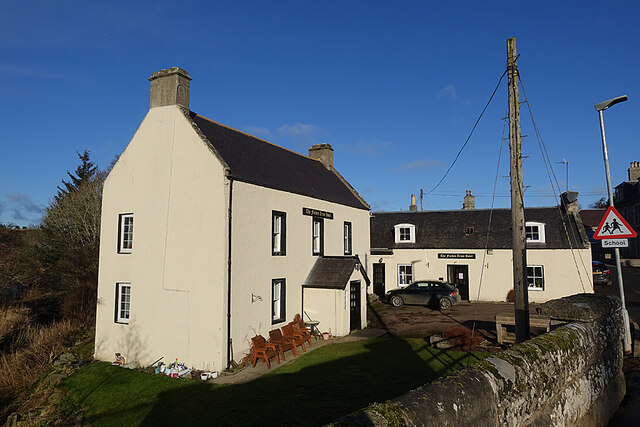
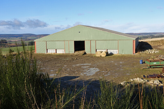
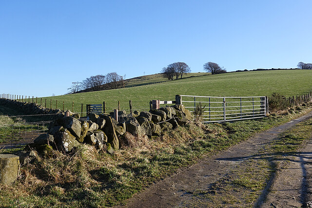
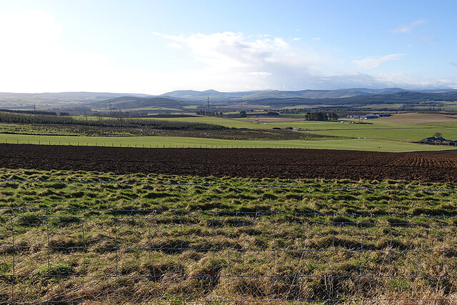
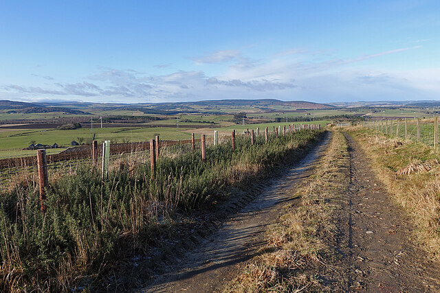
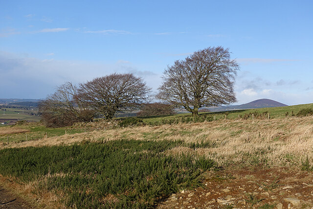
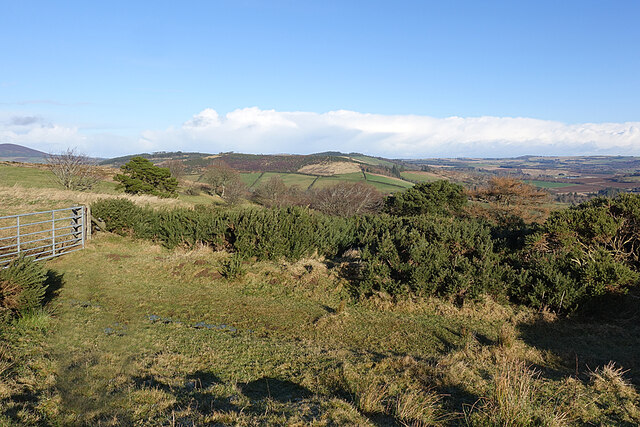
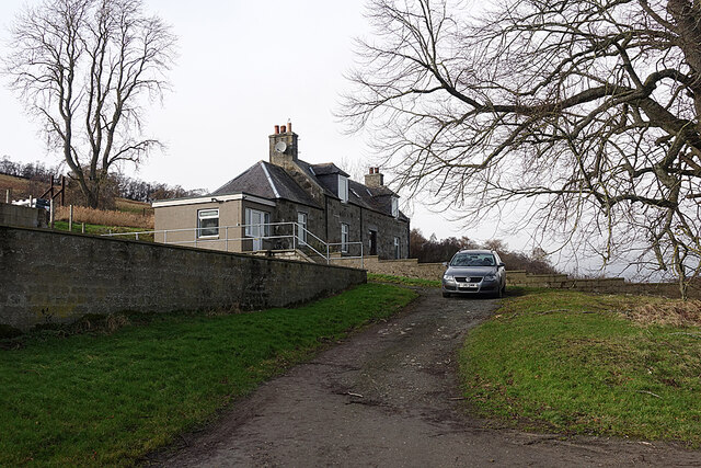
Bog Wood Images
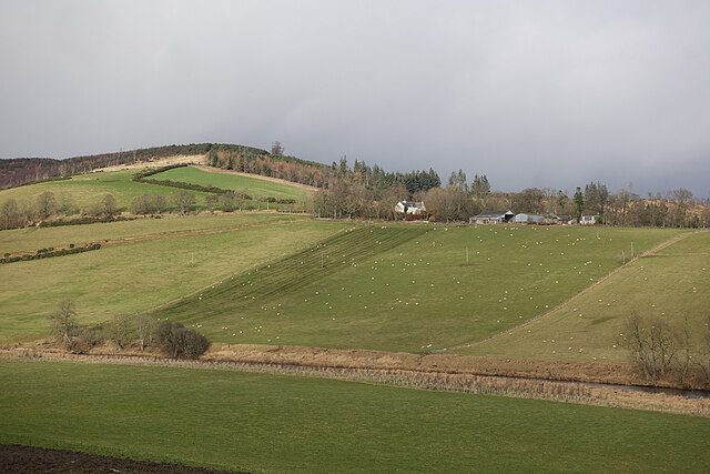
Images are sourced within 2km of 57.522466/-2.7323822 or Grid Reference NJ5648. Thanks to Geograph Open Source API. All images are credited.

Bog Wood is located at Grid Ref: NJ5648 (Lat: 57.522466, Lng: -2.7323822)
Unitary Authority: Moray
Police Authority: North East
What 3 Words
///icons.cloud.occur. Near Aberchirder, Aberdeenshire
Nearby Locations
Related Wikis

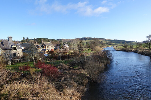
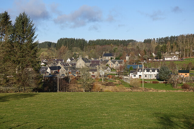
Milltown of Rothiemay
Milltown of Rothiemay (Scottish Gaelic: Ràth a' Mhuigh) is a small inland village, built mostly of granite, in the north-east of Scotland and is within...

Mountains Burn
Mountains Burn is a burn which marks the boundary of the parish of Huntly, Aberdeenshire, Scotland. == References ==

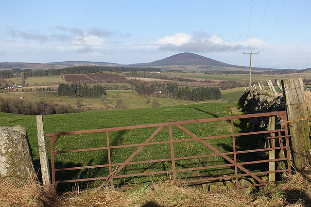
Fourman Hill
Fourman Hill is a hill located west of Bogniebrae, Aberdeenshire, Scotland. It has an elevation of 1,127 feet (344 m). A cairn near the summit marked...

River Isla, Moray
The River Isla (Scottish Gaelic: Uisge Ìle) is a tributary of the River Deveron in North-East Scotland. The area surrounding it is known as Strathisla...
Nearby Amenities
Located within 500m of 57.522466,-2.7323822Have you been to Bog Wood?
Leave your review of Bog Wood below (or comments, questions and feedback).