Gallow Hill
Hill, Mountain in Banffshire
Scotland
Gallow Hill
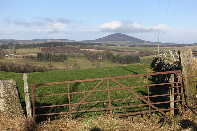
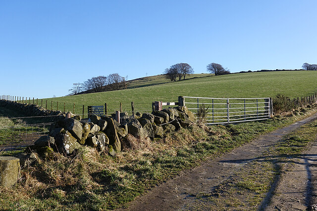
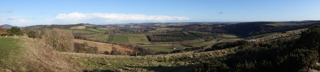
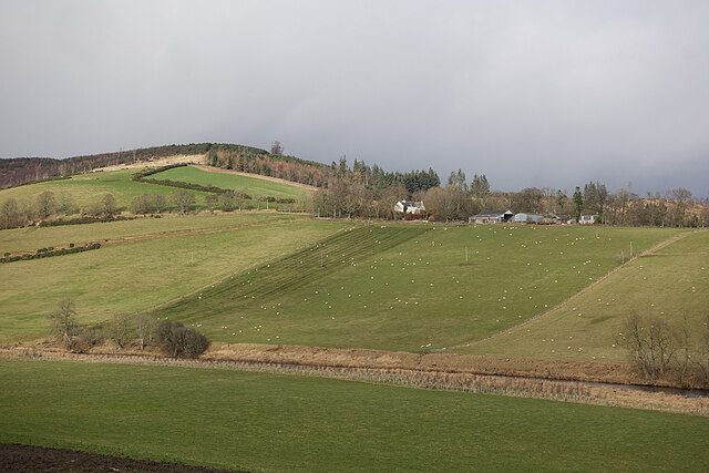
Gallow Hill is a prominent hill located in the region of Banffshire, Scotland. It is situated near the town of Banff and is a notable landmark in the area. Rising to an elevation of approximately 110 meters (360 feet), Gallow Hill offers breathtaking panoramic views of the surrounding countryside and coastal areas.
The hill is primarily composed of sedimentary rocks, including sandstone and limestone, which have been eroded over time by natural forces such as wind and water. This erosion has resulted in the formation of distinctive features, including craggy cliffs and steep slopes, which add to the visual appeal of Gallow Hill.
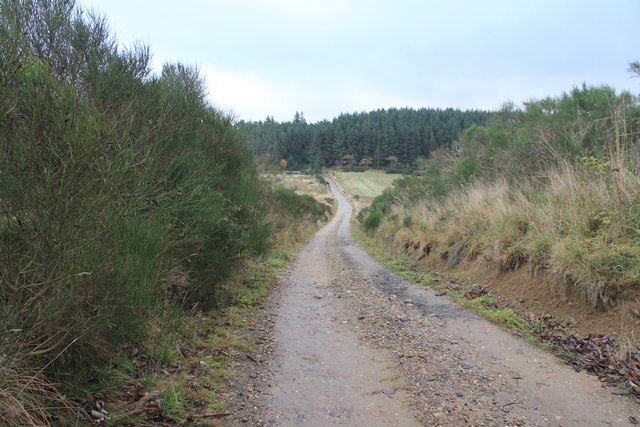
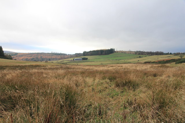
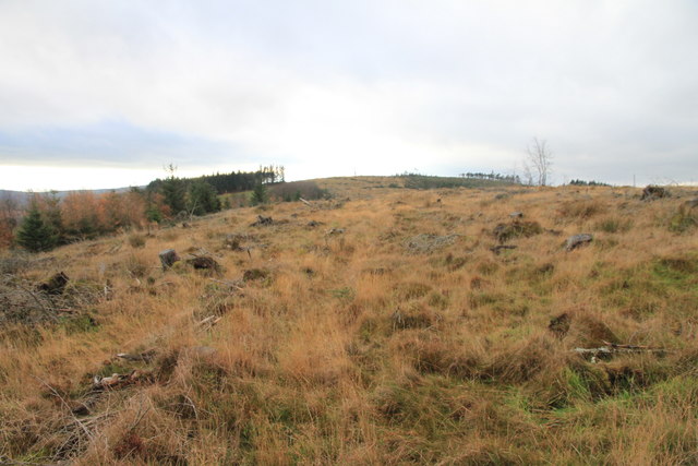
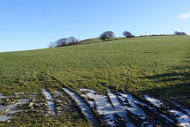
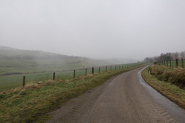
The hill is easily accessible by foot, with several walking trails leading to its summit. These trails pass through picturesque landscapes, including woodlands and fields, offering visitors a chance to immerse themselves in the natural beauty of the area. The summit itself is relatively flat, providing a perfect vantage point for capturing stunning photographs or simply enjoying the peaceful surroundings.
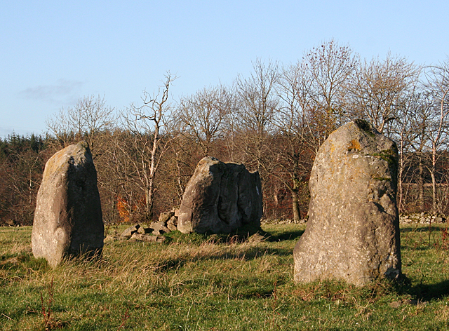
Gallow Hill also has historical significance, as it was once the site of an Iron Age fort. Archaeological excavations have revealed remnants of ancient structures and artifacts, providing valuable insights into the region's past.
Overall, Gallow Hill is a popular destination for locals and tourists alike, offering a unique blend of natural beauty, recreational opportunities, and historical interest. Whether one is looking for a leisurely walk, a scenic picnic spot, or a glimpse into the area's rich heritage, Gallow Hill is a must-visit location in Banffshire.
If you have any feedback on the listing, please let us know in the comments section below.
Gallow Hill Images
Images are sourced within 2km of 57.526648/-2.7221299 or Grid Reference NJ5648. Thanks to Geograph Open Source API. All images are credited.

Gallow Hill is located at Grid Ref: NJ5648 (Lat: 57.526648, Lng: -2.7221299)
Unitary Authority: Moray
Police Authority: North East
What 3 Words
///stroke.broadens.surprise. Near Aberchirder, Aberdeenshire
Nearby Locations
Related Wikis

Milltown of Rothiemay
Milltown of Rothiemay (Scottish Gaelic: Ràth a' Mhuigh) is a small inland village, built mostly of granite, in the north-east of Scotland and is within...

Mountains Burn
Mountains Burn is a burn which marks the boundary of the parish of Huntly, Aberdeenshire, Scotland. == References ==

Fourman Hill
Fourman Hill is a hill located west of Bogniebrae, Aberdeenshire, Scotland. It has an elevation of 1,127 feet (344 m). A cairn near the summit marked the...

River Isla, Moray
The River Isla (Scottish Gaelic: Uisge Ìle) is a tributary of the River Deveron in North-East Scotland. The area surrounding it is known as Strathisla...

Avochie Castle
Avochie Castle is a ruined tower house, dating from the 16th century, or early 17th century, around 4.5 miles (7.2 km) north of Huntly, east of the river...

Yonder Bognie
Yonder Bognie is a stone circle in Aberdeenshire, Scotland. It is located in an agricultural field under private ownership and is a scheduled monument...

Bognie Castle
Bognie Castle (also called Conzie Castle) is a ruined castle near Huntly and Banff in the Aberdeenshire region of Scotland. It was built in the 17th century...

Rothiemay railway station
Rothiemay railway station served the village of Milltown of Rothiemay, Aberdeenshire, Scotland from 1856 to 1968 on the Great North of Scotland Railway...
Nearby Amenities
Located within 500m of 57.526648,-2.7221299Have you been to Gallow Hill?
Leave your review of Gallow Hill below (or comments, questions and feedback).