Birlie Knowe Plantation
Wood, Forest in East Lothian
Scotland
Birlie Knowe Plantation
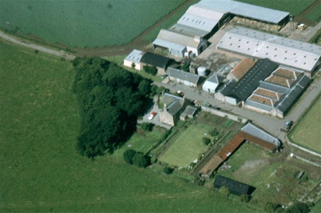
Birlie Knowe Plantation is a picturesque woodland located in East Lothian, Scotland. Situated near the village of Whitekirk, the plantation covers an area of approximately 50 hectares (123 acres) and is a prominent natural feature in the region.
The plantation primarily consists of a mix of deciduous and coniferous trees, creating a diverse and vibrant ecosystem. The woodland is home to a wide variety of flora and fauna, including oak, beech, birch, and pine trees. The dense canopy of the forest provides shelter and nesting sites for numerous bird species, such as woodpeckers, owls, and thrushes, making it a popular destination for birdwatchers.
Birlie Knowe Plantation is also known for its well-maintained walking trails, which wind through the woodland, offering visitors the opportunity to explore its beauty. The trails are suitable for all levels of fitness and provide stunning views of the surrounding countryside.
The plantation is managed by the local forestry commission, ensuring the preservation of the natural habitat and encouraging sustainable forestry practices. It is a popular destination for outdoor enthusiasts, nature lovers, and those seeking a peaceful retreat away from the hustle and bustle of everyday life.
In summary, Birlie Knowe Plantation in East Lothian is a captivating woodland that offers breathtaking scenery, diverse wildlife, and well-maintained walking trails. It is a haven for nature enthusiasts and provides a tranquil escape from the urban environment.
If you have any feedback on the listing, please let us know in the comments section below.
Birlie Knowe Plantation Images
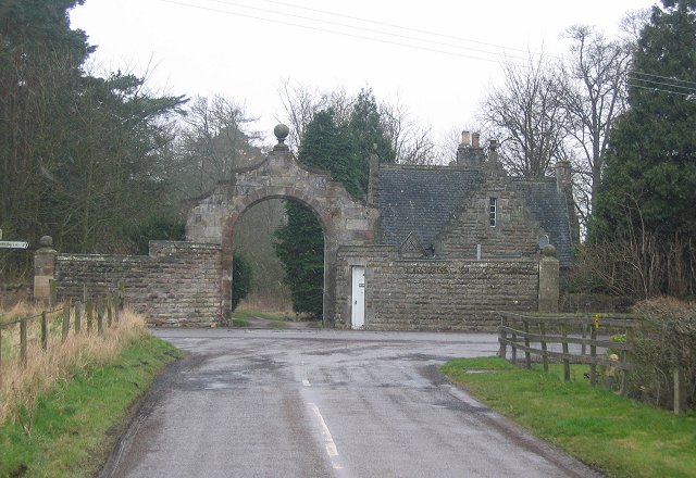
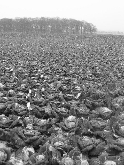
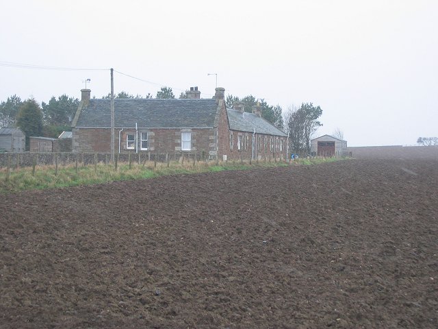
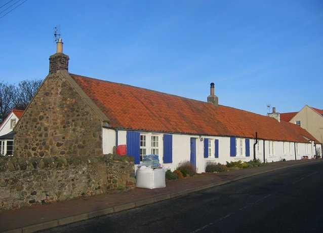
Images are sourced within 2km of 56.027376/-2.7106219 or Grid Reference NT5581. Thanks to Geograph Open Source API. All images are credited.


Birlie Knowe Plantation is located at Grid Ref: NT5581 (Lat: 56.027376, Lng: -2.7106219)
Unitary Authority: East Lothian
Police Authority: The Lothians and Scottish Borders
What 3 Words
///arming.looms.dose. Near North Berwick, East Lothian
Nearby Locations
Related Wikis

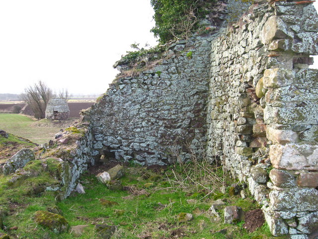
Waughton Castle
Waughton Castle is a ruined castle, dating from the fourteenth century, about 3 miles (4.8 km) north of East Linton, and 2 miles (3.2 km) west of Whitekirk...
Kingston, East Lothian
Kingston is a small hamlet near North Berwick in East Lothian, Scotland. Kingston was once known as Kings Seat; historic maps of the area show this....

East Fortune railway station
East Fortune railway station served the village of East Fortune, East Lothian, Scotland from 1848 to 1970 on the North British Railway Main Line. ��2...

John Muir Way
The John Muir Way is a 215-kilometre (130 mi) continuous long-distance route in southern Scotland, running from Helensburgh, Argyll and Bute in the west...
Nearby Amenities
Located within 500m of 56.027376,-2.7106219Have you been to Birlie Knowe Plantation?
Leave your review of Birlie Knowe Plantation below (or comments, questions and feedback).